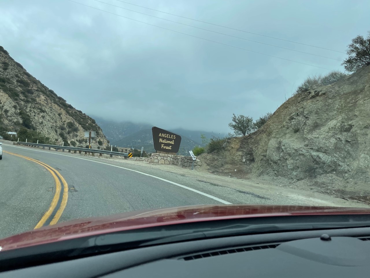
Back in May, I decided to take a drive through the 66 mile (east/west) Angeles National Forest, which is also part of the San Gabriel Mountains. I had never driven it before and wanted to enjoy nature for the day. There are a few main access points to get to the forest, so I started at the bottom of the La Cañada Flintridge point and made my way up. The morning I went, it was very cloudy.
A few other notes to make:
- There is no reception once you get deep into the forest (and at times sketchy as I was toward the end of the route).
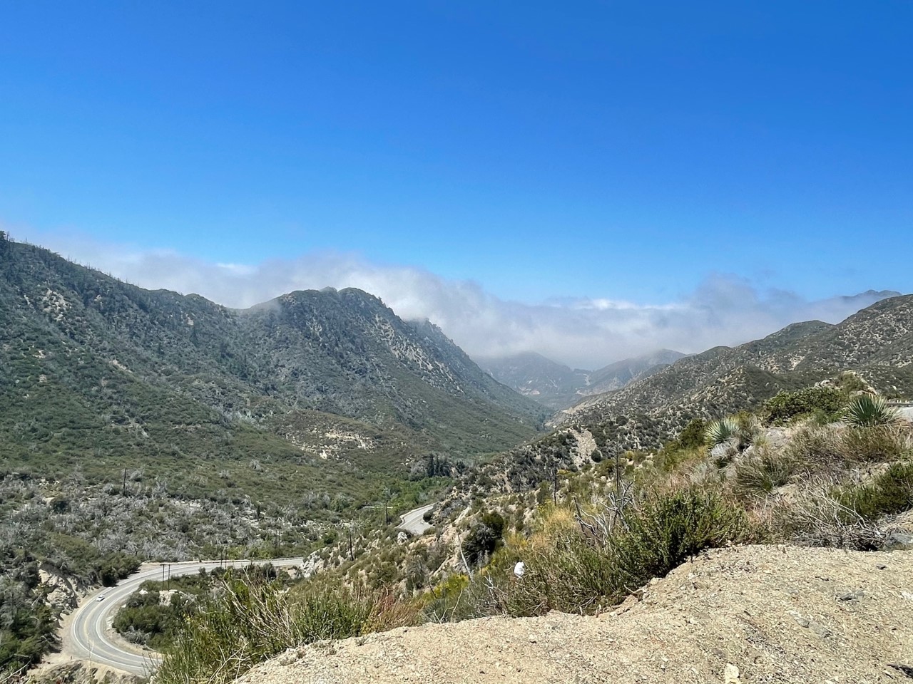
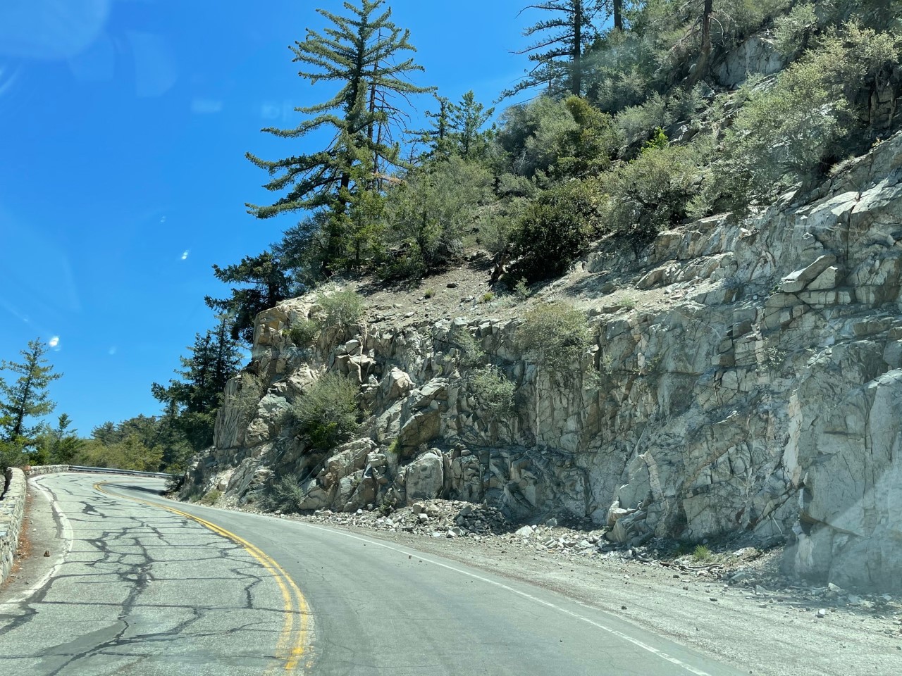
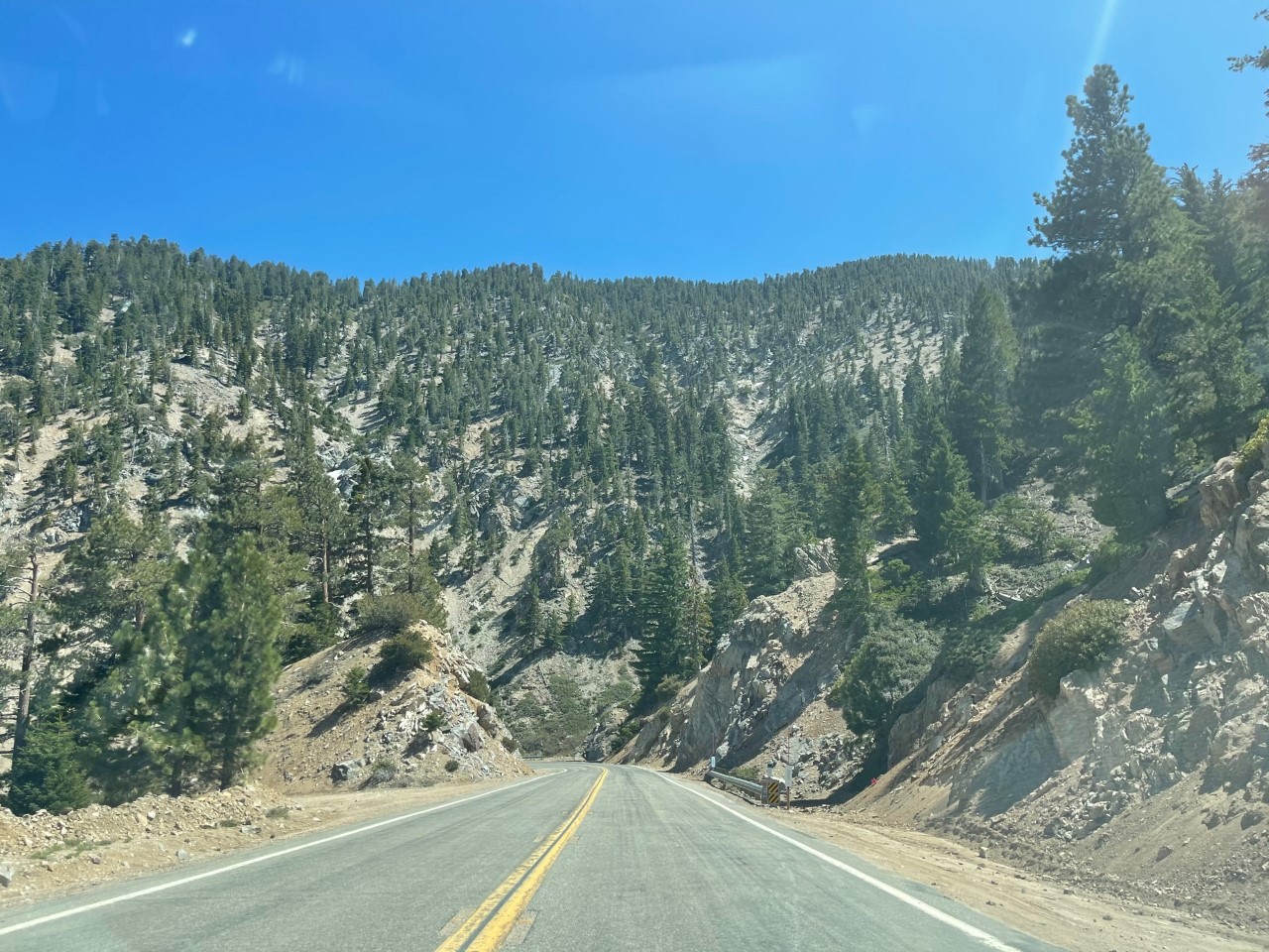
- This is a very stop and go kind of forest with a ton of scenic spots and turnoff points. Out of all of the national parks and forest drives I have done in the past years, I have never seen so many!
- Bring water with you and some healthy snacks. Even if you don’t decide to hike, you will get hungry and thirsty!
Angeles National Forest Highway Day Trip
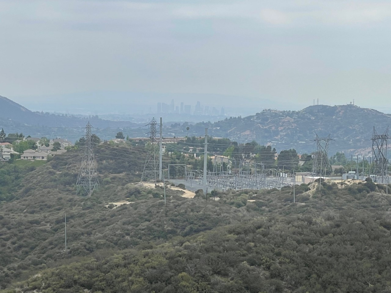
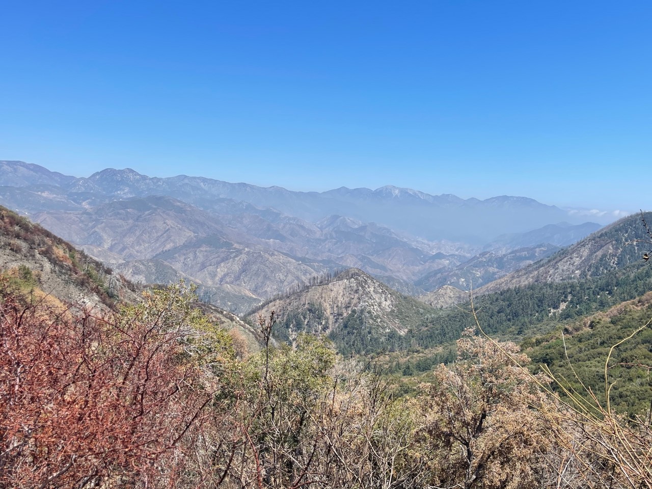
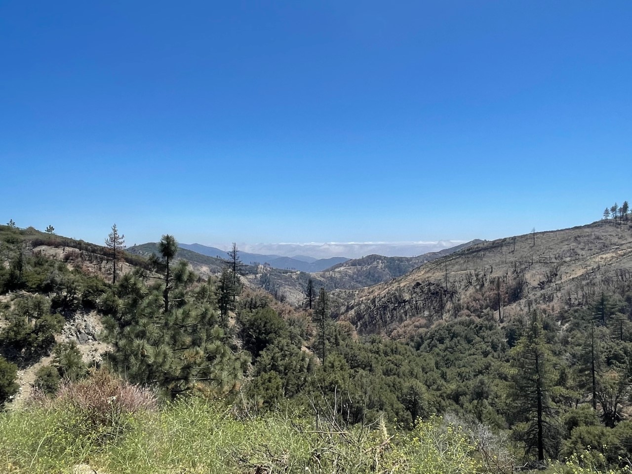
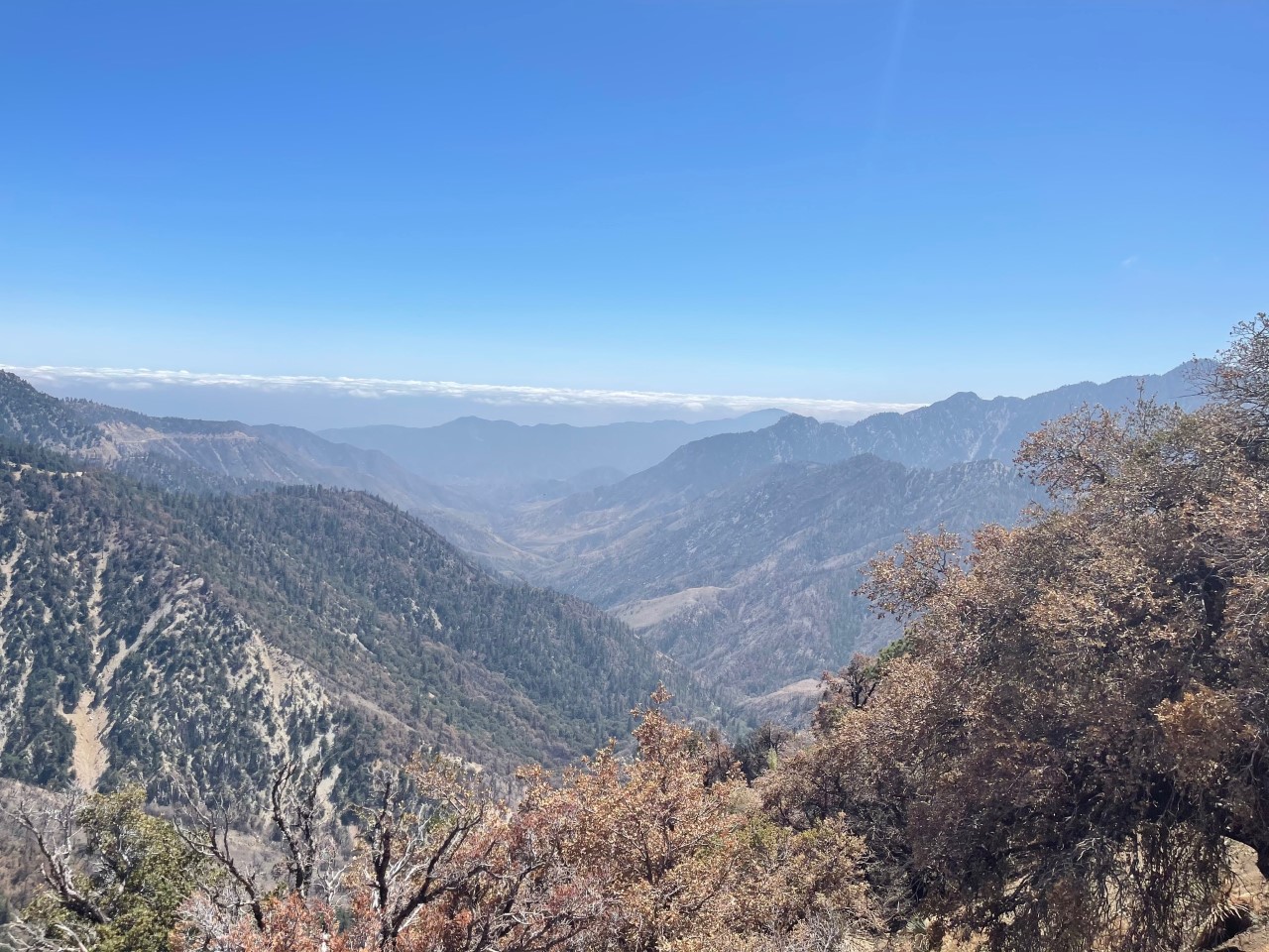
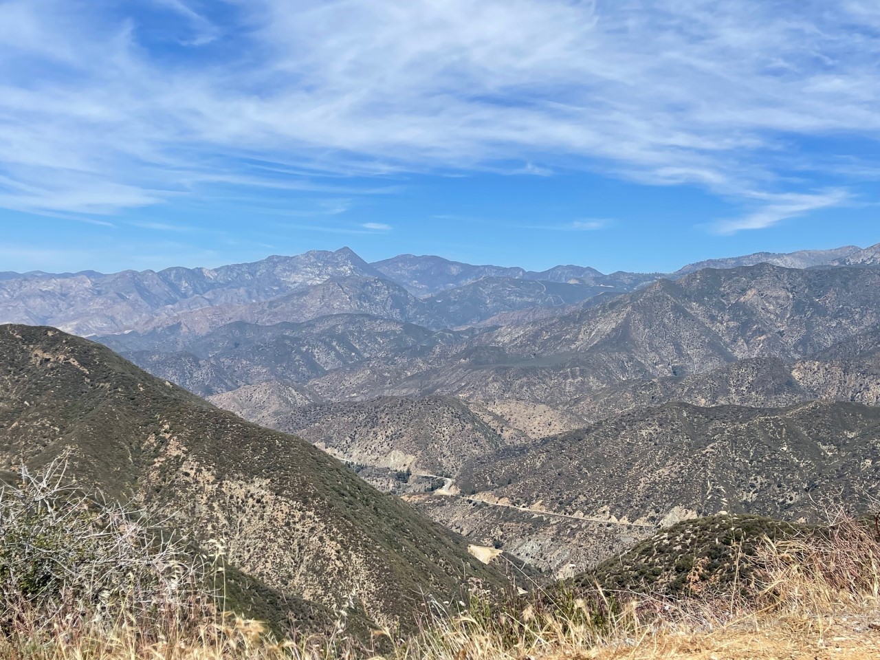
In the distance, I could see Downtown Los Angeles. This shot was a combination of clouds and smog. Usually after a good downpour, you can see the mountains crystal clear, so I am hoping to go back up and get a better shot of this at Valley View Point.
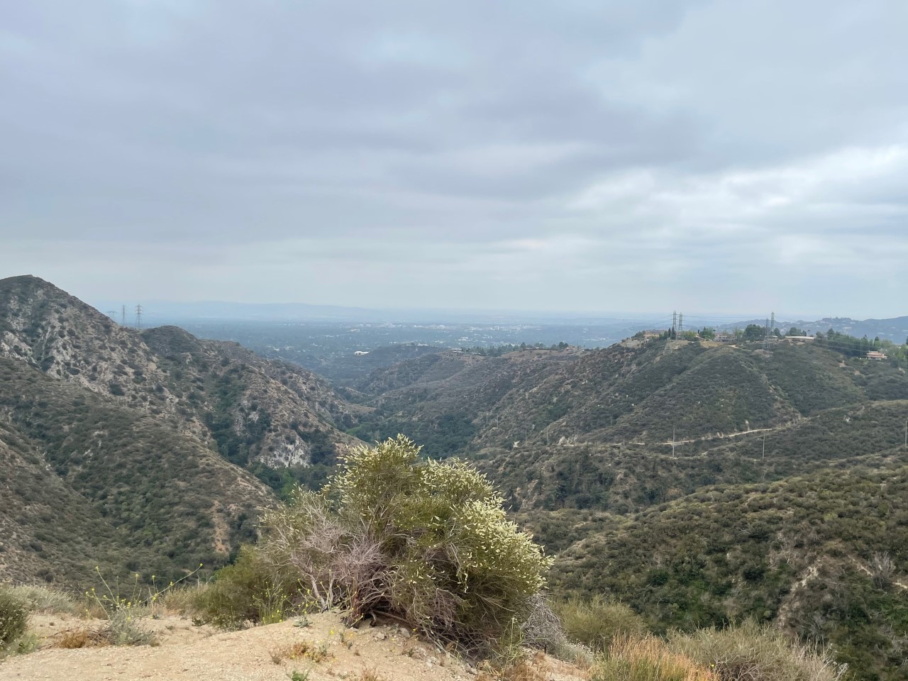
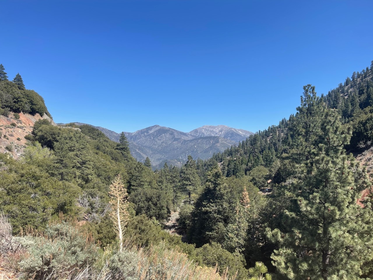
After driving for miles, I saw the sun peak through the clouds, alleluia! This shot was taken at one of the the Angeles Crest Scenic Viewpoints.
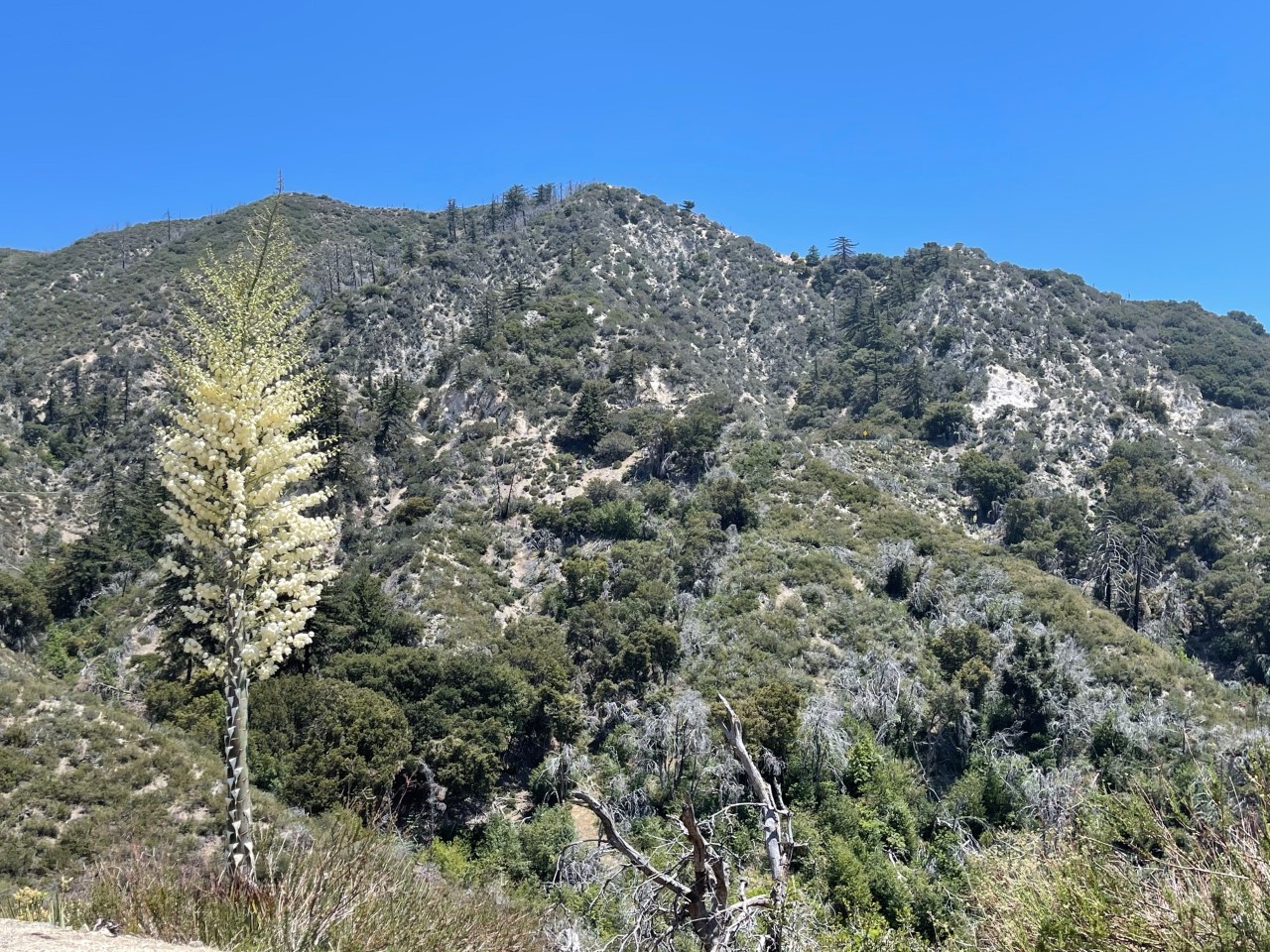
I kept seeing these flowers growing on the sides of the road. After I Googled, I THINK they are called a Popcorn Flower Tree. If I am wrong, let me know!
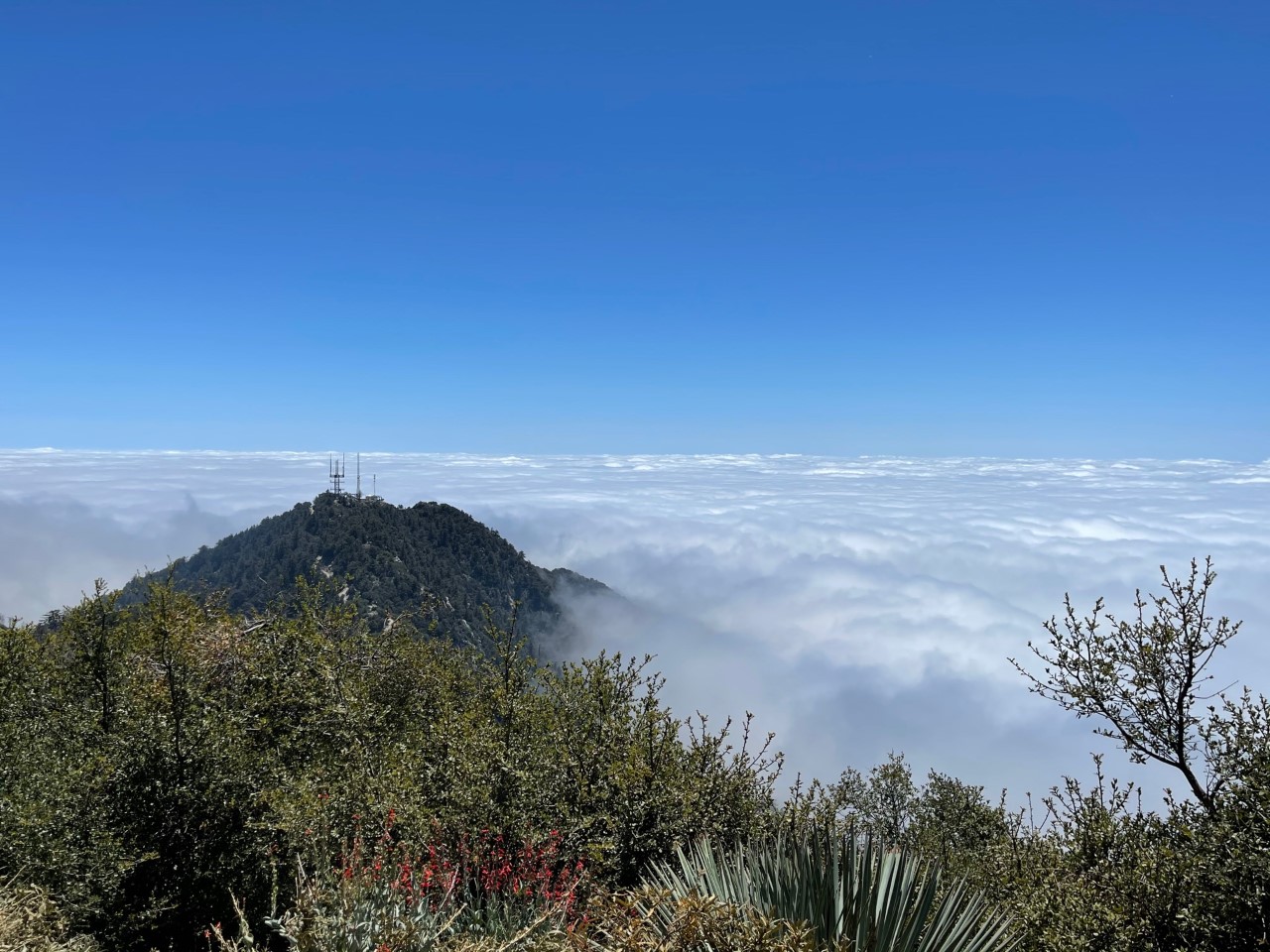
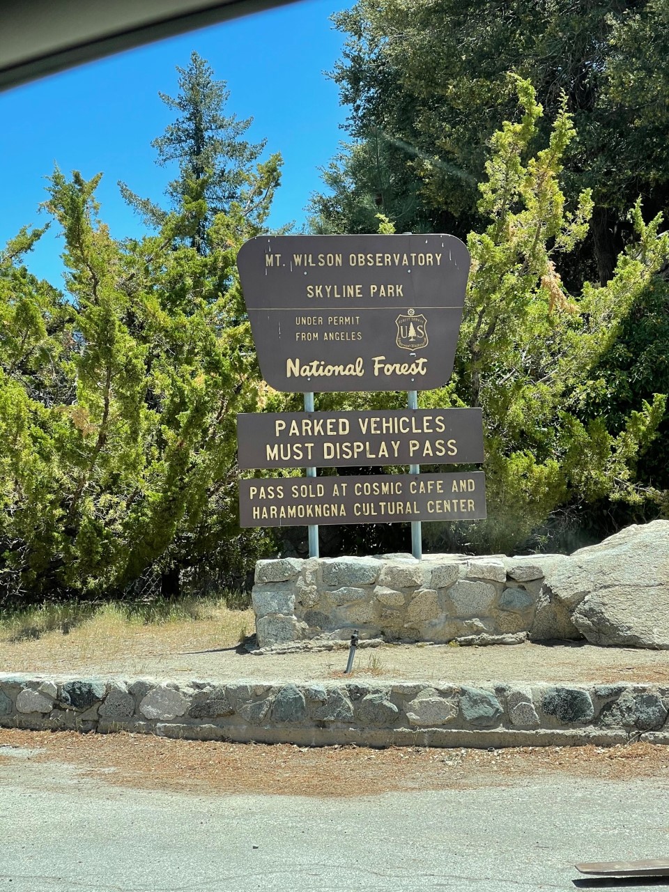
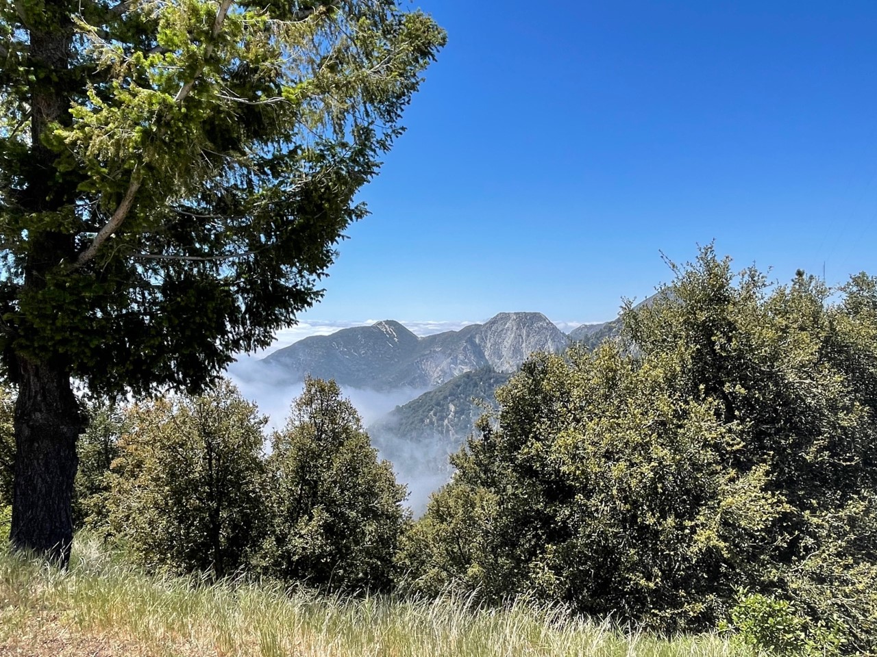
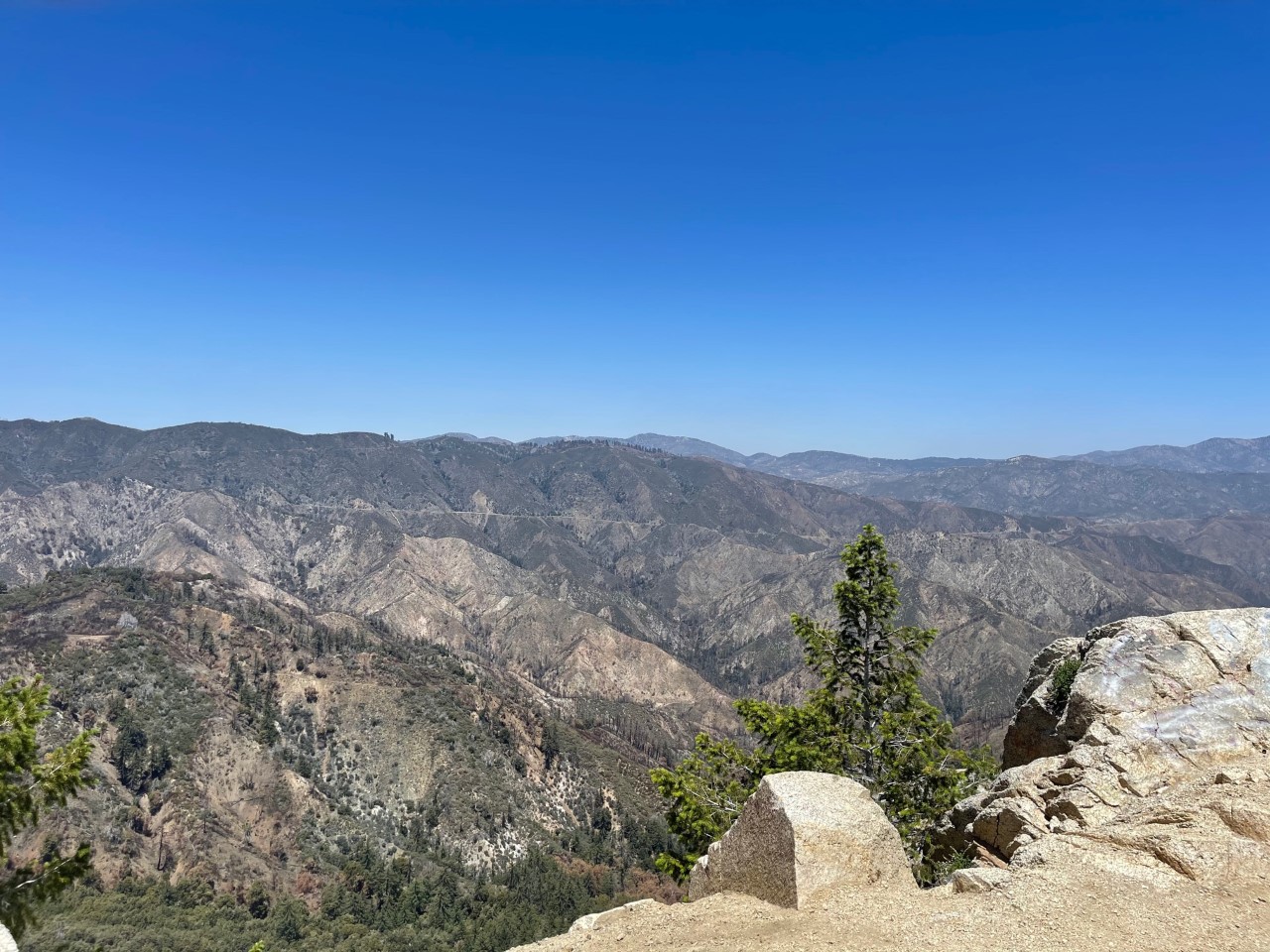
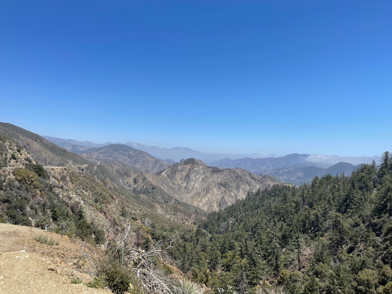
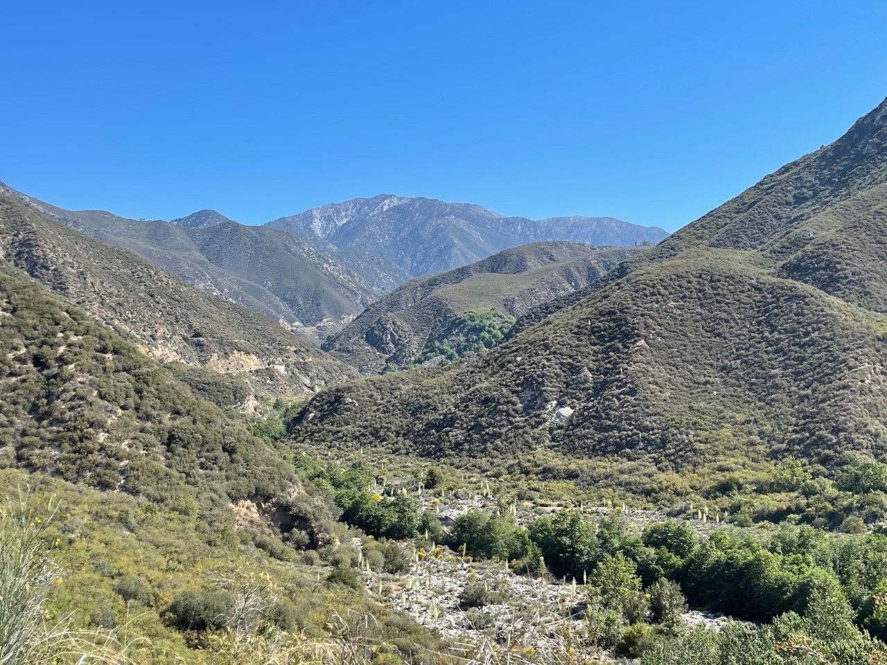
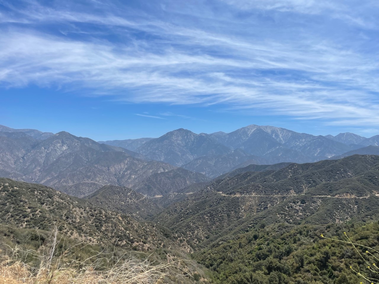
Next I took a long road up toward Mt. Wilson Observatory off Red Box Road. The observatory was built in the 1940s and has an elevation of 5,715 feet! I also stopped along the way and took some photos of the Valley Forge Canyon.
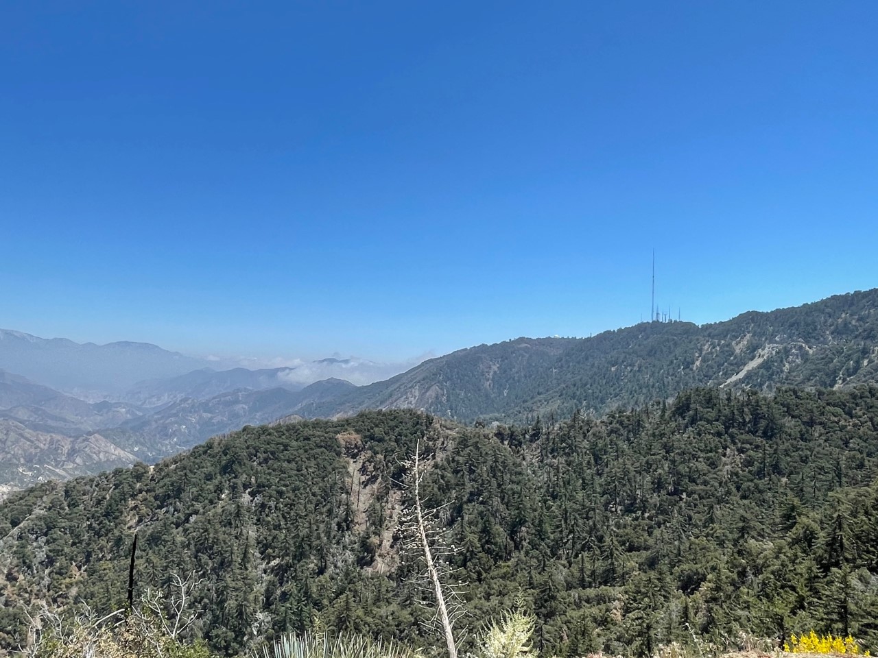
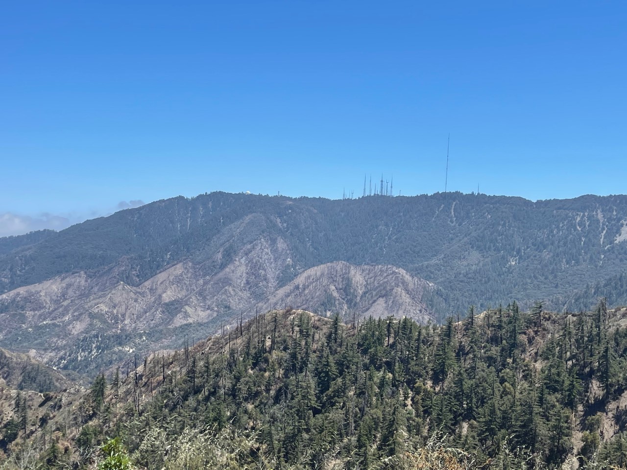
I knew I made it to the top when I saw the large antennas! I can even see these from the 210 Freeway. I was above the clouds, LITERALLY! It was such a sight to behold.
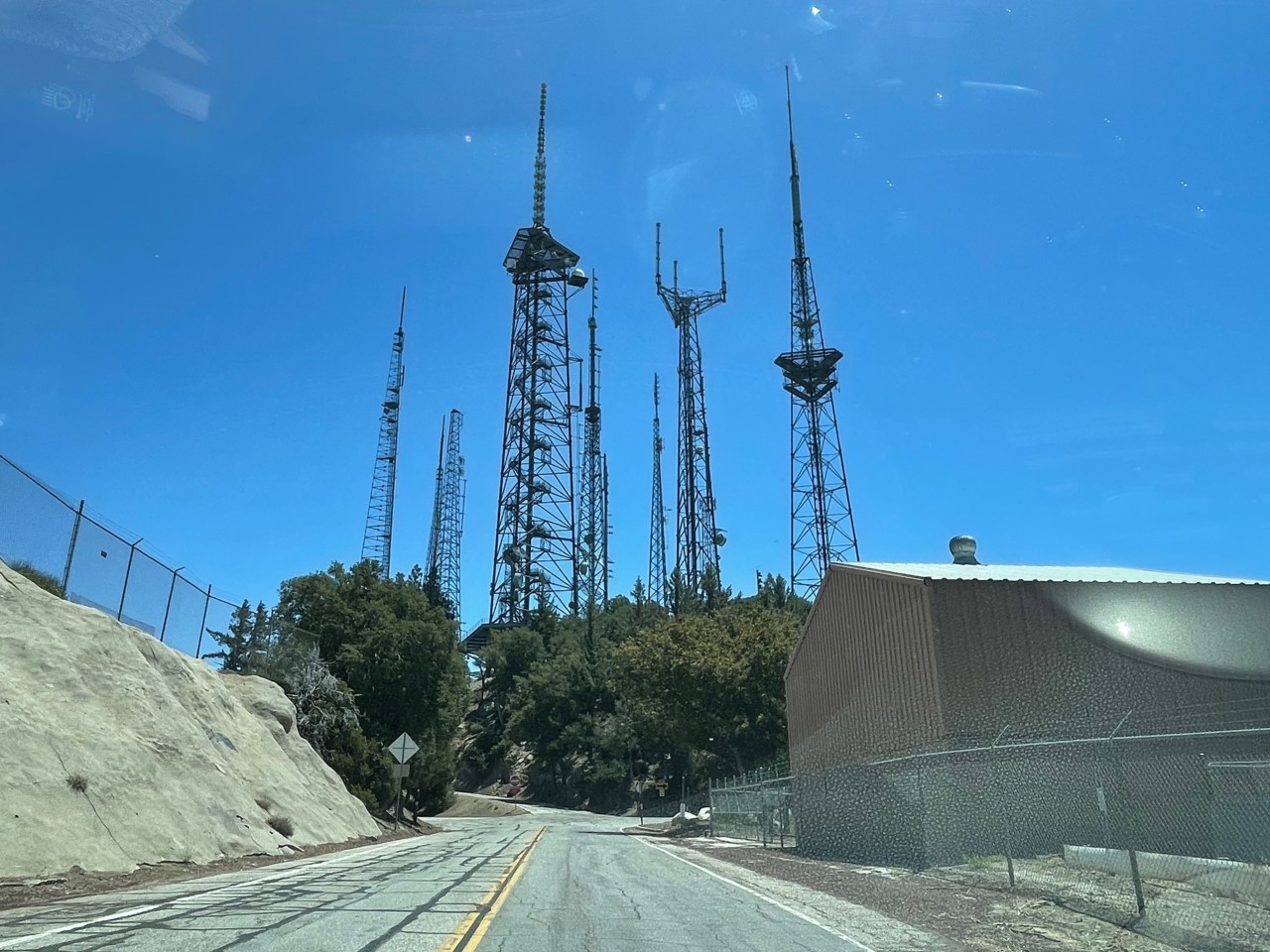
Unfortunately, the observatory was closed due to COVID-19. Nonetheless, it was still worth driving to the top!
On my way back down, I spotted another wildflower plant. After I Googled, I THINK it’s called a Chaste Tree (I know it doesn’t look like a tree, but could be a small formation of one)?
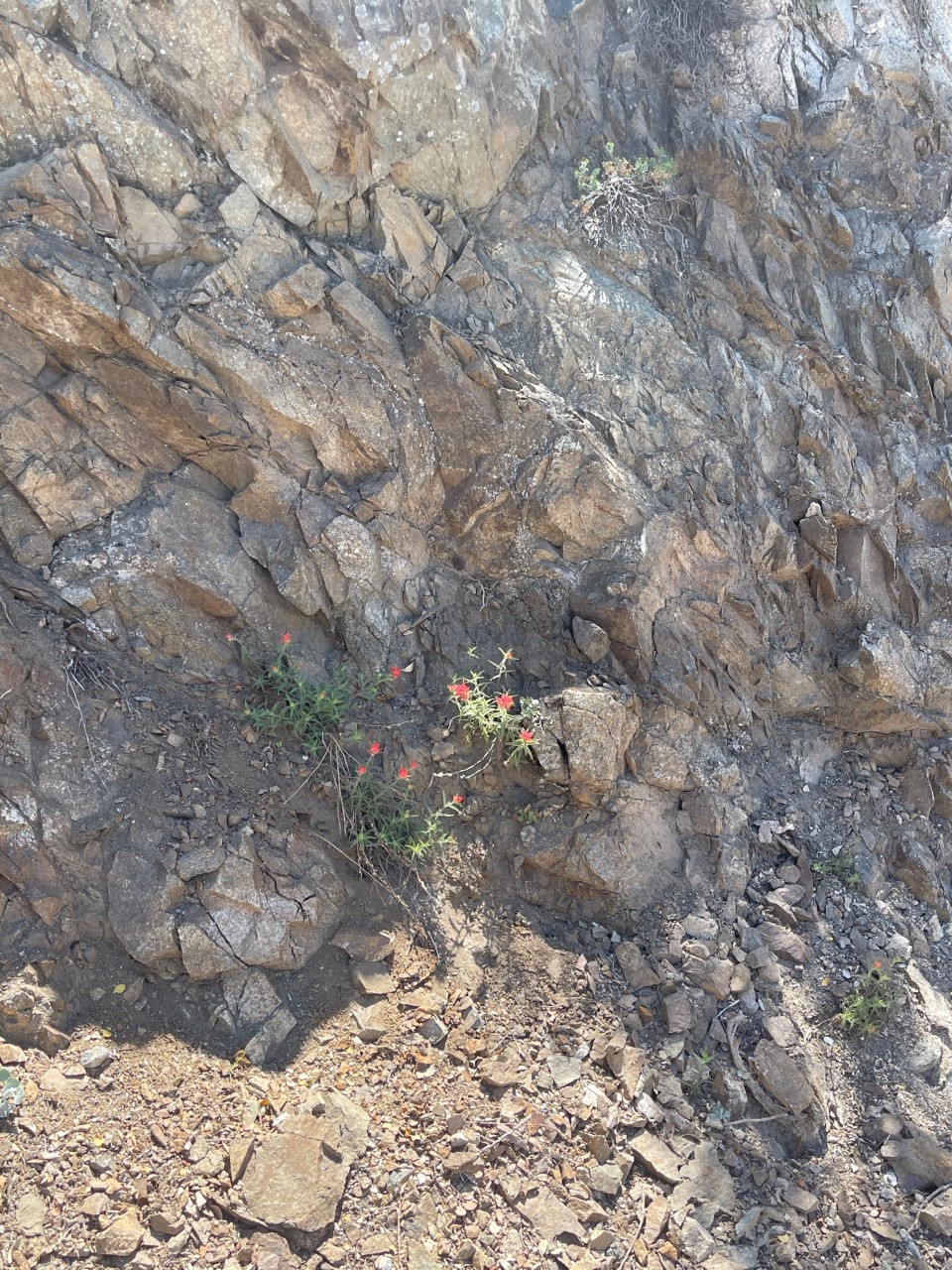
These flowers growing on the side of the rock are called Indian Paintbrush (again, I THINK?)
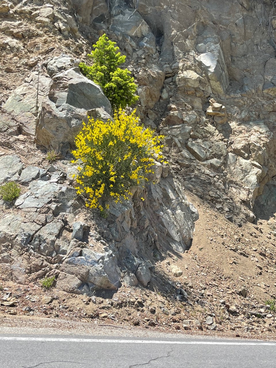
These flowers are called Wild Mustard.
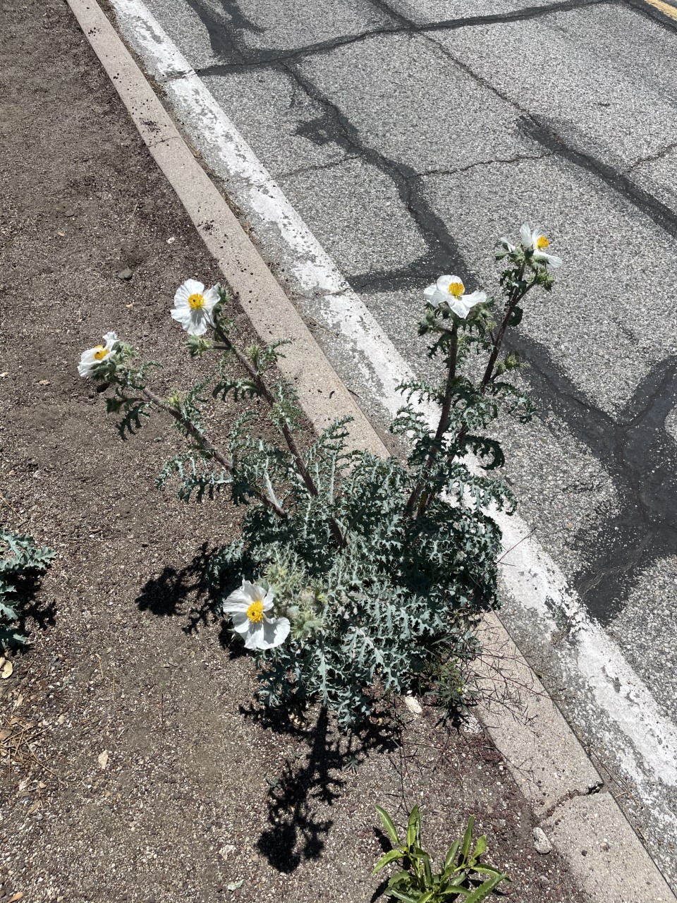
Finally, these flowers are called Prickly Poppy!
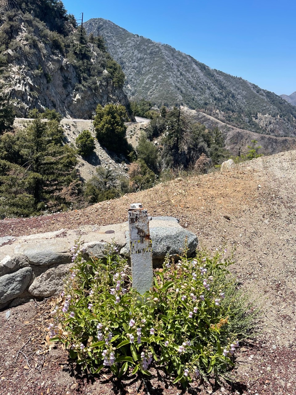
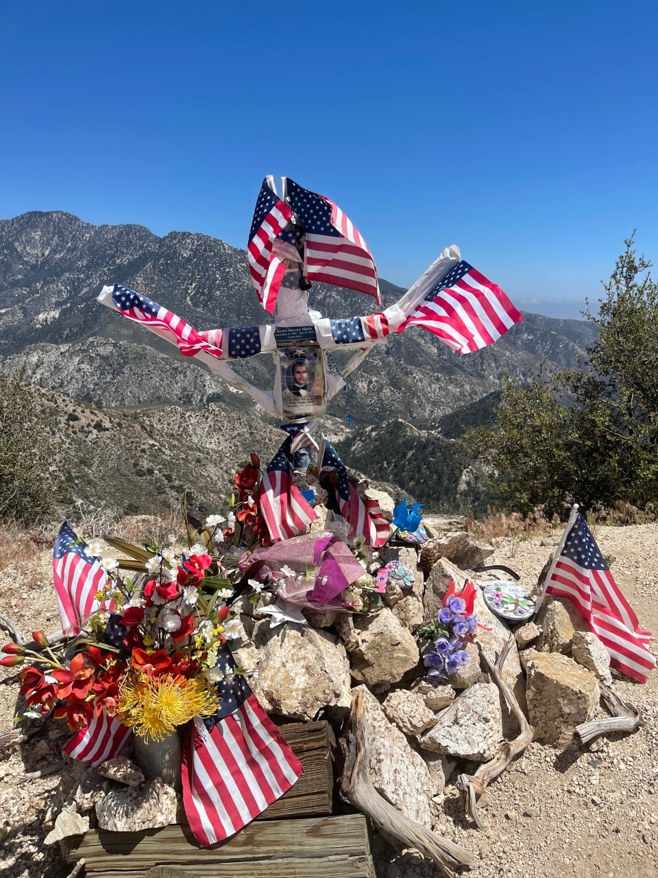
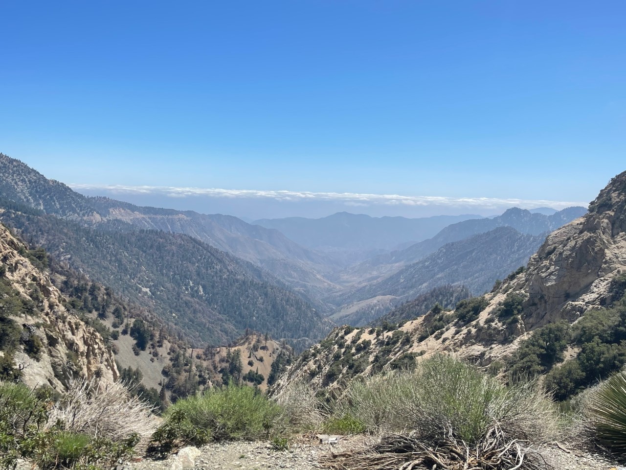
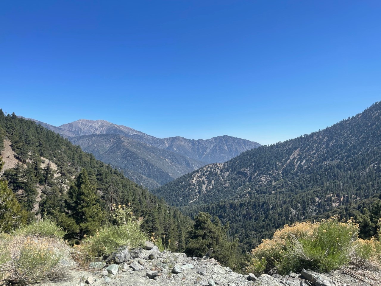
Next I stopped at another spot to get more photos of the Valley Forge Canyon and the antennas/observatory. I also snapped a photo of a cross memorial.
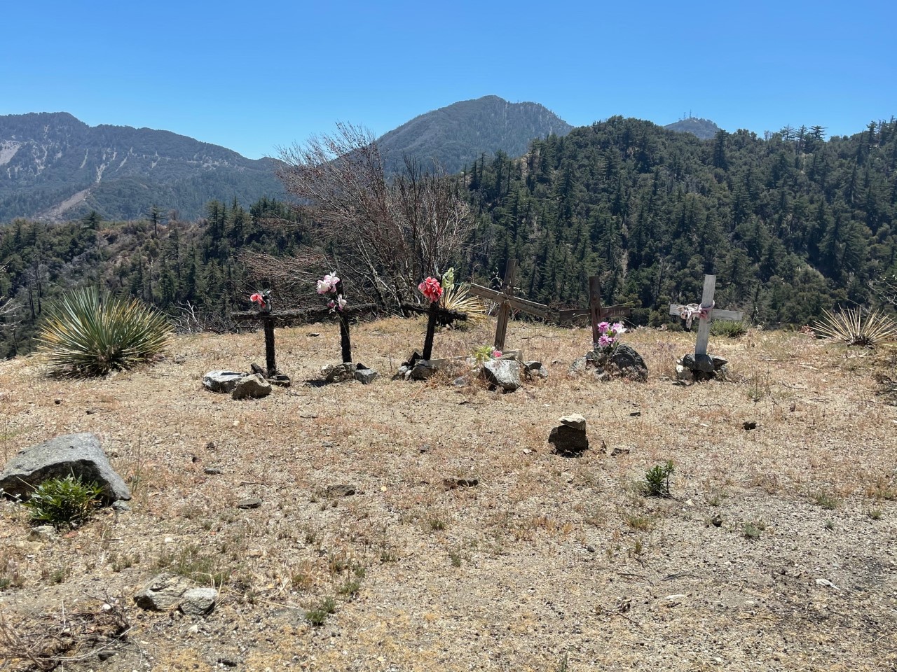
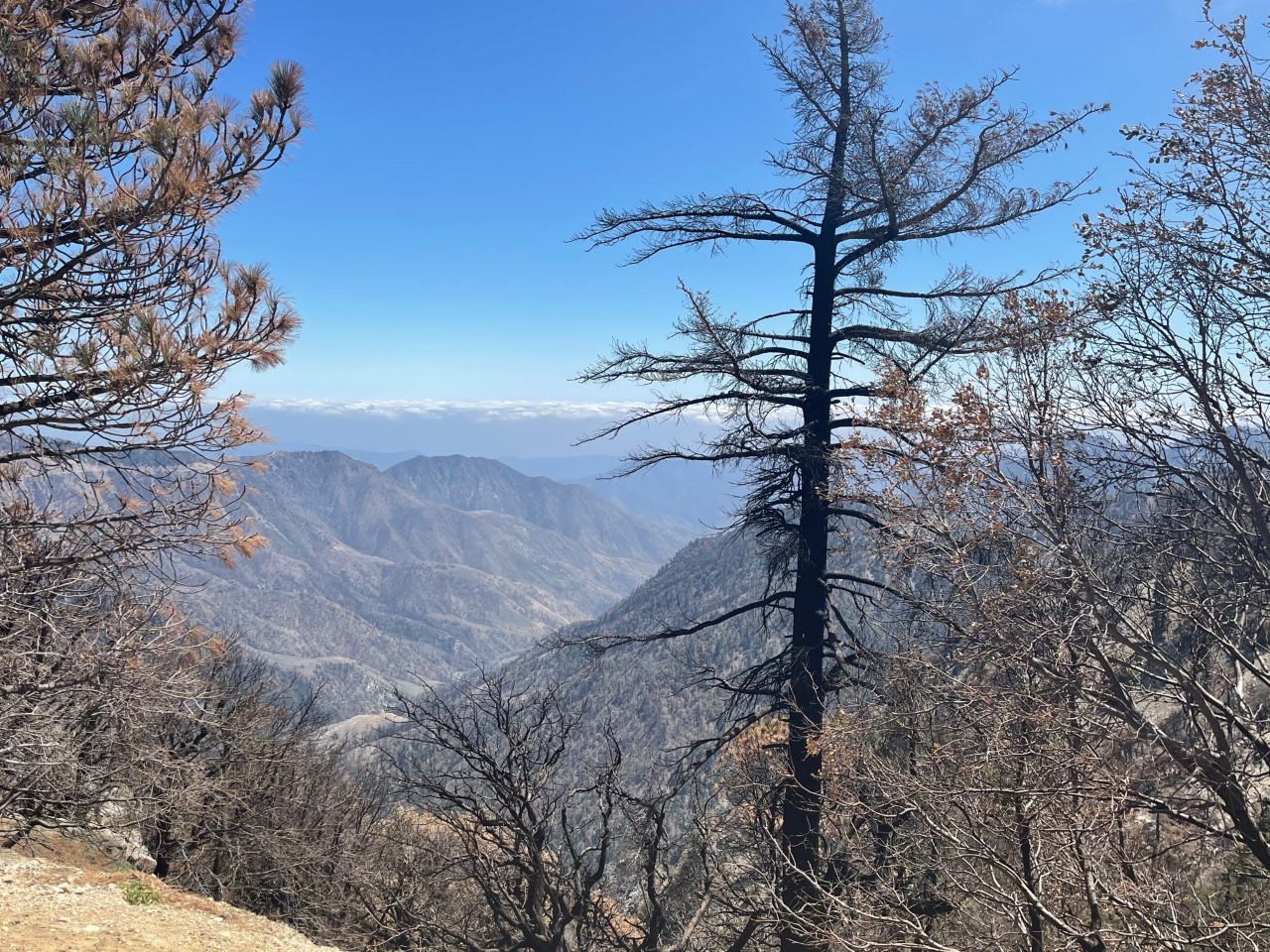
These next two shots if I recall were around the Waterman Mountain area, along with another memorial for a young man.
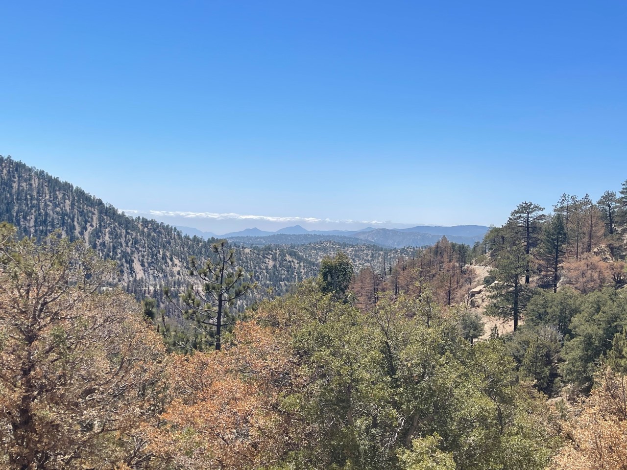
These next two photos were near the Williamson Rock Viewpoint.
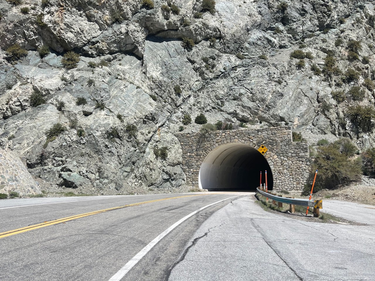
I had to drive through the Mt. Islip Tunnel (aka Angeles Crest Tunnels) to get to one of the most well-known scenic spots. There are two tunnels and before I headed in because I had stopped to get some more scenic shots, I heard a car’s horn beeping throughout the whole tunnel, it was quite the echo! You can also check out me driving through these on my Instagram page!
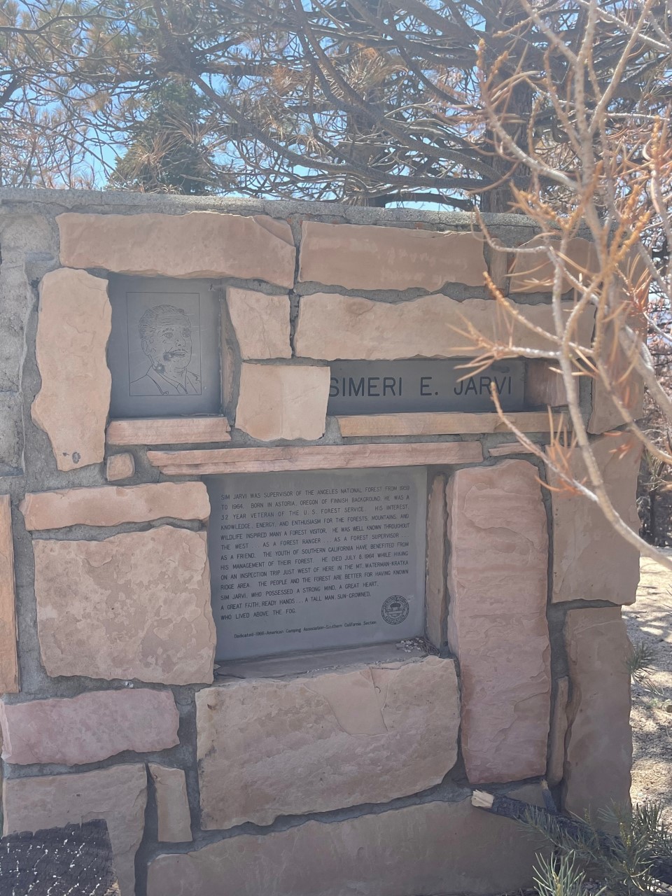
One the other side of the tunnel, I stopped at the Jarvi Memorial Vista. According to the plaque I saw, Simeri Jarvi was a U.S. Forest Service supervisor who worked in the 1950s and 1960s. This was one of the favorite scenic points!
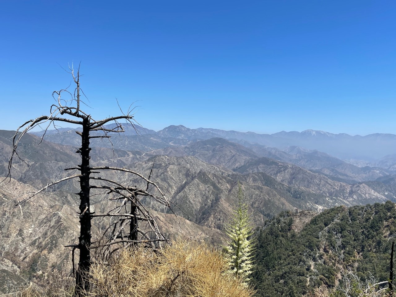
The shot below is some trees as I kept driving to my next spot.
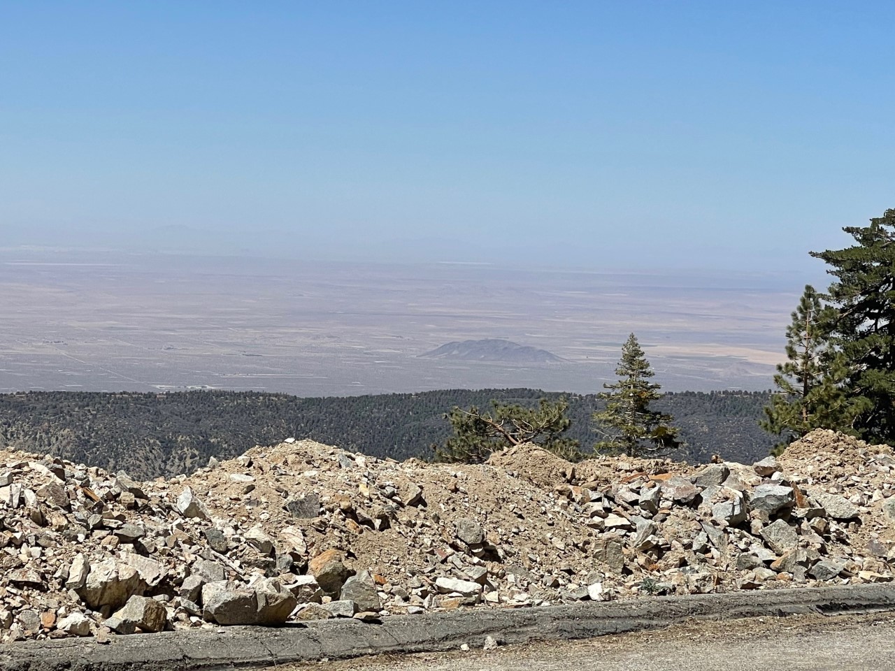
In the distance I could see a rock in the distance just east of Palmdale.
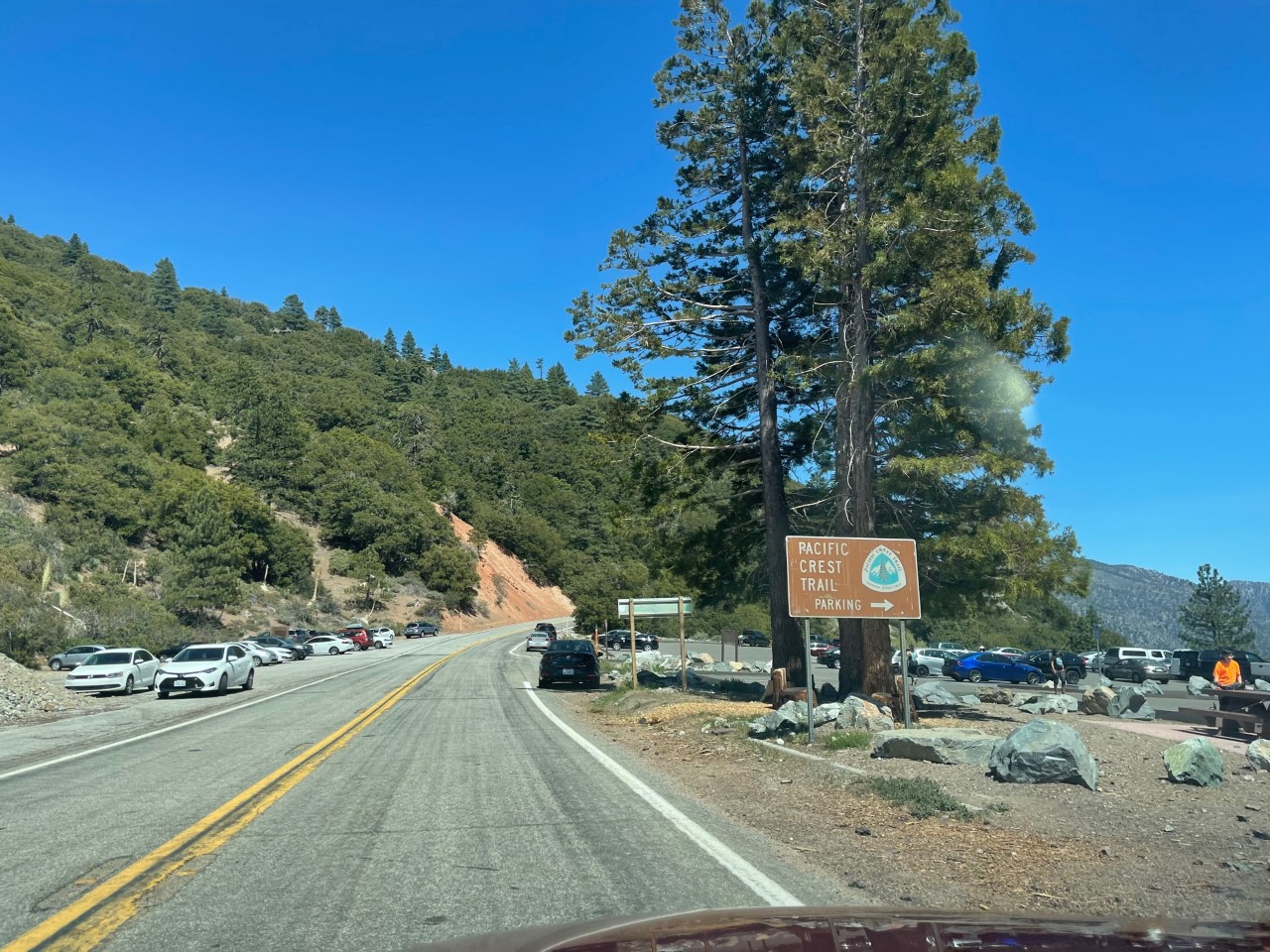
I stopped off at this Pacific Crest Trail (PCT) parking spot to get some photos, which didn’t turn out that great, but I talked to a couple hikers who were hiking PCT for a few days! I don’t know if you guys have ever seen the movie Wild with Reese Witherspoon (Cheryl Strayed’s journey) but I learned so much about the PCT. There are even wood stump spots where you can open them up and write the time, day and message you hiked there.
Just past the parking area, below was also the shot I got when I noticed something smelling not right from a car that drove by…or so I thought….
The last shot below near the Vincent Gulch – and probably my favorite shot of the day – before I realized my right rear brake was smoking, it smelled like burnt charcoal.
Of course, never being that I had never taken my car through a mountain range before, this shocked but also didn’t shock me. I was able to flag down a driver who took me into the town of Wrightwood about 10 minutes east for cell phone reception. To sum it up, I called AAA, who told me my tow truck couldn’t get to my destination for another 3 hours, I thought that was crap, so I had the girl drive me back to my car. By that time, the smoke had subsided, but the smell was still slightly there. I drove it back to Wrightwood and stopped to reassess and the smell was gone and no new smoke had formed.
I was able to get it back safely to Pasadena and later on in the week I had it assessed by the car dealership. I had gotten my brake pads and rotors replaced by in January and it turns out that the back ones still needed to be broken in a lot more! They added some lubricant to the pads and assured me all would be well going forward. But nothing was warped or damaged, thank god, and they didn’t charge me a dime for the services.
When the girl drove me to Wrightwood, I noticed along the way I really had maybe another 4 stops to make and get some more scenic shots, but I was near the end of the highway. The road then takes you out toward the 15 Freeway and then I took the 210 Freeway back home.
Not including stopping for hikes or a picnic, I definitely would give yourself between 4 to 6 hours of driving!
Mt. Baldy Day Trip
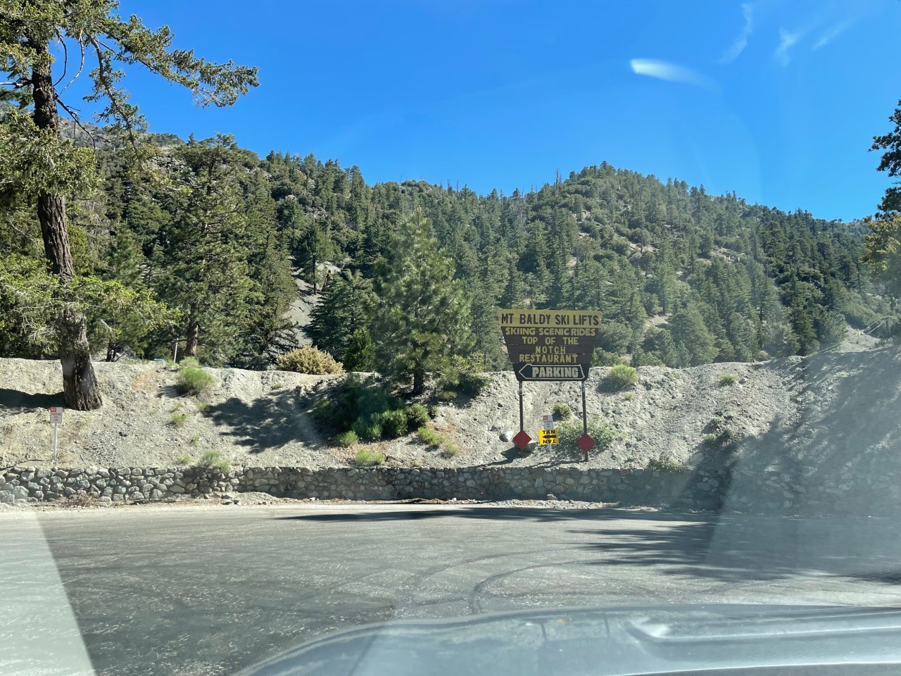
To finish my forest/mountain journey, I decided to go to Mt. Baldy Resort and take the ski lift ride ($20 if you book online) the first weekend of June! Hello summer! 🙂
Because of what had happened to my car back in May, I decided to rent a Mitsubishi Eclipse SUV from Budget ($80) at the Ontario Airport for a day and park my car at the airpot parking lot ($20). My car will stay a city driving car until the day I trade it in!
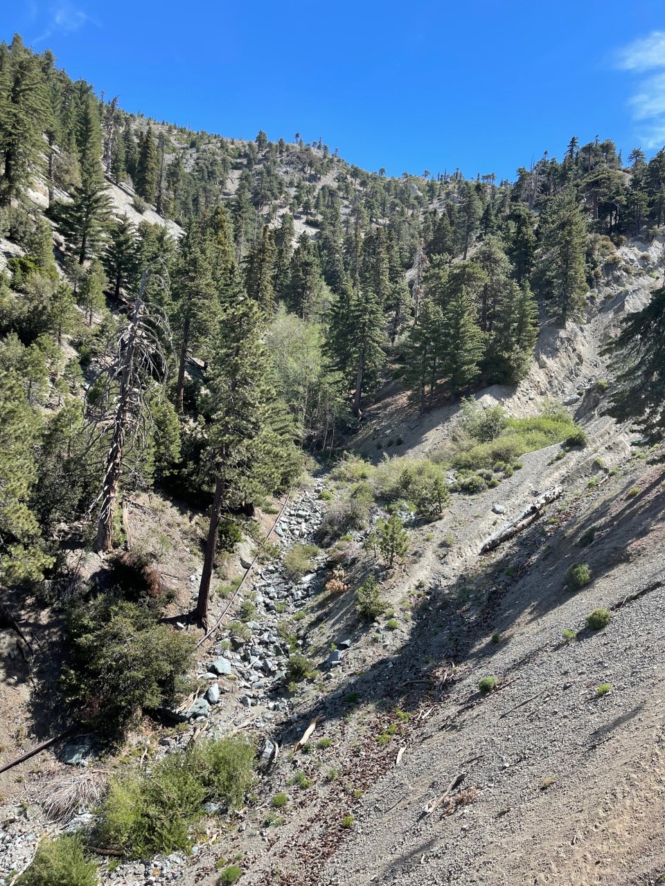
From the airport to the ski lift it took me about 45 minutes. The shots below are at the base of Mt. Baldy Road (the mountain and resort run north/south).
Next I had to go through two tunnels and then I stopped to grab these two scenic shots. You can check out the video of me driving through the tunnels on my Instagram page!
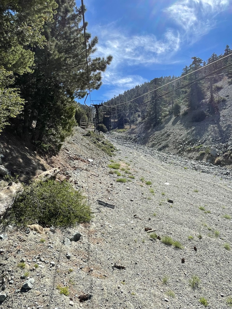
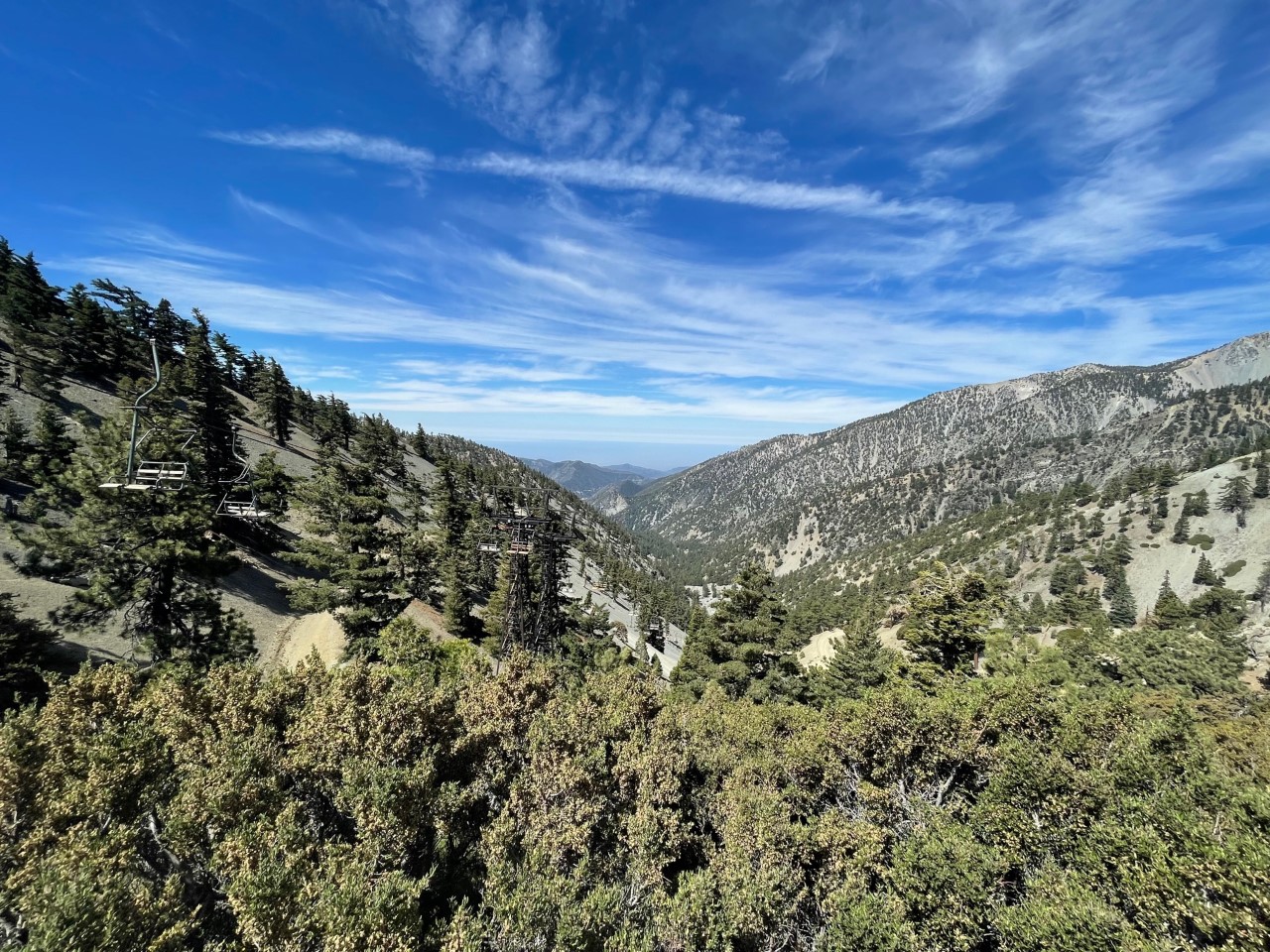
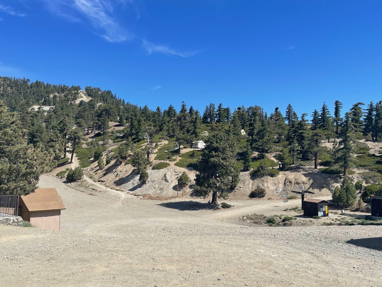
About 10 minutes later, I arrived at the ski lift site.
I had to check in and receive a pass to go on my roundtrip on the lift. The trip takes about 15 minutes both ways. I saw a lot of hikers on the trails and heard a lot of birds from up above! Of course, I also took video being on the ski lift and as always, check them out on my Instagram page!
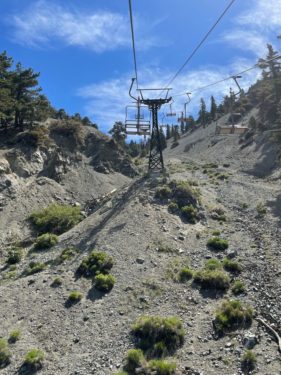
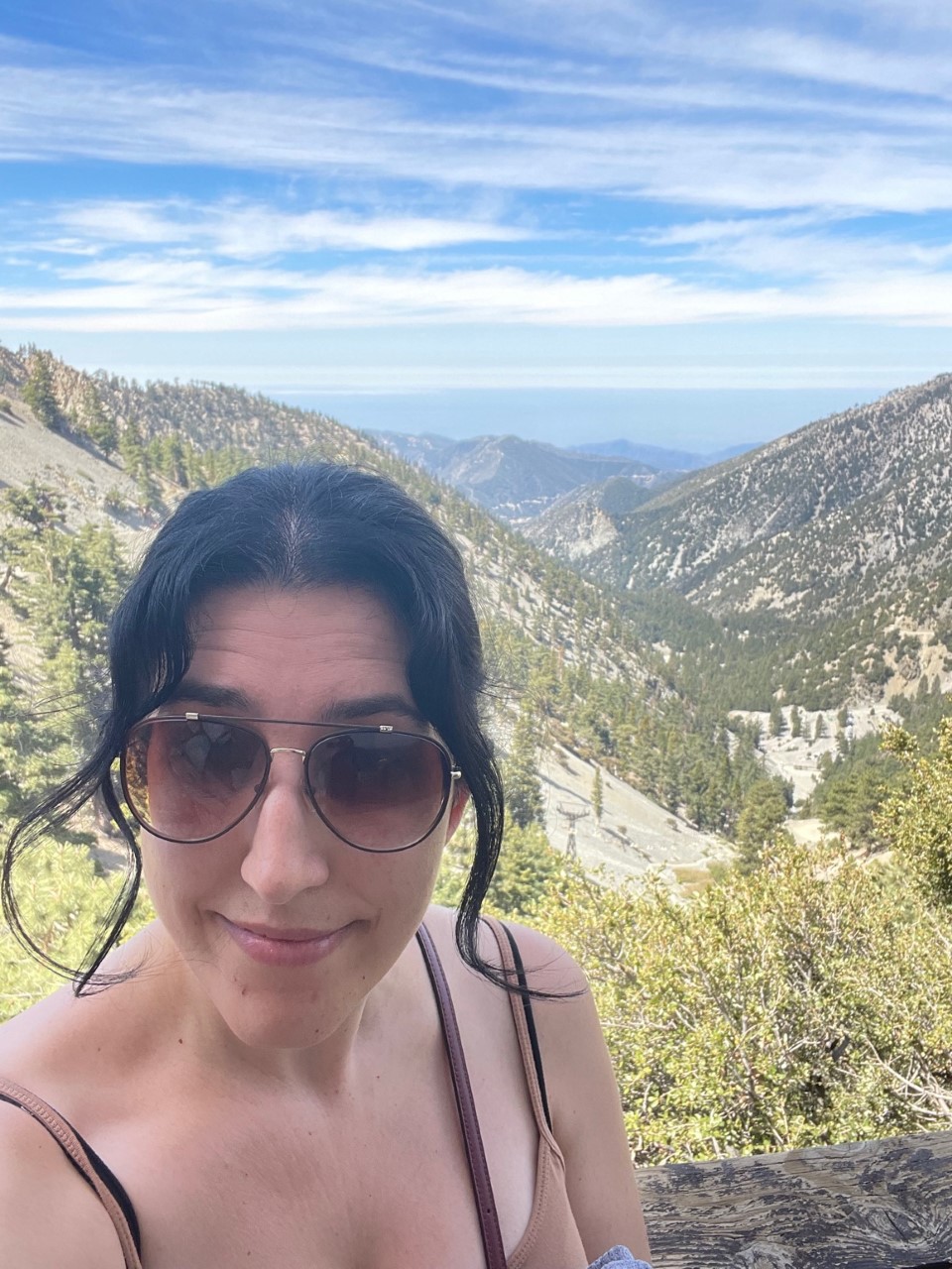
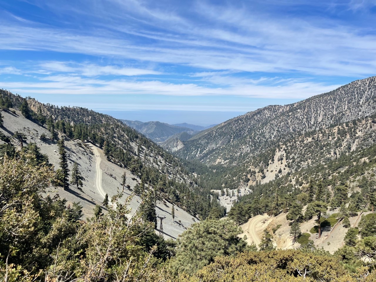
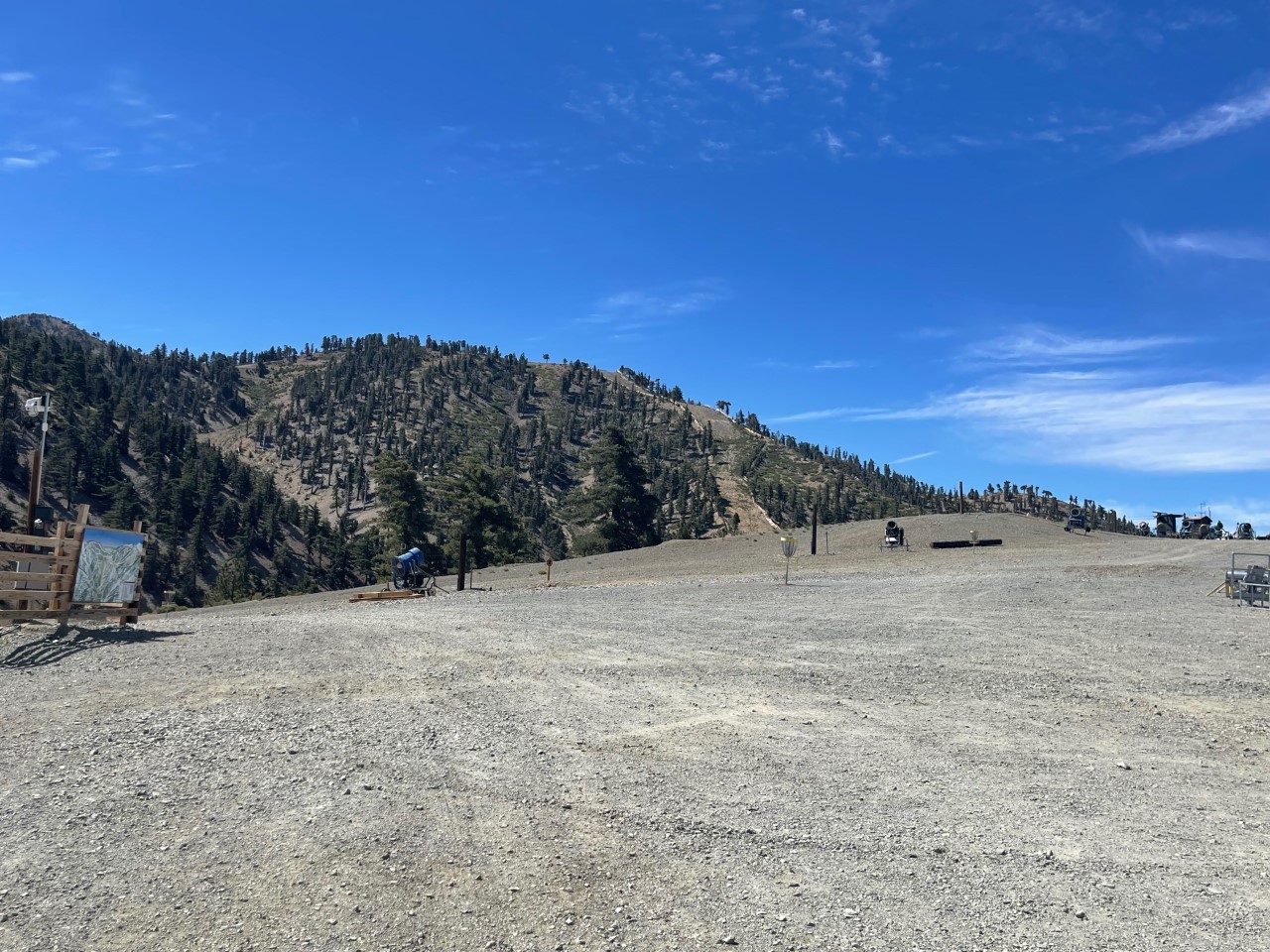
Once I got to the top (the elevation is 10,066 feet), I sat on the benches to relax and take in the scenery for about 30 minutes. The top of Mt. Baldy also has a place to zip line, play disc golf and a cabin to purchase merchandise and food.
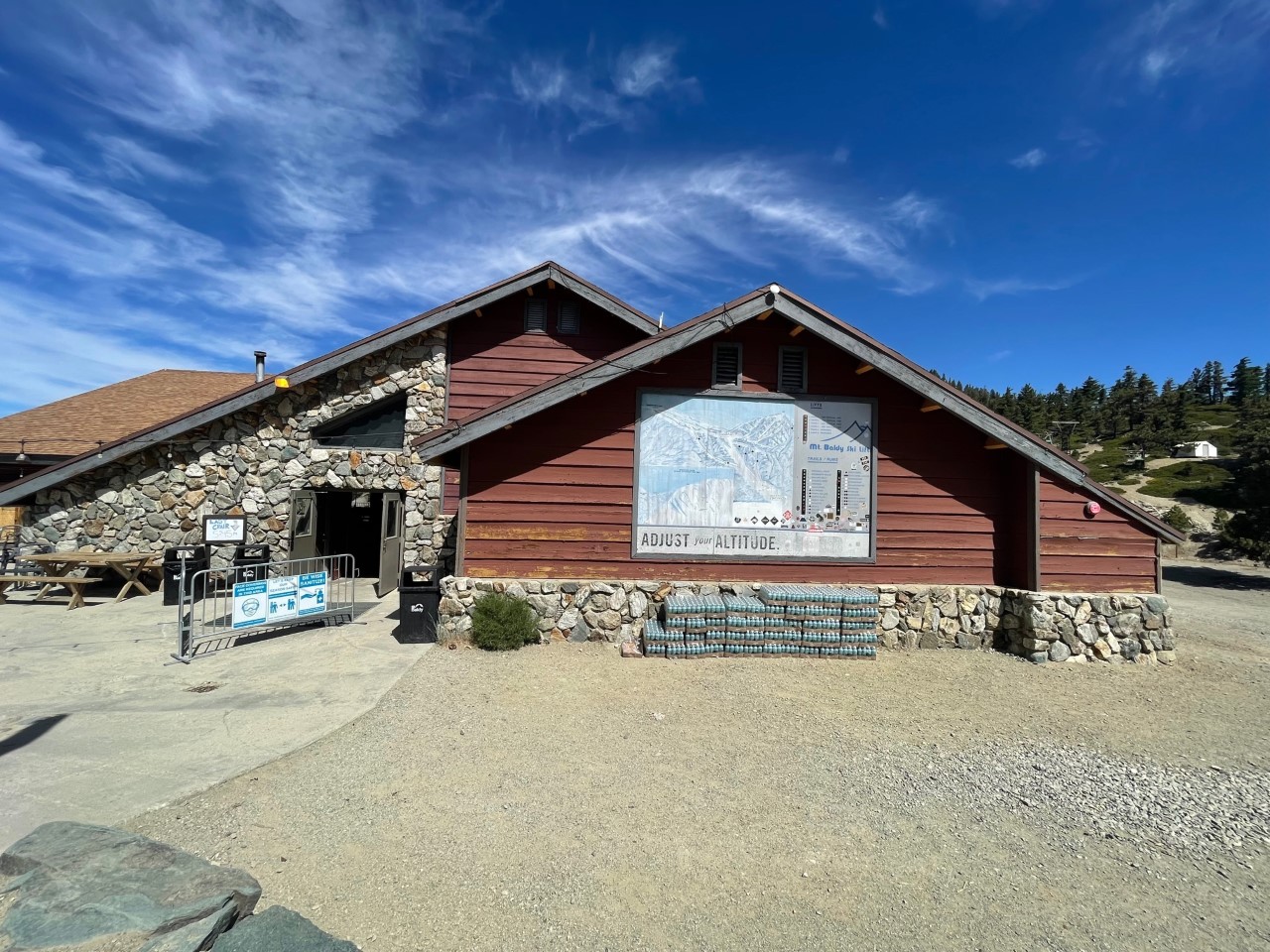
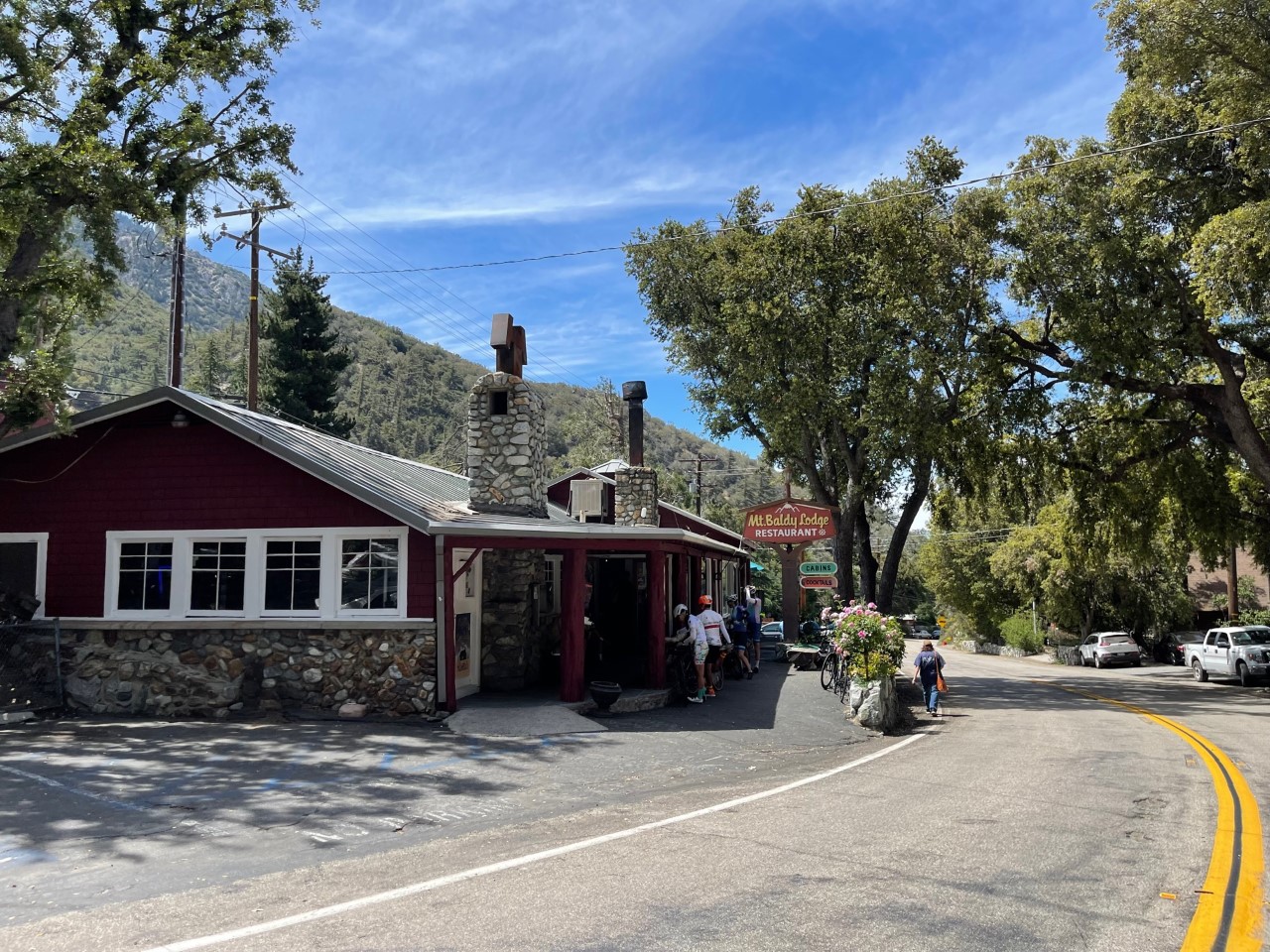
For those who are interested, Mt. Baldy Lodge Restaurant and the Visitor’s Center are also in the main part of town. I didn’t stop at these but if you do, let me know how it is!
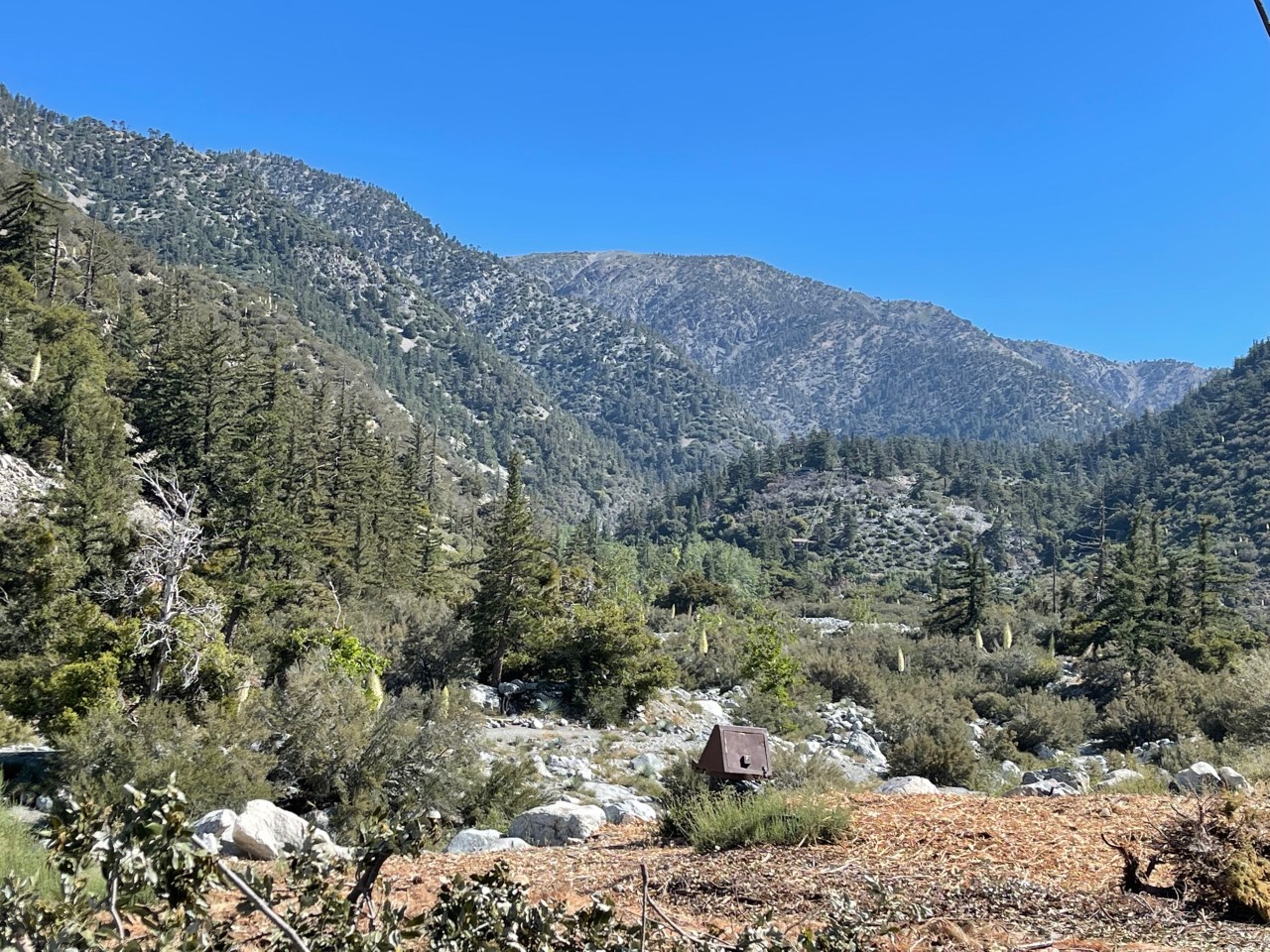
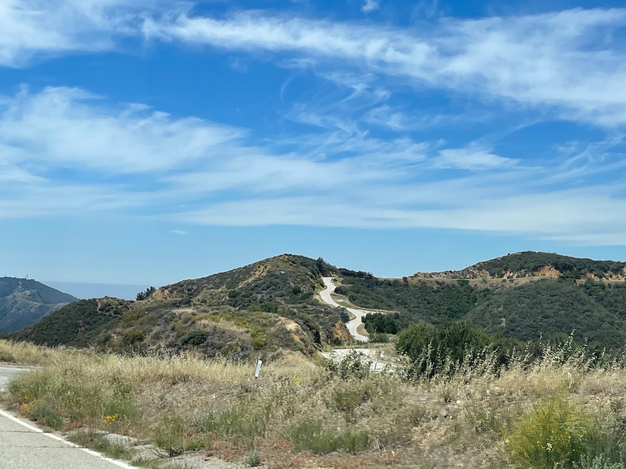
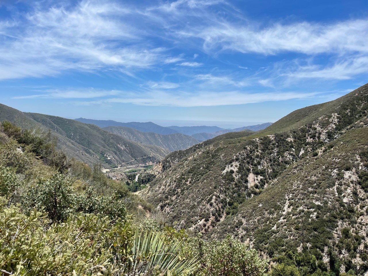
Back on the ground, I made my way over to Glendora Mountain Road (east/west) to do some more scenic mountain driving. It’s about 12 miles to get to the East Fork Road if you are ever interested in driving it. It is very windy but I loved looking at the different scenery.
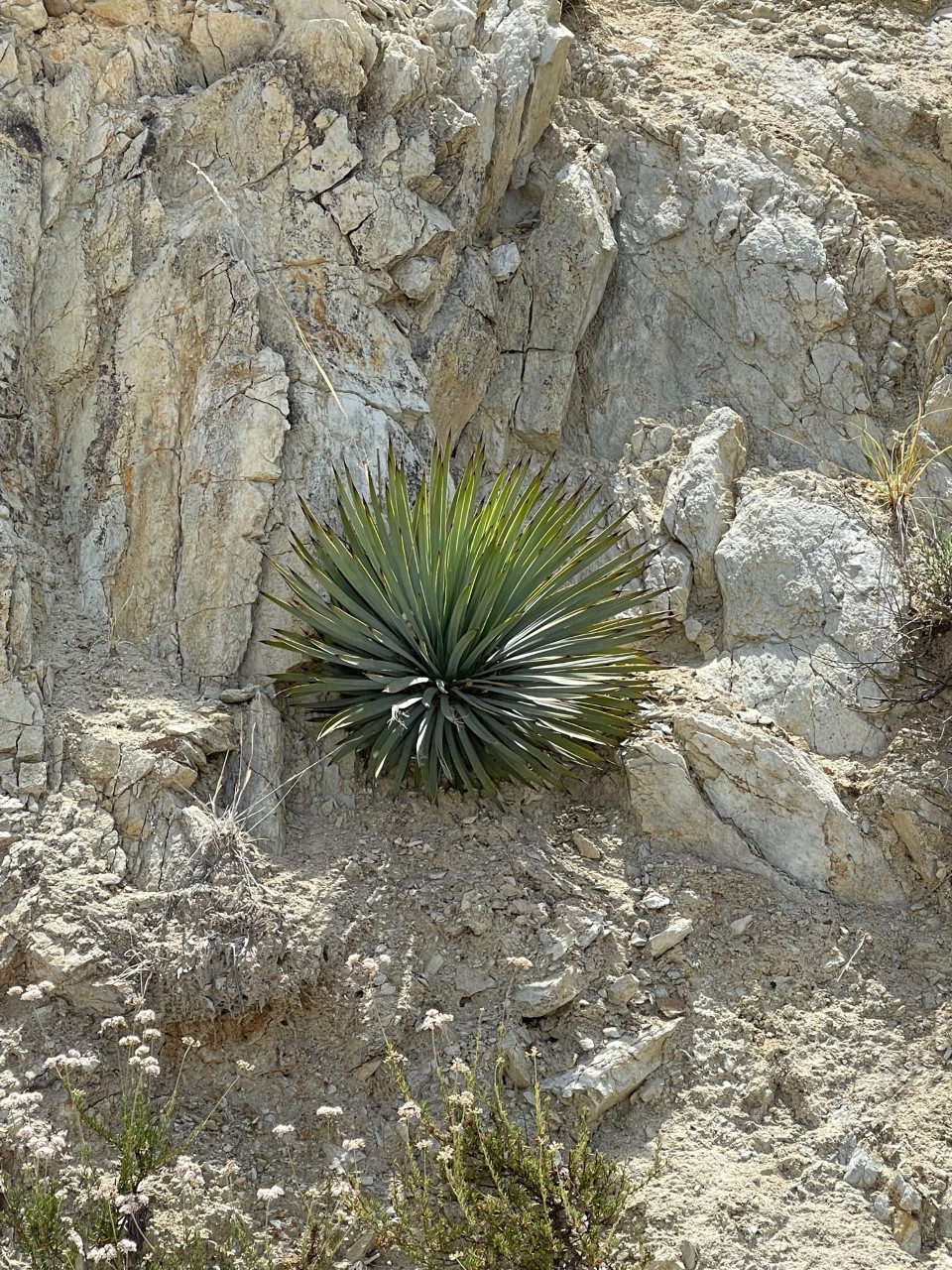
The shot below is of a succulent that I saw a lot of on this side of the mountains. I don’t know the proper name, so if anyone knows, I will add it to this blog post!
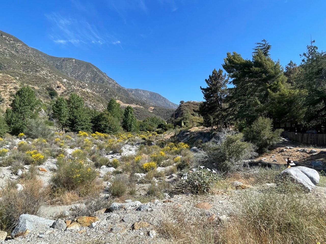
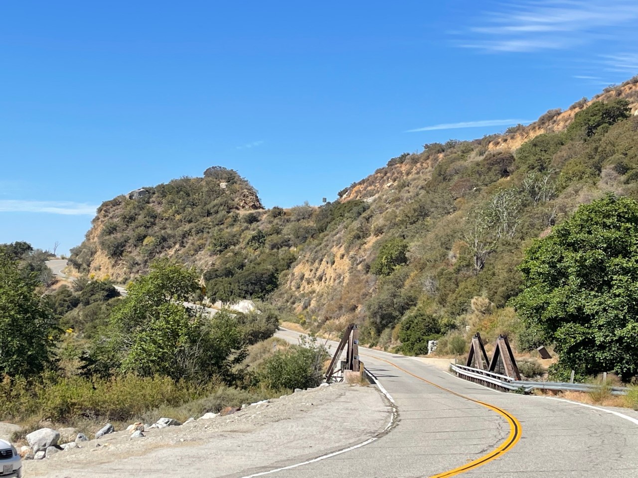
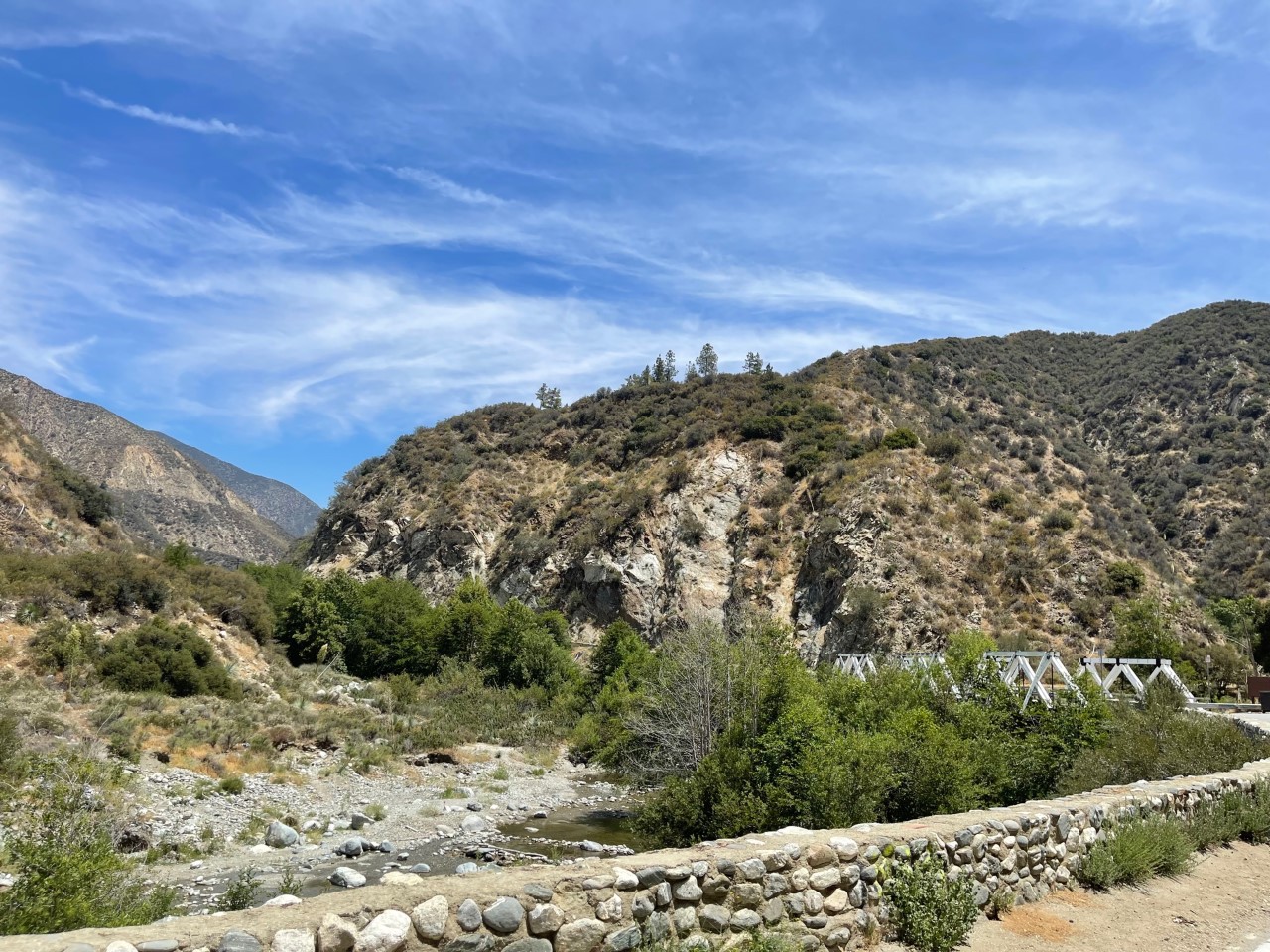
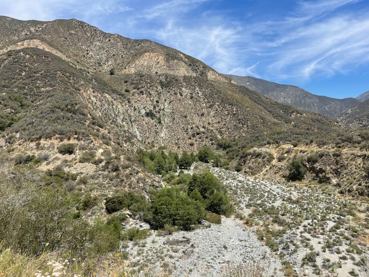
Off of East Fork Road, I stopped and snapped some photos of the bridge and creek with running water below. It’s around this same area that there is a well known hike called the Bridge to Nowhere, which is 9 1/2 miles and I read it can get treacherous. If you have ever done this hike, is this accurate?
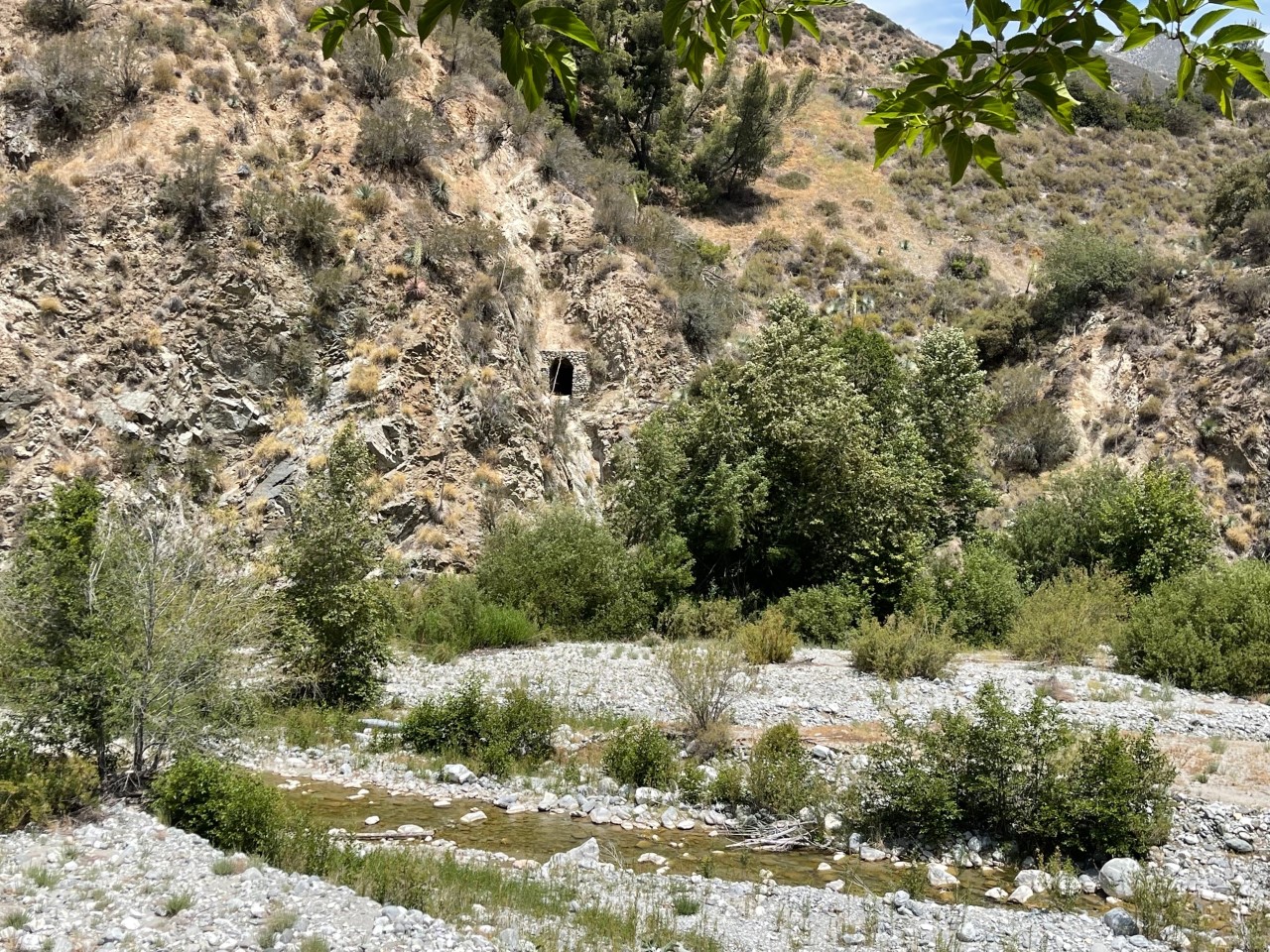
Next I headed west on Fork Road and I have no idea what this is called but it was so cute! It’s a little open cave or doorway that leads to something, anyone know what it is?
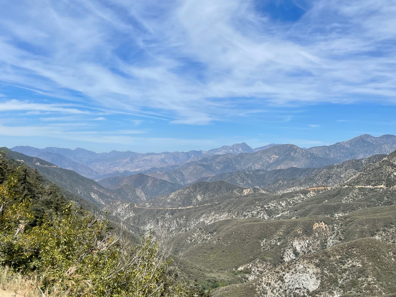
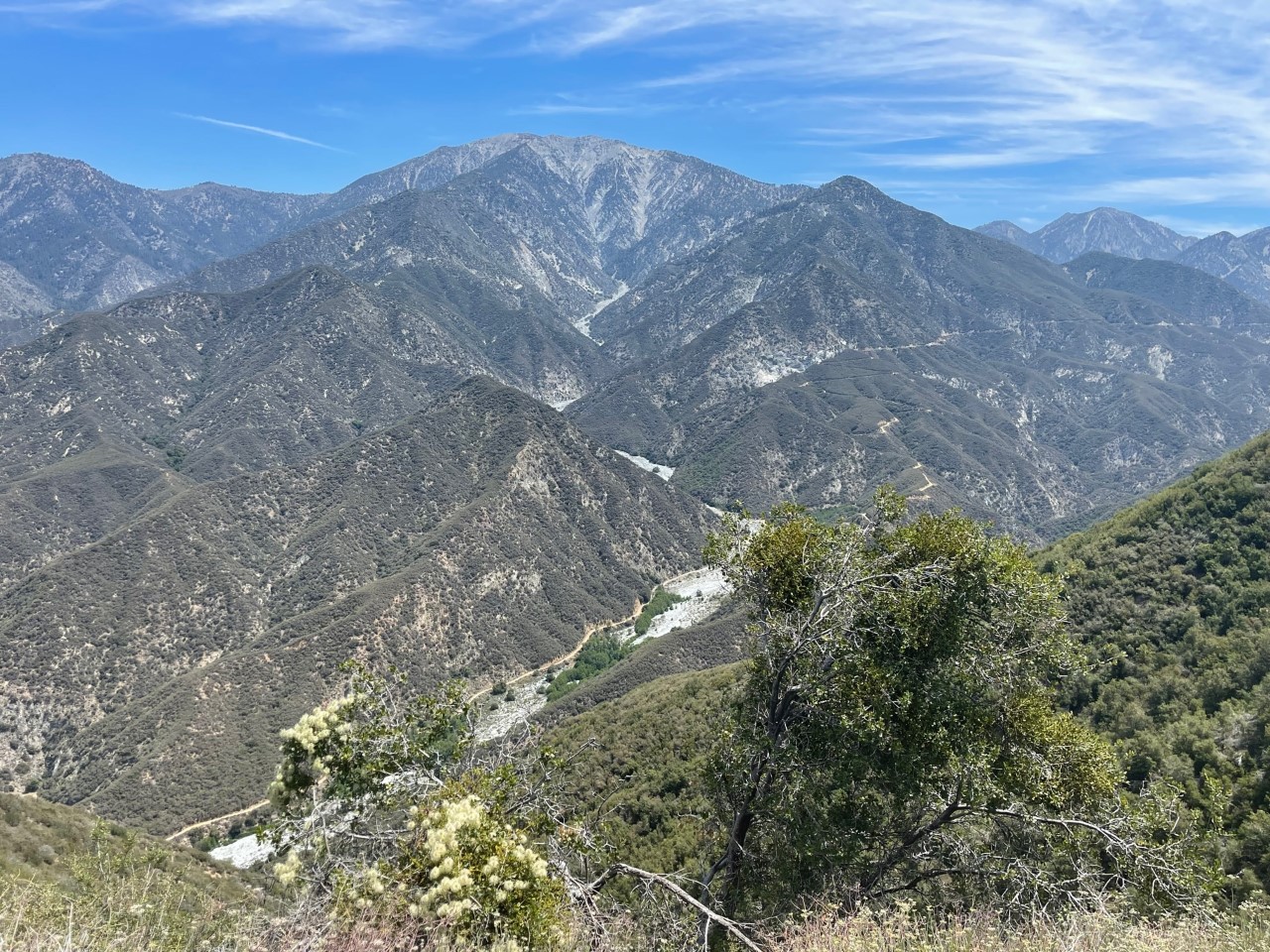
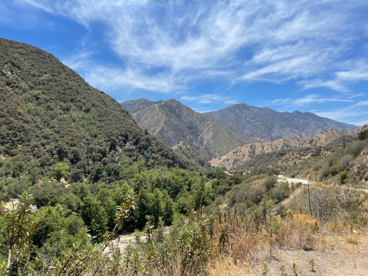
Once I got to Highway 39, I headed north because I wanted to check out this spot called Crystal Lake, which is a campsite with a lake (obviously), cafe and a small amphitheater. You guys, I was not impressed, LOL! Plus, you had to hike a long ways to the lake and amphitheater and I didn’t have the right shoes on. I didn’t take any photos of this area and even the cafe was somewhat dull to me. I did, however, manage to snap these scenic photos on the way heading south on Highway 39 back towards Los Angeles!
I forgot to mention this: if you head north, Highway 39 runs right back into the Angeles Crest Highway. I couldn’t take it that day I drove in May because a small section of Highway 39 is still shut down (I think from the fires last year?).
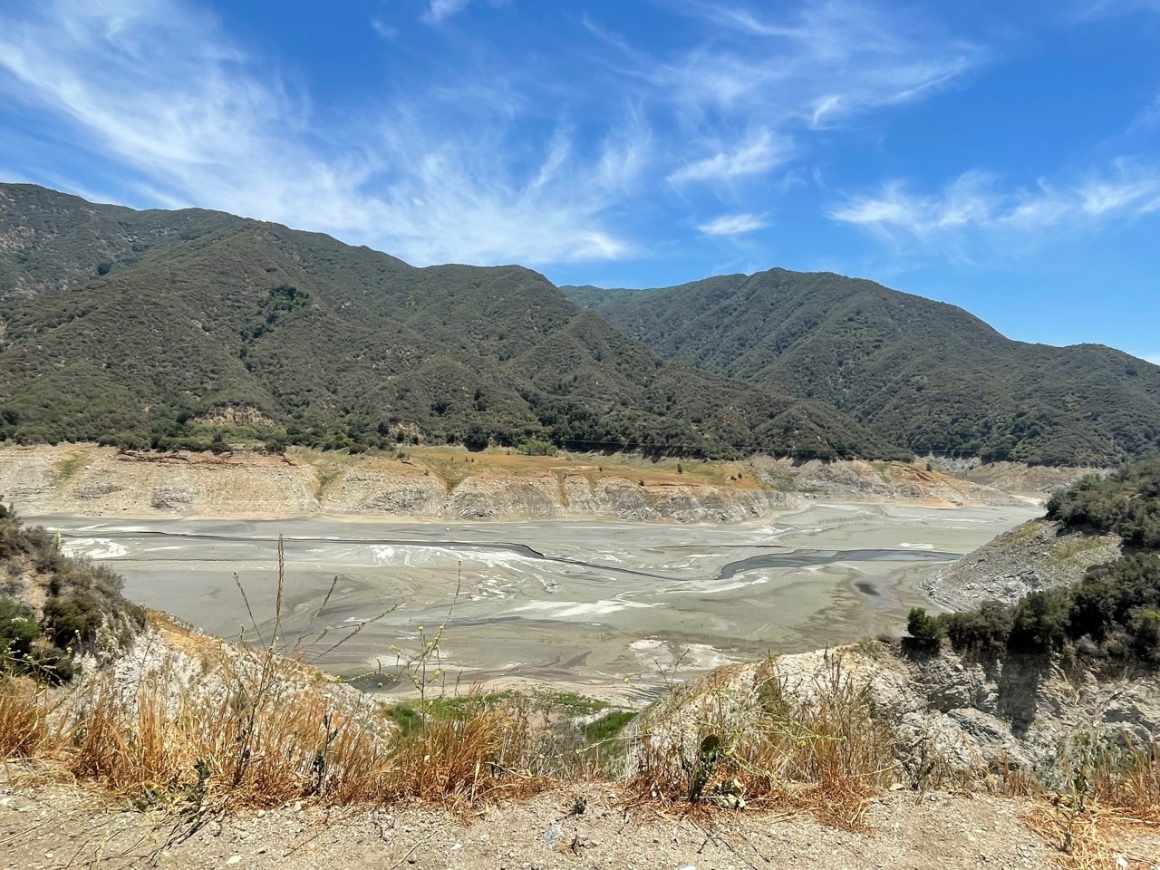
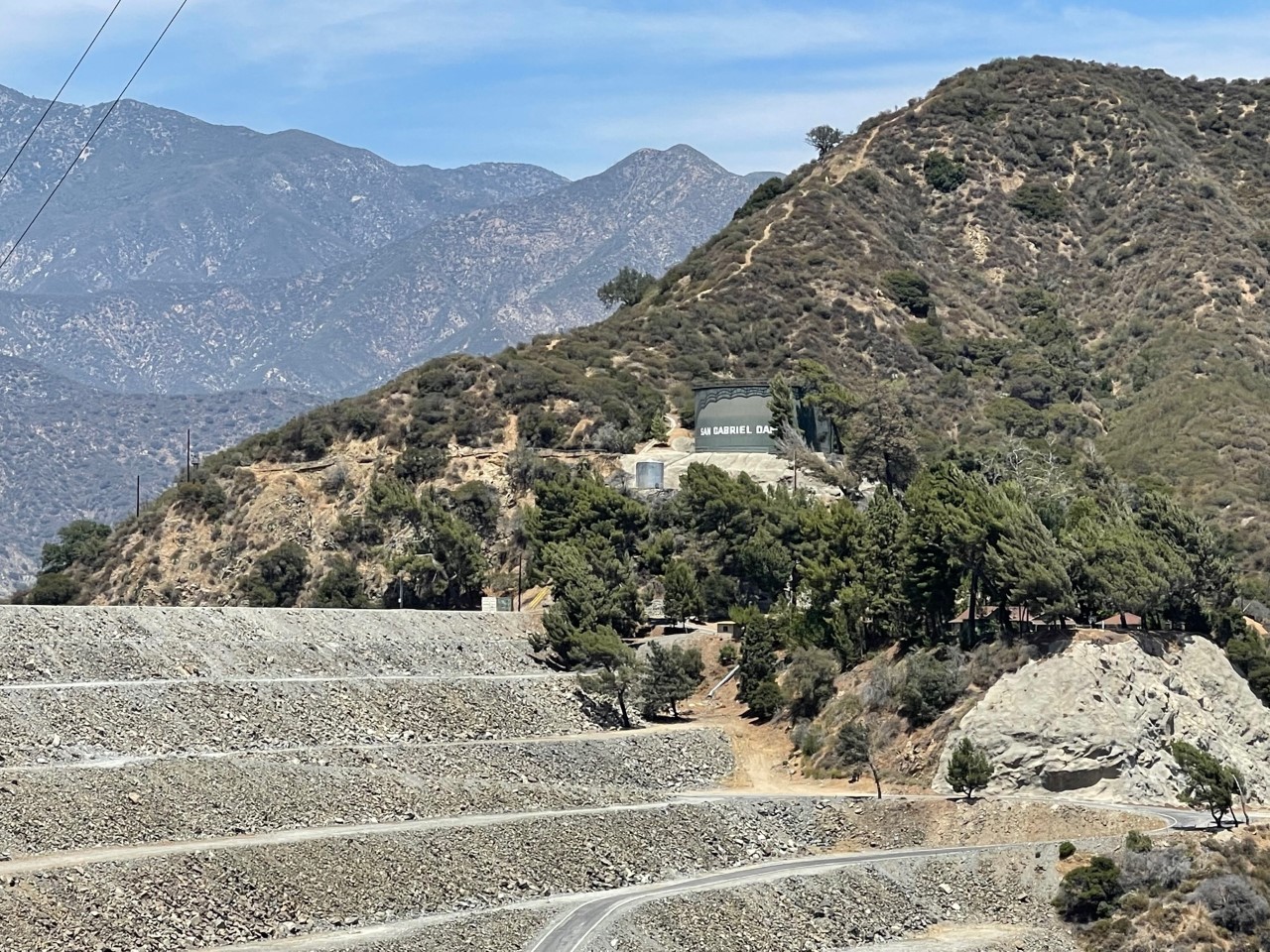
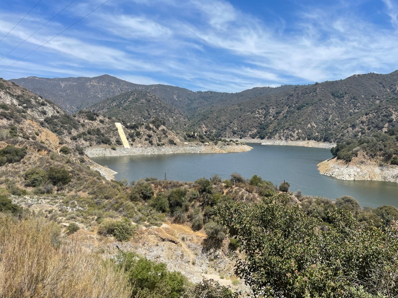
The last two stops were both reservoirs. The first was the San Gabriel Reservoir/Dam, which was built in 1939 and holds about 2 1/2 miles of the San Gabriel River, according to Wikipedia. As you can see from the photos below, it is dry from the lack of rain over the last 2 years. I believe it could’ve been full back in 2018 or 2019, but again, nada. It’s so sad! 🙁
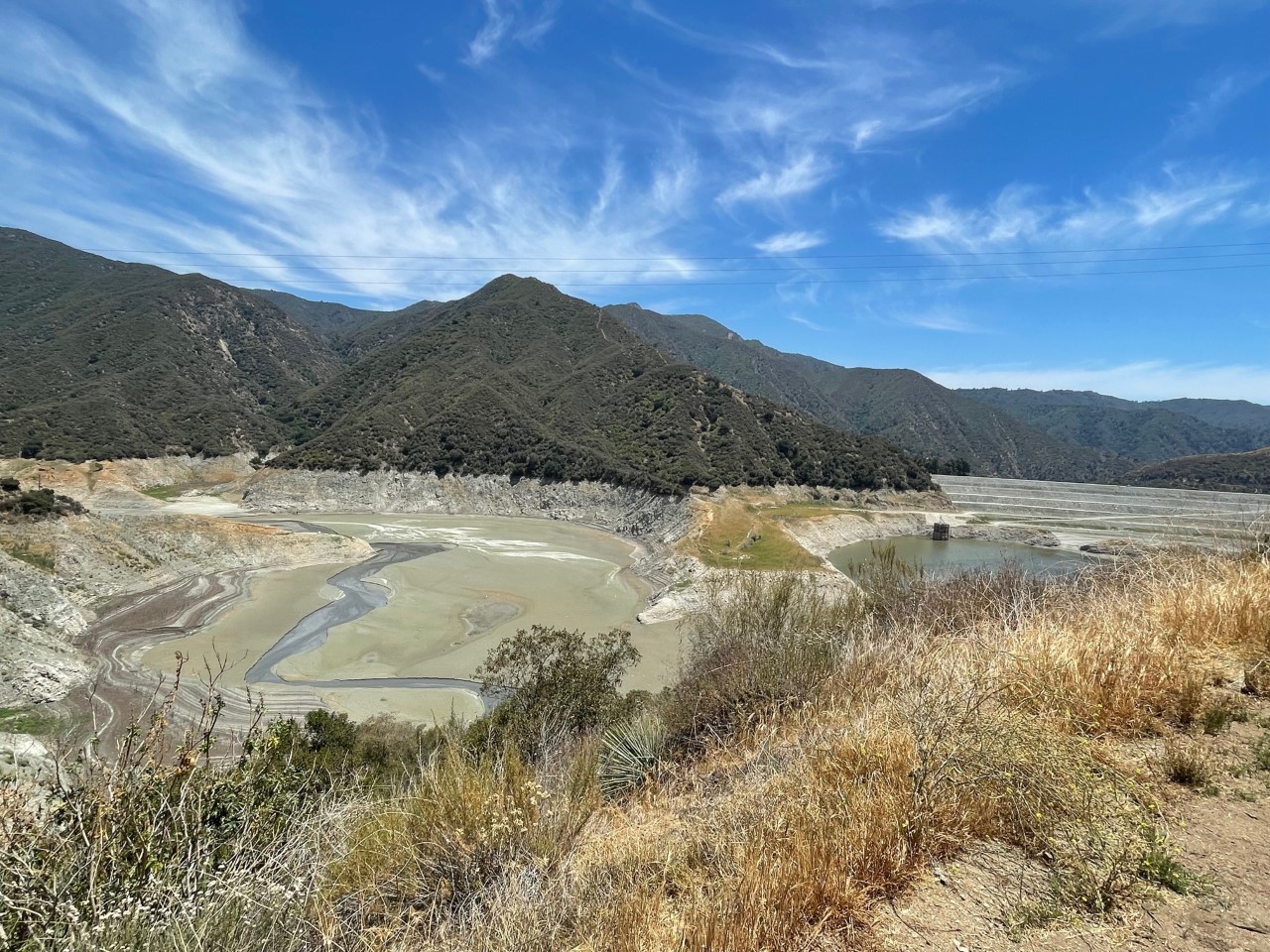
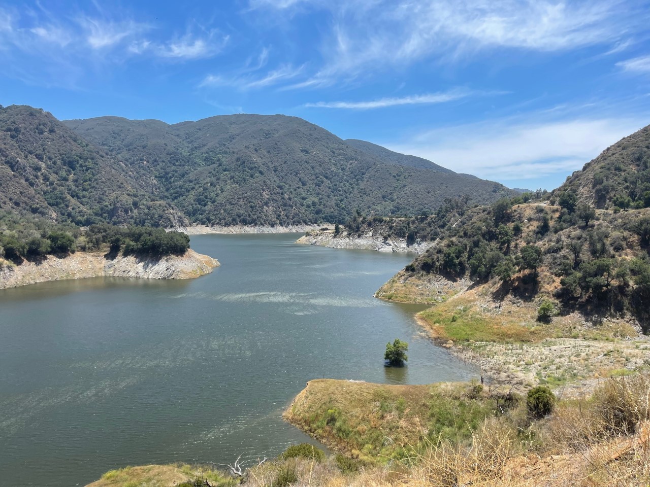
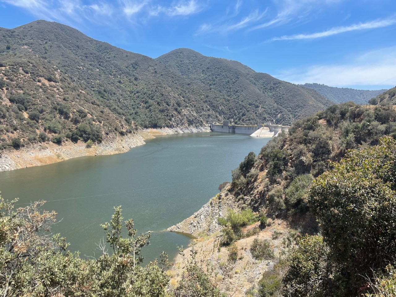
The final reservoir that was amazingly full was the Morris Reservoir/Dam, which was also built in the 1930s, is 417 acres and holds the downstream of the San Gabriel Reservoir/Dam.
I hope you guys enjoyed my adventure! There are so many pretty, scenic and nature-like photos to take if you ever do this drive. I would give yourself a full weekend if you plan on doing this. 🙂