Hi guys! Ready to hop on a plane for my next adventure? 😉
So for a long Columbus Day/Indigenous People’s Weekend, after all these years, I finally headed toward two national parks that I have been dying to see: Yellowstone and Grand Teton!
I decided to go in October because I wanted to see the fall foliage and also because Yellowstone is the oldest and one of the most popular national parks in the U.S. I also didn’t want to be stuck in too much traffic since I was going to be driving. I am so thankful I went in the fall because I have been wanting very badly to see color and to be in colder weather from the hot, dry weather we have been having in LA!
Expenses
You’re probably wondering how much this trip costed, especially with all of the jacked up prices with airlines trying to recoup from COVID-19 financial losses and rental car places barely having any inventory. I booked this trip in early August because I knew the competition of going would be fierce (it took me many hours to plan this trip):
Flight from LAX to Bozeman, MT on United: $156.80. This was the best deal I could find and also a direct flight from LA. I looked into landing and staying around the Jackson Hole or Idaho Falls areas, but I would have had to of taken a connecting flight, plus the flights from between $300 – $450 to fly into those airports! It was ridiculous!
Rental SUV from Budget for 5 days: $471.81. This is actually a steal considering how low inventory is at most rental car places these days! When I looked at Jackson Hole or Idaho Falls, the prices were between $500 – $750! Again, if you want to visit these two parks, I suggest Bozeman, MT all the way!
Airbnb in Big Sky, MT for 4 nights: $407.40. This price was very affordable. The rentals and hotels are super expensive no matter which area you look at and at $81/night, this was a steal!
Grand total in travel expenses: $1,036.01
Weather Alerts
Something I learned before my trip is the ever changing weather in the parks. Two weeks before I left, the weather.com said it was going to be partly or mostly cloud. Then it changed to 40% – 50% rain/snow/ice depending on the day and hour (yup, hour, that’s how fast it kept changing) for a week. Two days before I flew out, my worst day was Friday (it ended up being Saturday instead), which went from a 40% chance of rain to 90% chance with snow overnight between 1 to 3 inches. It’s not that I don’t know how to drive in it well because I grew up in the Midwest, but this was going to be mountain climbing in some spots.
One week to leaving, I joined a Yellowstone Facebook Group to get advice about this crazy weather. Everyone advised me that had visited in previous fall seasons just because it said a high chance of rain doesn’t mean it is all over the park and that driving was still doable. I also signed up for Yellowstone up-to-date road alerts on my iPhone by texting “82190” to 888-777 just in case.
Also before I flew back to LA, a Winter Storm Warning was issued for Central Montana and parts of Wyoming. Even though I grew up in Minneapolis, MN and was used to driving in snow, the difference was that Minneapolis is flat while Montana and Wyoming are in the mountains, like I had previously mentioned. It was now estimated to be 8 to 18 inches in the mountains and 3 to 6 inches in the meadows (they call them meadows here, whereas in LA it’s the mainland). Luckily, I got out okay and had no problems driving!
Off Season
I had no clue what an “Off Season” was until I went on this trip. Off season means certain months of the year where foot and car traffic is low. So for the fall, it is considered October to early December. Then the snow/ski season begins.
Off Season also means limited restaurants are open, something I ran into frequently on my trip as you read on. Be prepared to hustle for food! J/K. 😉
Driving in the Parks
I cannot stress enough to drive with caution in both parks due to wildlife roaming the roads. Also, if you see a ton of cars pulled over, chances are there is wildlife in the meadows. Follow the crowd and pull over to get photos!
Friendly, Helpful Tourists
I felt such a sense of community when I visited both of these parks, something I often don’t get living in LA. Everyone is super friendly, willing to talk and help take photos!
If you want to see videos and more photos of my trip (especially the videos, they are not in the blog!), please visit my Instagram page and look at the Highlight sections under Bozeman/Big Sky, Idaho, Grand Teton and Yellowstone.
Also, don’t forget to follow me!
Alright, let’s board a plane! 🙂
Day 1 – Thursday, October 7
Bozeman, MT
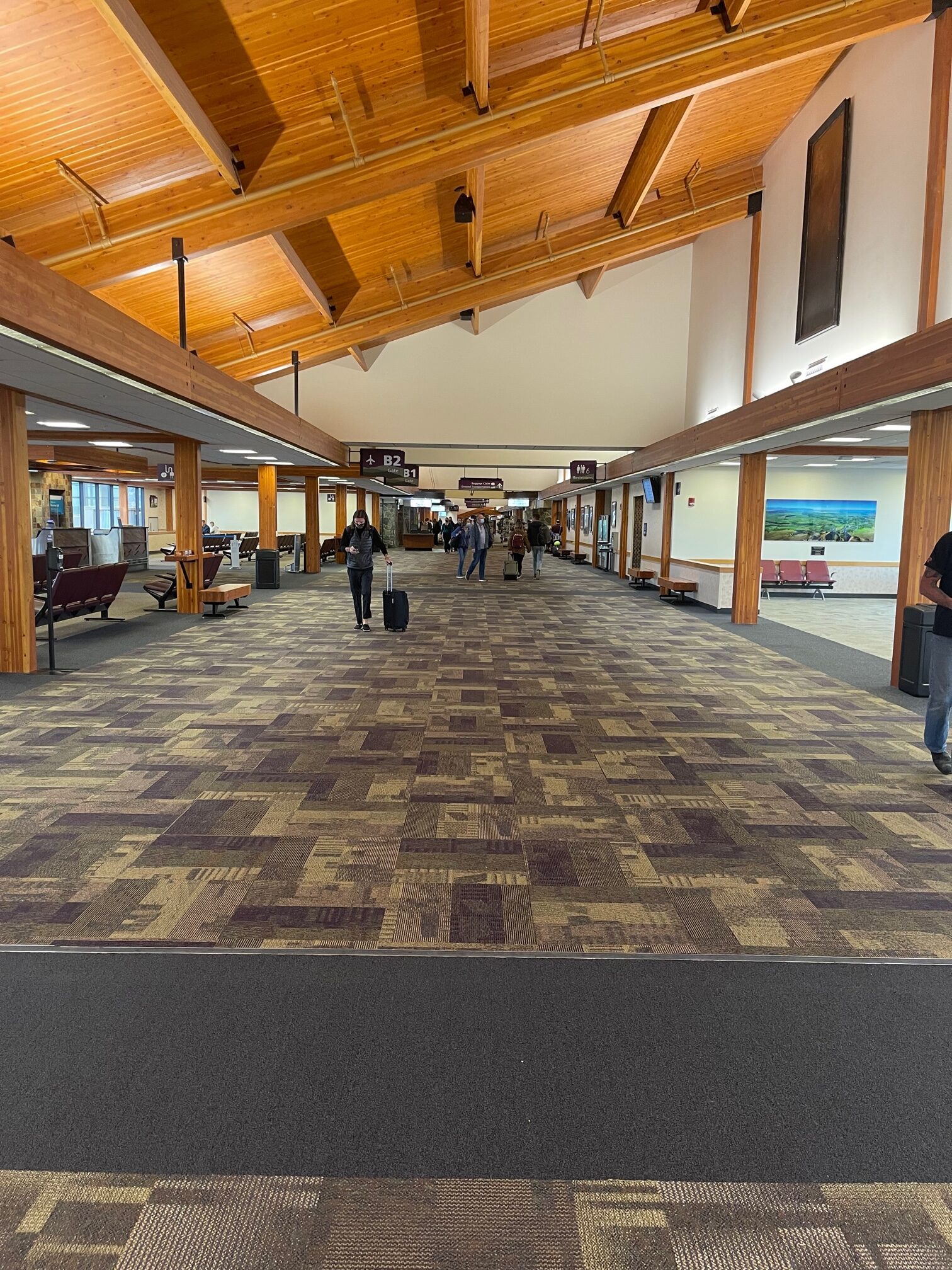
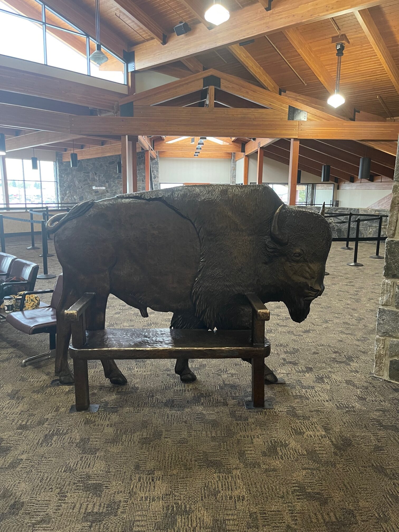
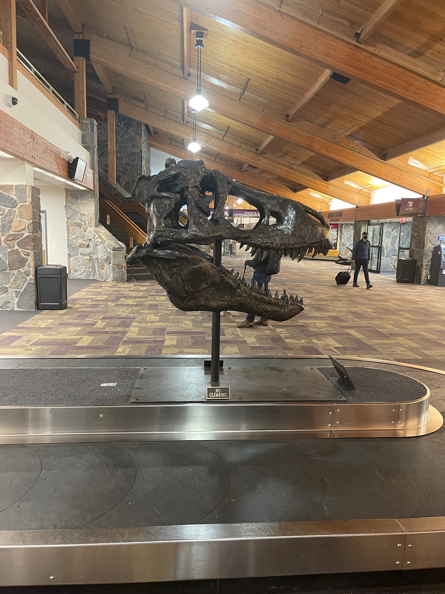
My flight out of was at LAX was at 8:50am and I landed in Bozeman, MT at 12:30pm. It was full on raining when I landed and the airport had a cabin-like feeling to it.
 .
.
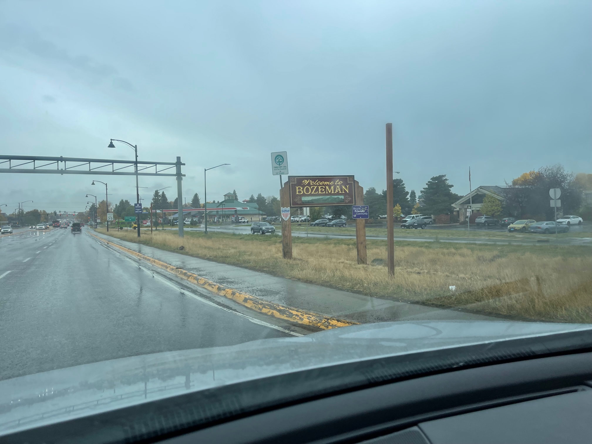
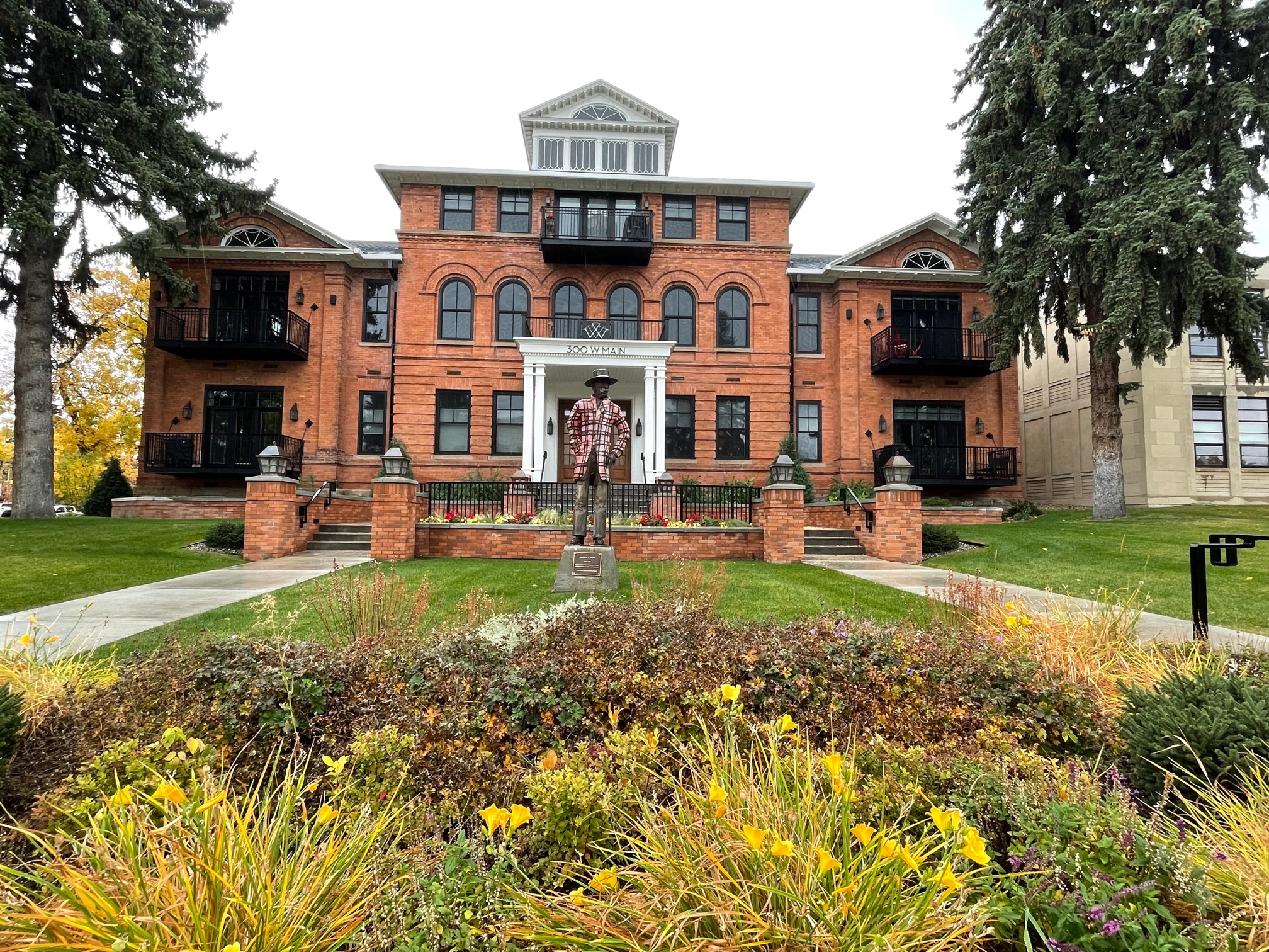
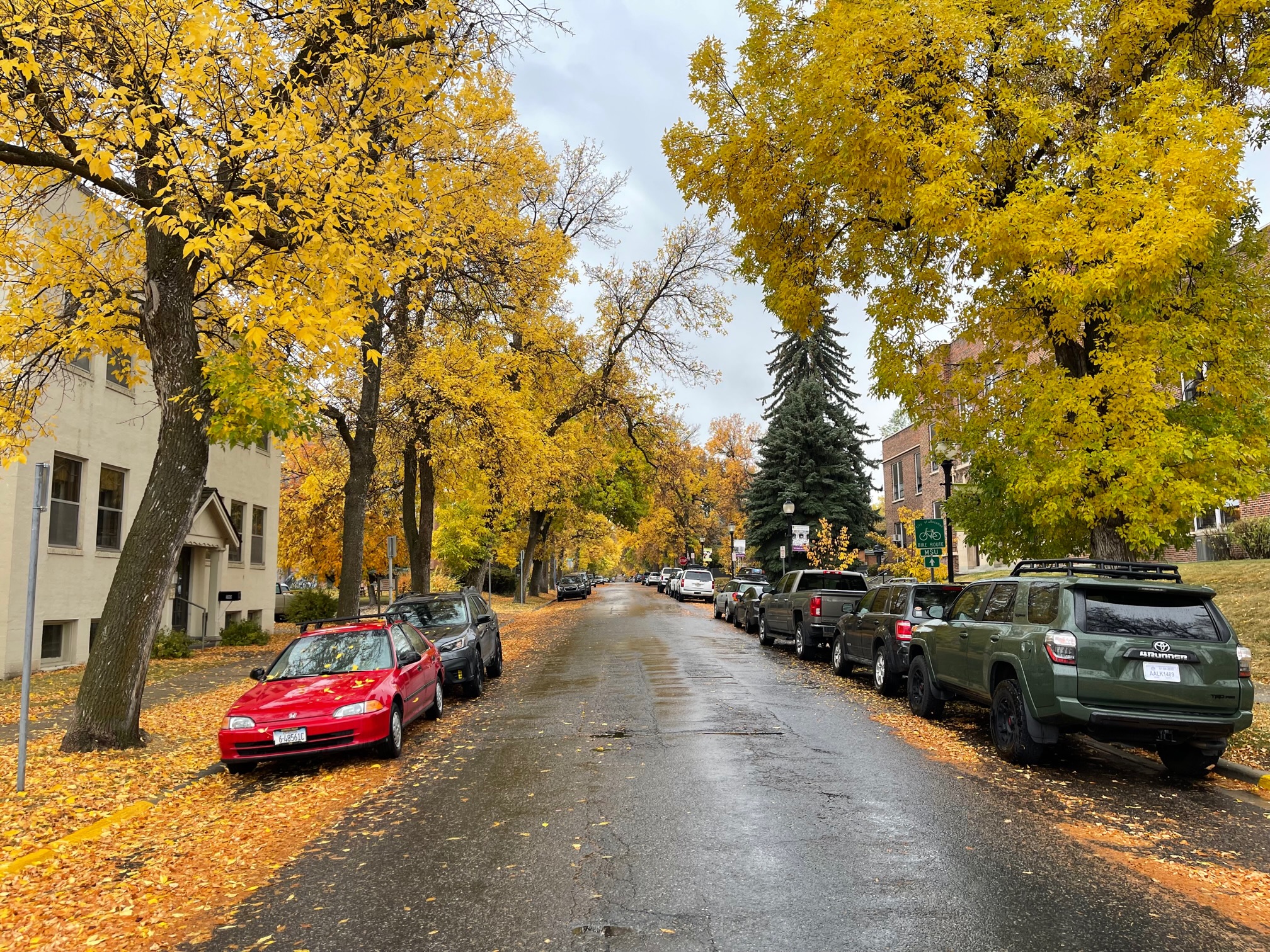
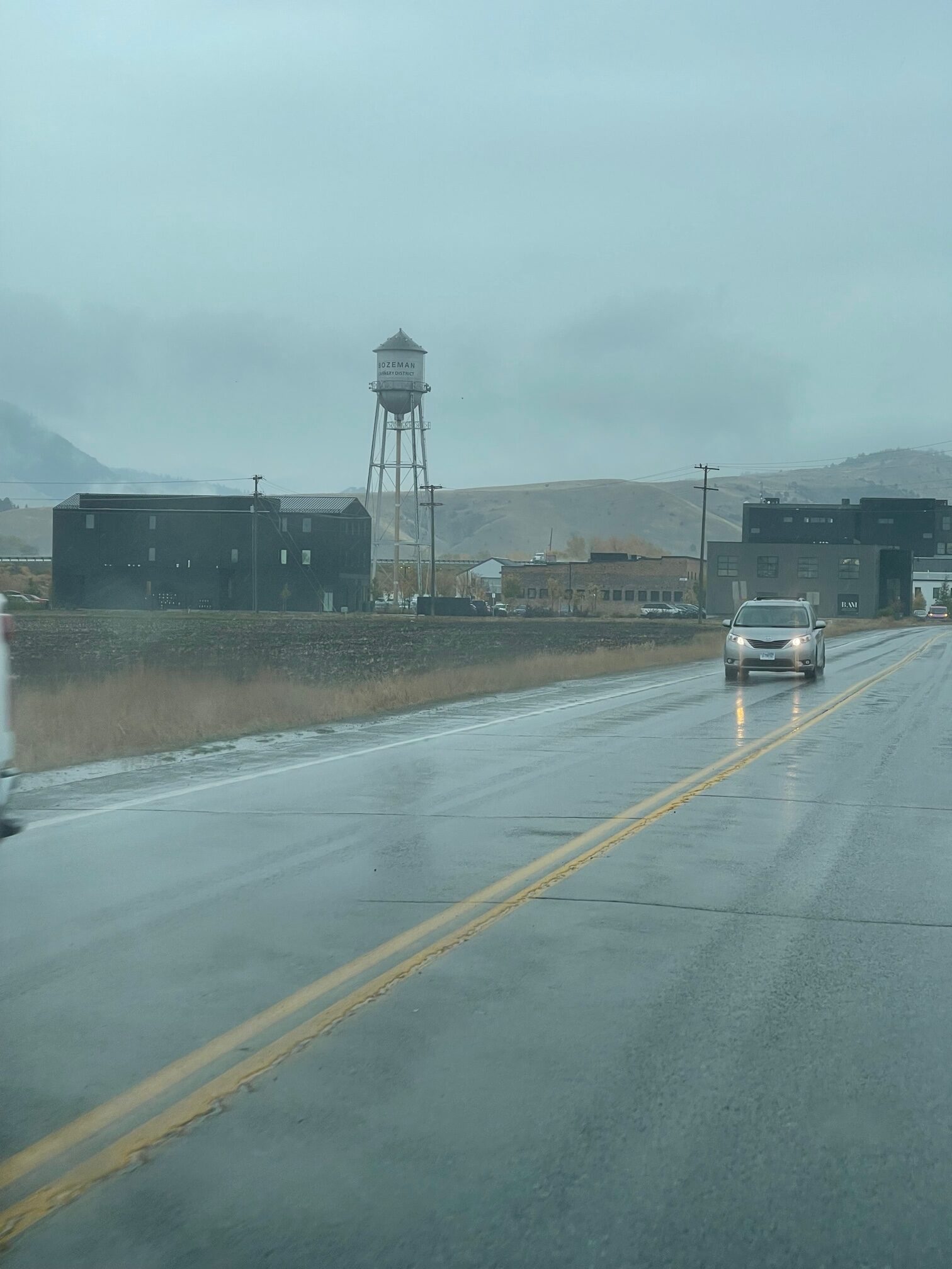
After I picked up my SUV (I had a Kia Sportage BTW), I headed downtown to browse some of the historic shops and take some scenic fall photos. There was also a star dedicated to actor Peter Fonda, who owned a home in the area. I also saw just outside of downtown a really neat mural dedicated to Bozeman, MT.
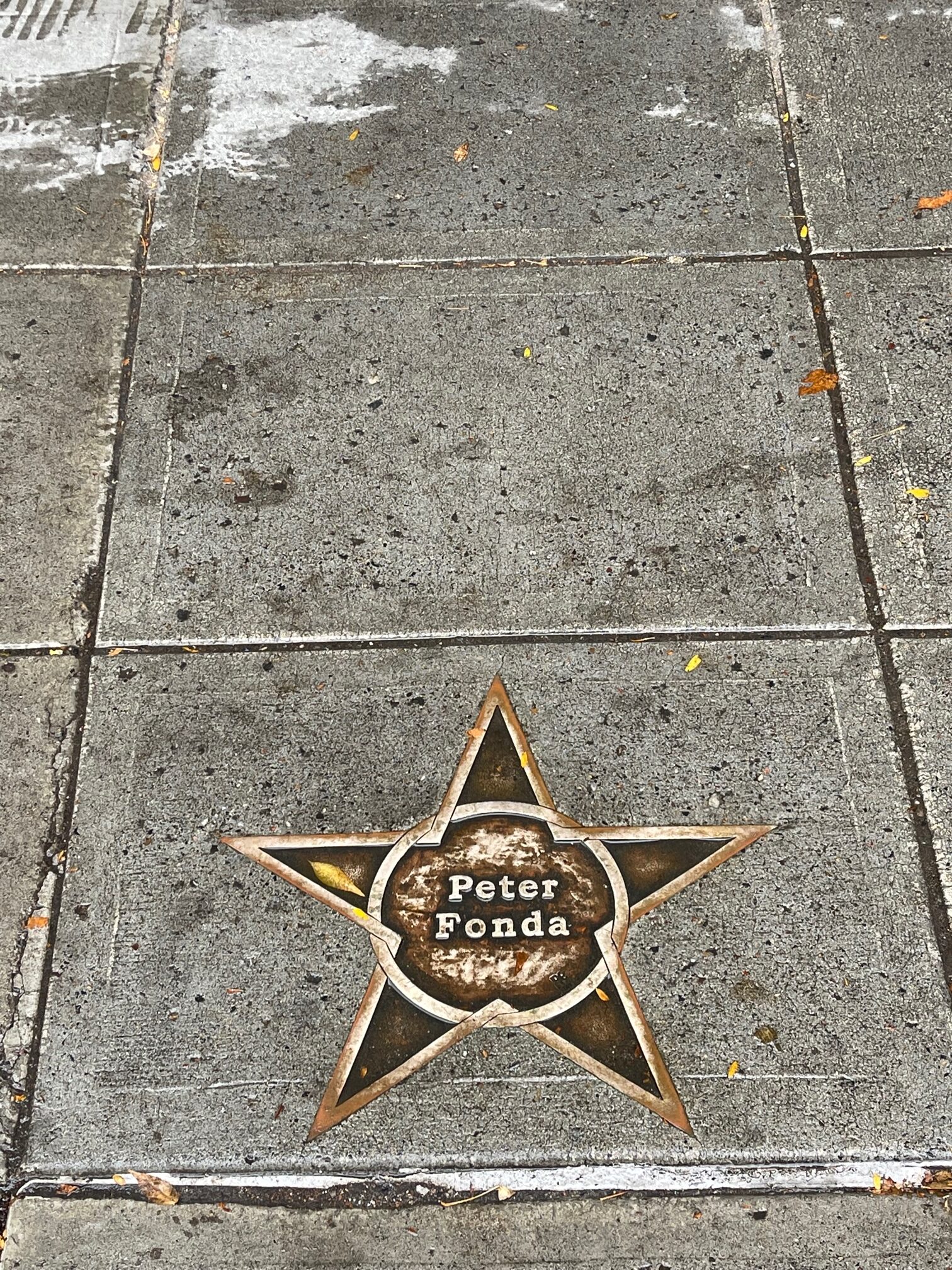
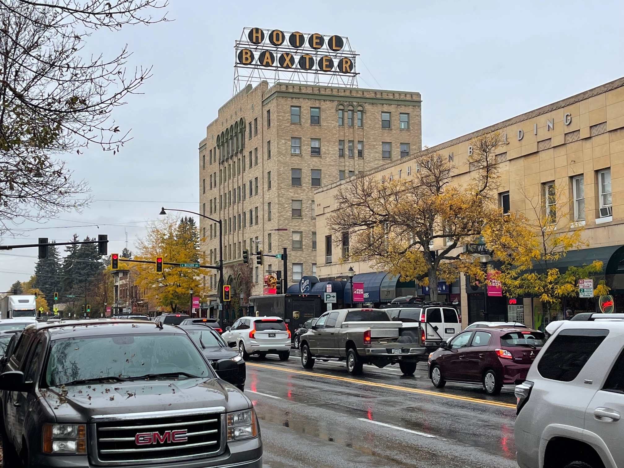
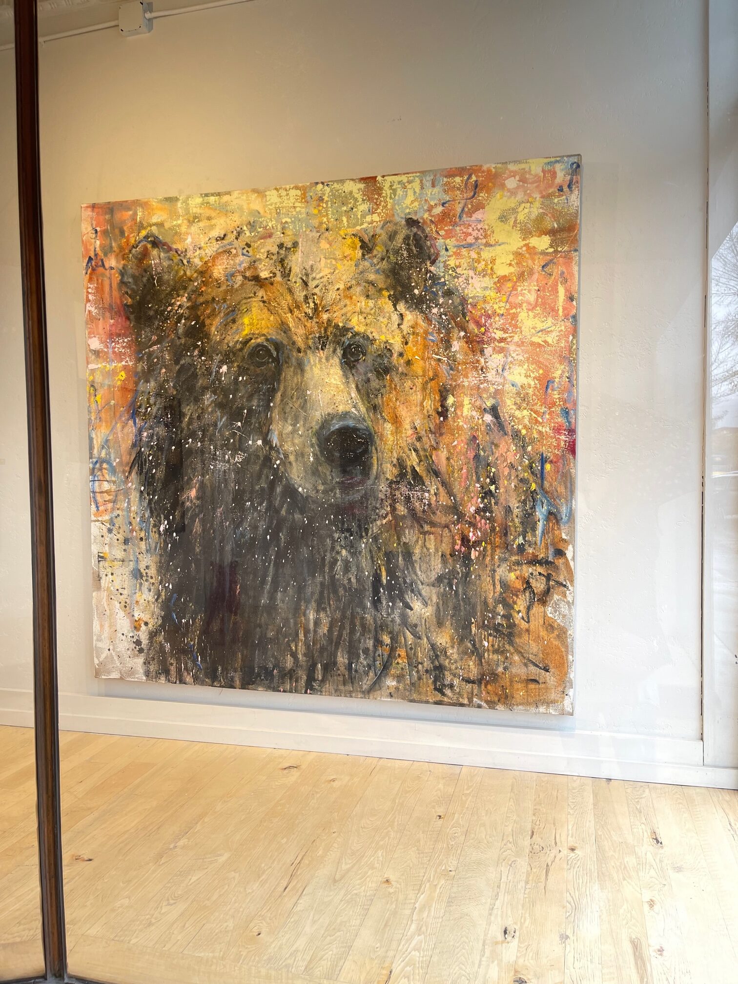
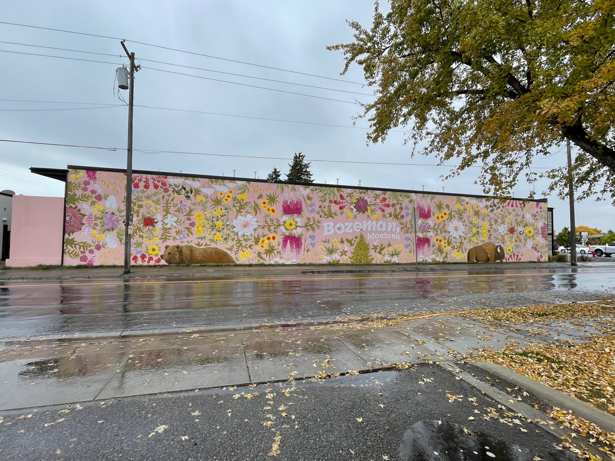
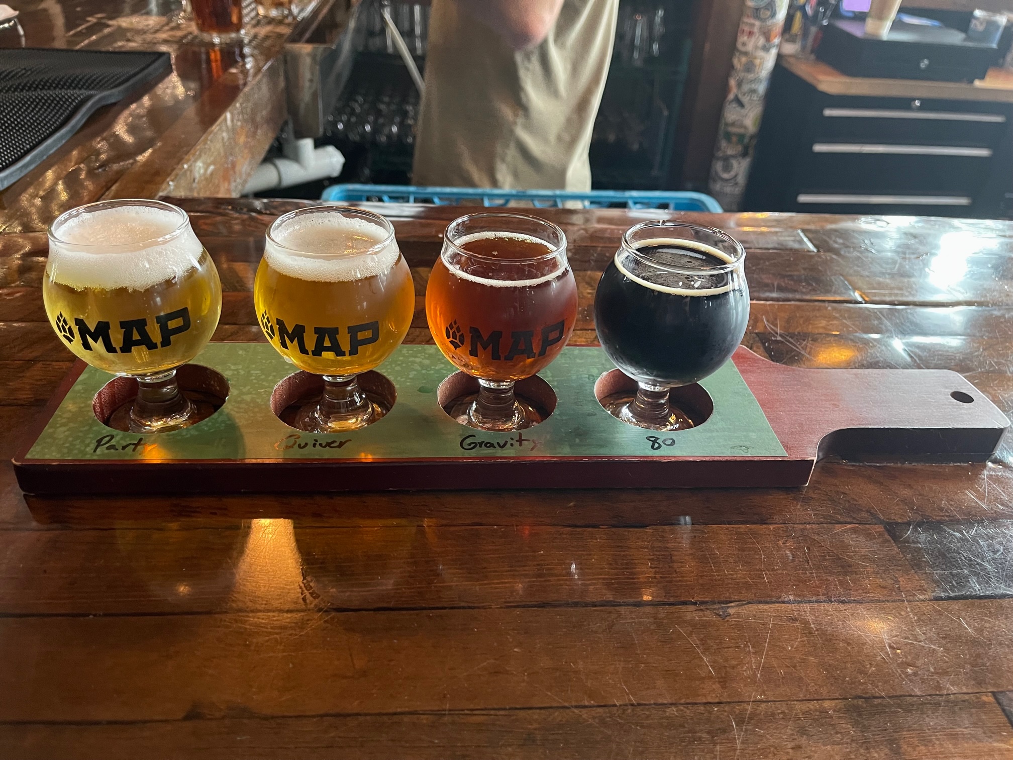
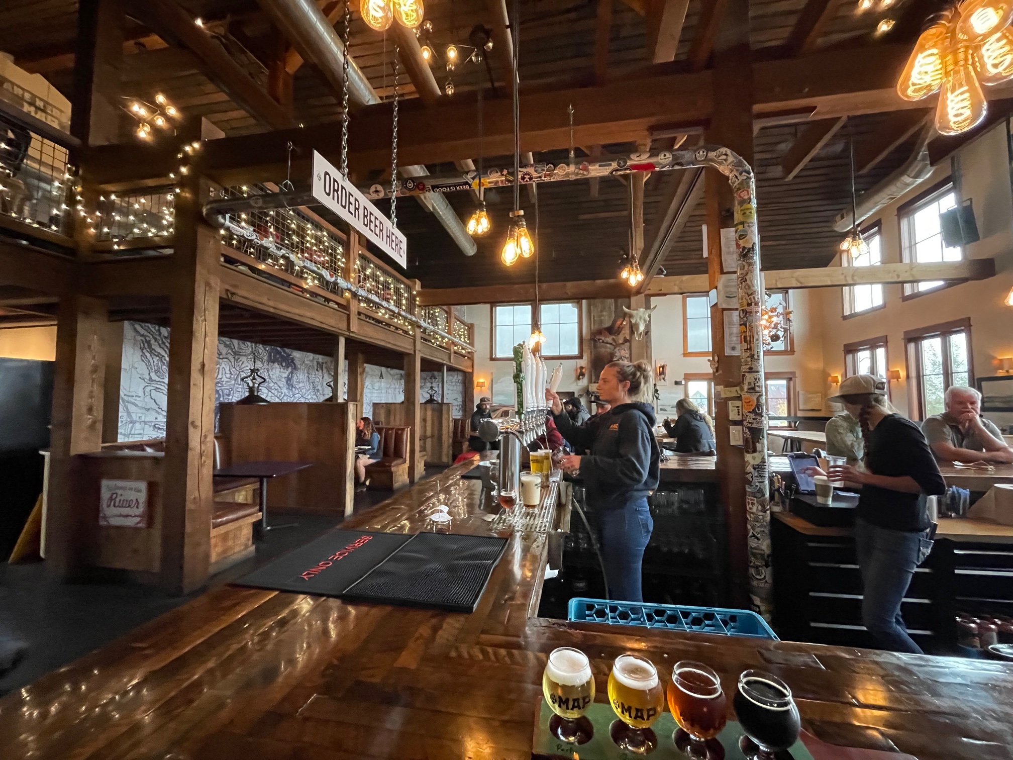
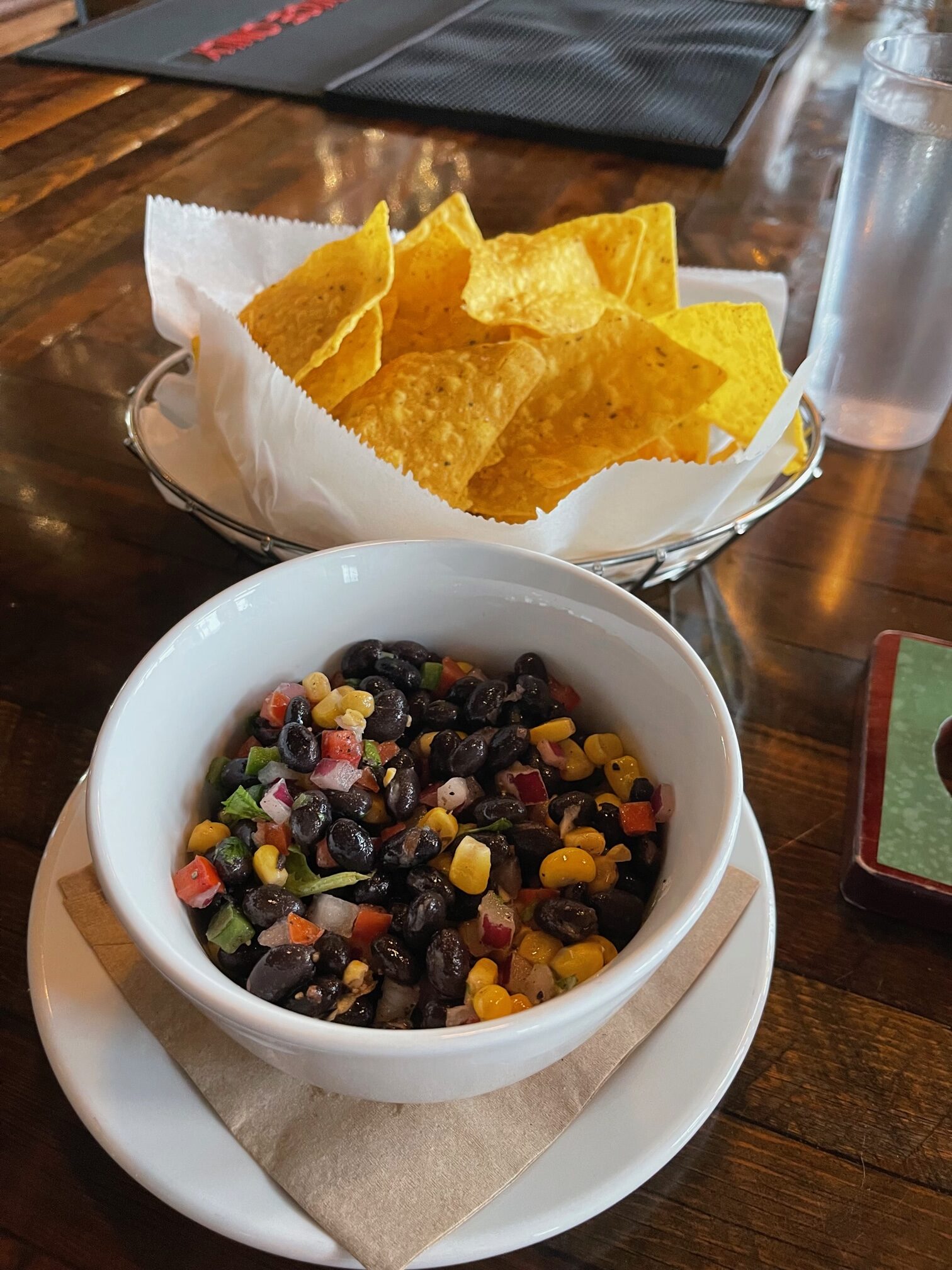
Afterwards, I was so thirsty and slightly hungry that I went to the only brewery I could find open at 1pm (the rest opened at 4pm) called MAP Brewing, where I had a beer sample that consisted of a Pale Ale, Lager, Pilsner and Oatmeal Stout with Chips and Black Bean Salsa. I liked them all but the Stout was a bit too heavy for me. I don’t know what happened to my taste buds over the years considering I used to adore dark beers. Now I just prefer light ones!
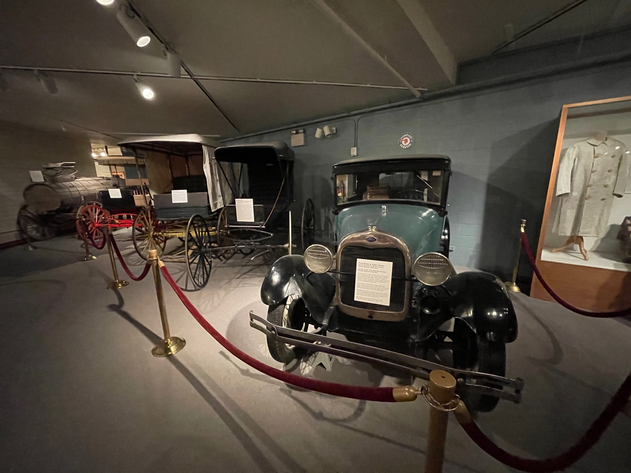
Next I headed toward the Museum of the Rockies ($16.50), an affiliate of the Smithsonian. It had a ton of dinosaur fossils, rocks and fossils from Glacier, Yellowstone and Grand Teton National Parks, and artifacts from the 1800s, along with a bison.
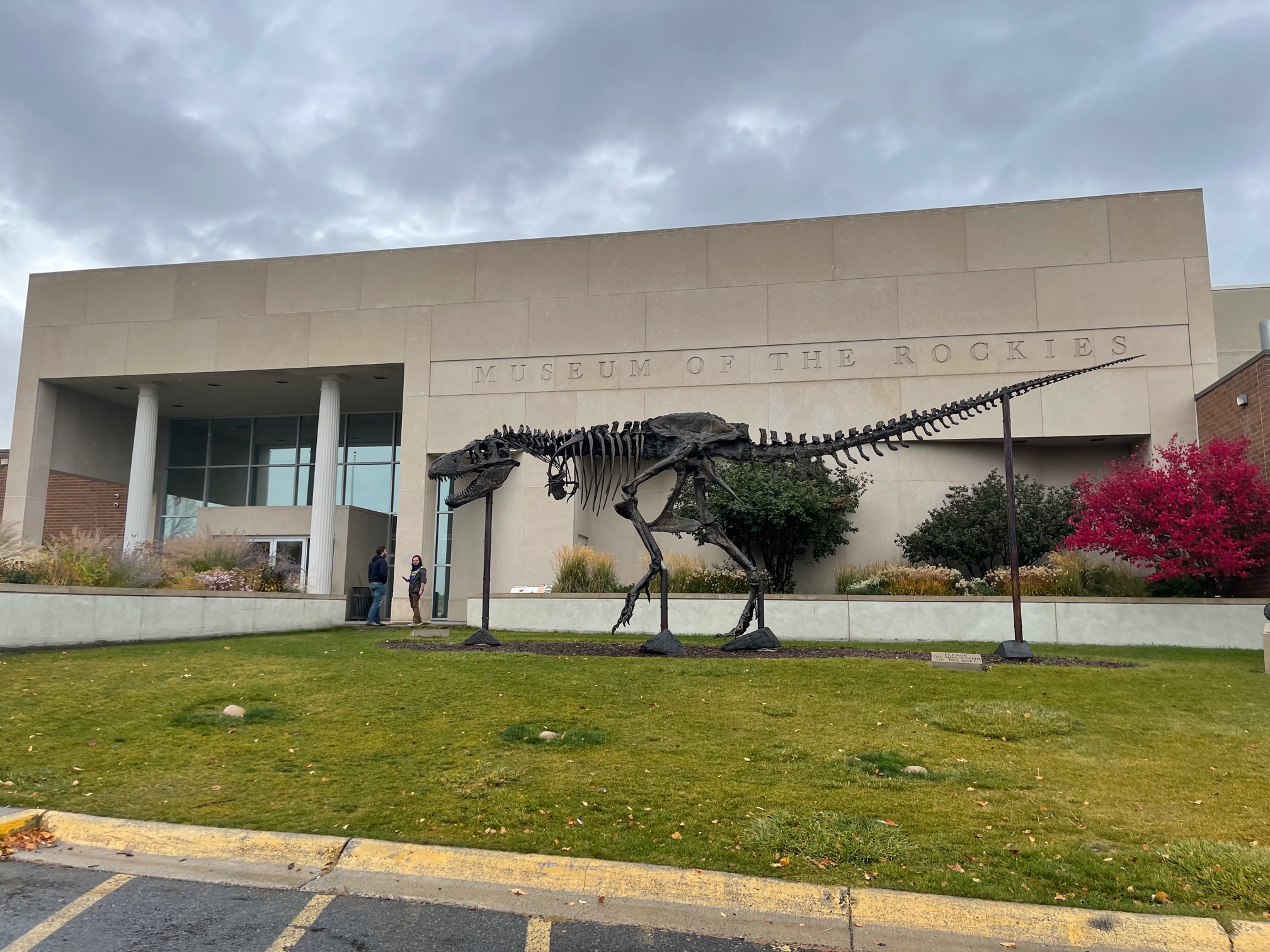
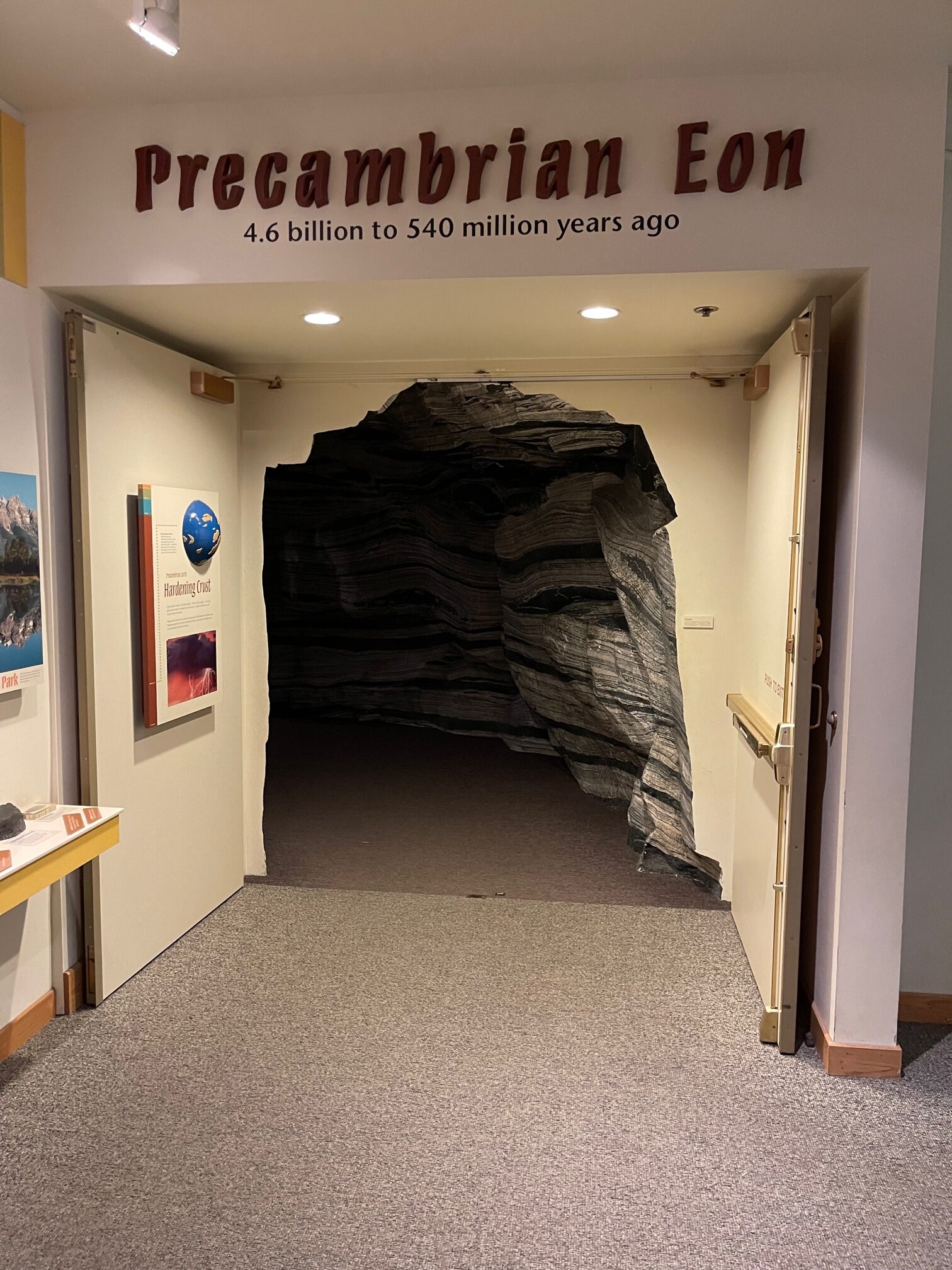
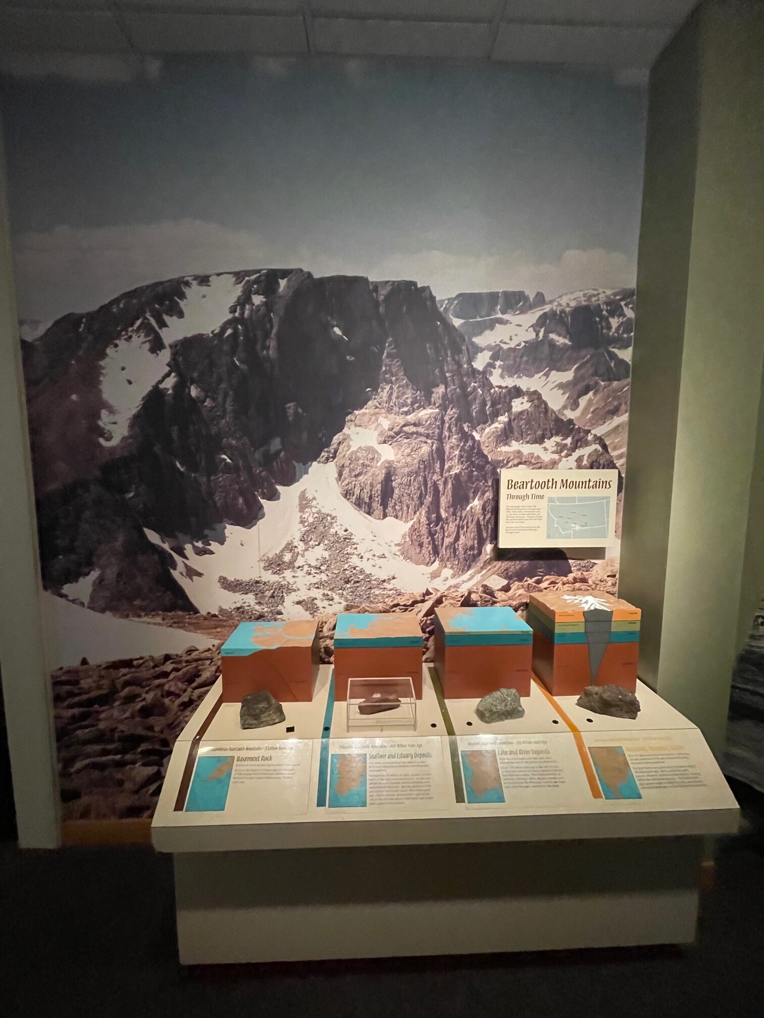
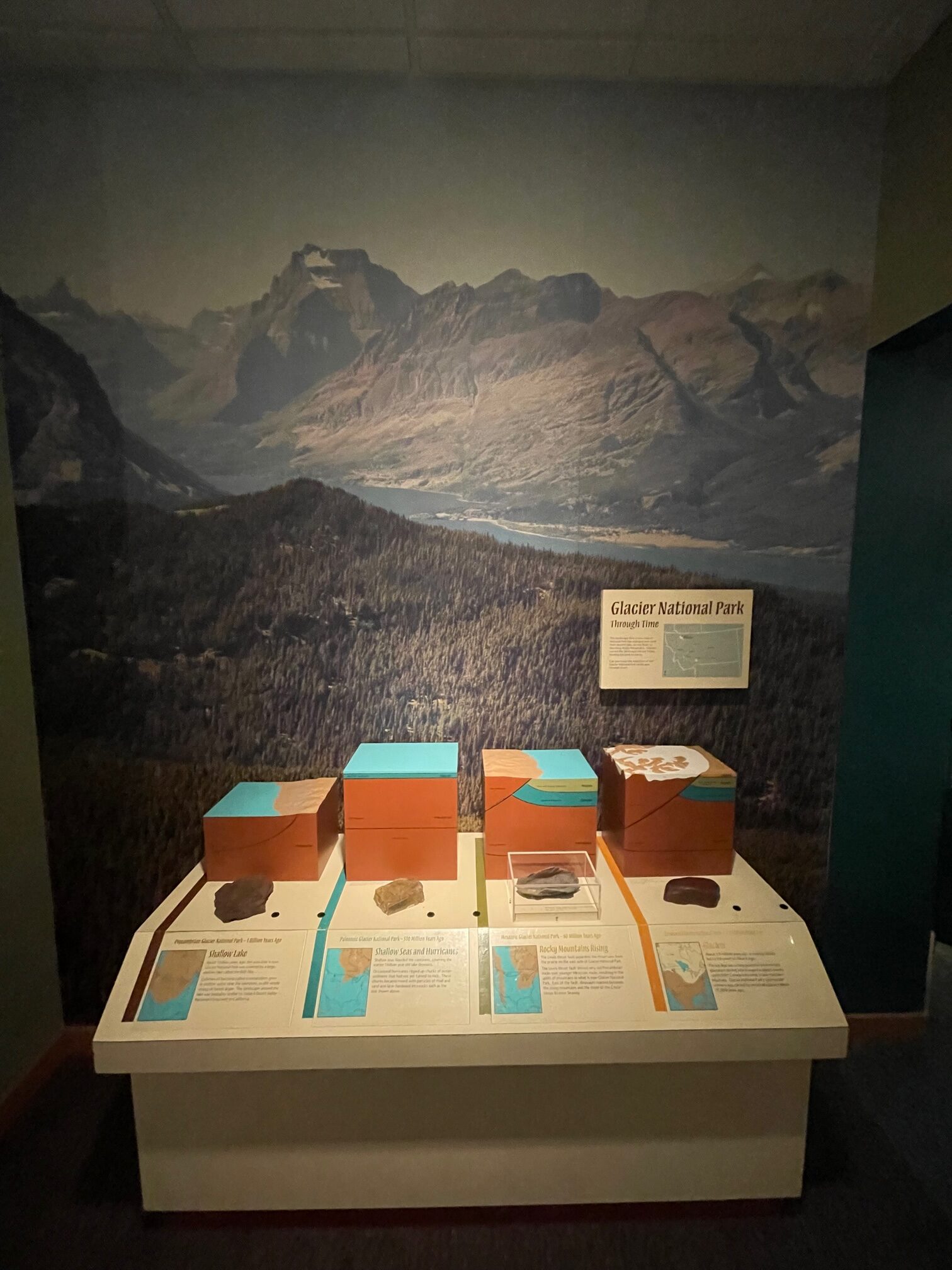
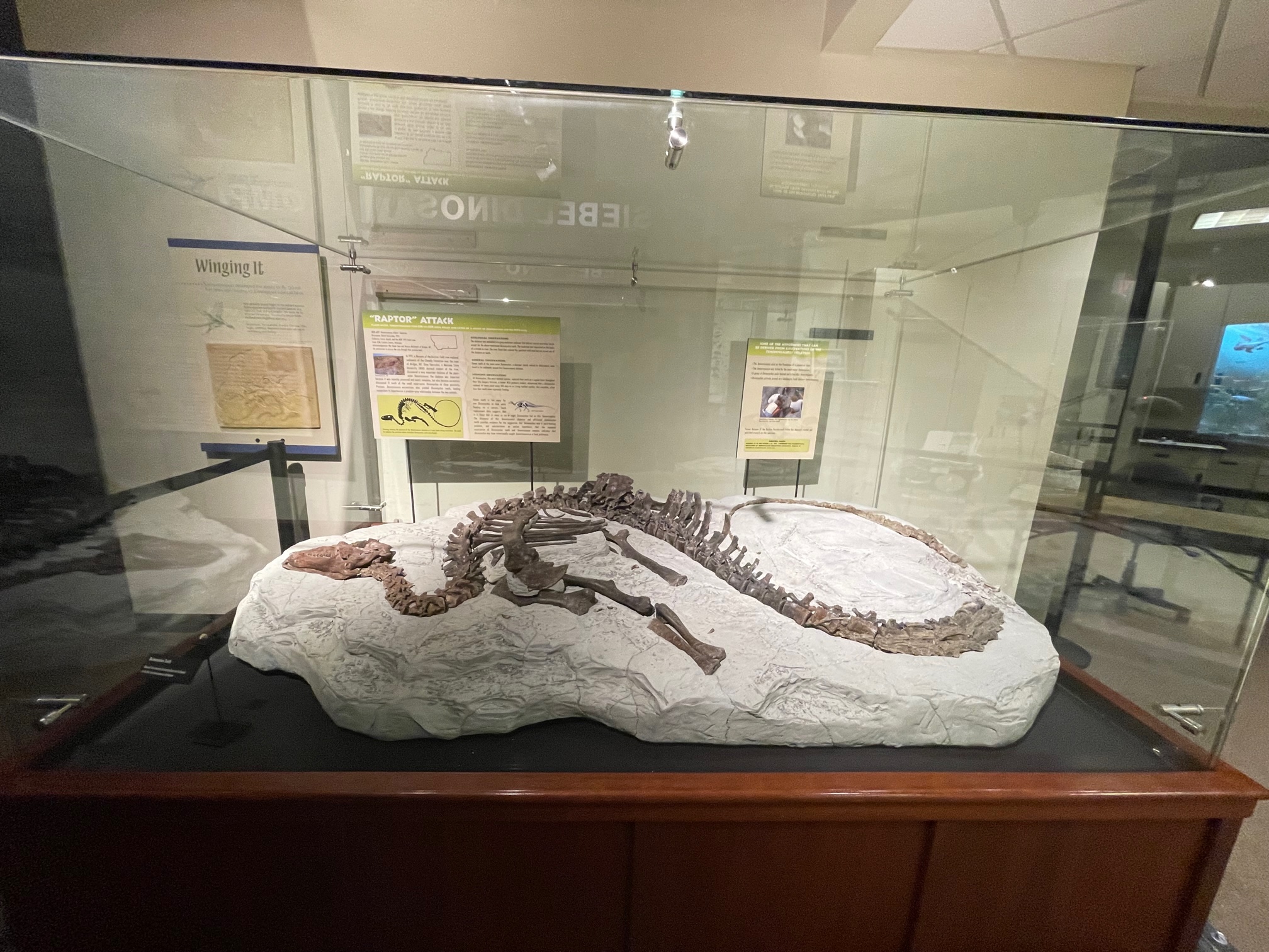
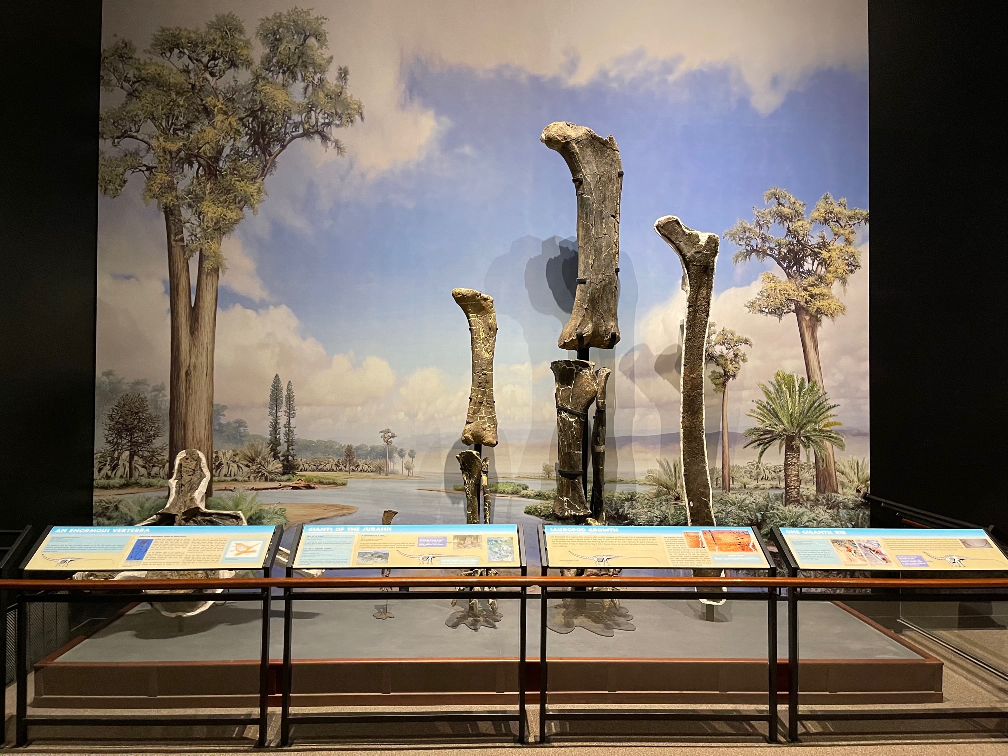
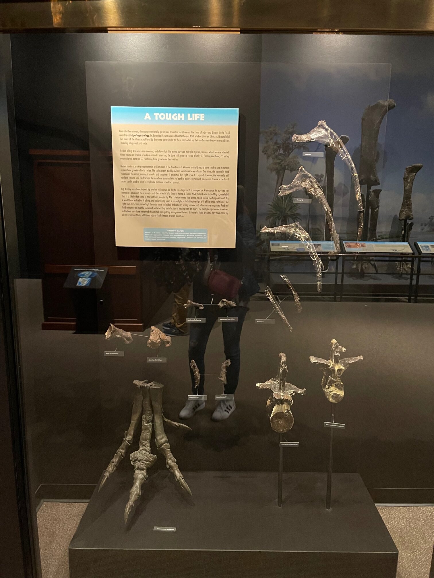
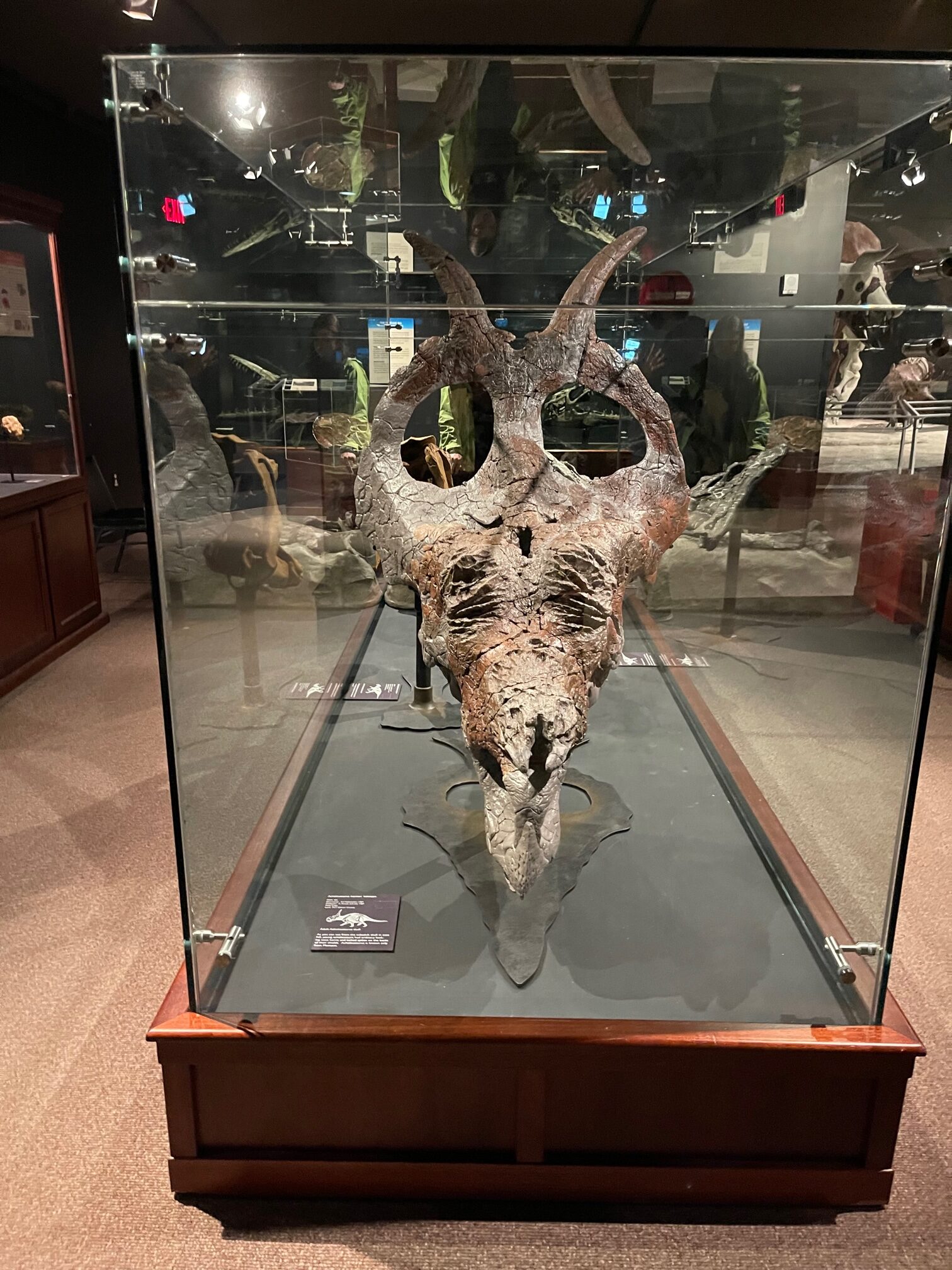
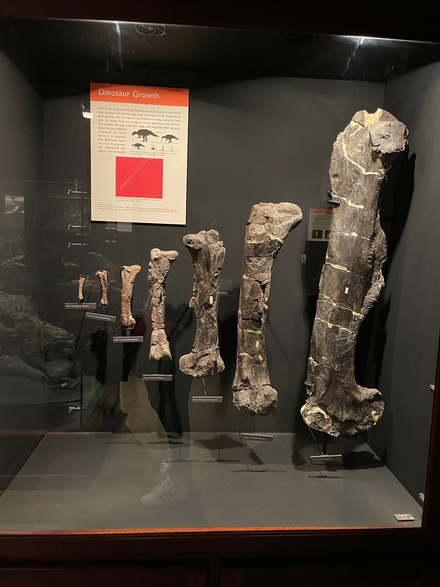
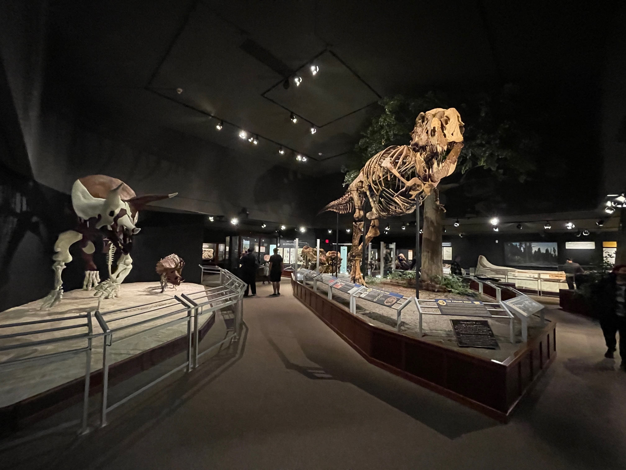
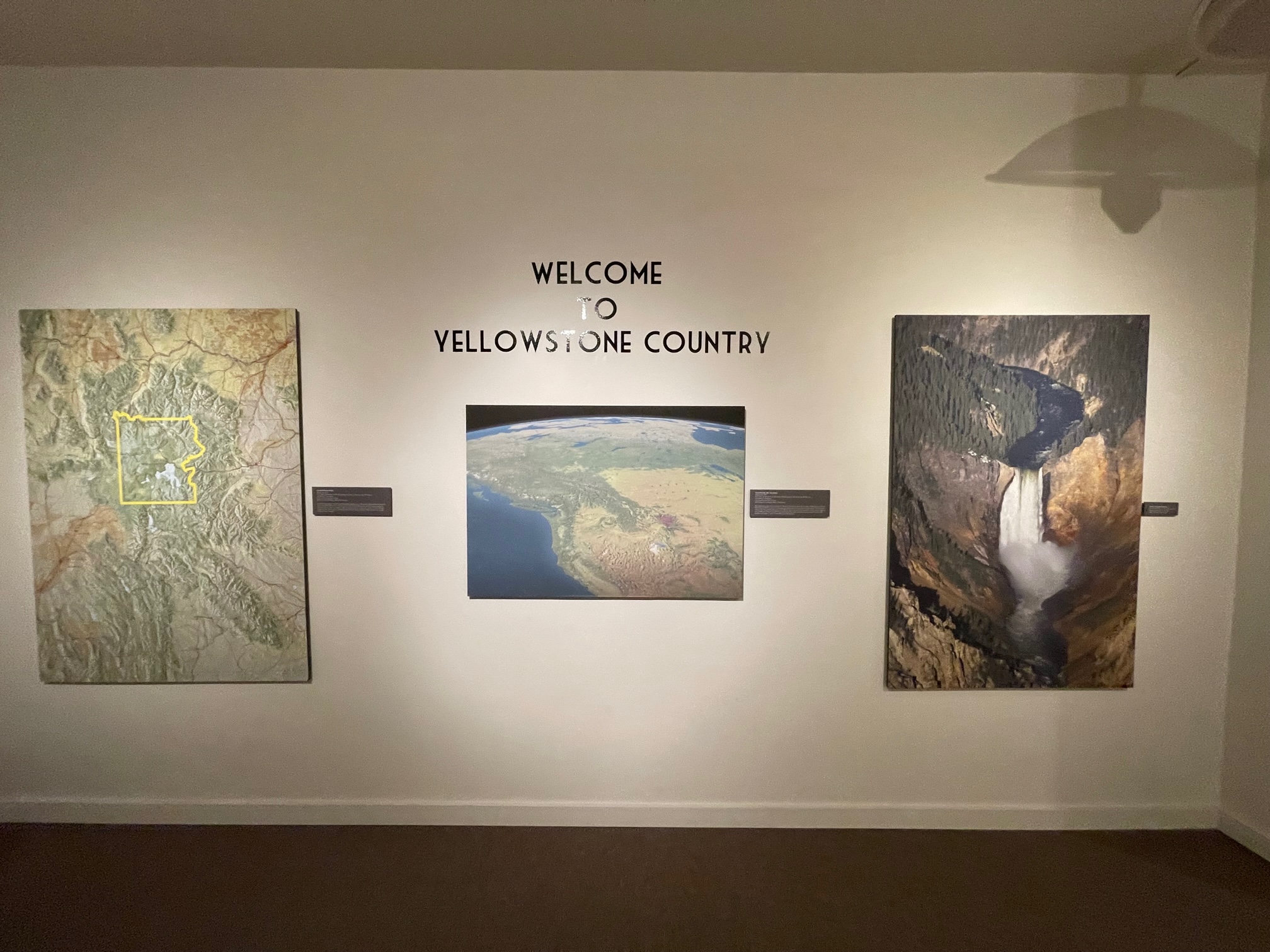
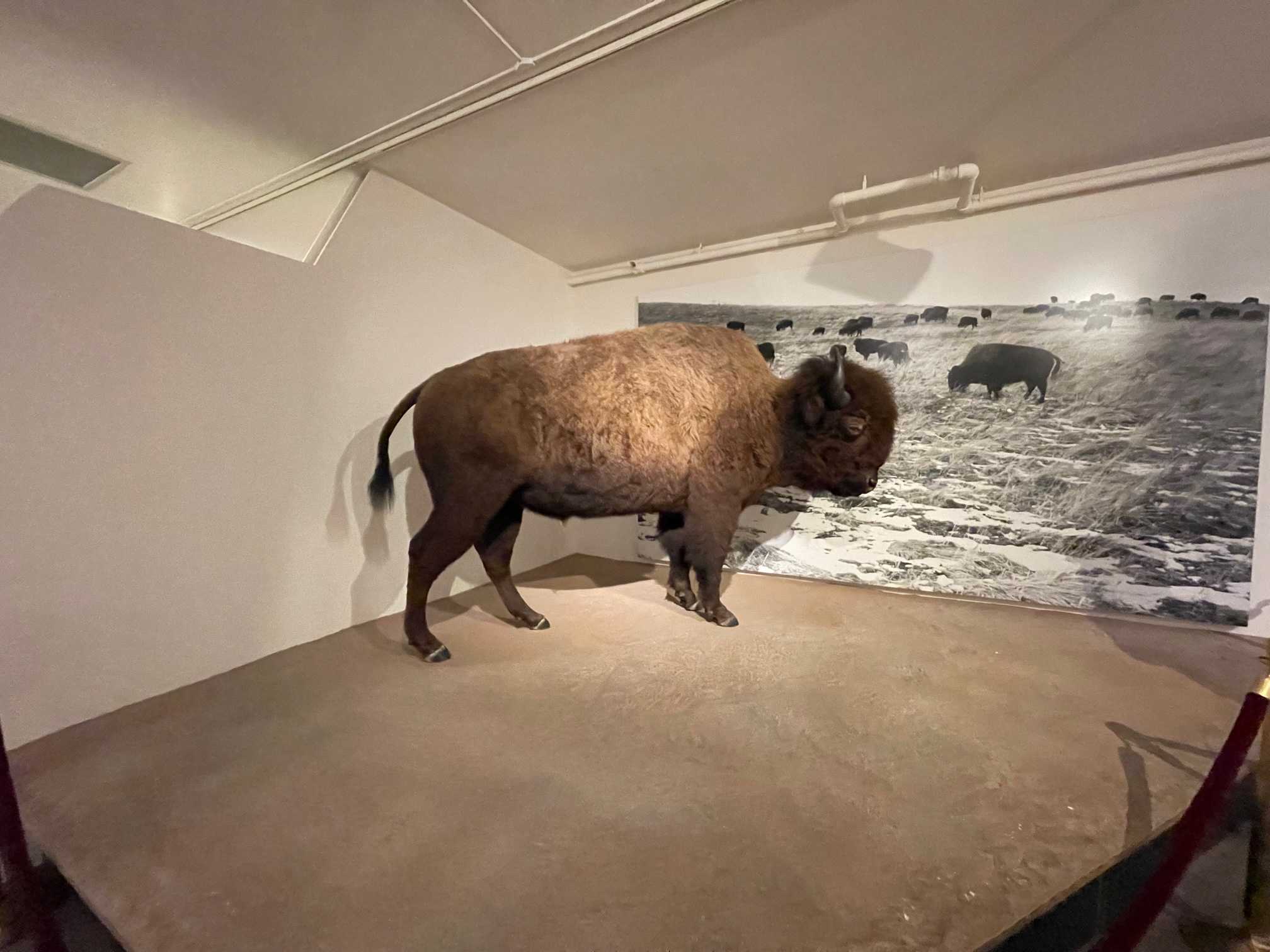
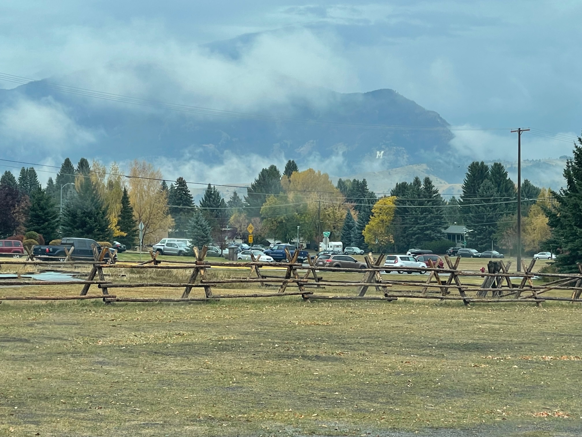
When I left the museum, the rain had cleared for the most part (thank God!) and I was finally able to get a clear shot of the College M on the Gallatin Mountain. The 250 foot white rock letter was created by Montana State University students in 1915 and is still a staple in the community to this day!
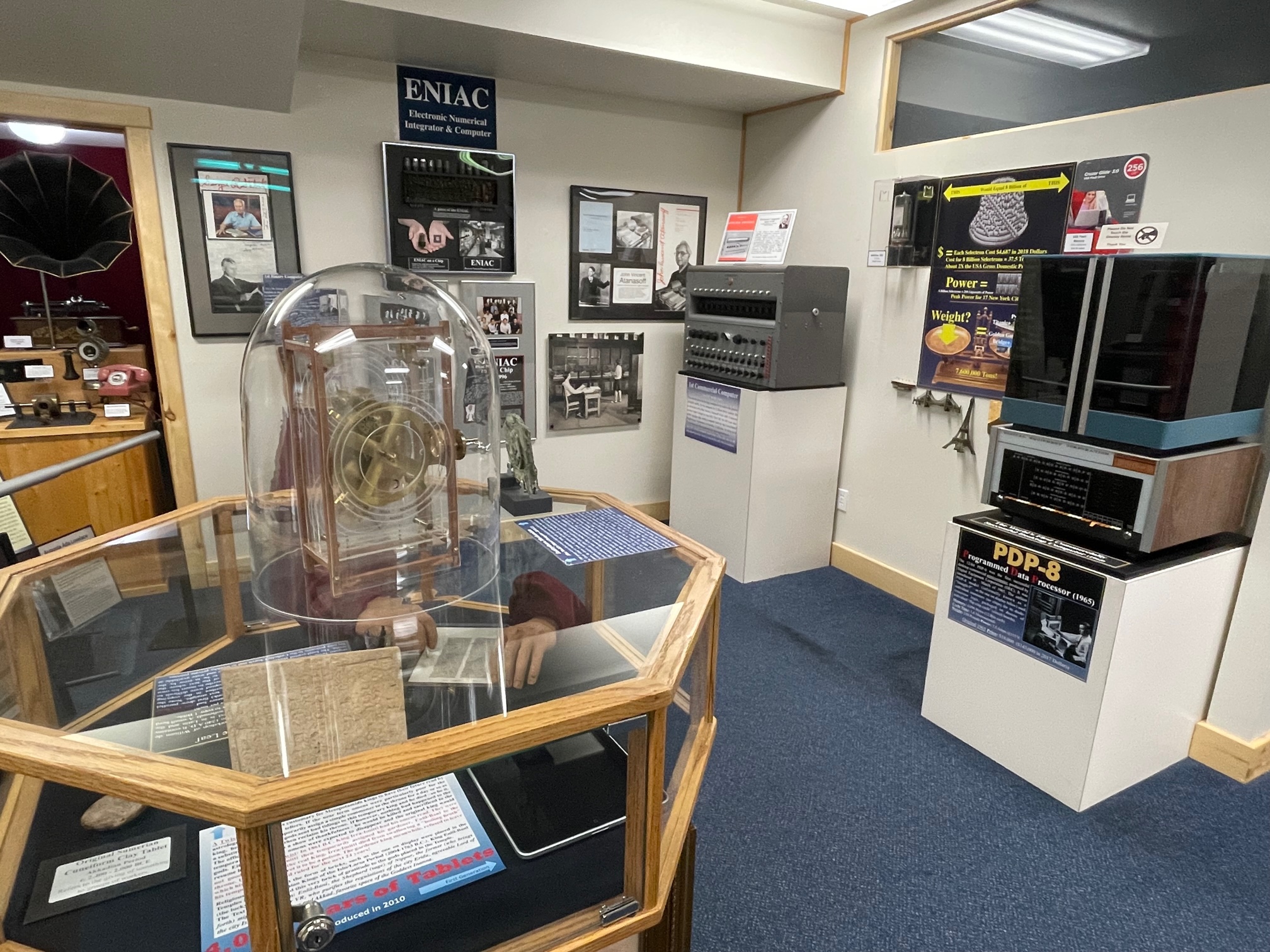
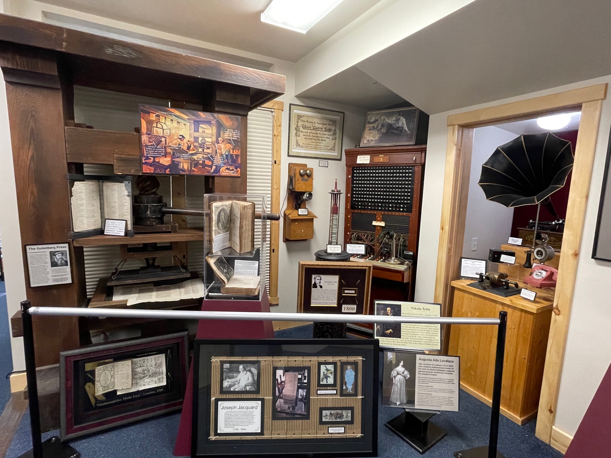
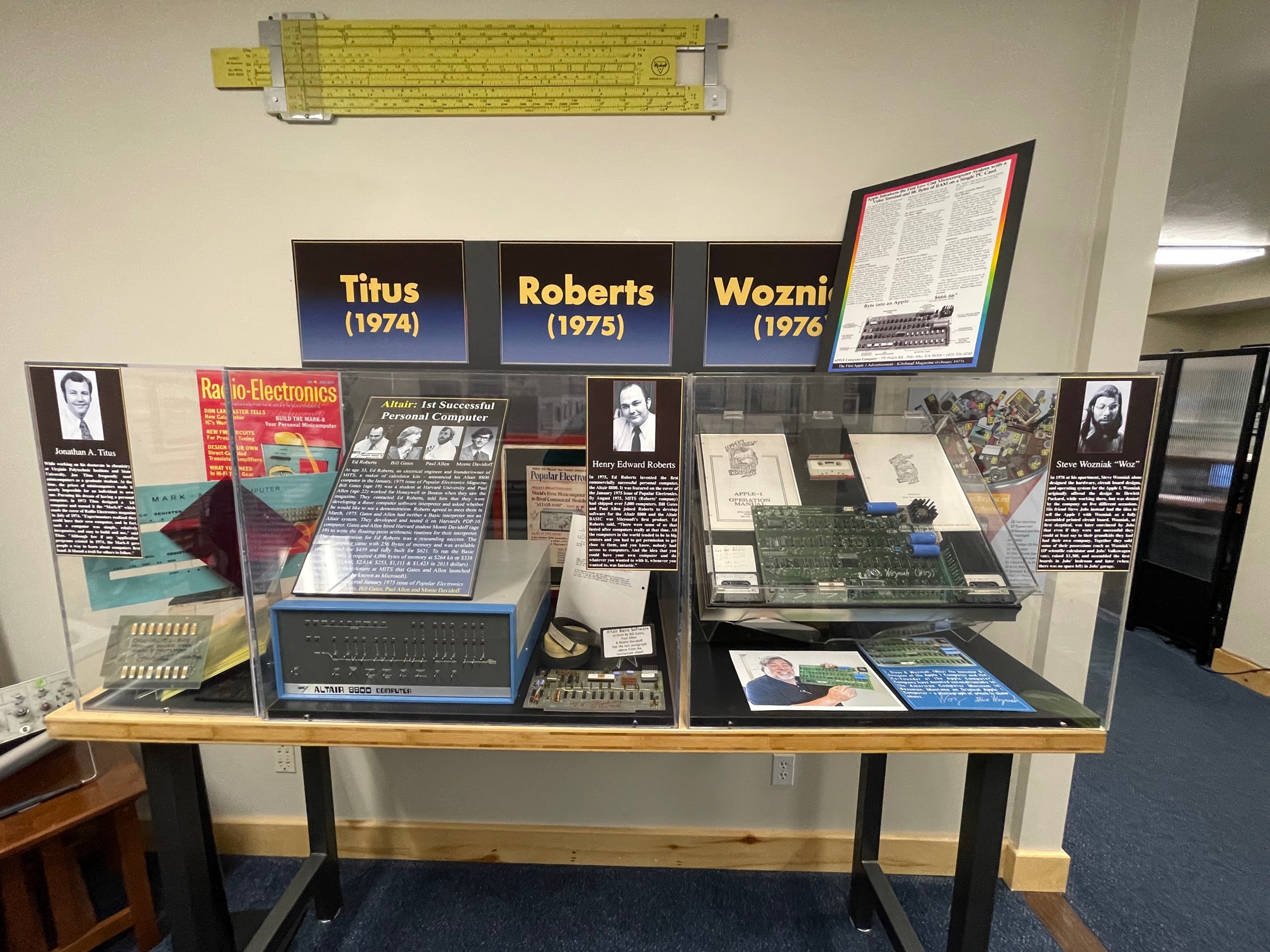
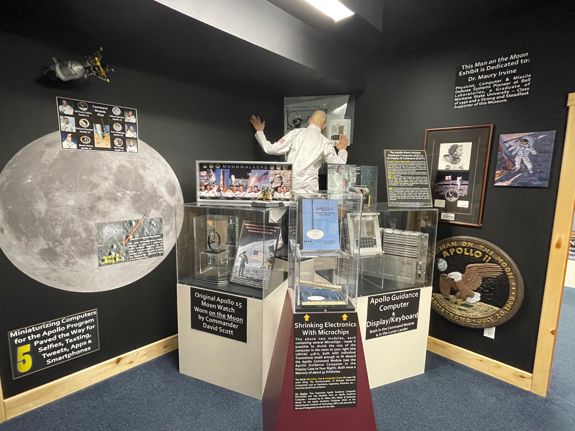
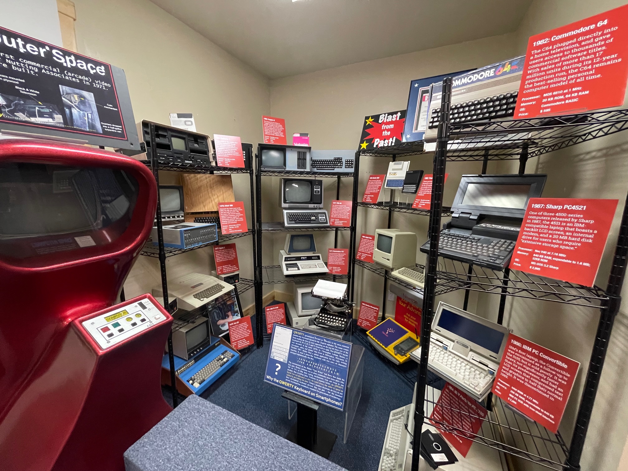
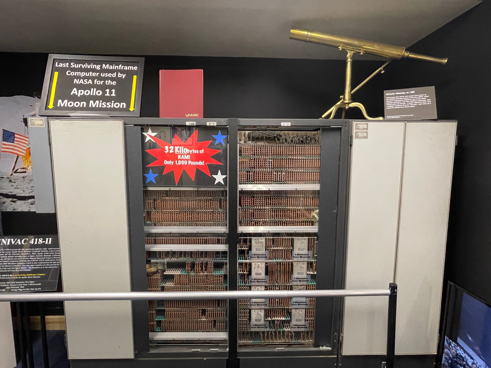
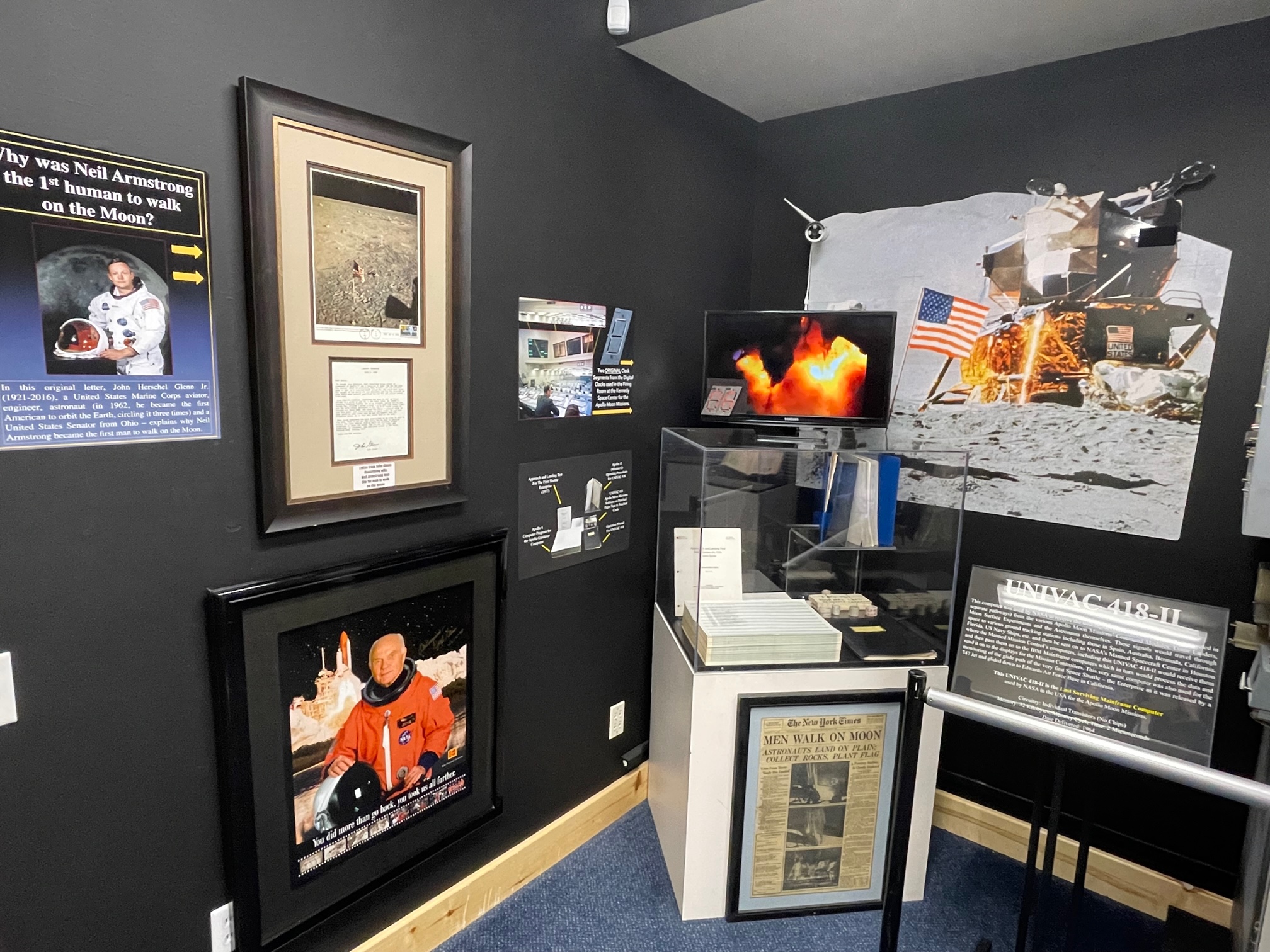
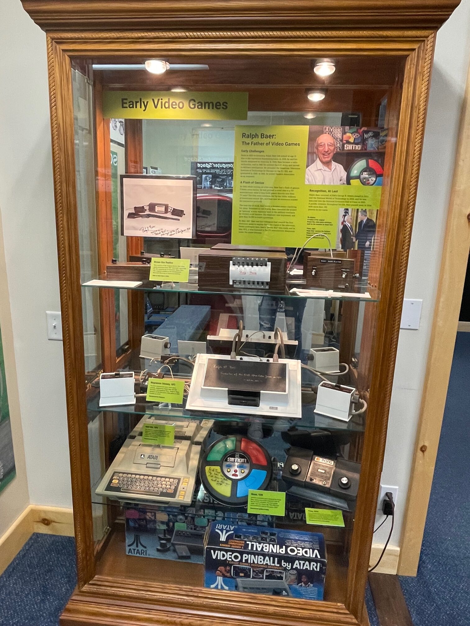
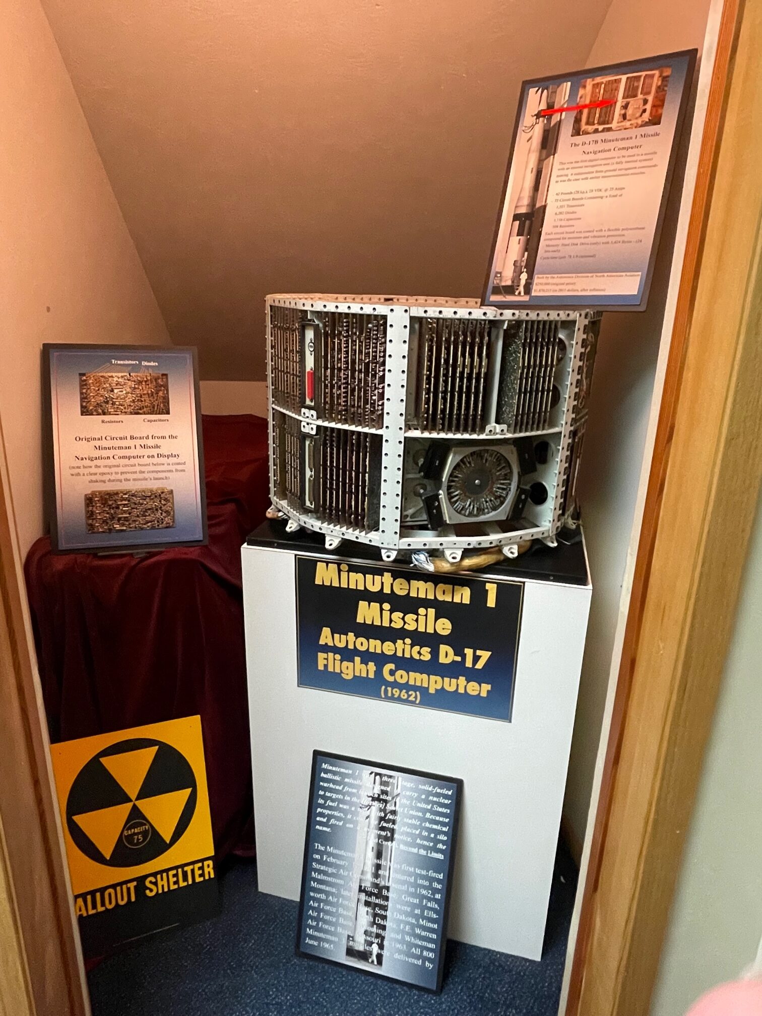
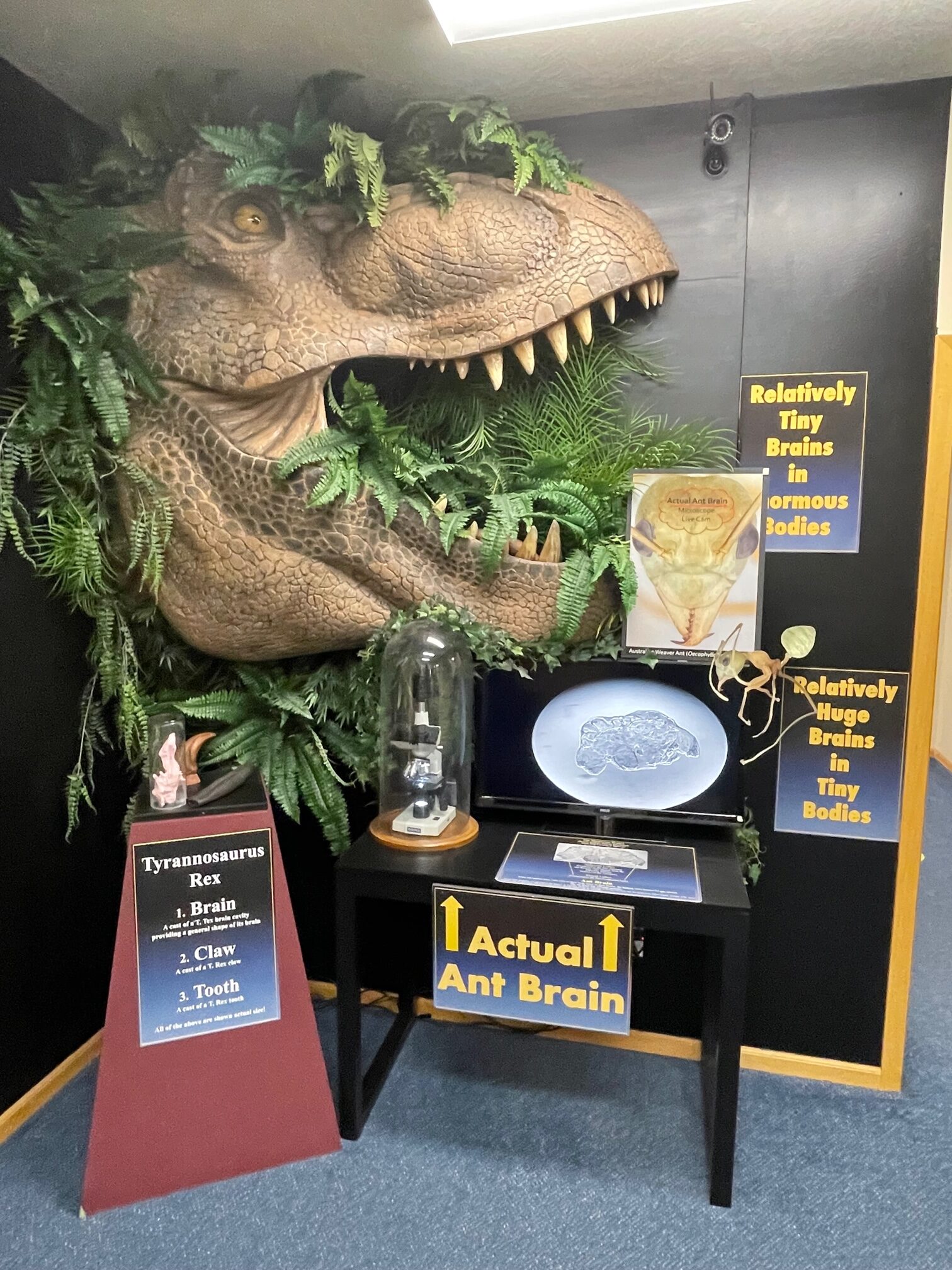
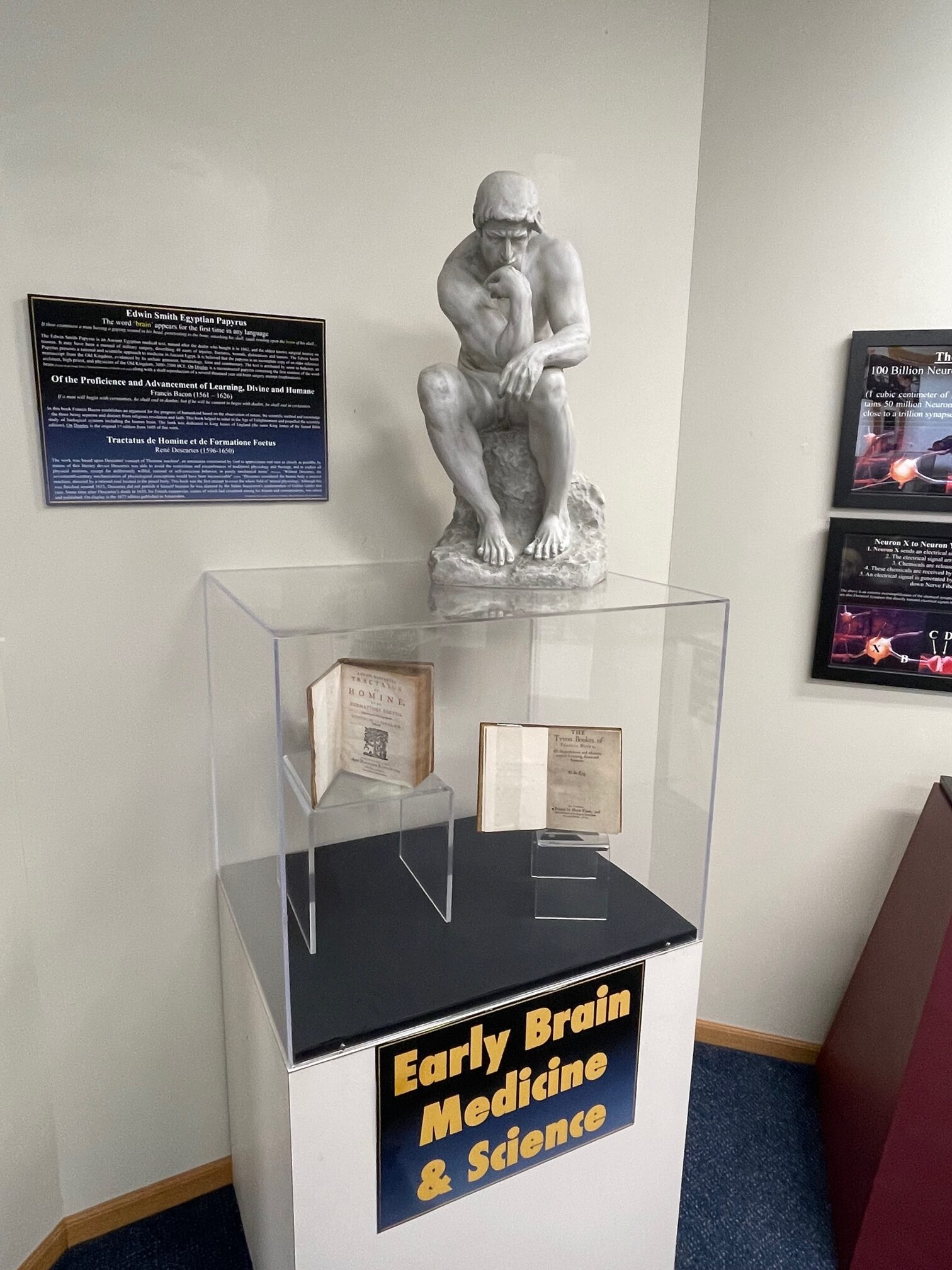
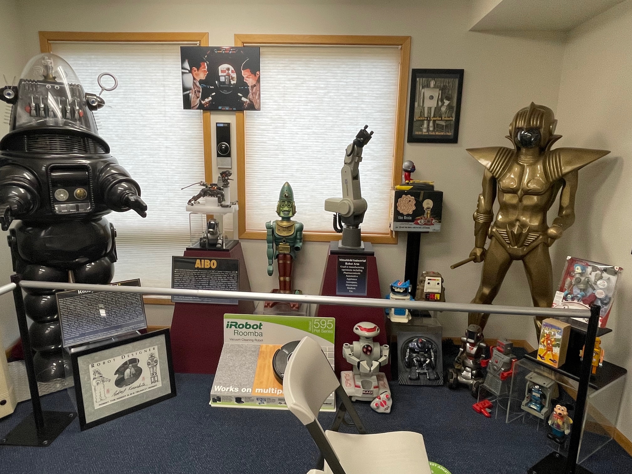
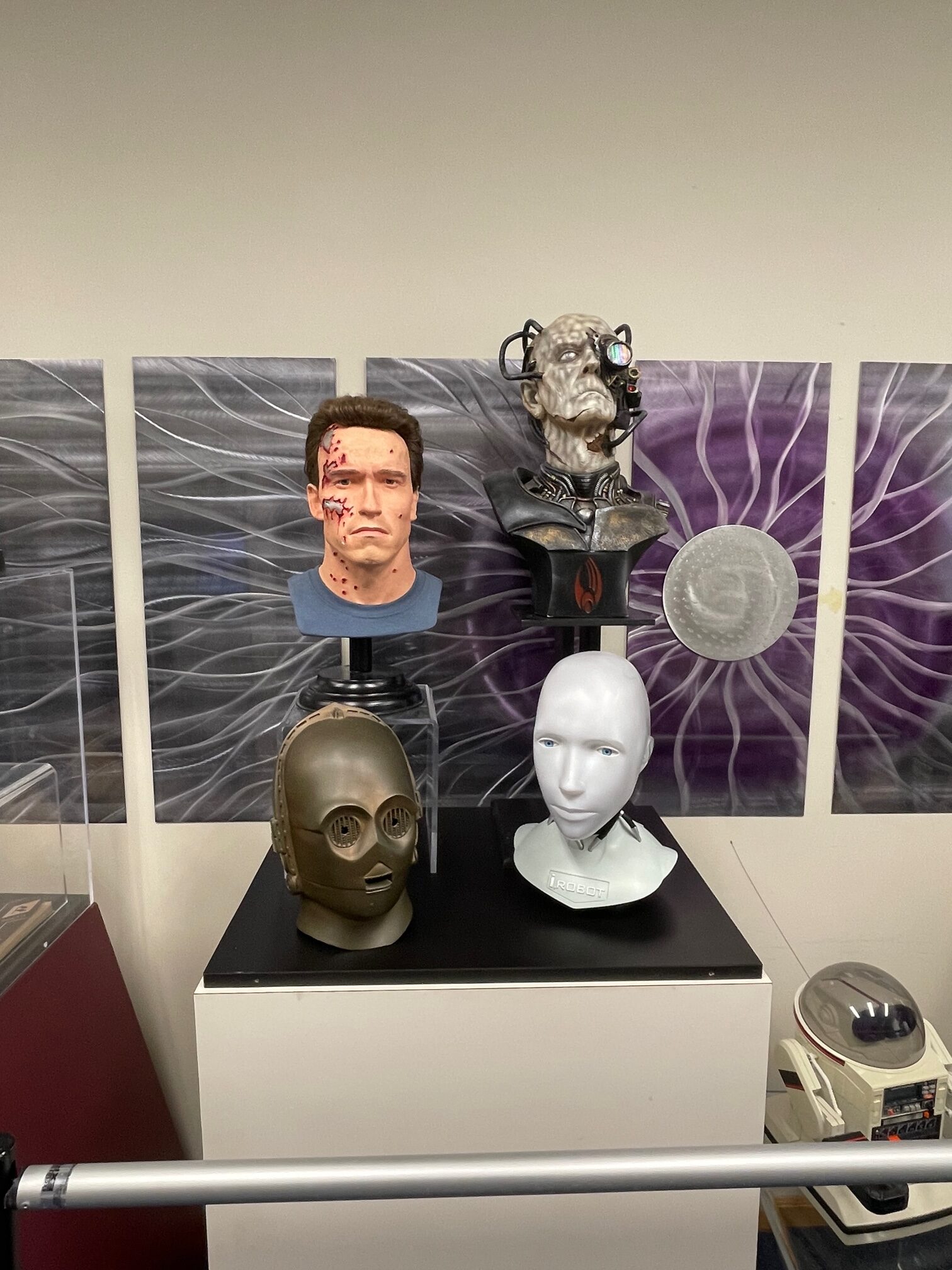
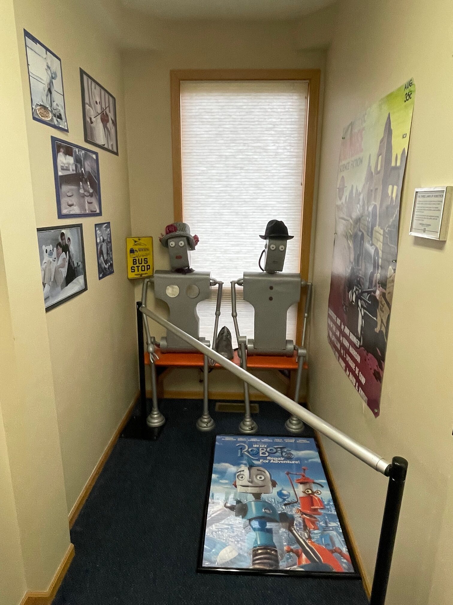
Next I headed to the American Computer and Robotics Museum ($7.50), which holds 4,000 years of robotics, computers, coding and Space-related items. I saw some artifacts from Steve Jobs and Steve Wozniak from their early days with Apple, robots and some computer artifacts from the Apollo 11 and Apollo 13 space missions!
Big Sky, MT
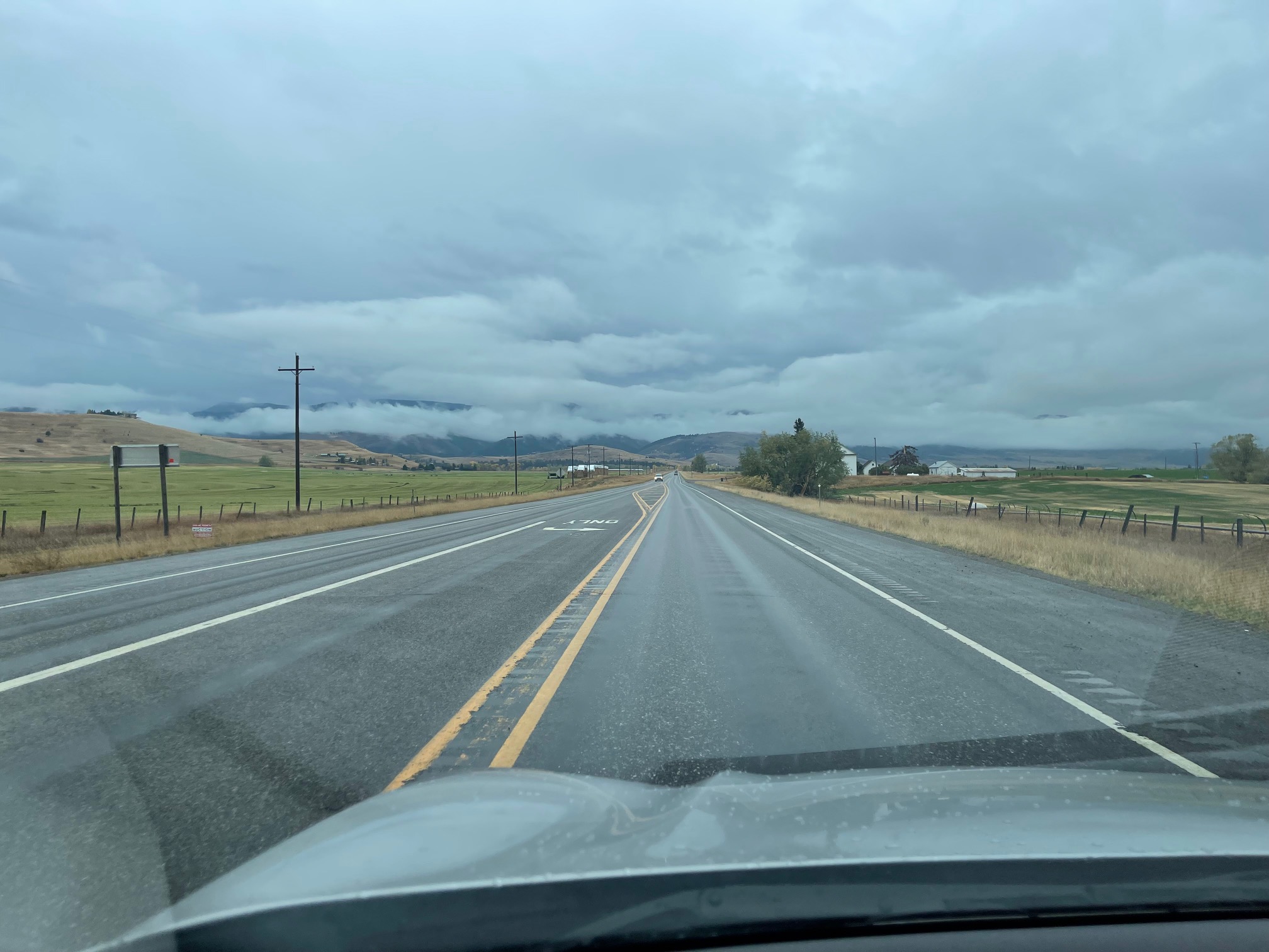
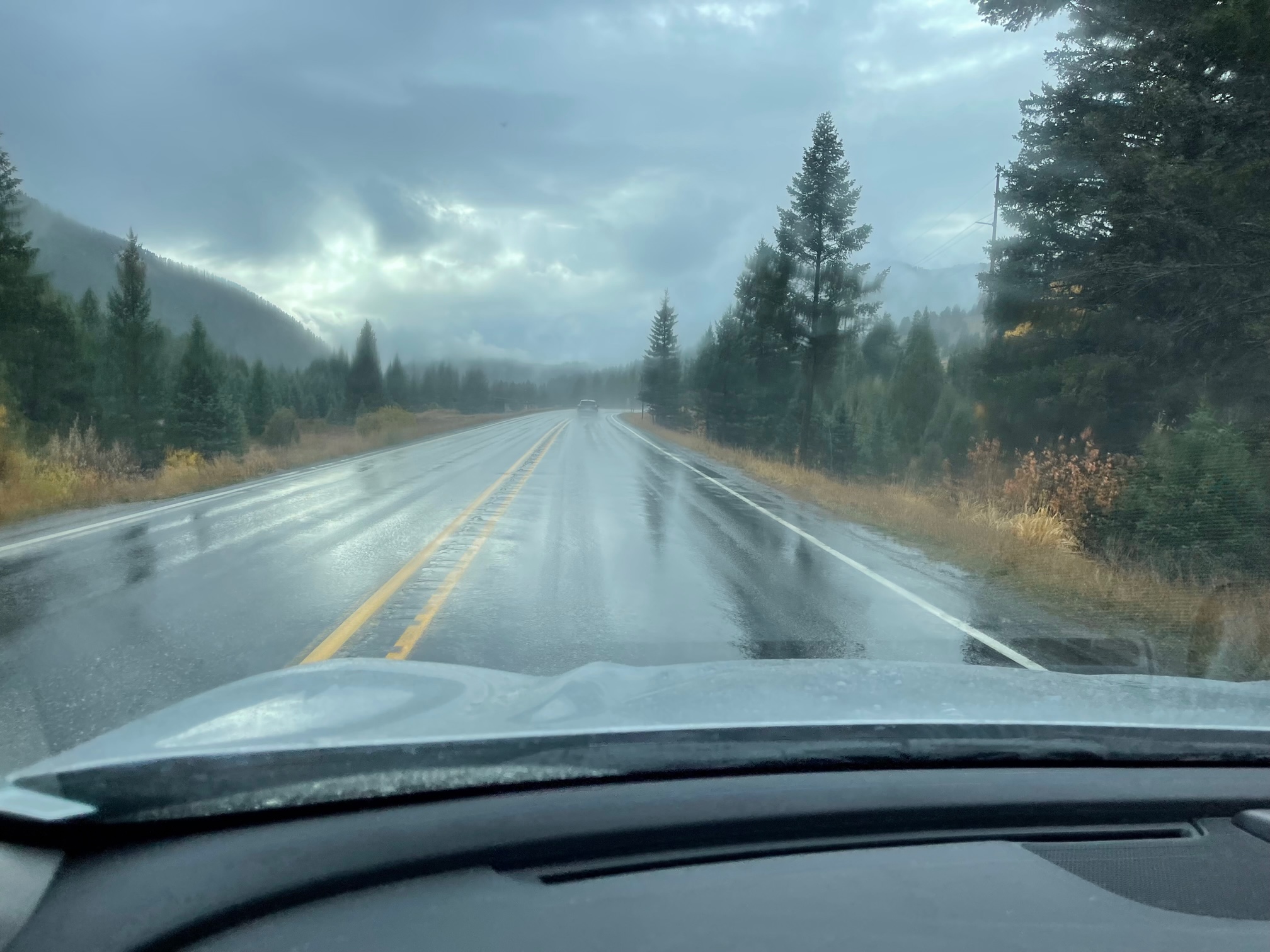
After the American Computer and Robotics Museum, I started to head south to Big Sky, MT, a popular ski resort town an hour outside of Bozeman, MT. I had to go through many back roads and fields before I got onto Highway 191, where it began to rain like crazy again. Upon approaching Big Sky, I saw a slight clearing!
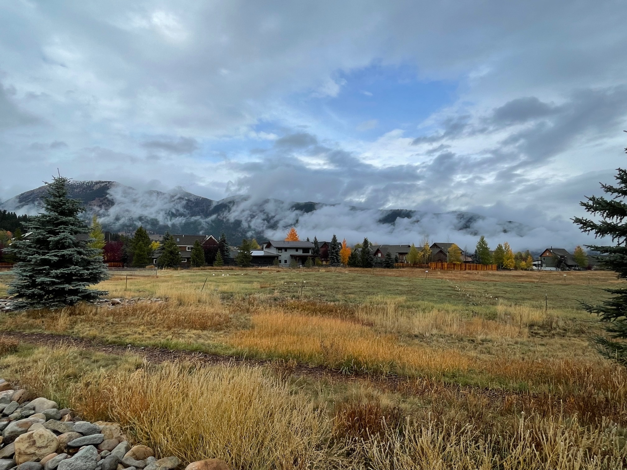
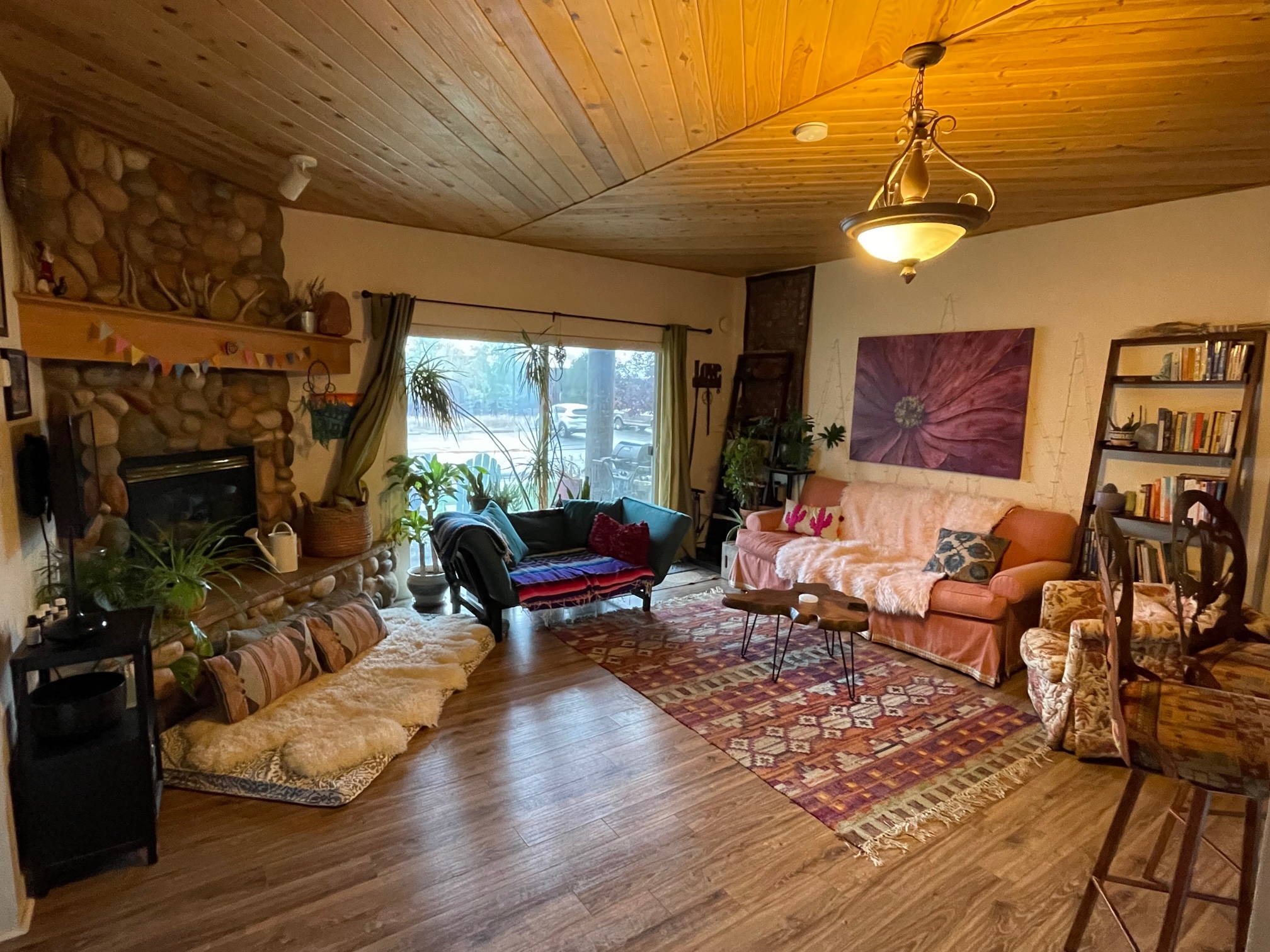
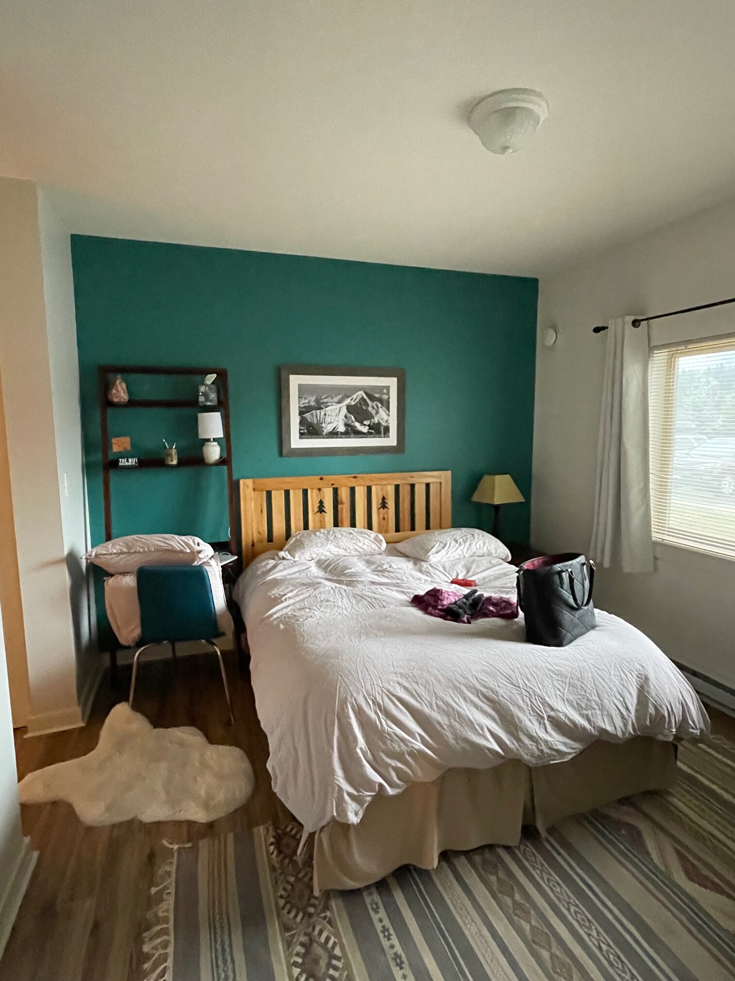
I checked into my Airbnb that was super adorable inside and had a gorgeous view. I got lucky!
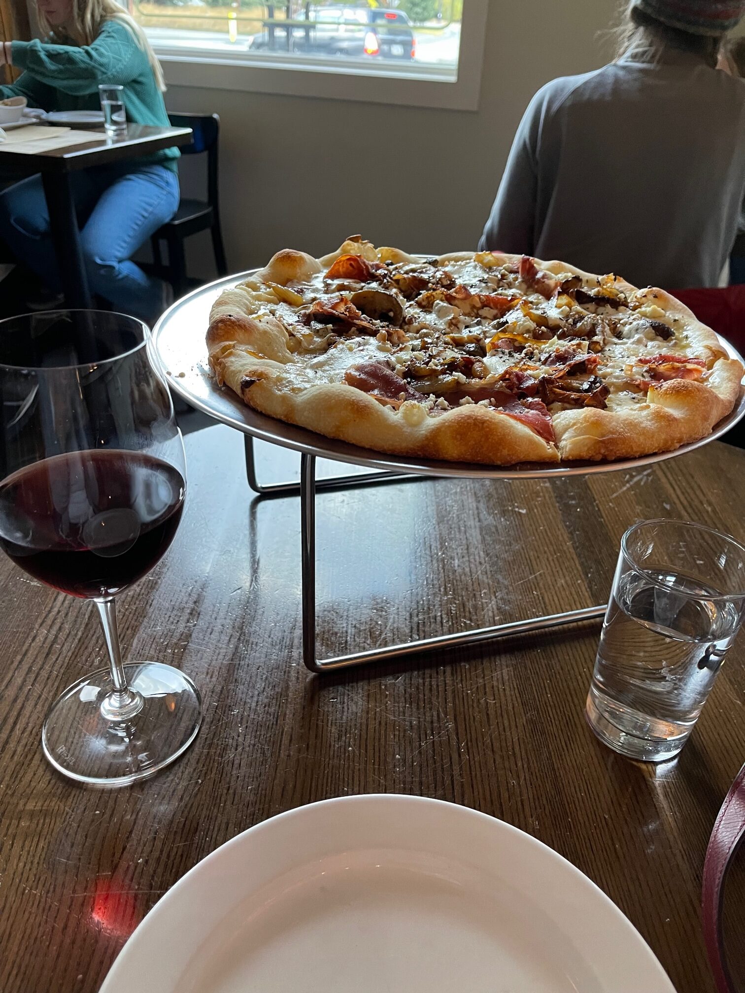
Next I wanted to try out a ramen place in town for dinner. It was closed for the season. Then I tried my second place, an organic restaurant, I had found online. That was closed due to staffing shortages. In fact, as I made my way around the main drag, many restaurants were closed, except a few pizzerias, so I had a Wild Mushroom Pizza and Pinot Noir from Ousel & Spur. The pizza was very fresh and I loved the mushroom along with the sweet onion, balsamic and mozzarella cheese!
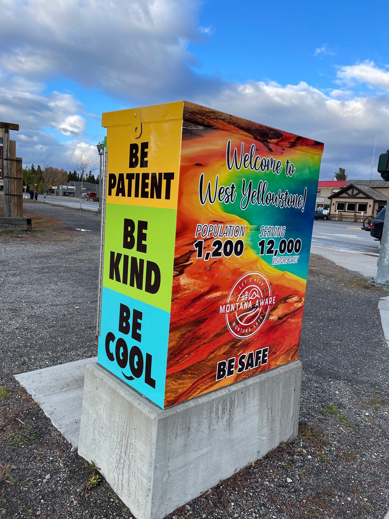
Next I asked the waitress about the many stores that were closed either due to staffing shortages, COVID-19 or other reasons. She explained to me that the cheapest place to buy in Big Sky is $1.2 million! I was shocked! She said if you are “lucky”, you can get a condo for $700,000, hence all of the staffing shortages because people cannot afford to live there. I actually went to realtor.com and I did see some condos between the $300,000 to $500,000 range, but it was rare. Even in LA you can get a better deal in certain spots!
Afterwards, I went to the grocery store to stock up on food and beverages for my 3 day long adventure before heading to bed. It was going to be a lot of driving and I wanted to be full and hydrated!
Day 2 – Friday, October 8
Yellowstone National Park
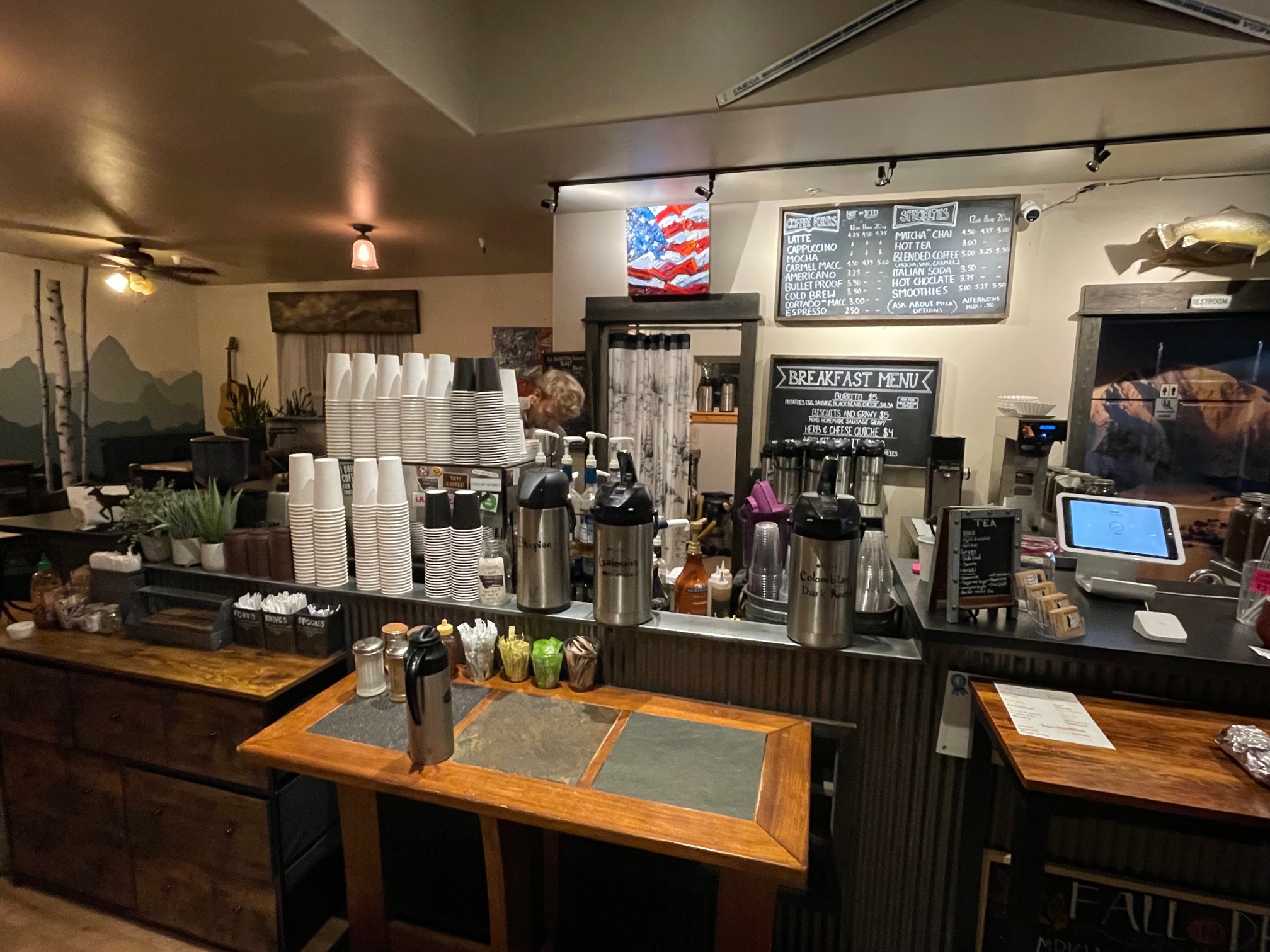
I had gotten 10 hours of sleep the night before and I woke up at 6:30 a.m. to get a Hazelnut Latte at Caliber Coffee Roasters. This latte tasted like it also had herbs in it, but nonetheless was still delicious!
I then drove to to the national park I have been dreaming to see for years: Yellowstone! Just some quick facts about the park before we drive in:
- Yellowstone was established as the world’s first national park on March 1, 1872.
- It covers 2.2 million acres of land between Wyoming, Montana and Idaho.
- Is known for many grizzly bears, bison, elk and wolves.
- Attracts more than 3.8 million visitors each year.
- The Grand Loop is the route that takes you to all of the scenic points of the park, which is 142 miles at 45 mph. I didn’t drive to the East or Northeast entrances of the park but I covered about 75% of the territory!
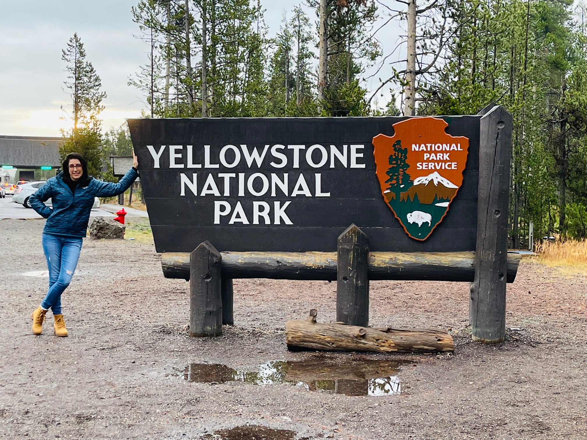
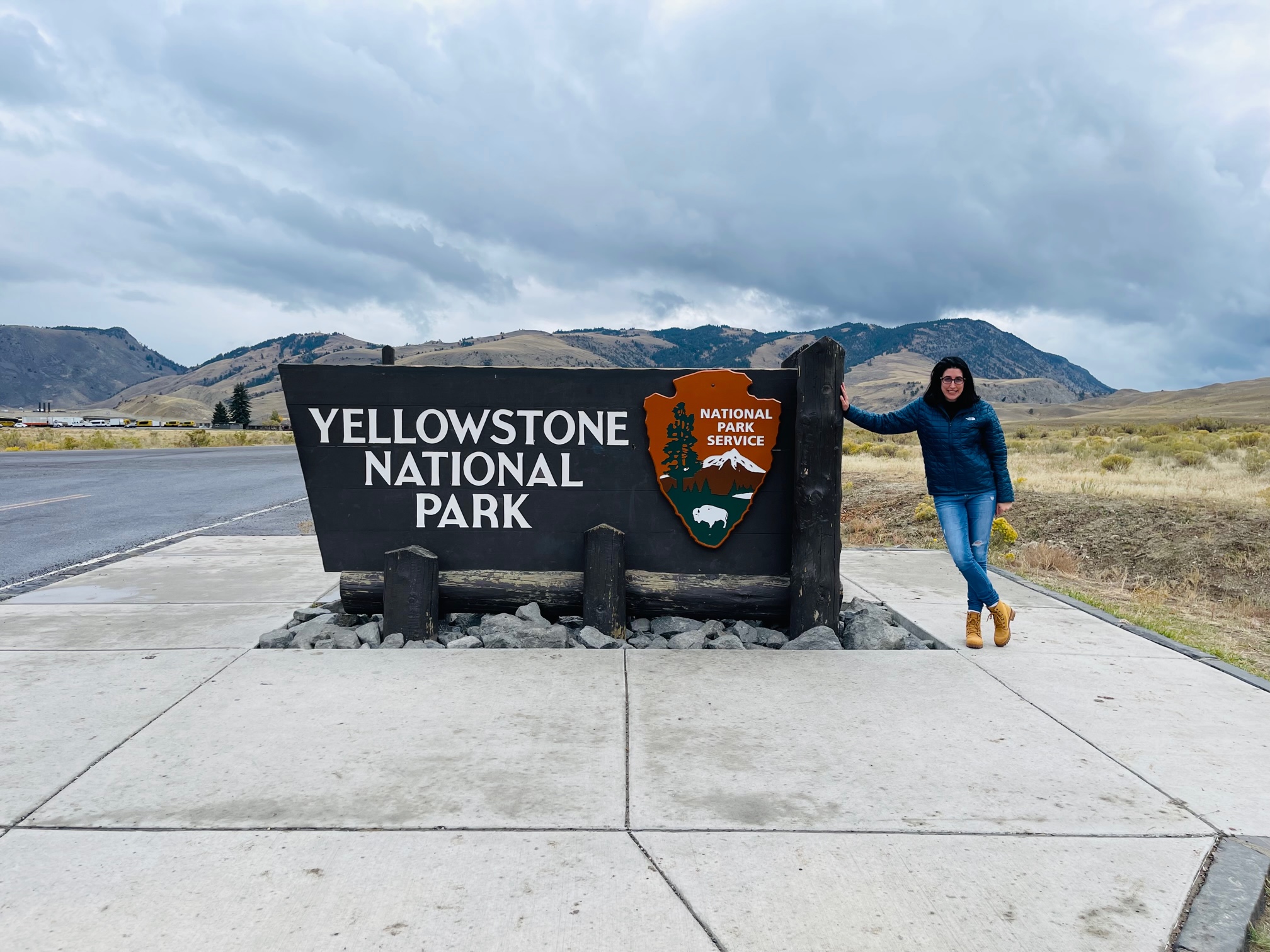
First things first: I got a picture of myself with the icon Yellowstone National Park Sign! This one was taken at the West Entrance.
Then I had to pay for a 7-day pass ($35), which was the only type of pass I could buy for a private vehicle.
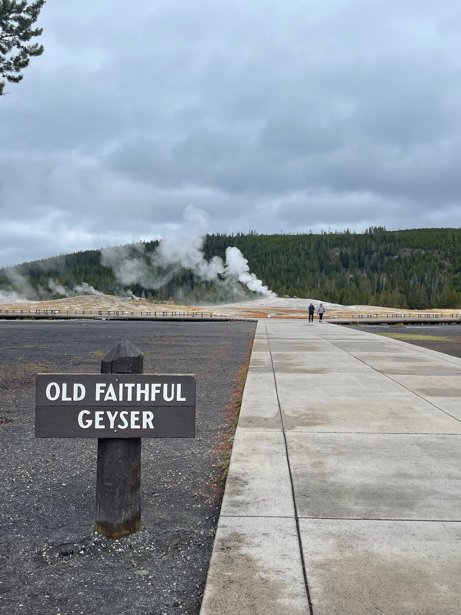
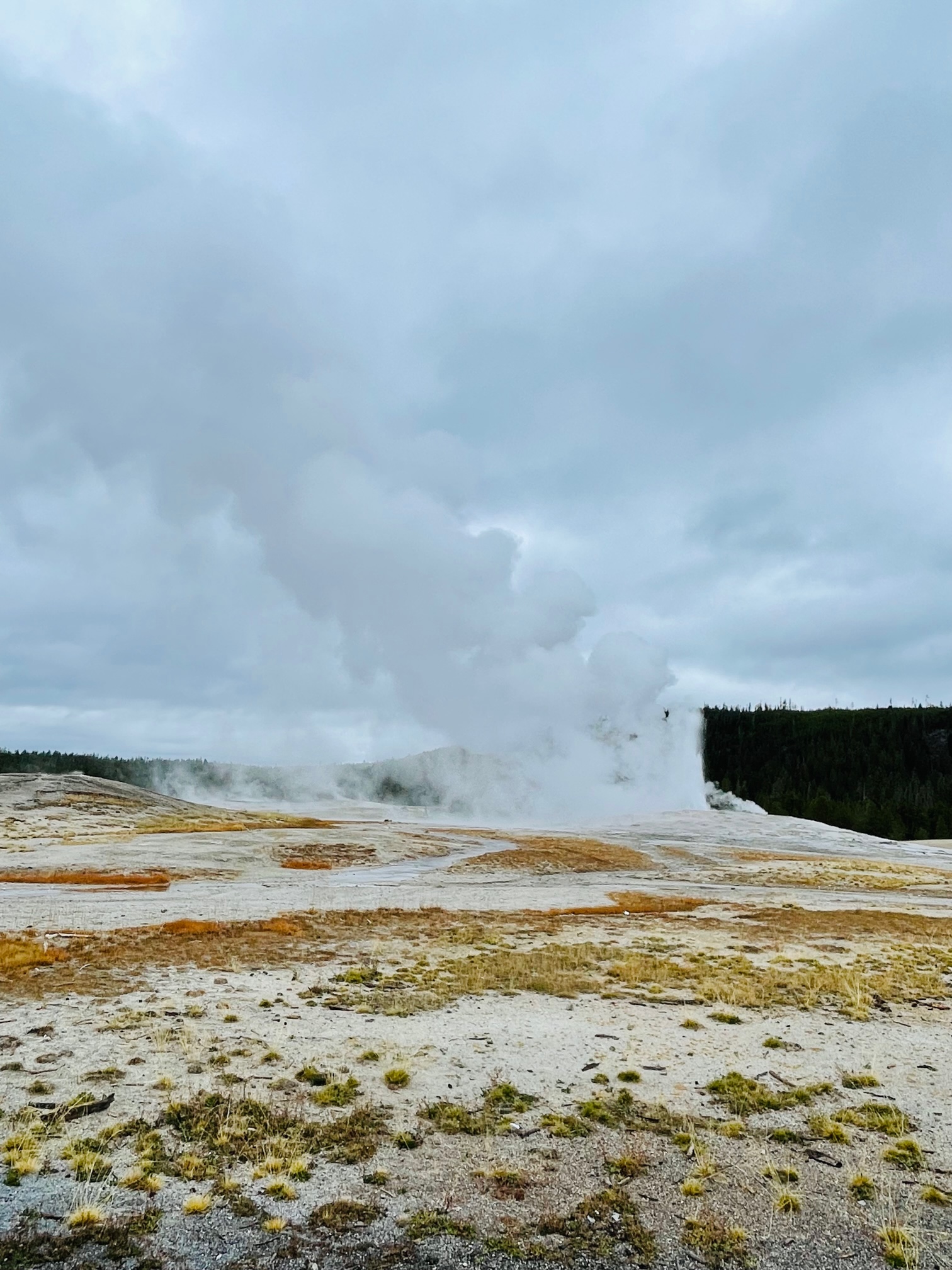
My first major stop was the most famous geyser in the world and 1 of 500 geysers at Yellowstone: Old Faithful, which erupts about every 35 minutes to 2 hours! That’s a long time to wait! Luckily, on the Yellowstone NPS page, they have a section that predicts when it will erupt next, which can reach from 130 to 140 feet high! I didn’t check it that day but I was very lucky – I mean super lucky – that I coincidentally got there 20 minutes before it erupted! I know I already mentioned above to visit my Instagram page for all of my trip videos, but this one is a must watch under the “Yellowstone” highlights!
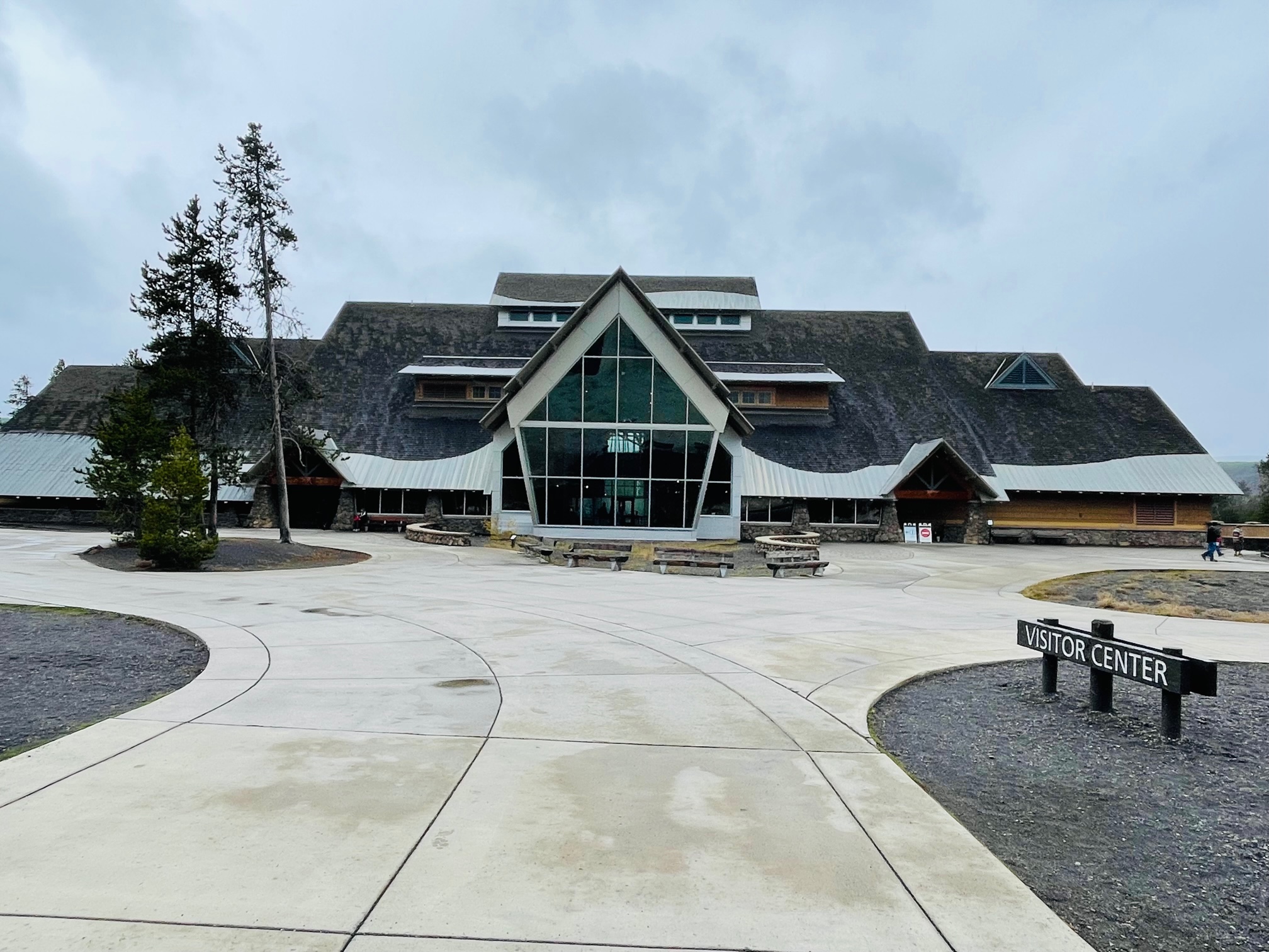
I also stopped at the Old Faithful Education Visitor Center to learn more about the geysers and to purchase some souvenirs: Old Faithful magnet and small plush black bear to join my squad on my bed at home.
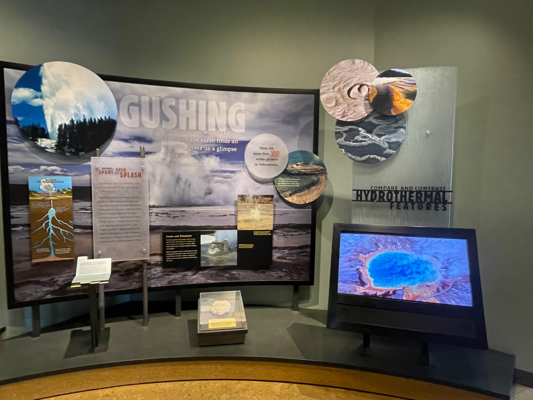
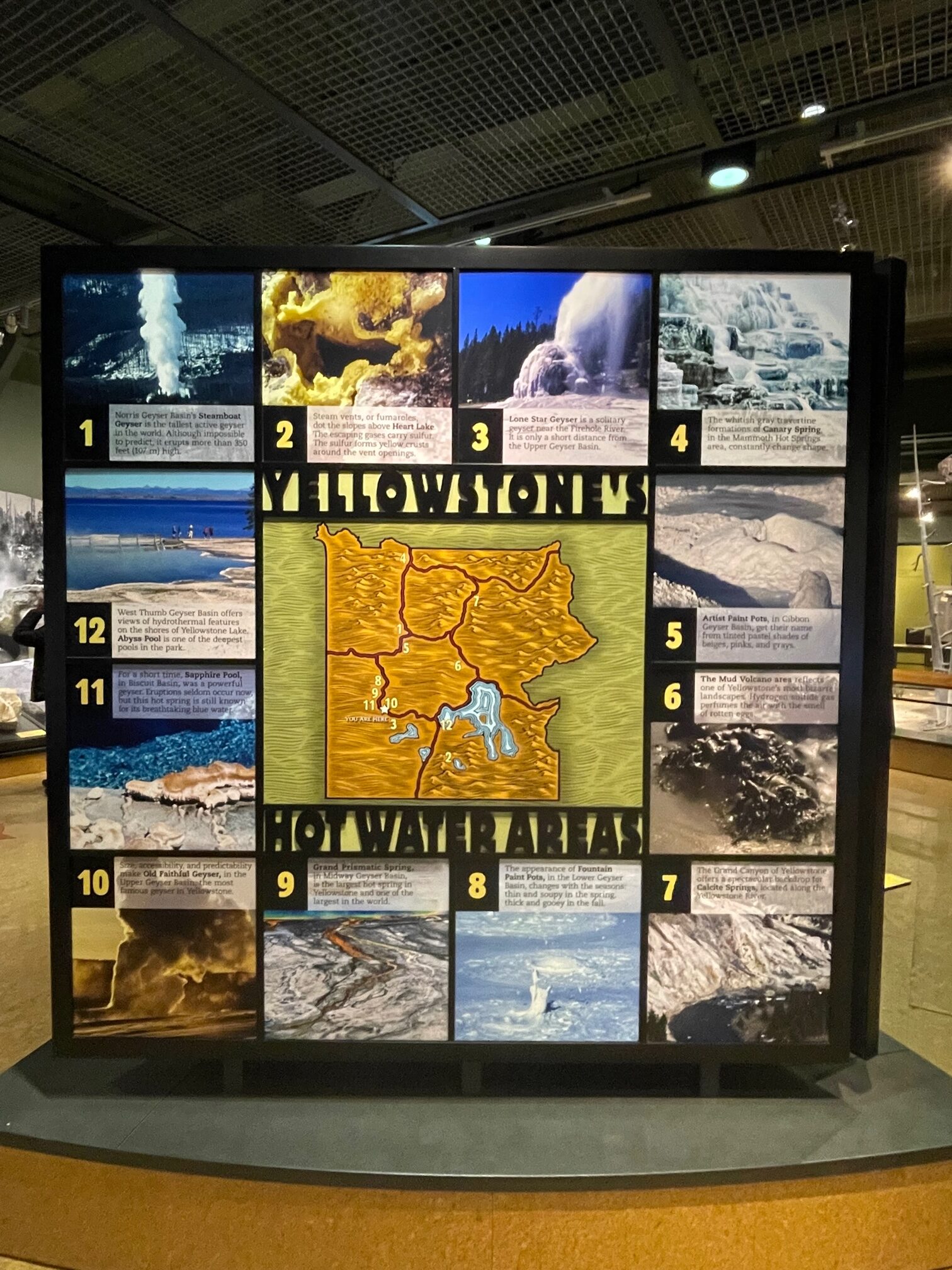
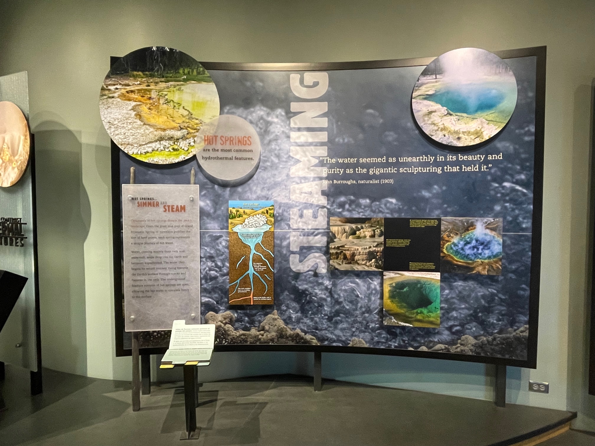
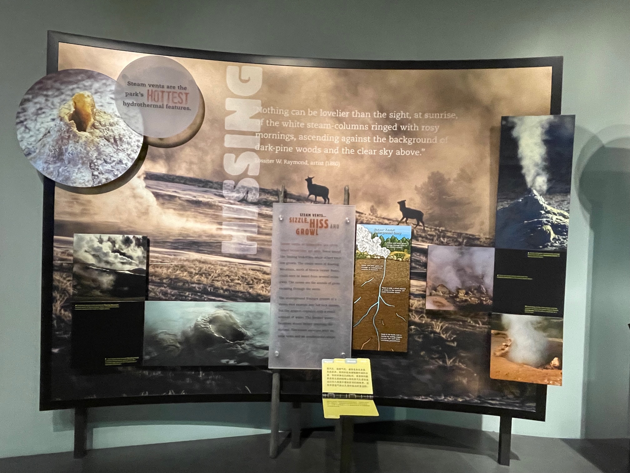
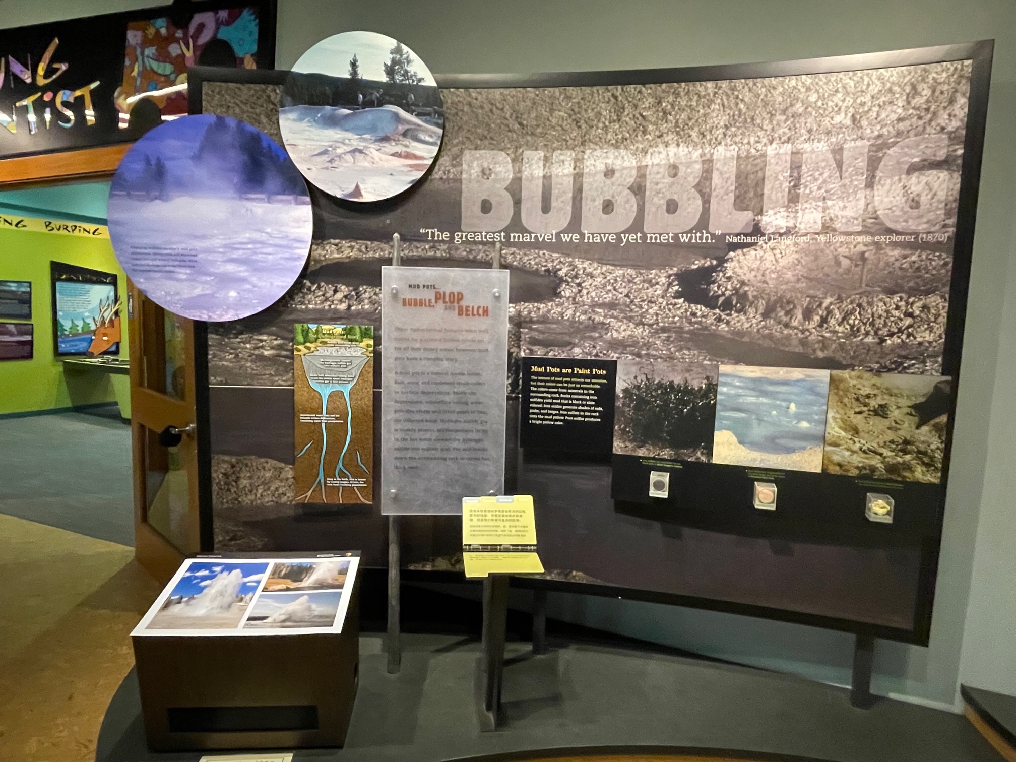
Here’s the thing guys: throughout my whole trip of the park, there were so many different geysers that it was hard to keep track of which ones were which. I apologize but they literally looked the same after awhile, plus I had a huge territory to cover with this park! I know for a fact that I visited the the Upper Geyser Basin and the Midway Geyser Basin along with many I saw on the side of the roads. Remember that there are hundreds in the park (especially on the west end!)! So I apologize if I cannot name them correctly but later in the blog I do remember toward my drive to the east end the exact names.
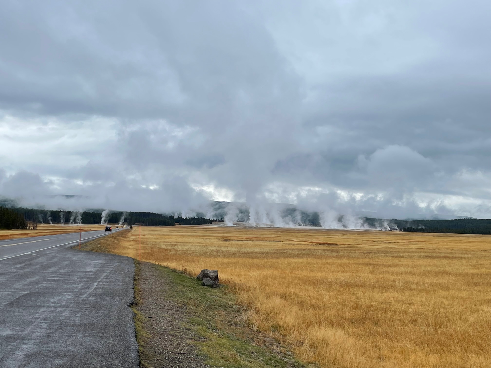
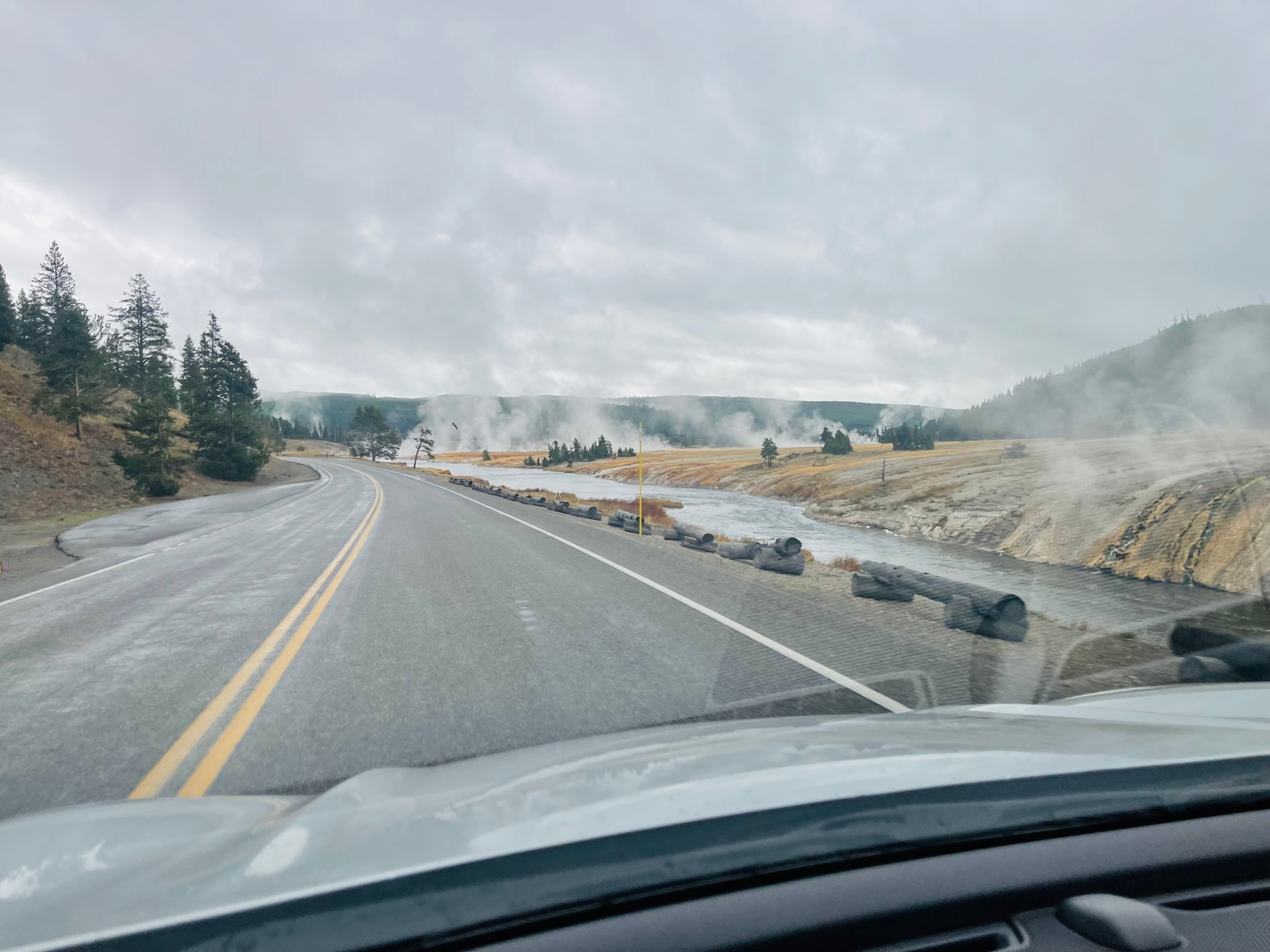
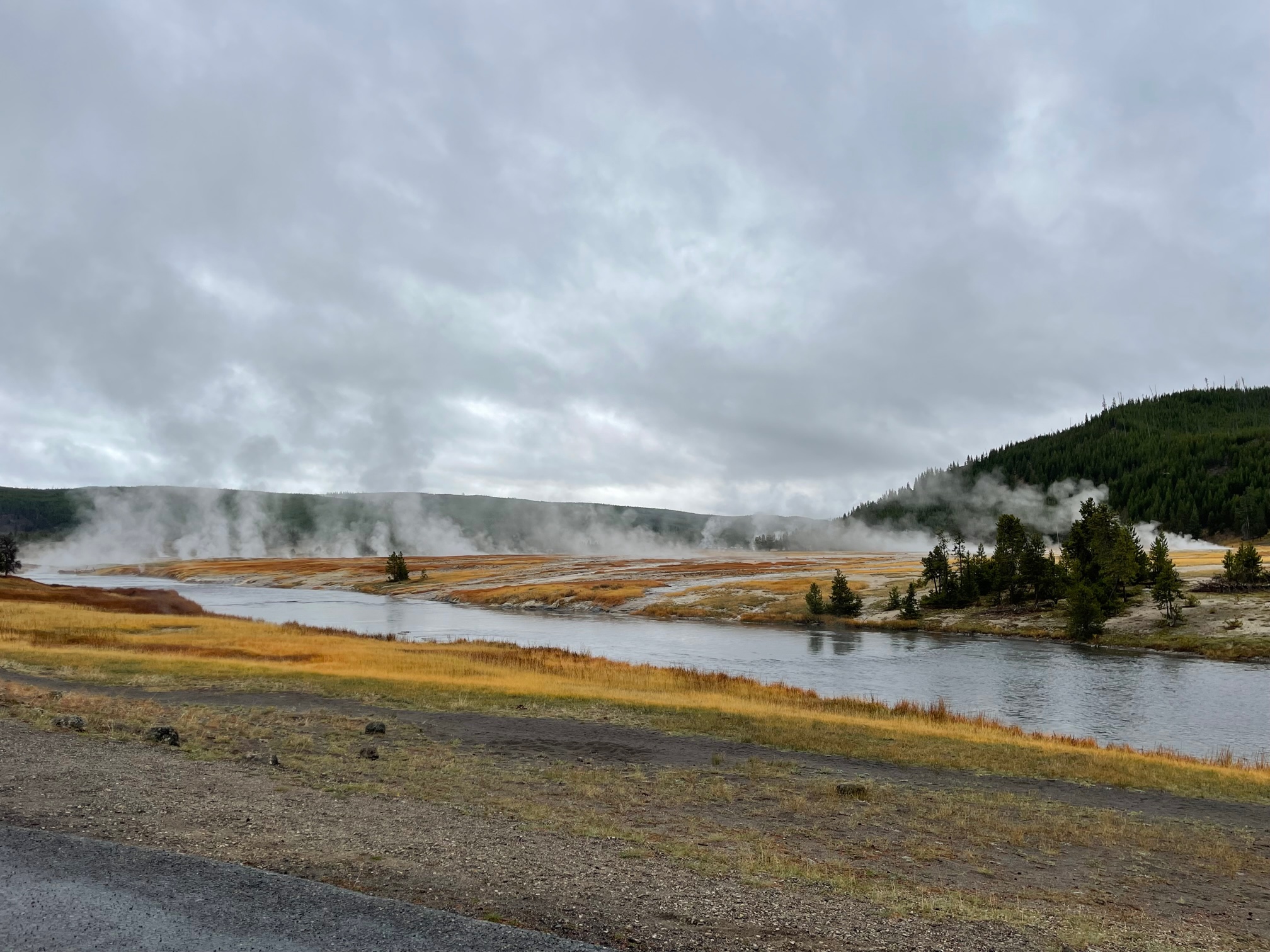
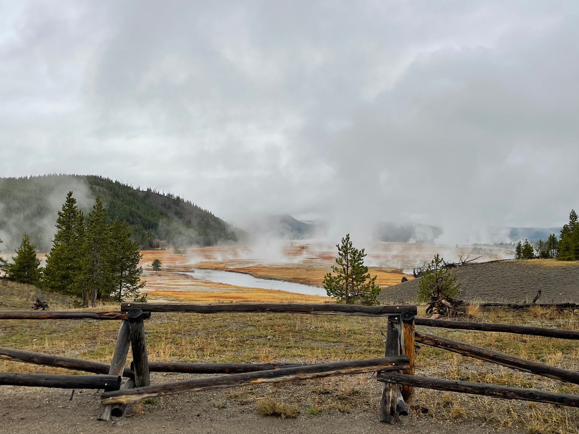
Something I did not have a chance to see what the Grand Prismatic Spring, the park’s largest hot spring at 370 feet long and 121 feet deep. Because it was so cloudy and steamy, you could not make out the colors at all. The best time to view this is in the summertime! You can Google it and see what it looks like.
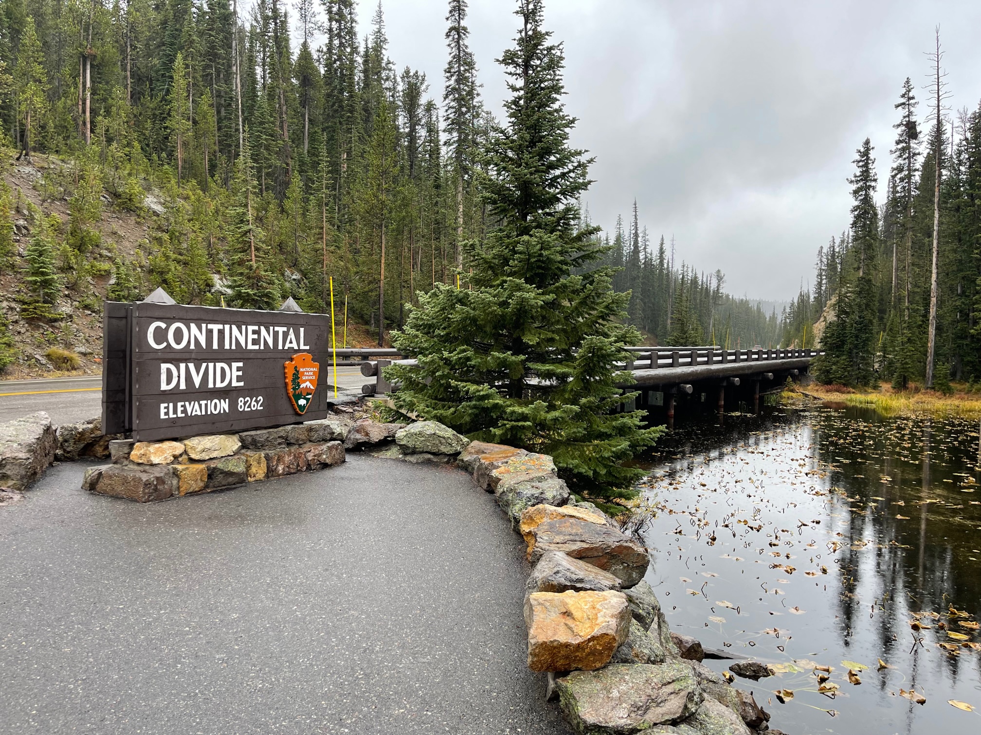
After I left the many geysers (for now), I stopped at the Continental Divide, where one side of the water flows into the Pacific Ocean and the other side flows into the Gulf of Mexico.
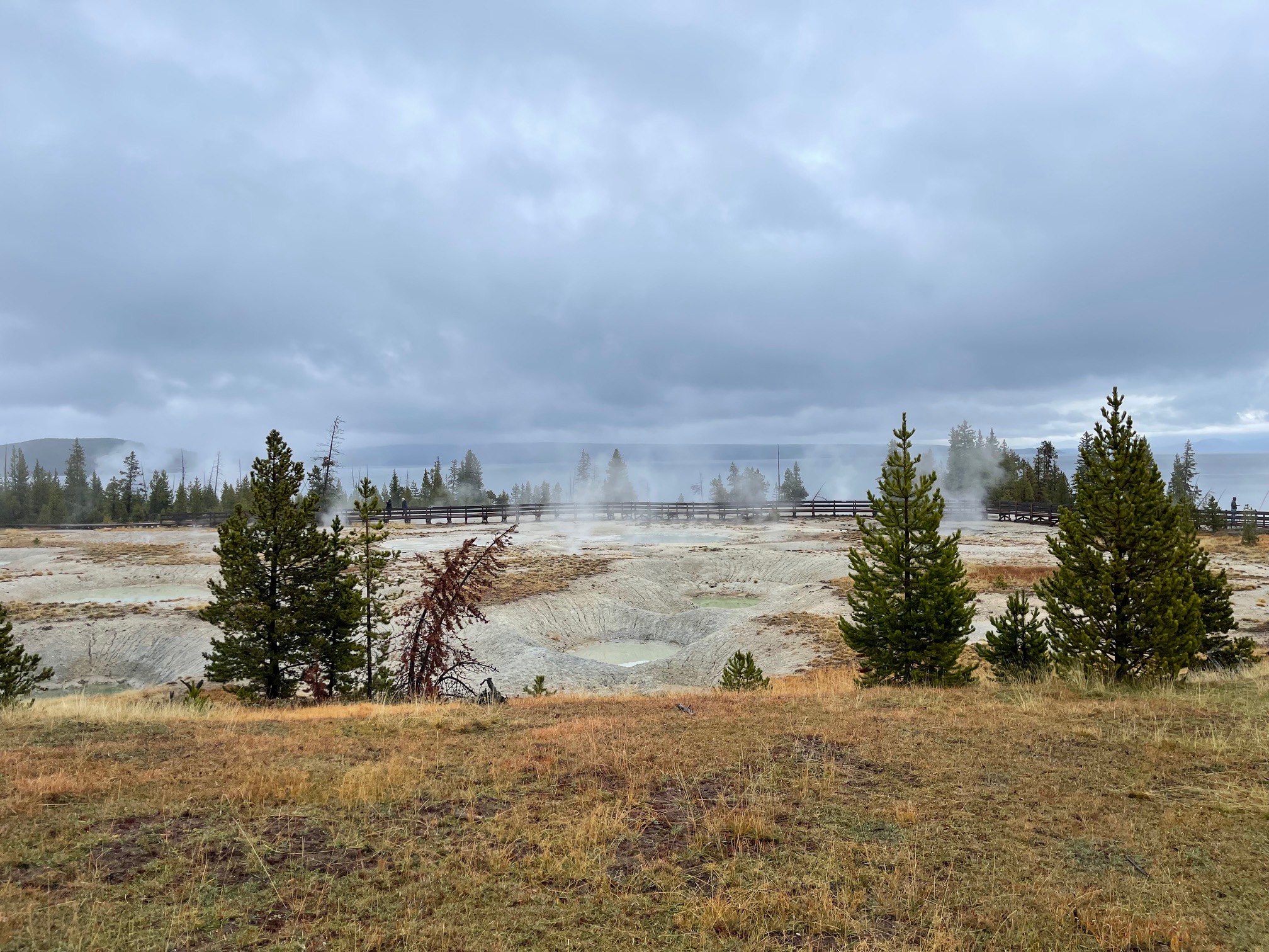
Next I stopped at the West Thumb Geyser Basin with many of the geysers resting in fishing cones. The basin also overlooks Yellowstone Lake!
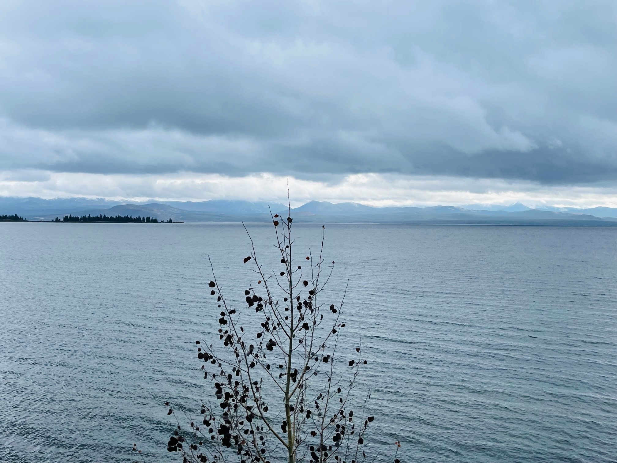
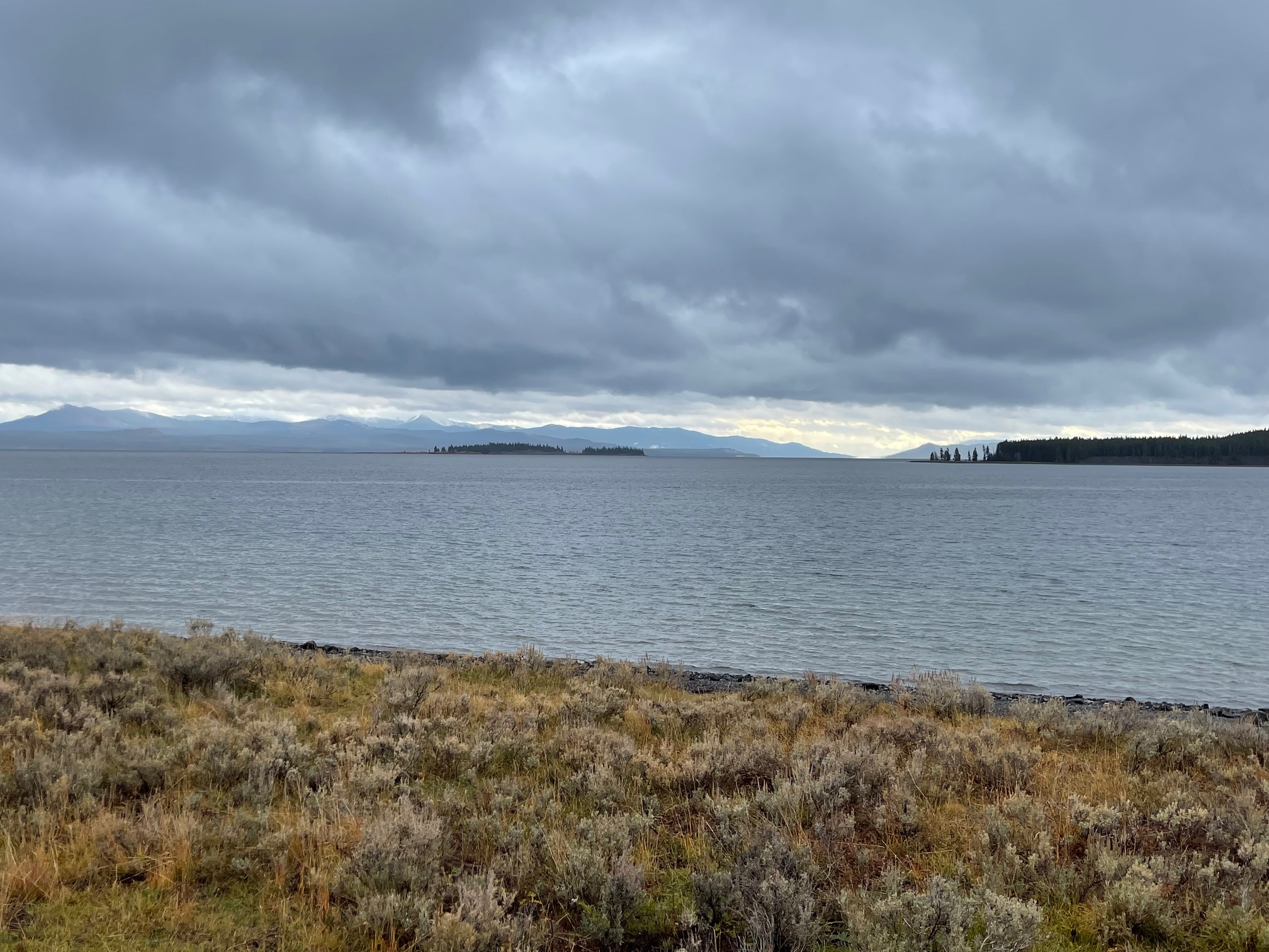
Of course, I stopped off at some overlooks to view Yellowstone Lake, which is the highest elevation lake in the U.S. at 7,000 feet and has a temperature of 41 degrees Fahrenheit, so it’s pretty cold!
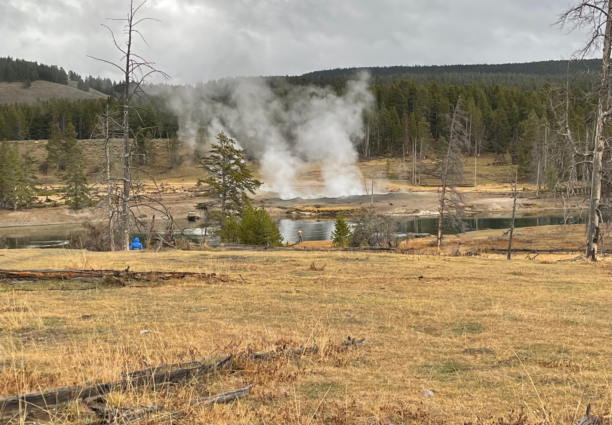
Next I went to the Norris Geyser Basin, which is Yellowstone‘s oldest and hottest thermal area at 459 degrees Fahrenheit!
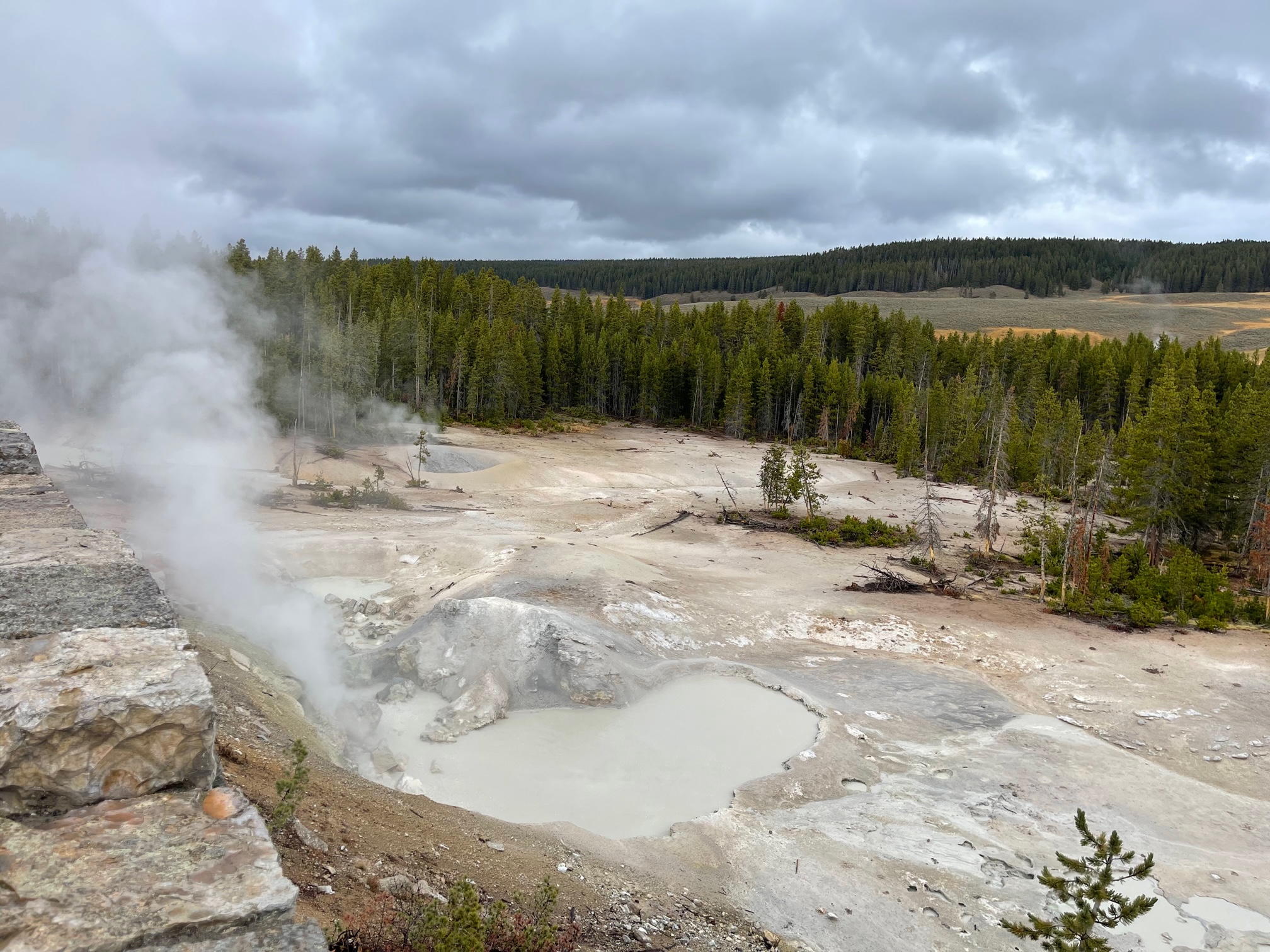
The next geyser I stopped at was the Sulphur Cauldron with the highest acidity out of all the geysers in the park! It also has many mud pots.
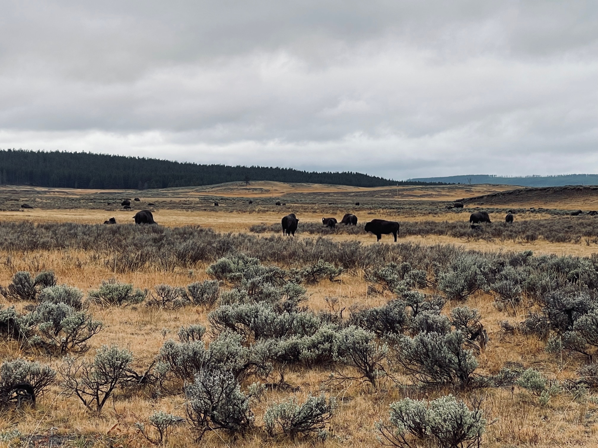
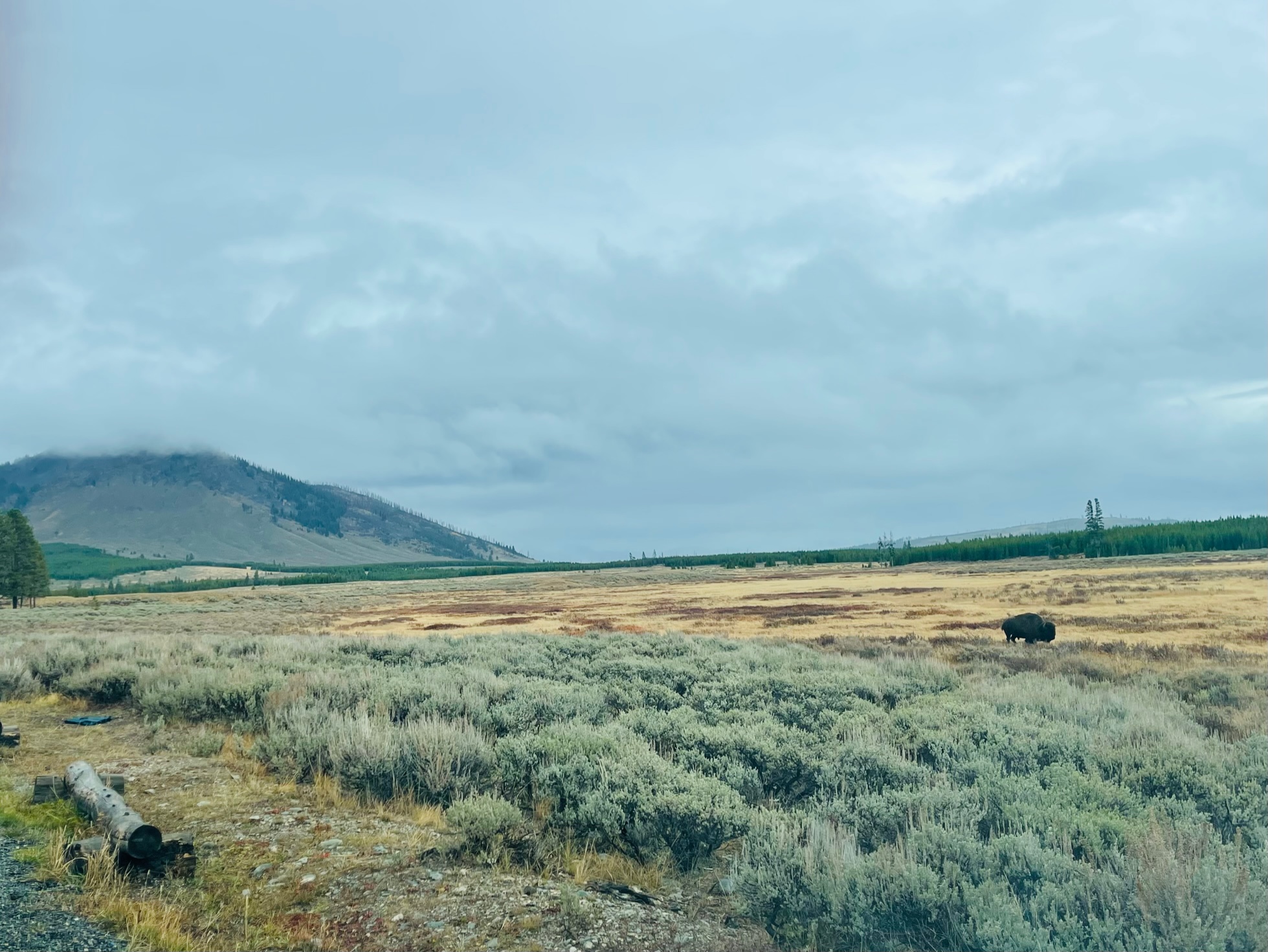
Down the road in the Hayden Valley is where I finally saw bison, I was so excited! They were super chill and mellow in the meadows when I drove by and they were not walking along the road like I had seen in other tourist videos. They are such magnificent creatures!
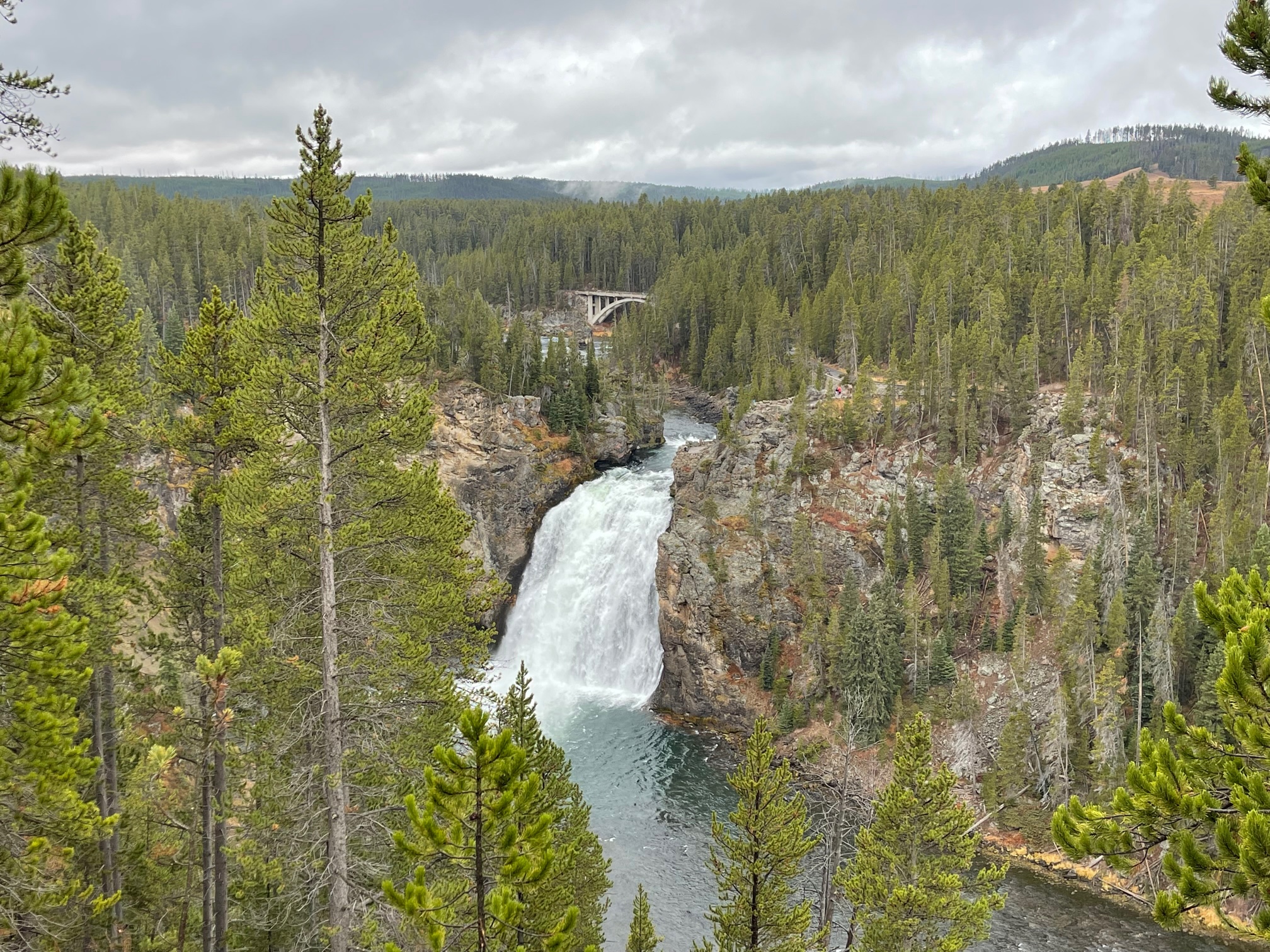
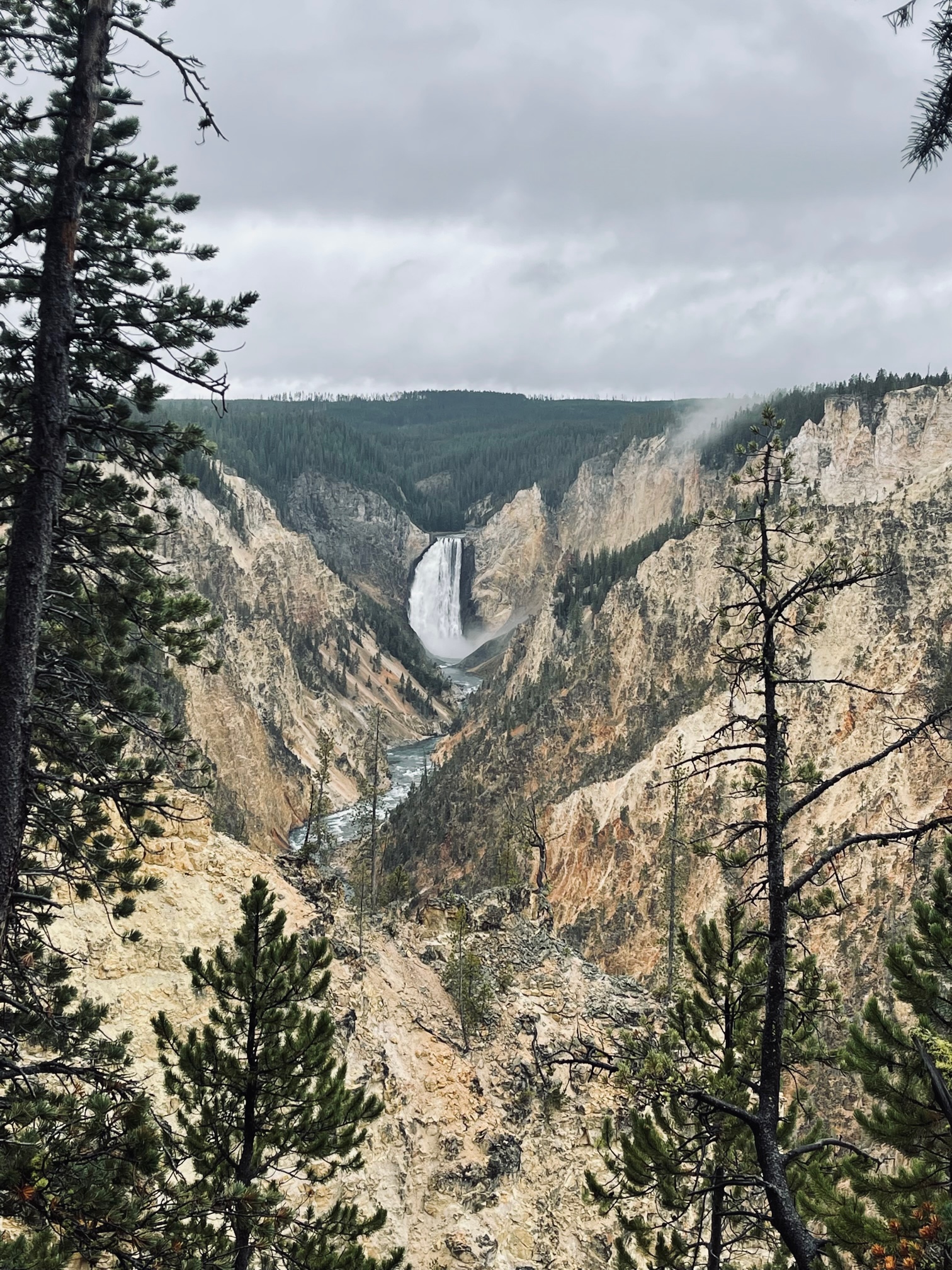
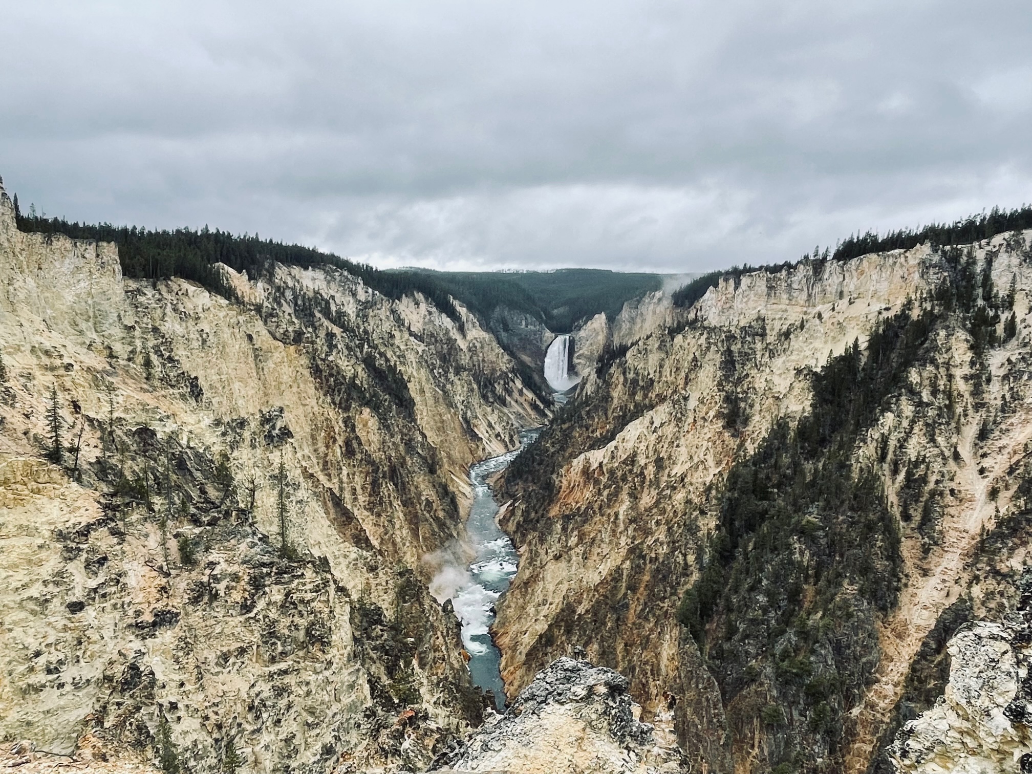
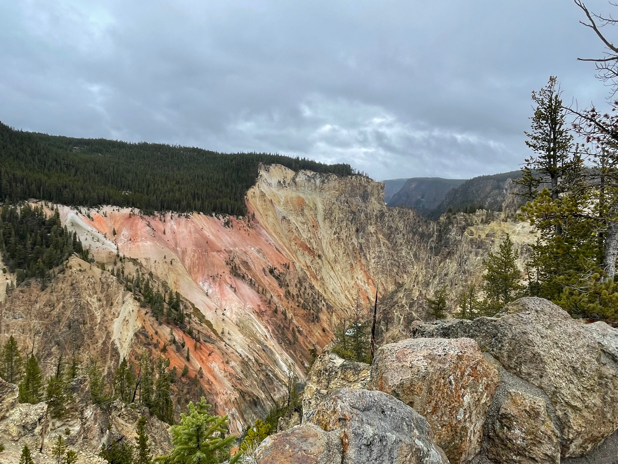
One of my favorite stops was Upper and Lower Falls (aka Grand Canyon of Yellowstone) of the Yellowstone River, which is about 20 miles long with Upper Falls being 109 feet high while Lower Falls is 309 feet. Artists Point is also very colorful with the many minerals in the rocks.
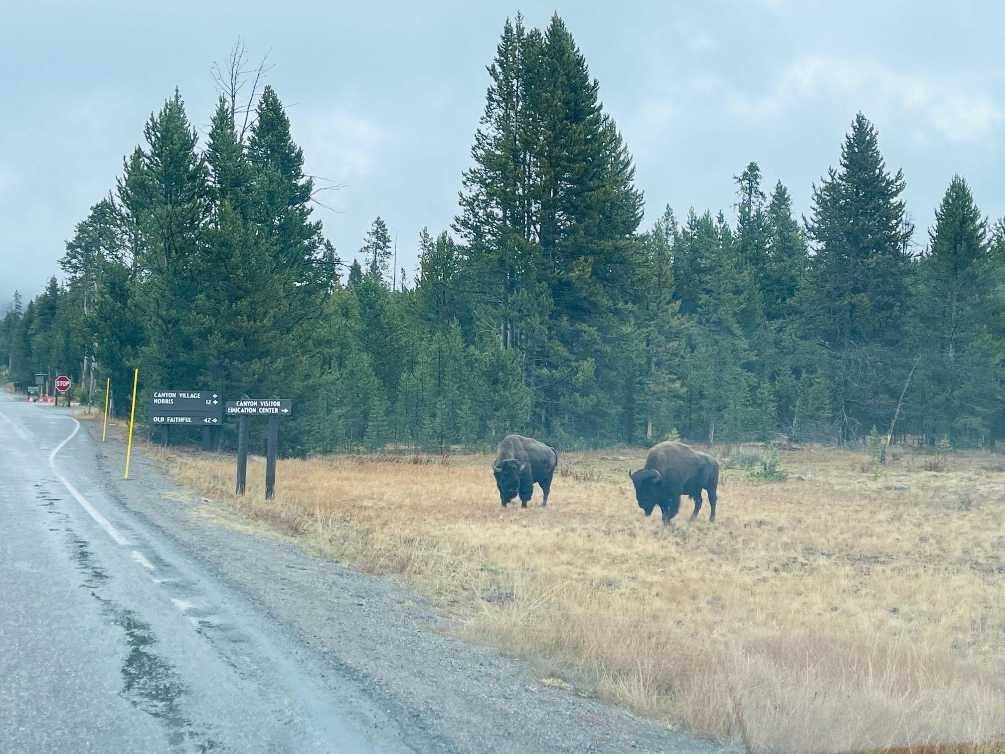
On my way to fill up for gas in Canyon Village I saw a couple more mellow bison.
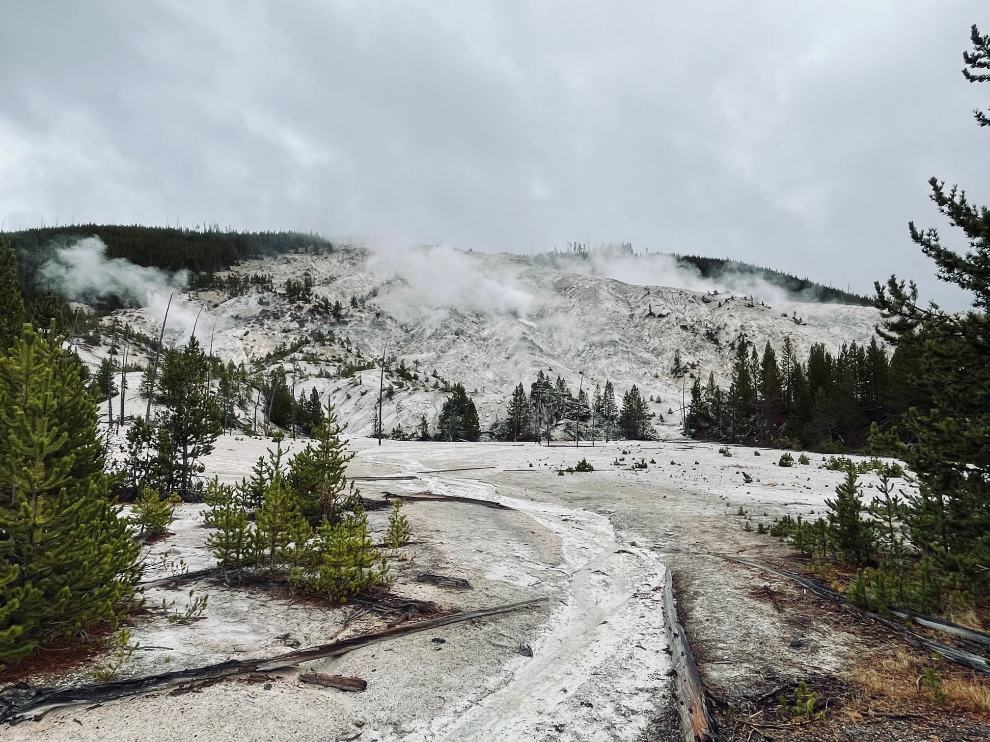
Next I headed west and then north to make my way out of the park. On my way, I stopped at the Roaring Mountain (more like a hissing noise) where I saw some more steam coming from small geysers.
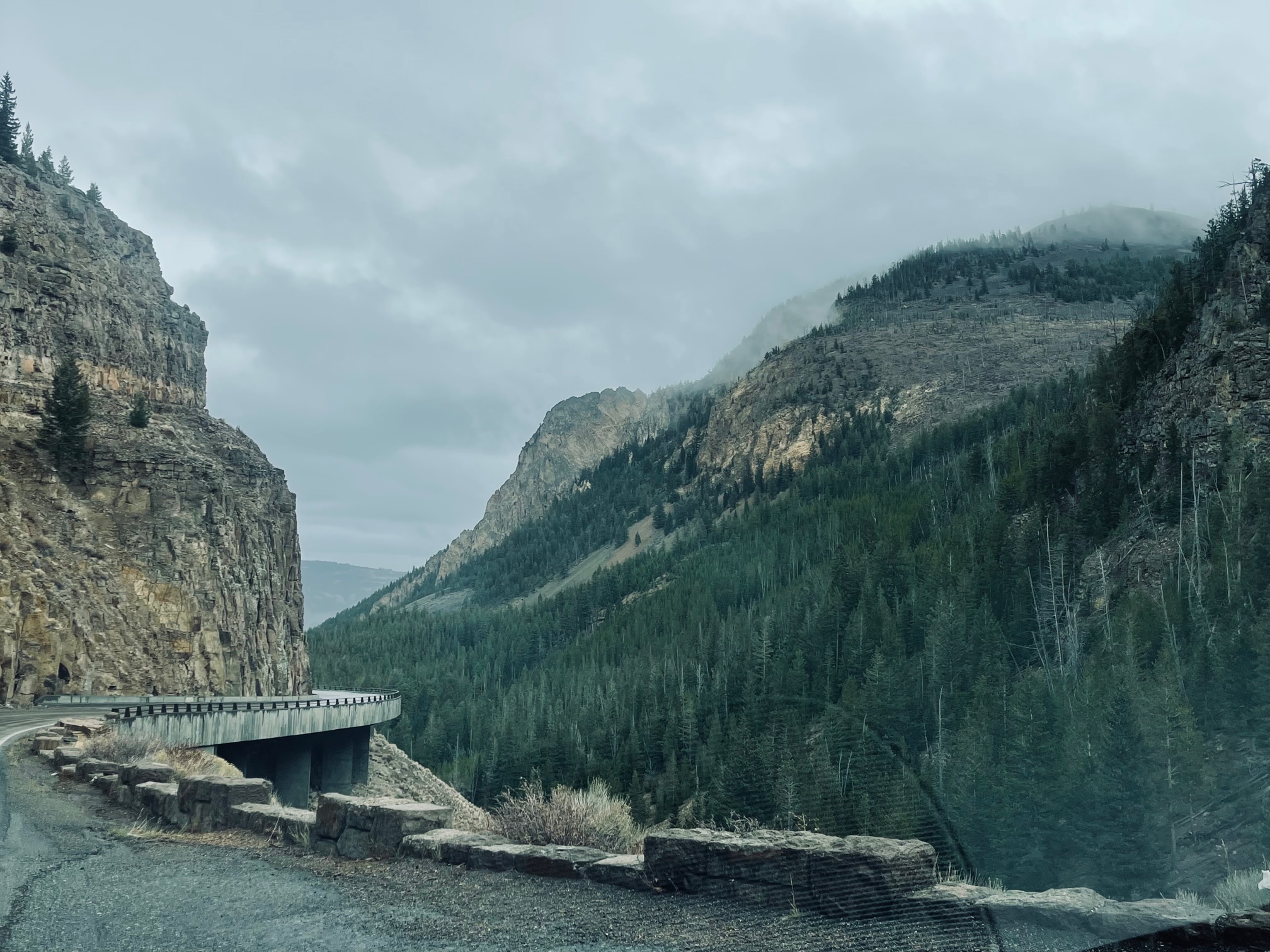
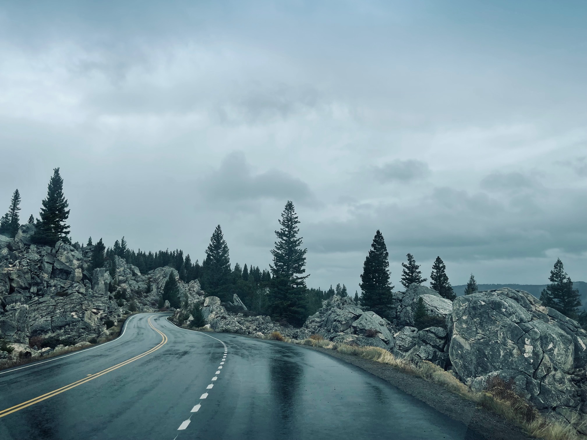
I had to go down some windy and steep slopes as I made my way to Mammoth Hot Springs. I also got an iconic shot of a bison with a mountain in the background.
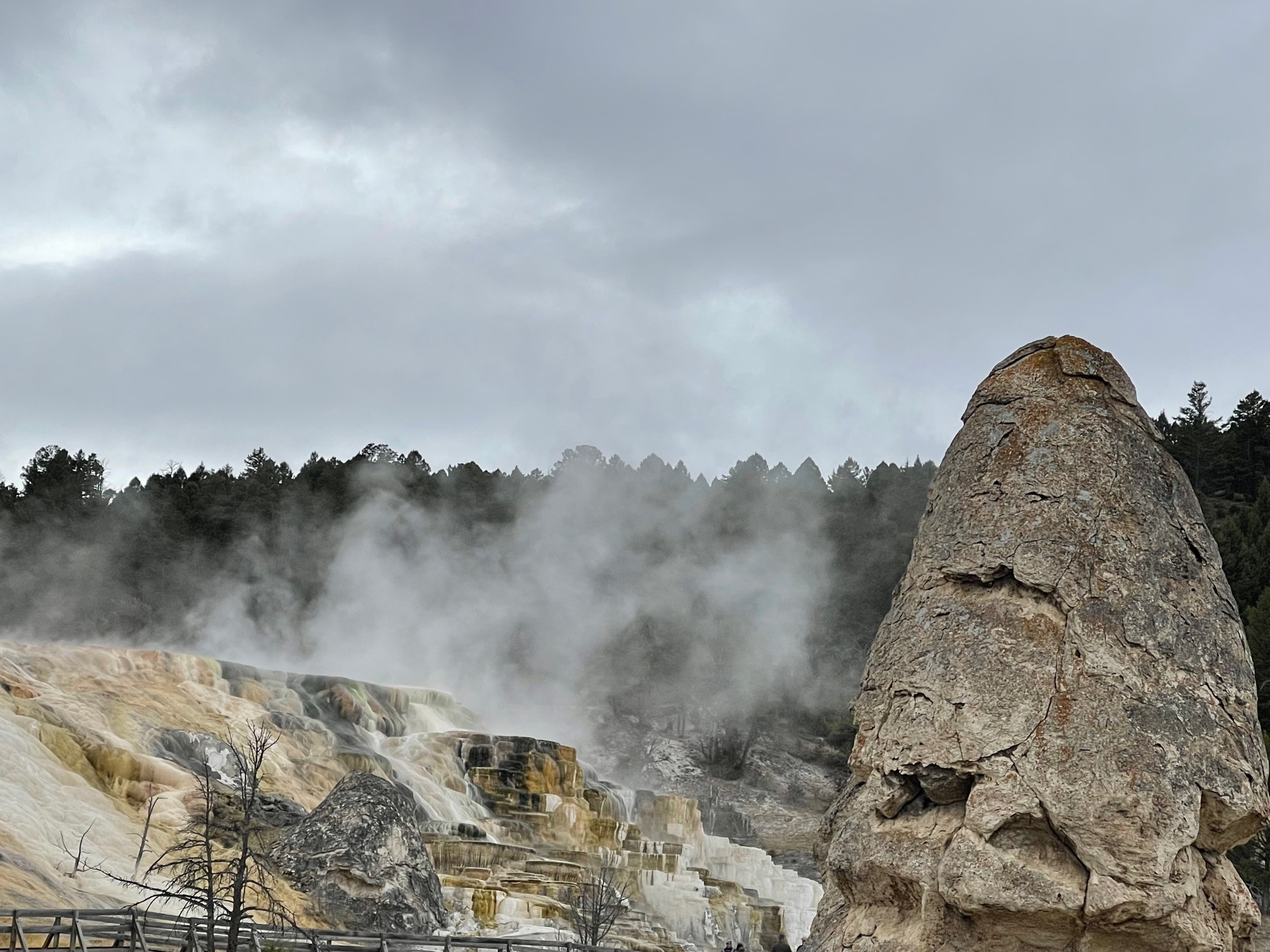
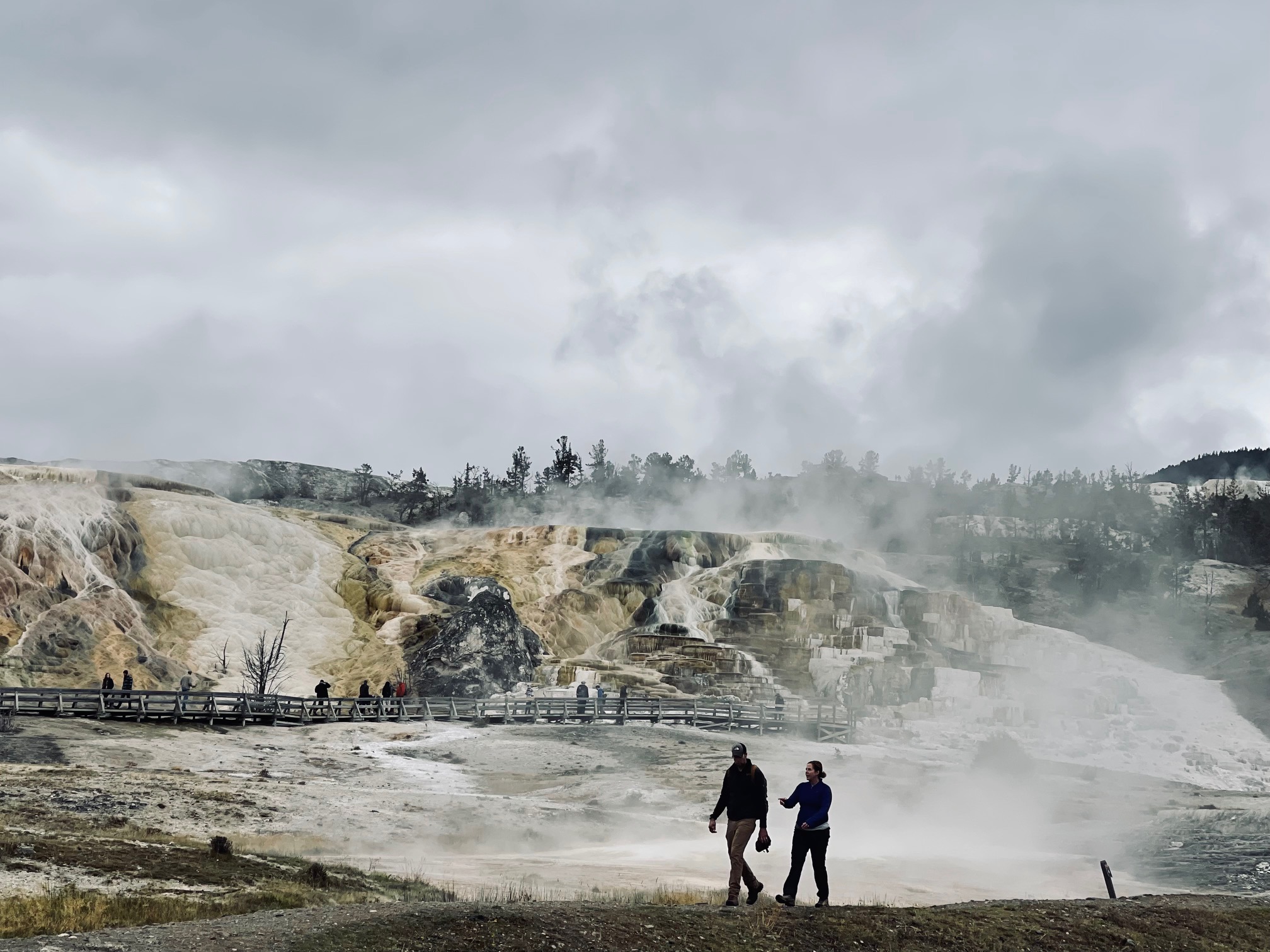
Once in Mammoth Hot Springs, I snapped some photos of the hot springs surrounded by different minerals of rock.
A friend had told me to see Lamar Valley, but I couldn’t see the whole stretch due to lack of time. I did, however, manage to get some shots along with elk. I saw one male and ton of females on different ends. I was warned that it was elk rutting season but the elk were incredibly calm…just like the bison!
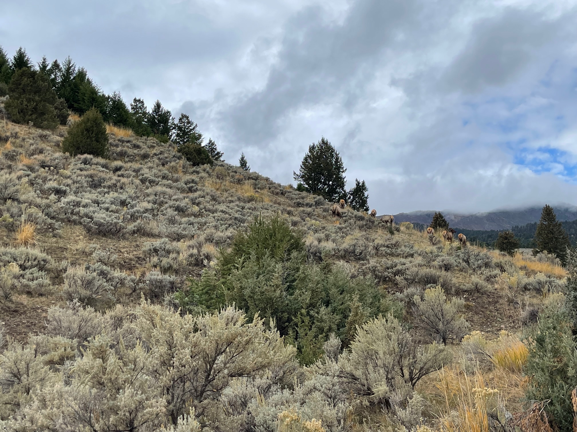
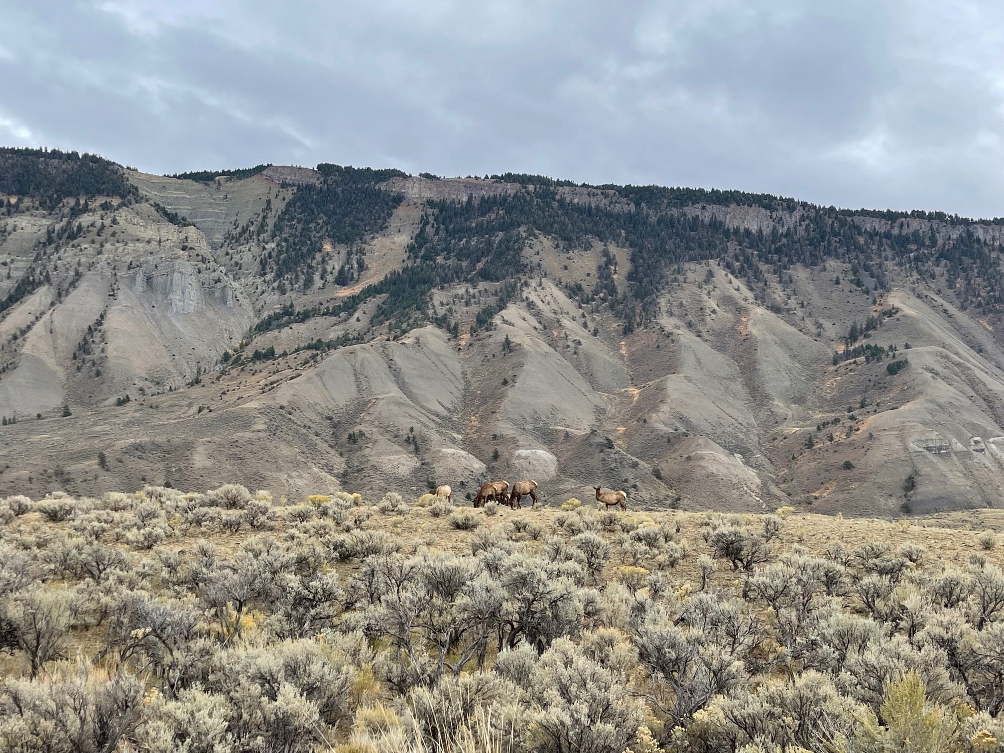
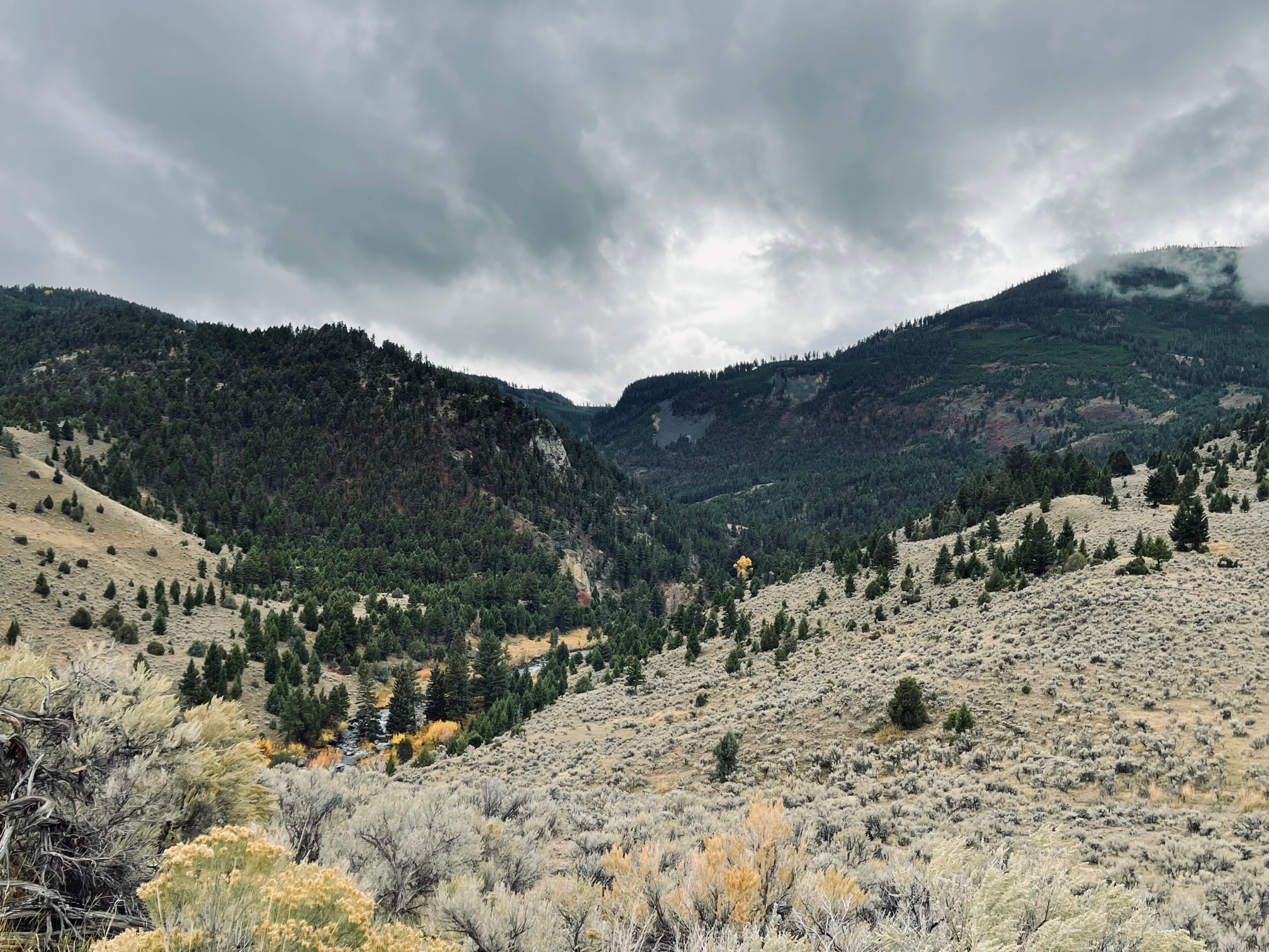
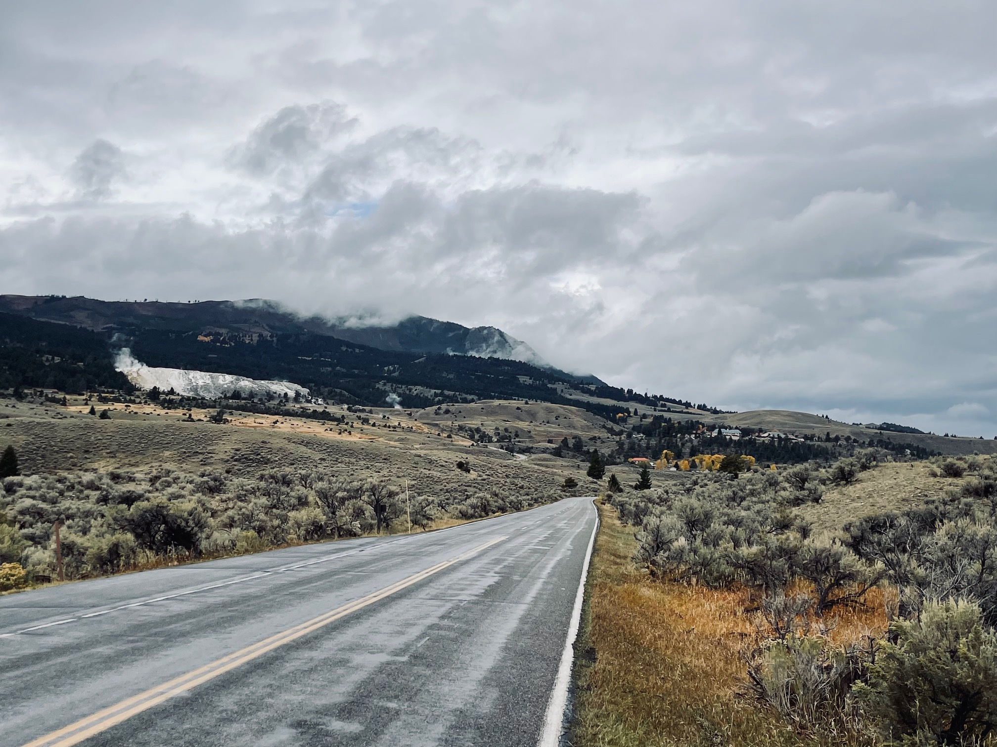
Not too far from exiting the park I saw a peaceful cross on the side of the road and I finally snapped some photos of the Yellowstone River, which is 671 miles long! I also saw this interesting point called the 45th Parallel of Latitude, which is an imaginary line that sits halfway between the Equator and the North Pole.
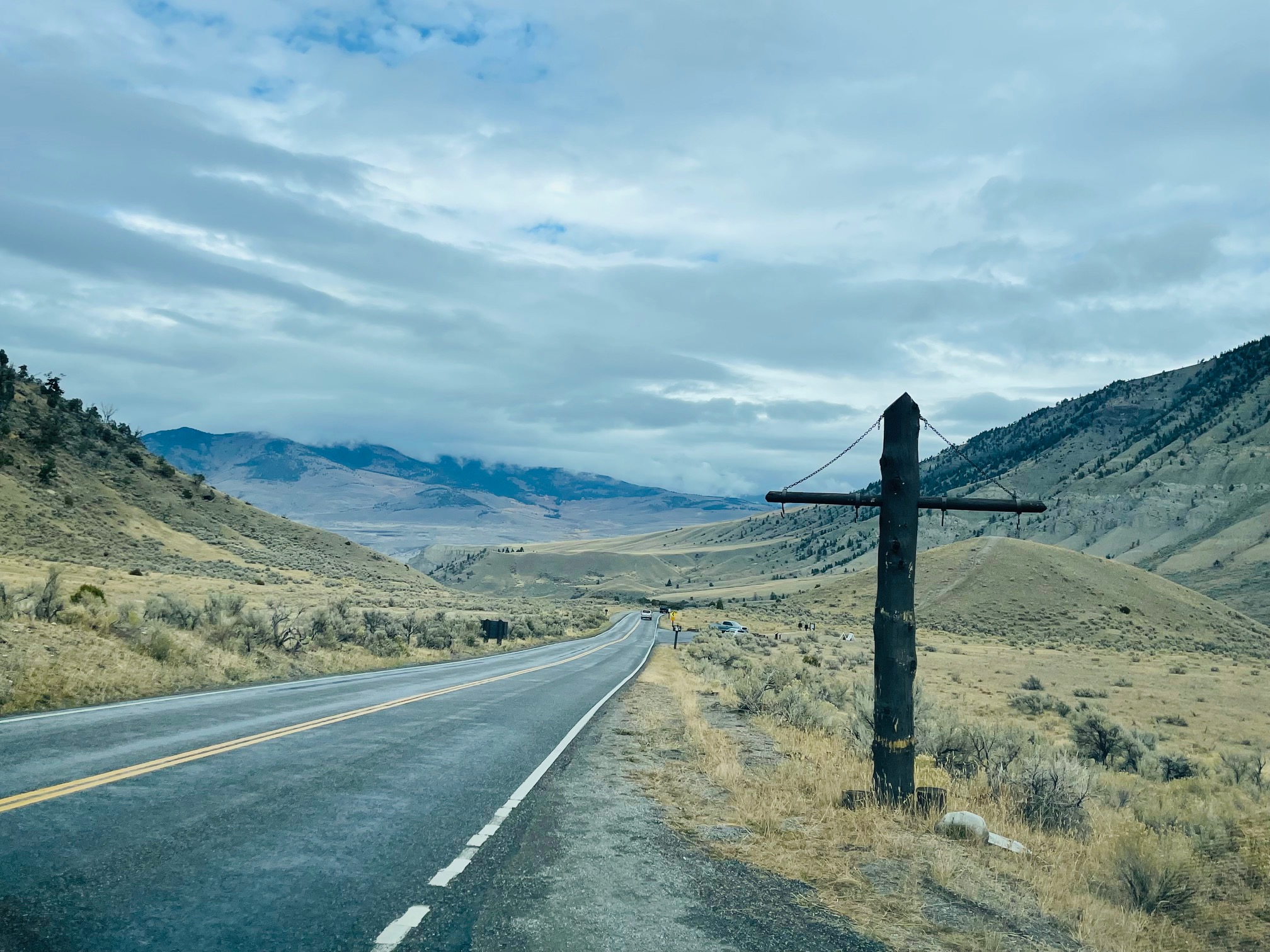
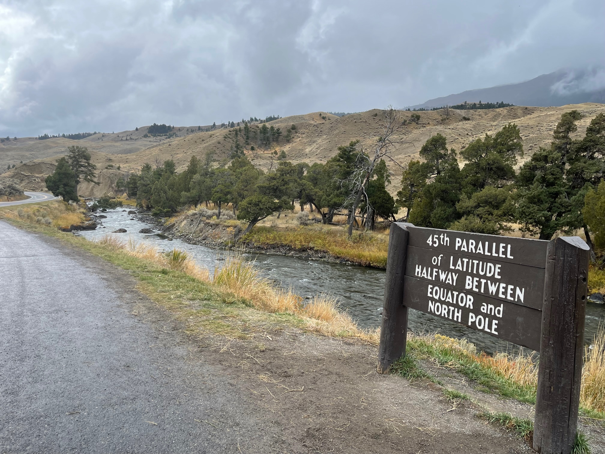
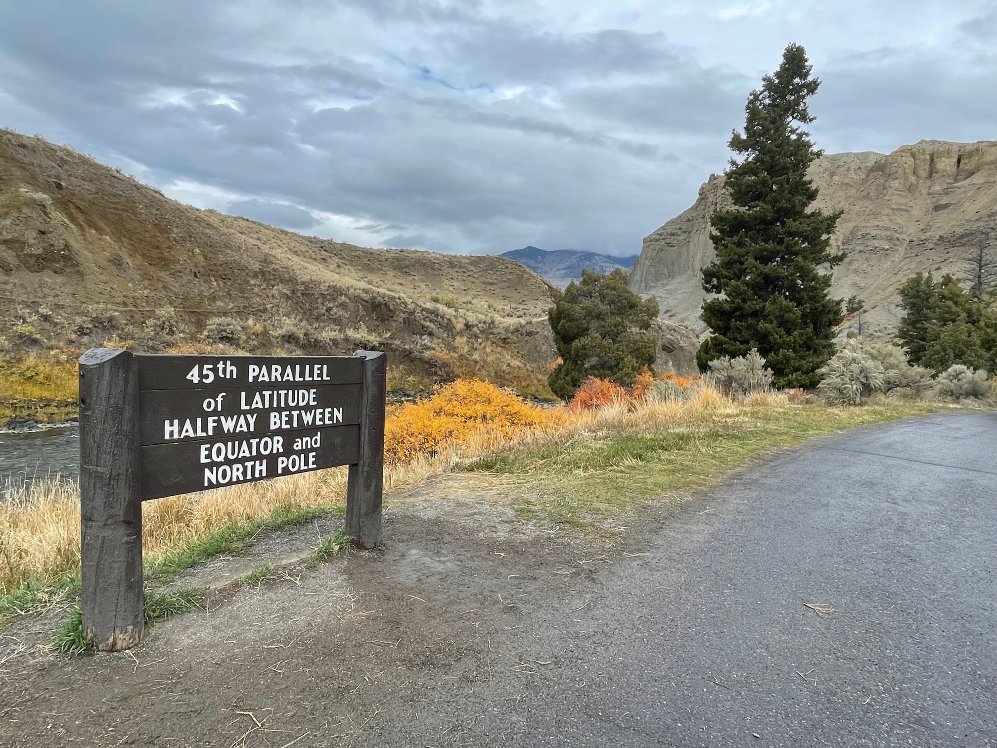
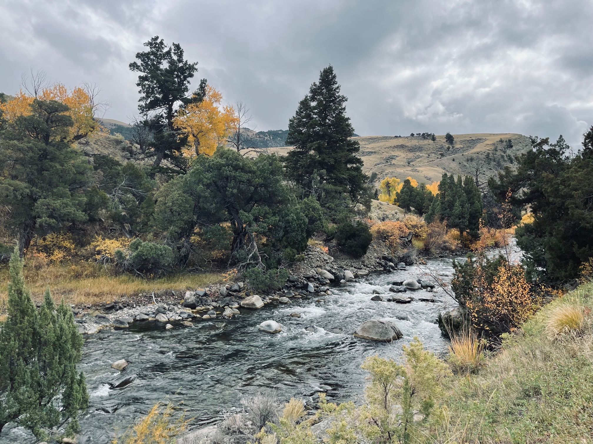
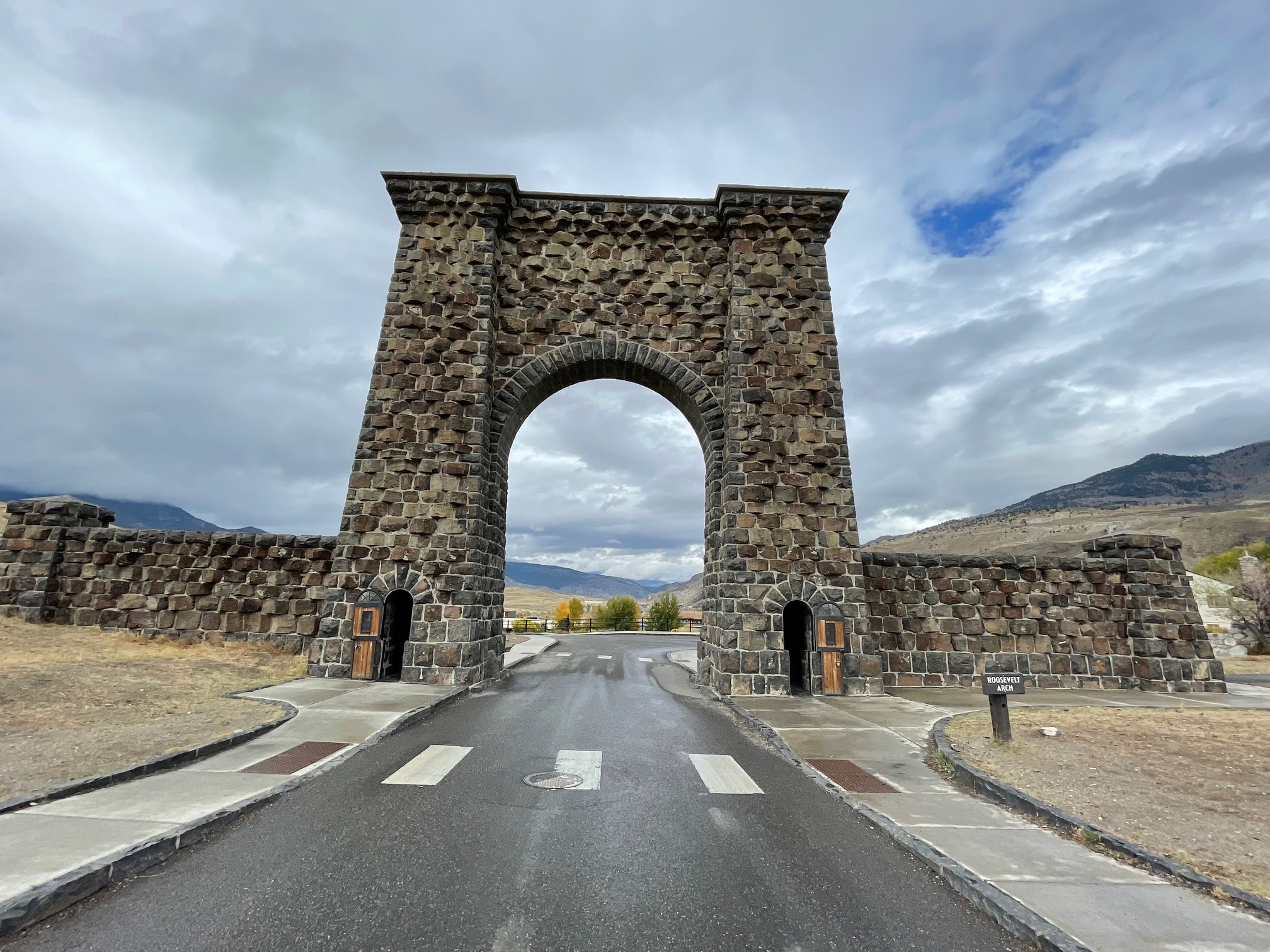
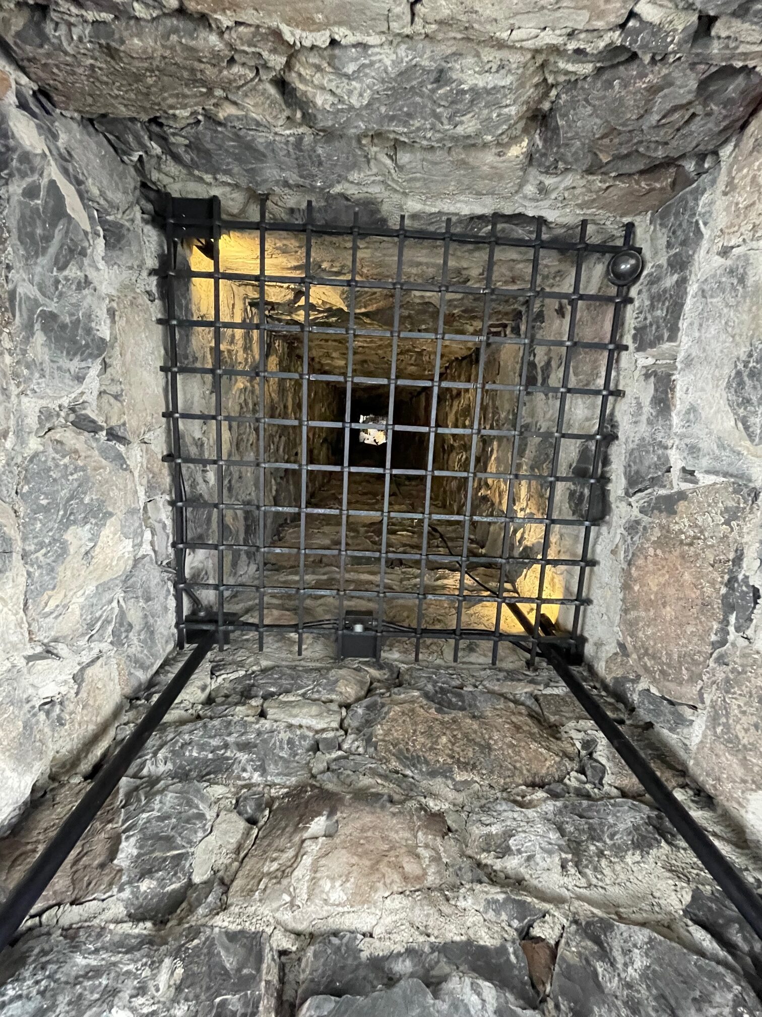
On the far north end of the park, I finally headed out of the iconic Roosevelt Arch in Gardiner, MT, which is named after President Theodore Roosevelt. Roosevelt was vacationing in the park in 1903 and laid down a cornerstone to begin the construction of the arch.
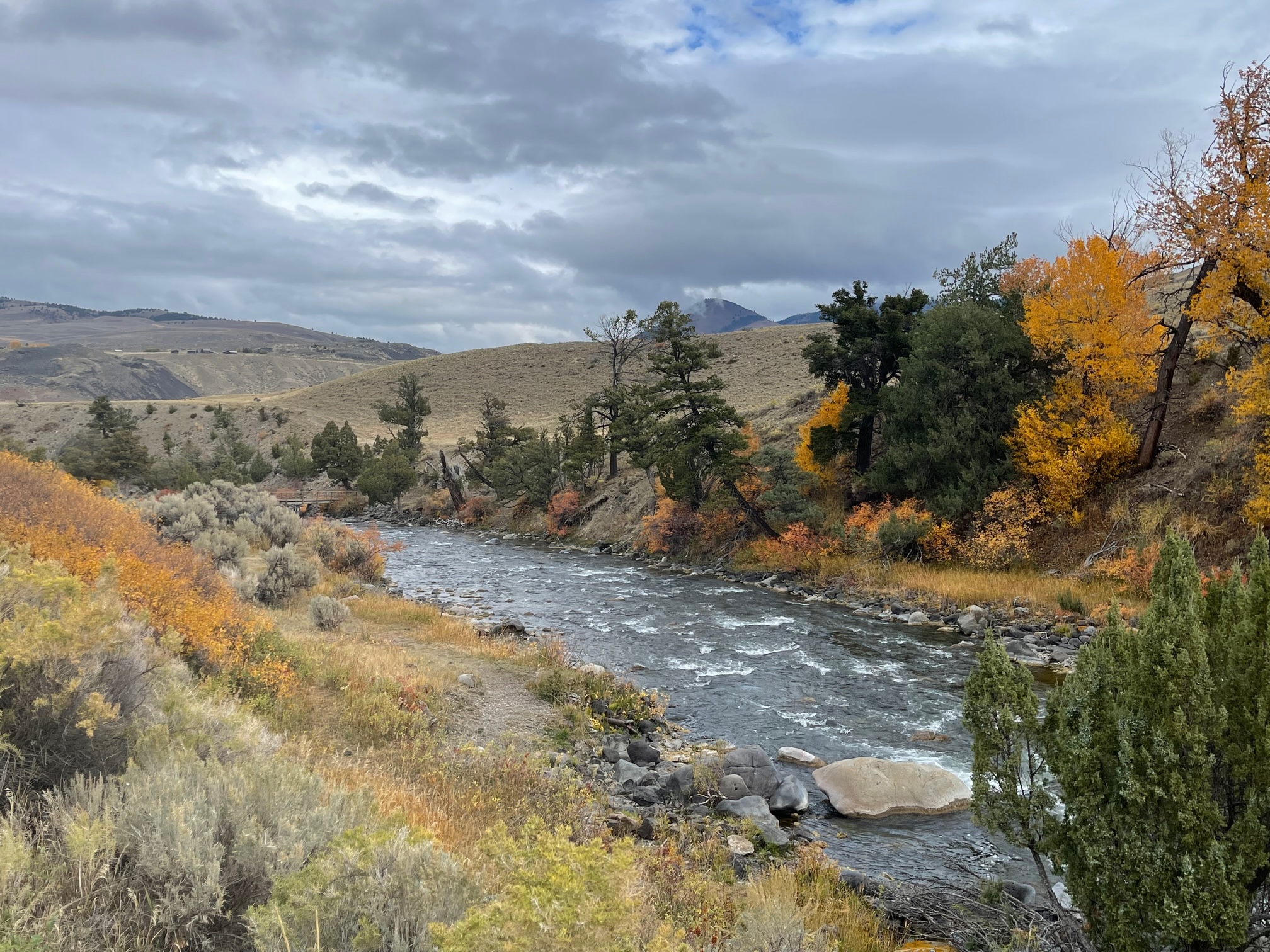
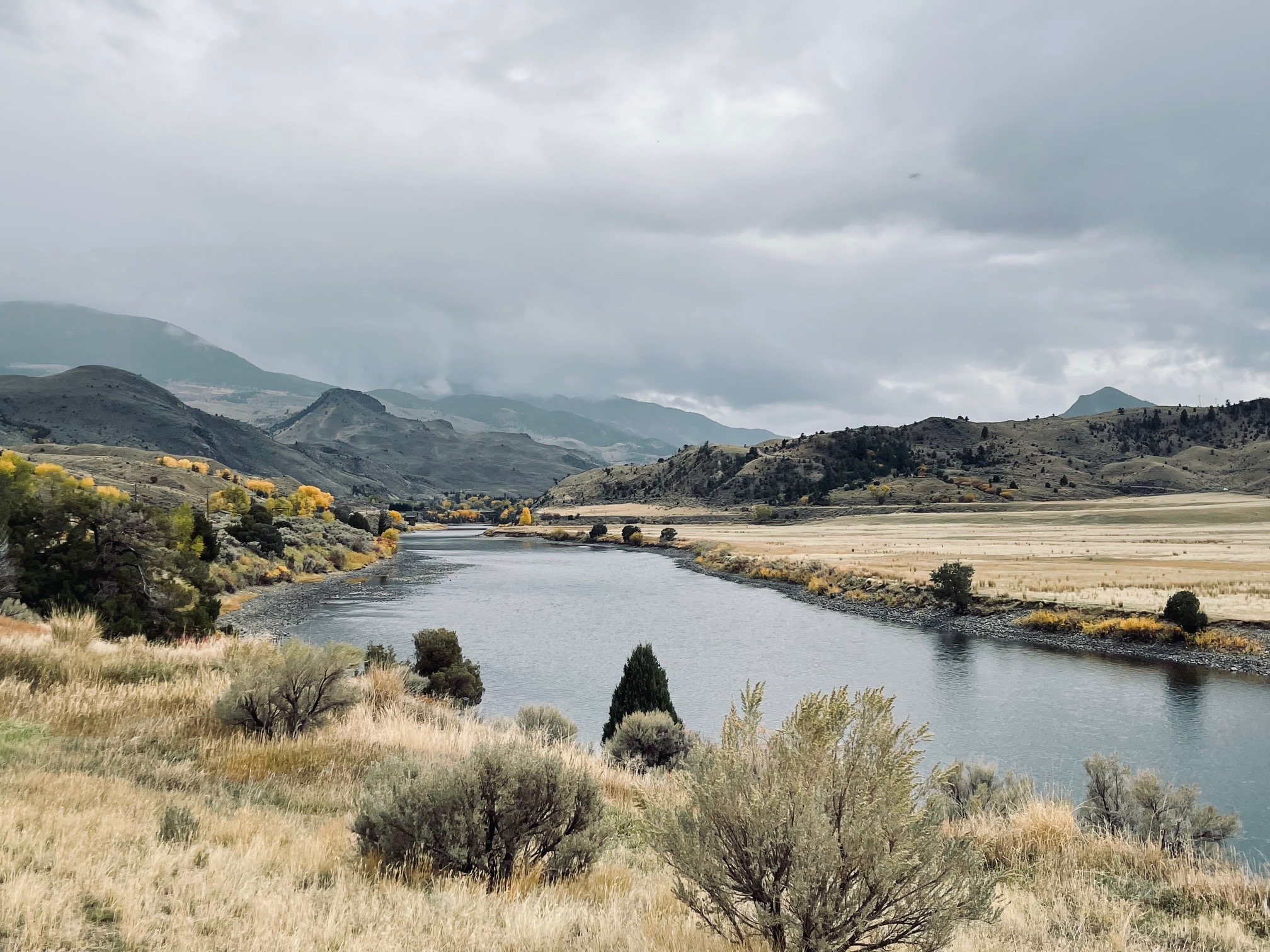
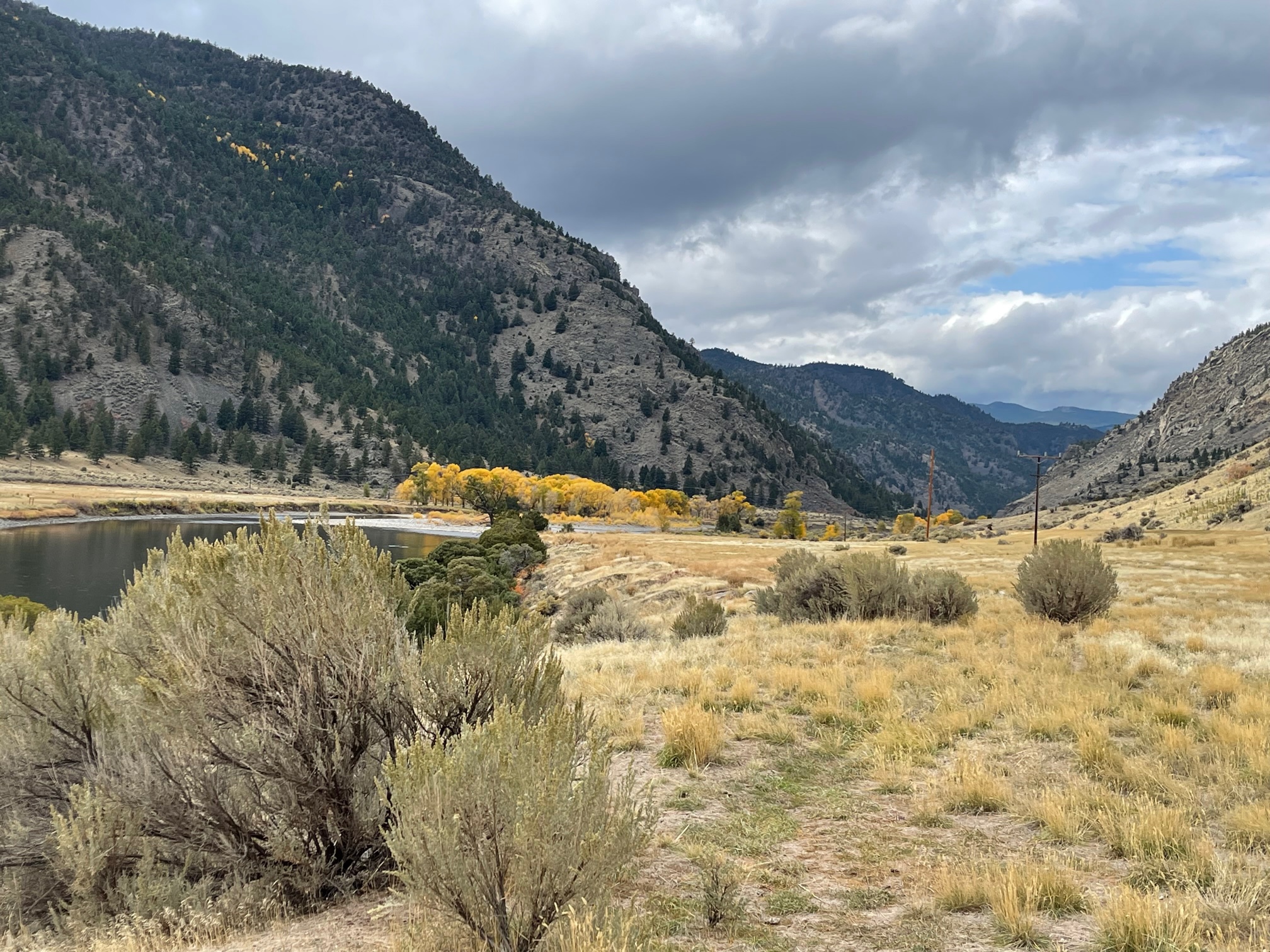
It was then time to play my favorite game of “what is open so I can get some food!” Answer: nothing in Gardiner, MT outside of the park! So I Googled a brewery about a hour north in Livingston, MT to check out. But before I got there, I took some scenic photos in Gardiner.
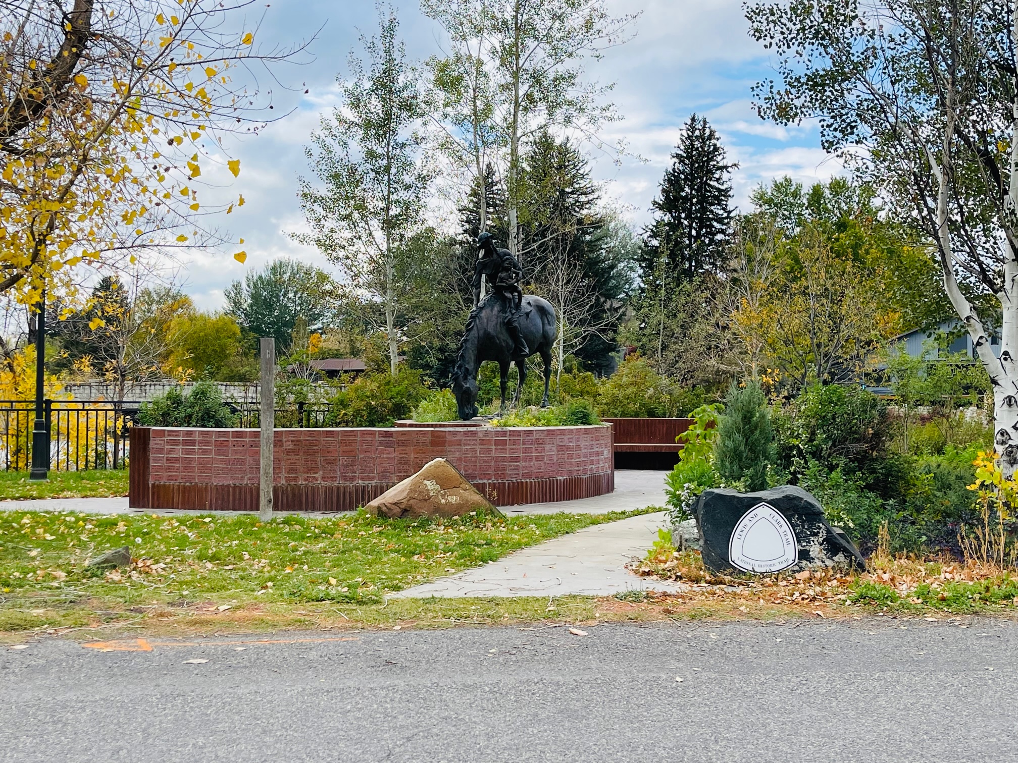
Before I headed to my brewery of choice in Livingston, MT, I noticed a sign to Sacajawea Park. You may remember her from history classes as the Shoshone Indian who guided Lewis and Clark on their expeditionary journey of the land. The park I learned was the trail Sacajawea guided them along and there is a statue of her on a horse holding her son.
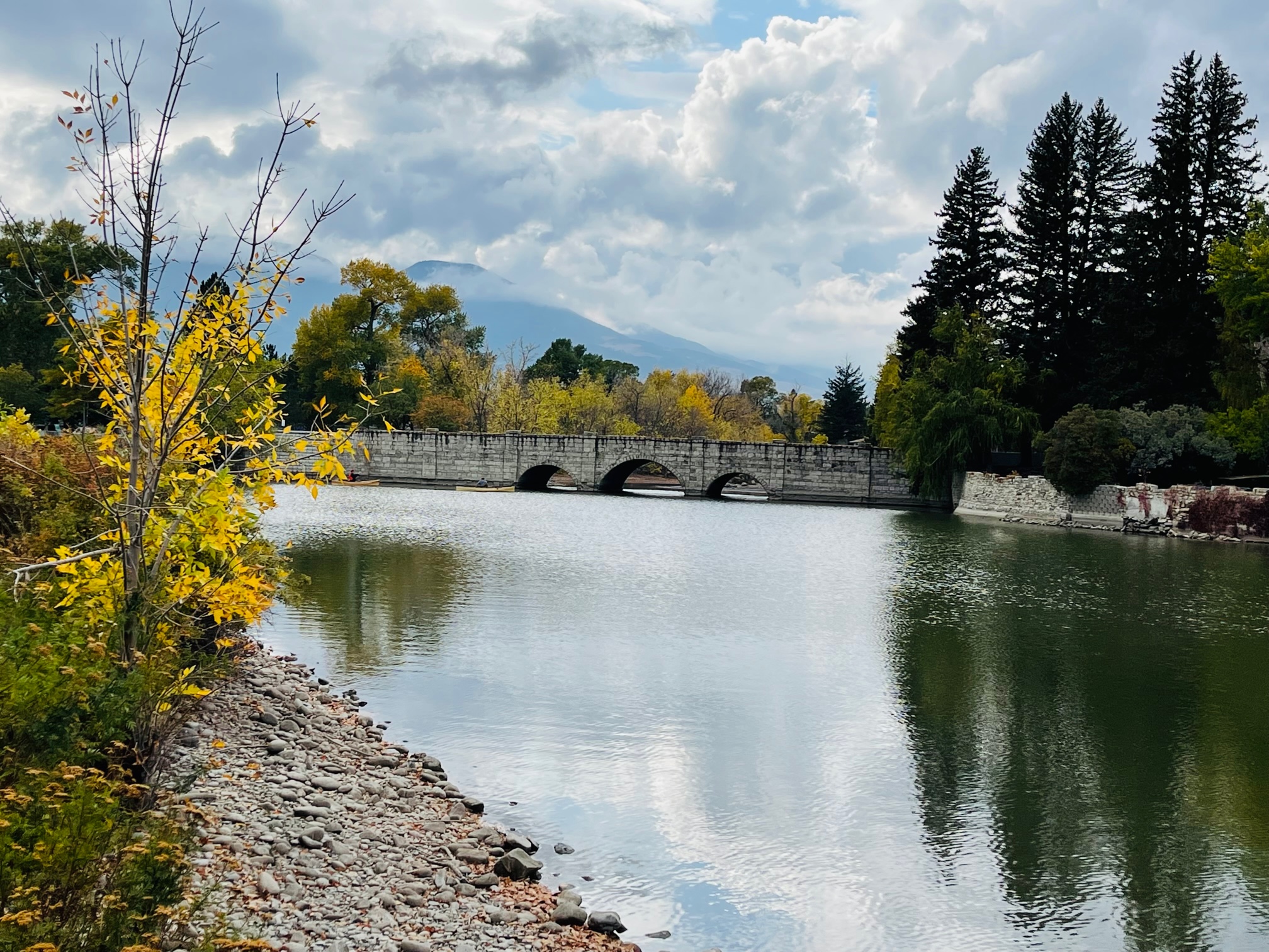
So I headed downtown to my brewery of choice I noticed not only were a lot of restaurants not open there as well (I’m excluding bars, coffee shops and pizzerias), my brewery had closed for the day due to a special event (see why I didn’t want to name the place earlier?). At this point I was tired, hungry and didn’t know where to go. Luckily, a couple on the street told me to check our Neptune’s Brewery.
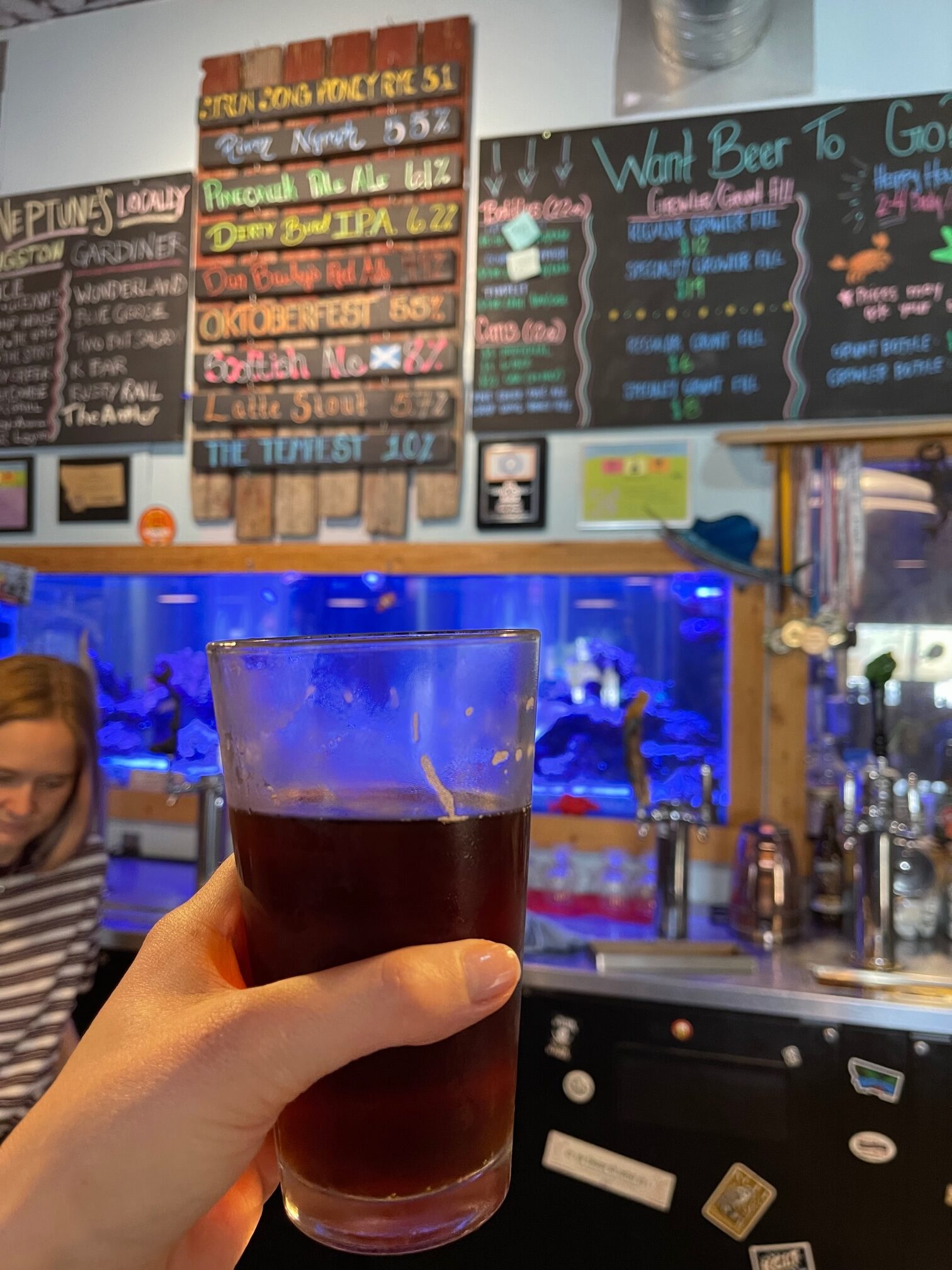
I got to the brewery only to realize they have no food! Sigh. At this point I ordered myself an Oktoberfest, which was very tasty with pumpkin spice but mainly I just needed something to calm me down. The waitress recommended I head back toward Bozeman, MT for some food.
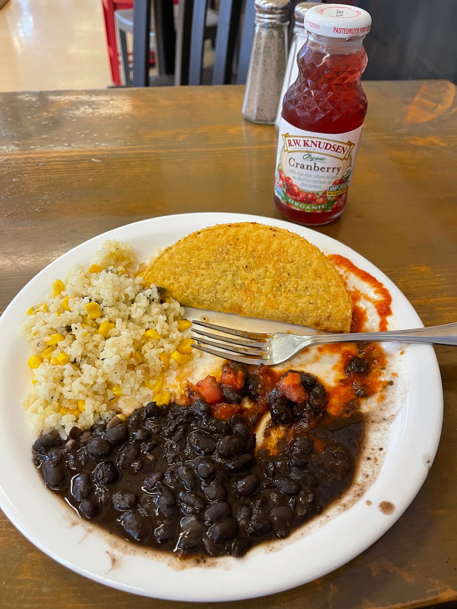
I drove 30 minutes west to my restaurant of choice only to learn that there isn’t a wait time for a table, but a 45 minute wait time for food because they were also short staffed! That waitress then recommended if I wanted something faster to go to the Co-op a few blocks away. Upon arriving, I decided on a taco, rice with corn, black beans and a small bottle of cranberry juice. Again, this wasn’t my first choice and it was a decent tasting meal, but I didn’t know what else to do!
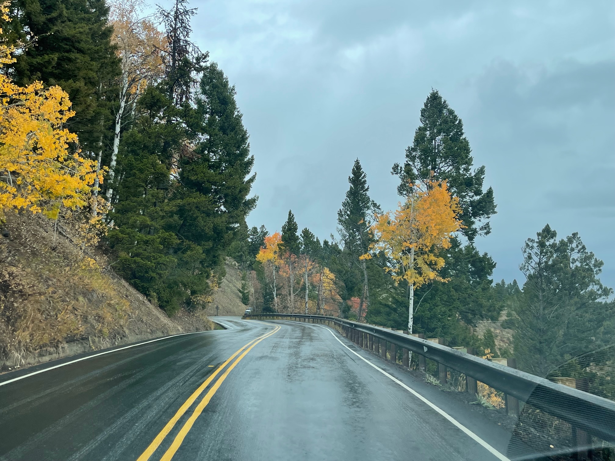
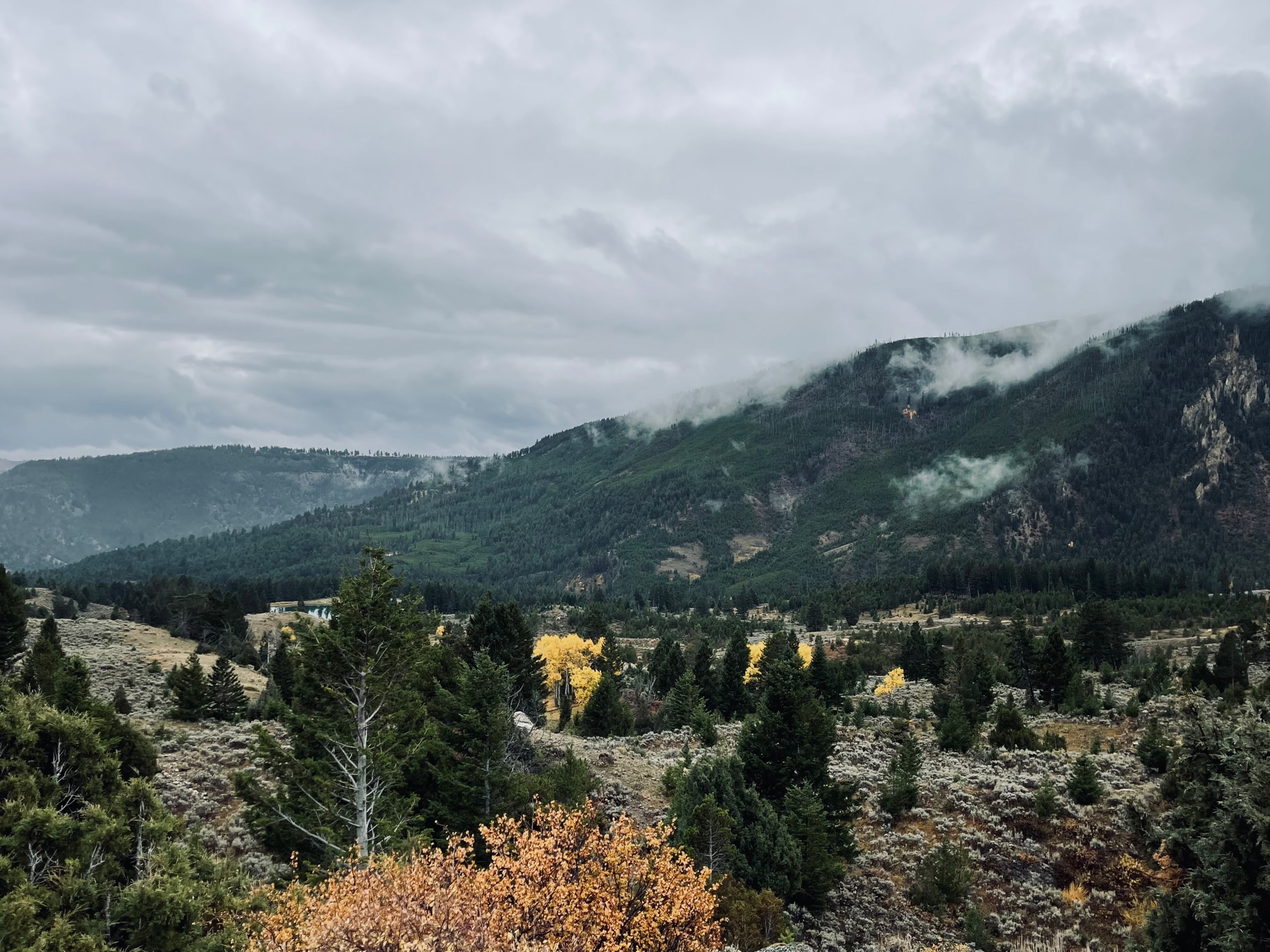
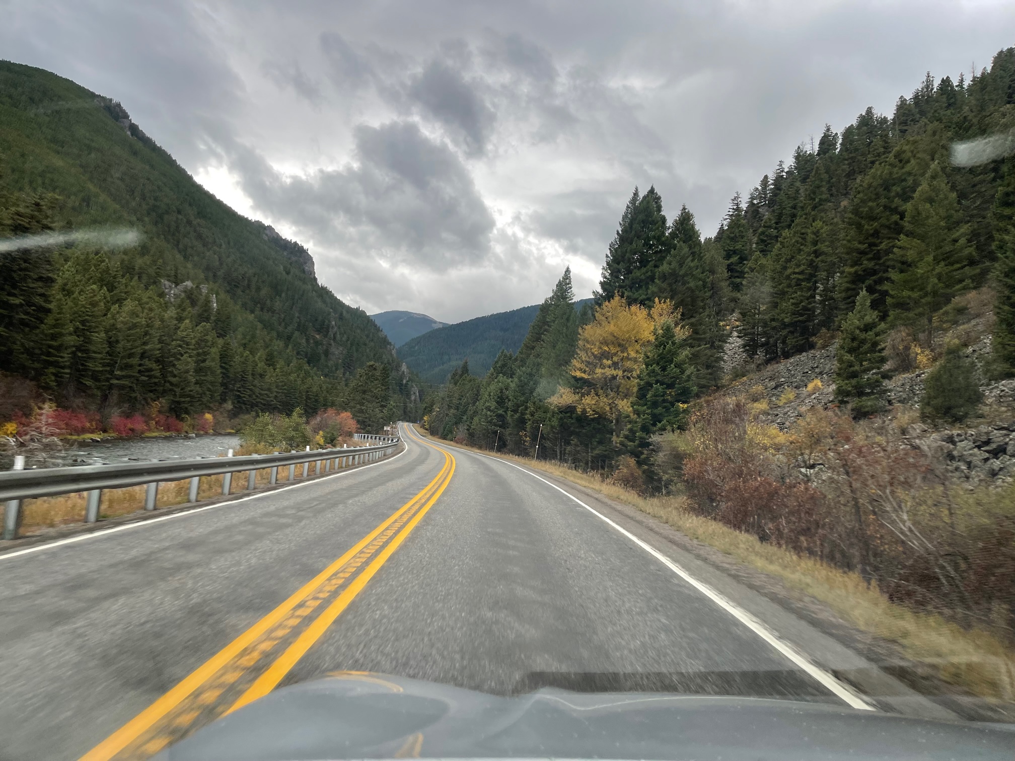
The final shot of the day was back to Big Sky, MT, where I was finally able to get a somewhat clear shot from the roadway, something I couldn’t do the day before.
No Cody, WY 🙁
Something I also unfortunately didn’t have time to do was drive to Cody, WY, an historic western town named after solider and Bison hunter Buffalo Bill Cody. I read that it would’ve taken me 4 hours to get back to my Airbnb (you have to cut through Yellowstone to get there) and I just didn’t have enough time with everything else I wanted to see.
I had written the blog prior to me knowing the drive time and wanted to check out the Buffalo Bill Center of the West Museum($21), which was another affiliate of the Smithsonian and features artwork and artifacts from the American West; Yellowstone, Shoshone Canyon, a gorge through Rattlesnake Mountain with the Shoshone River running below it; the Buffalo Dam and Visitor Center (free), a 325 foot high dam built in 1910 with the Shoshone River running through it, Old Trail Town ($10), a 1890s town with buildings from the Wyoming frontier and Indian artifacts along with gravestones of solider’s and hunters; and Kanye West’s Ranch since he bought property there last year (I was only going to snap a photo from the distance).
Day 3 – Saturday, October 9
Grand Teton National Park
I woke up early yet again at 5:45a.m. and made my way 3 hours south to Grand Teton and Jackson Hole! This was my longest drive of the day. It was also pouring rain that morning and the clouds were thick once once it lightened up.
Here are some quick facts before we drive in:
- Grand Teton was established on February 26, 1969.
- It covers 310,000 acres of land in Wyoming.
- The Teton Range is 13,775 feet high.
- Attracts more than 3.2 million visitors each year.
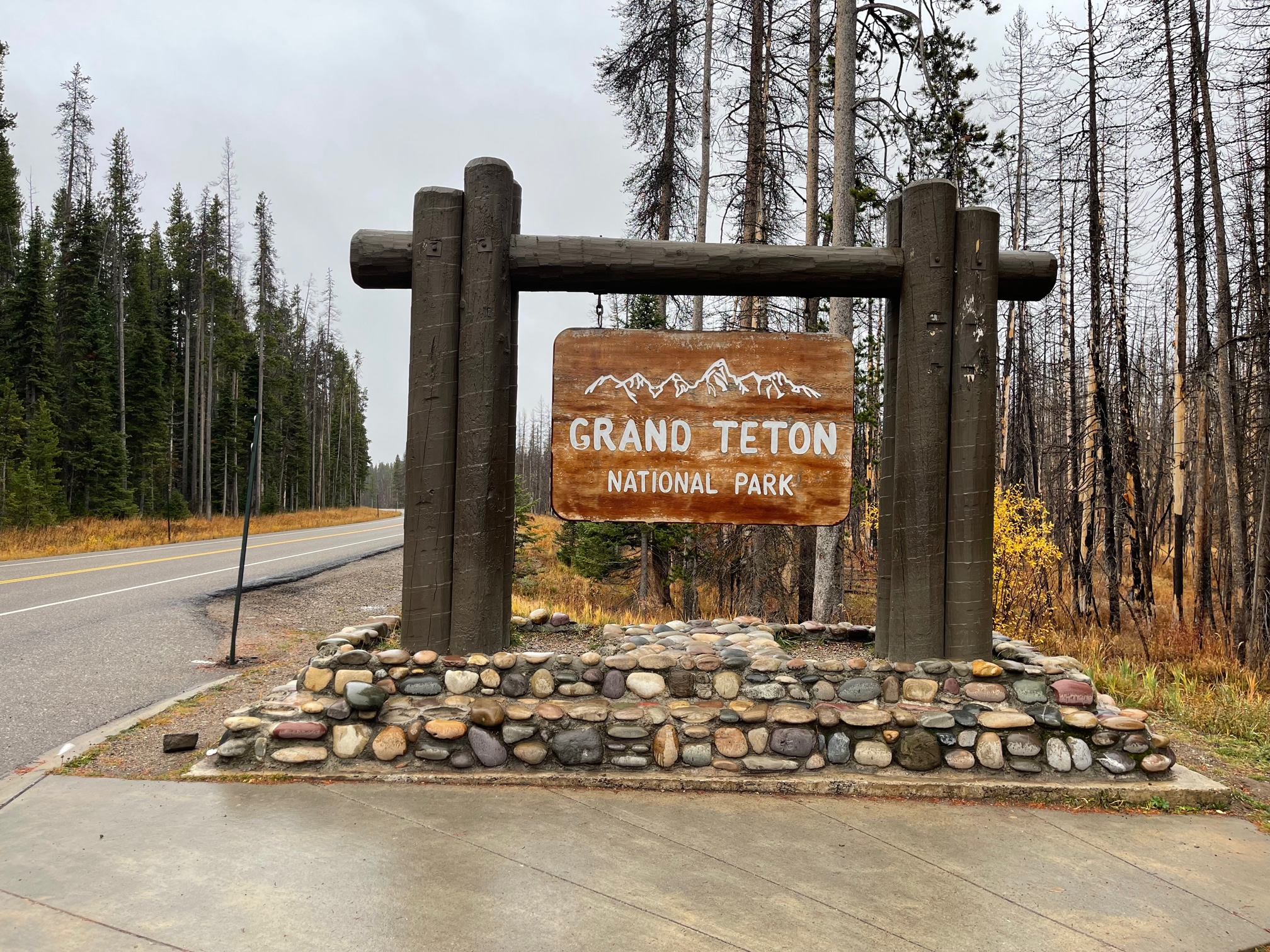
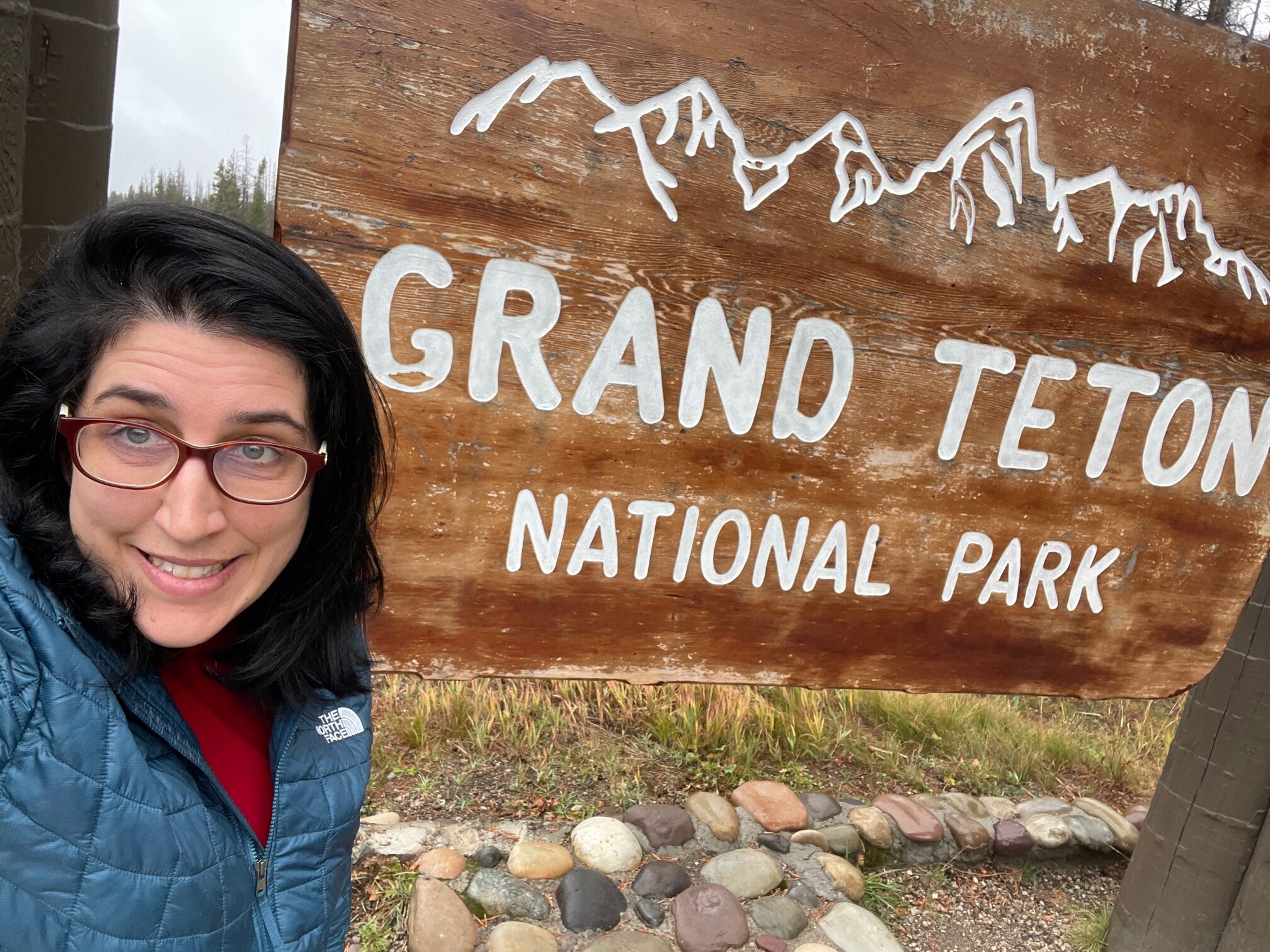
To get to Grand Teton from where I was staying in Big Sky, MT, I had to go through the western part of Yellowstone. Of course, I had to snap a photo of myself with the Grand Teton sign on the South Entrance. Unfortunately, no one was there to take my photo, so I had to take a selfie instead.
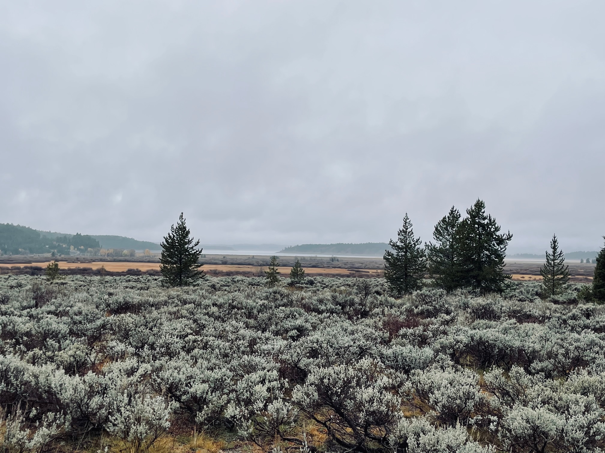
Next I stopped at the Willow Flats Overlook and the Jackson Lake Overlook down the road to look across the 15 mile Jackson Lake to try and see the Grand Tetons. Failed!
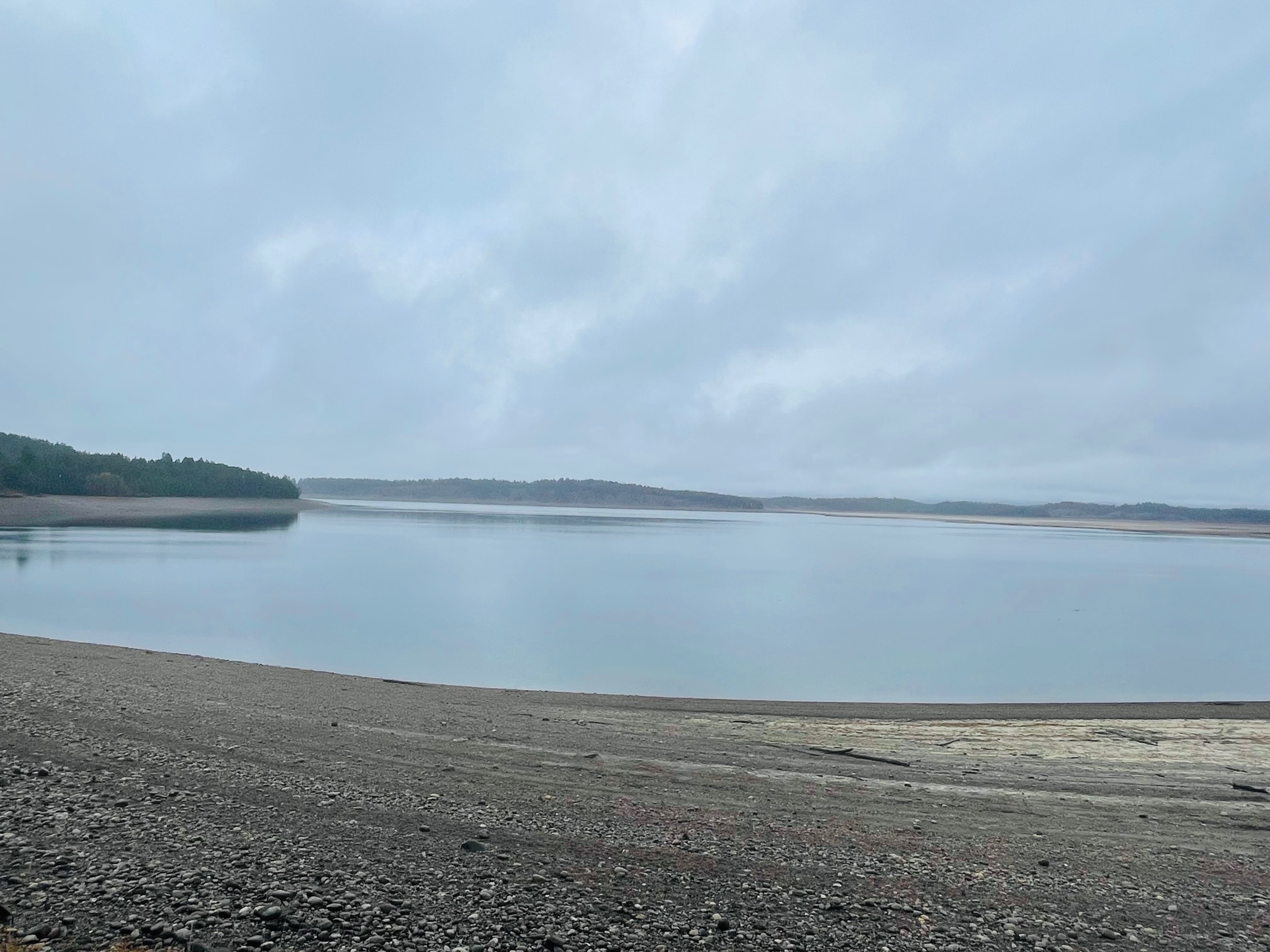
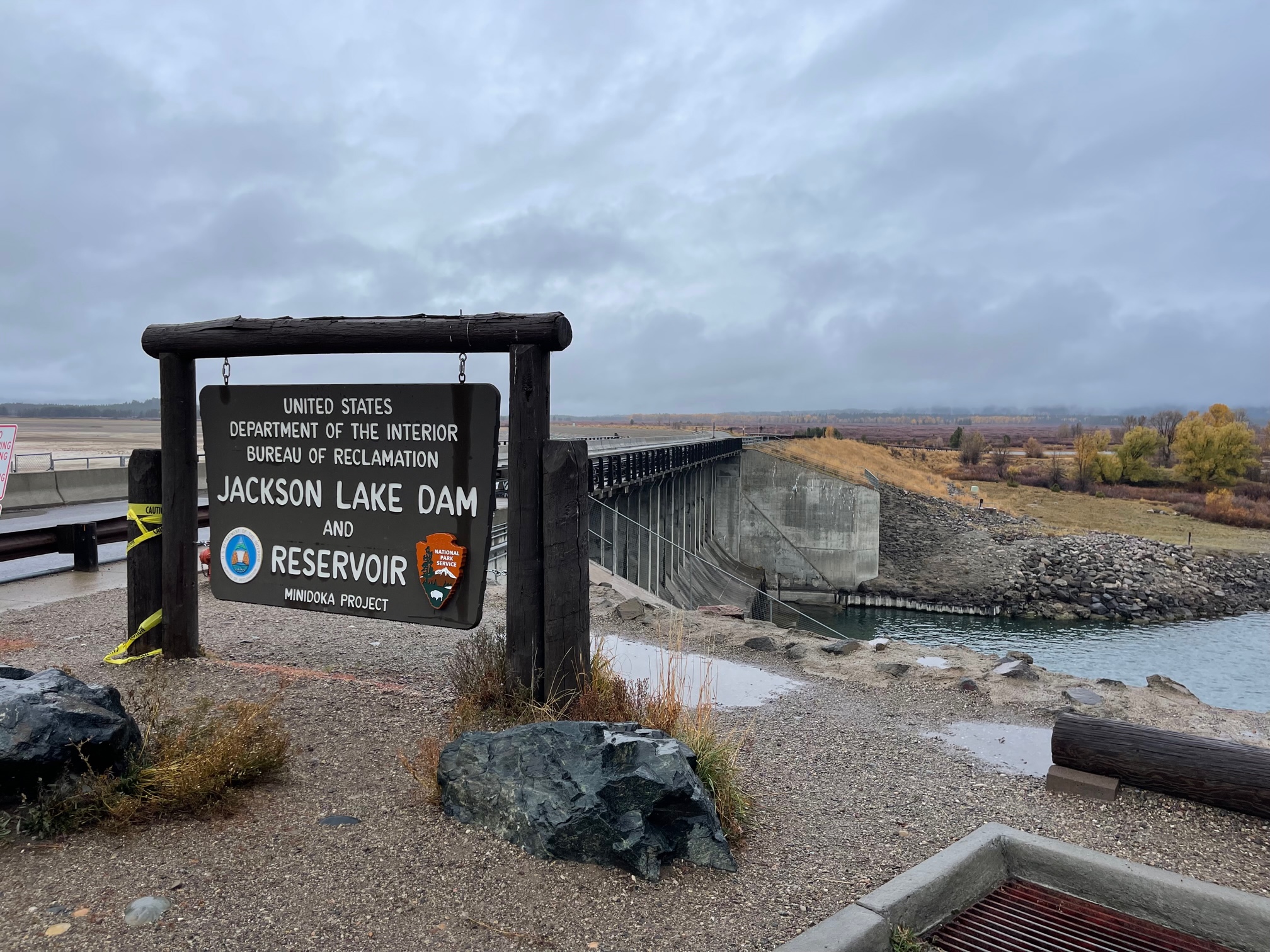
Just down the road was the Jackson Lake Dam, a 39 foot concrete dam that was built in 1916 after the original one failed.
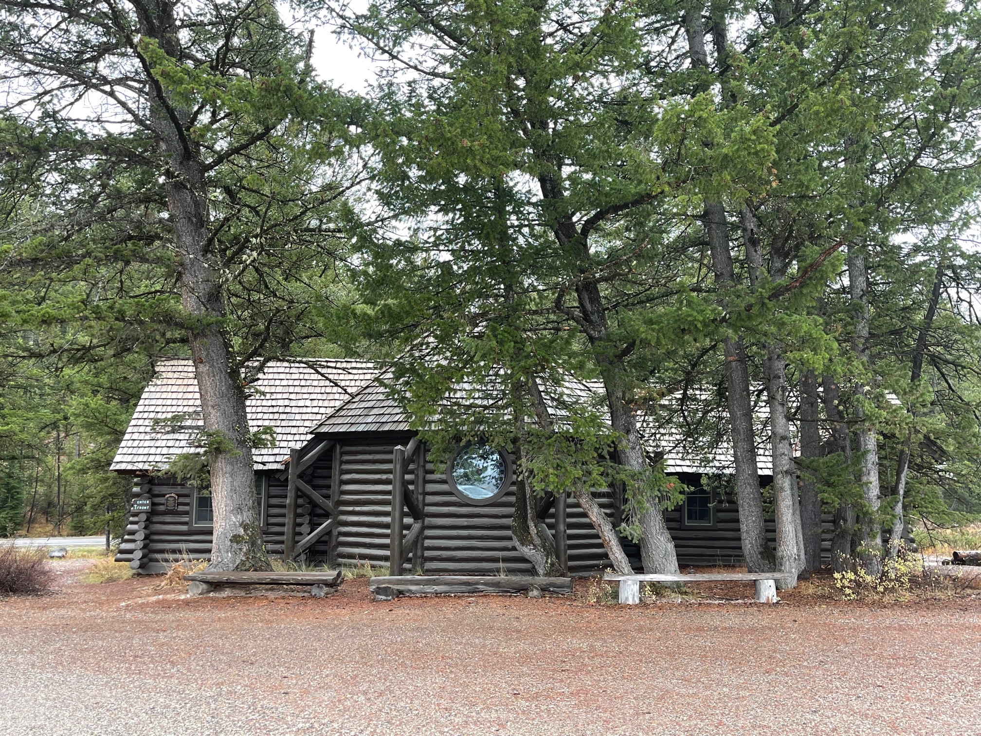
My next stop took me to a darling chapel called the Chapel of the Sacred Heart, which was built in 1927 near Jackson Lake. It also hosts Sunday services in the summertime.
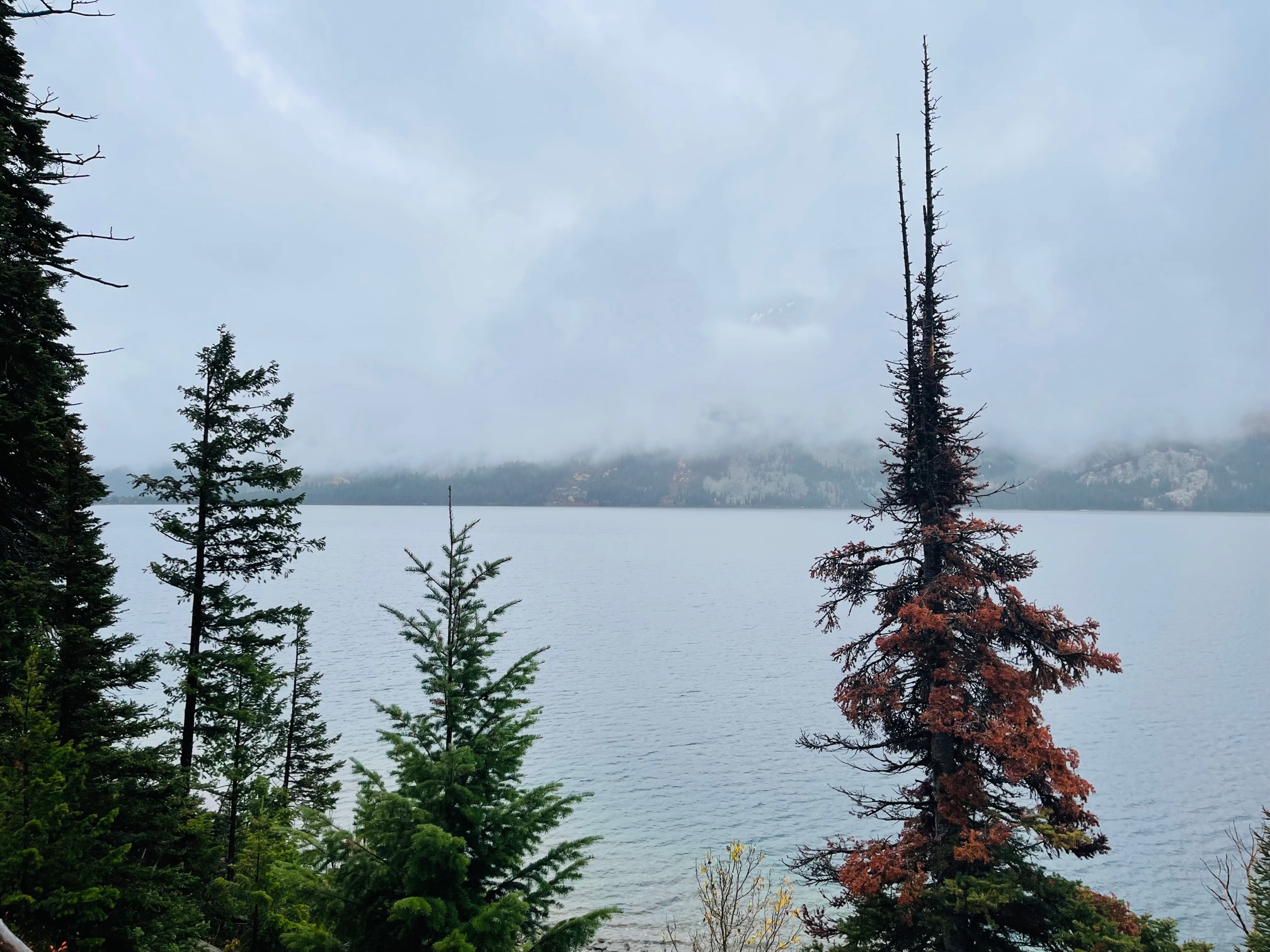
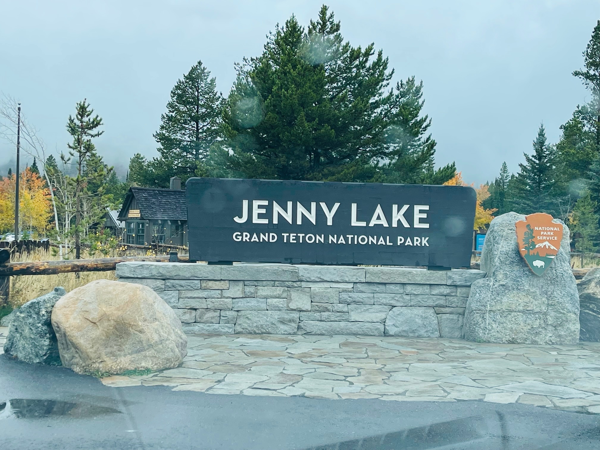
I then headed toward the Jenny Lake Overlook, a 2 1/2 mile long lake popular for boaters and the most popular lake to view the Tetons from. Unfortunately, the clouds were still very, very thick and I could only see the lake and the base of the hills. The Visitor’s Center was also closed for the season.
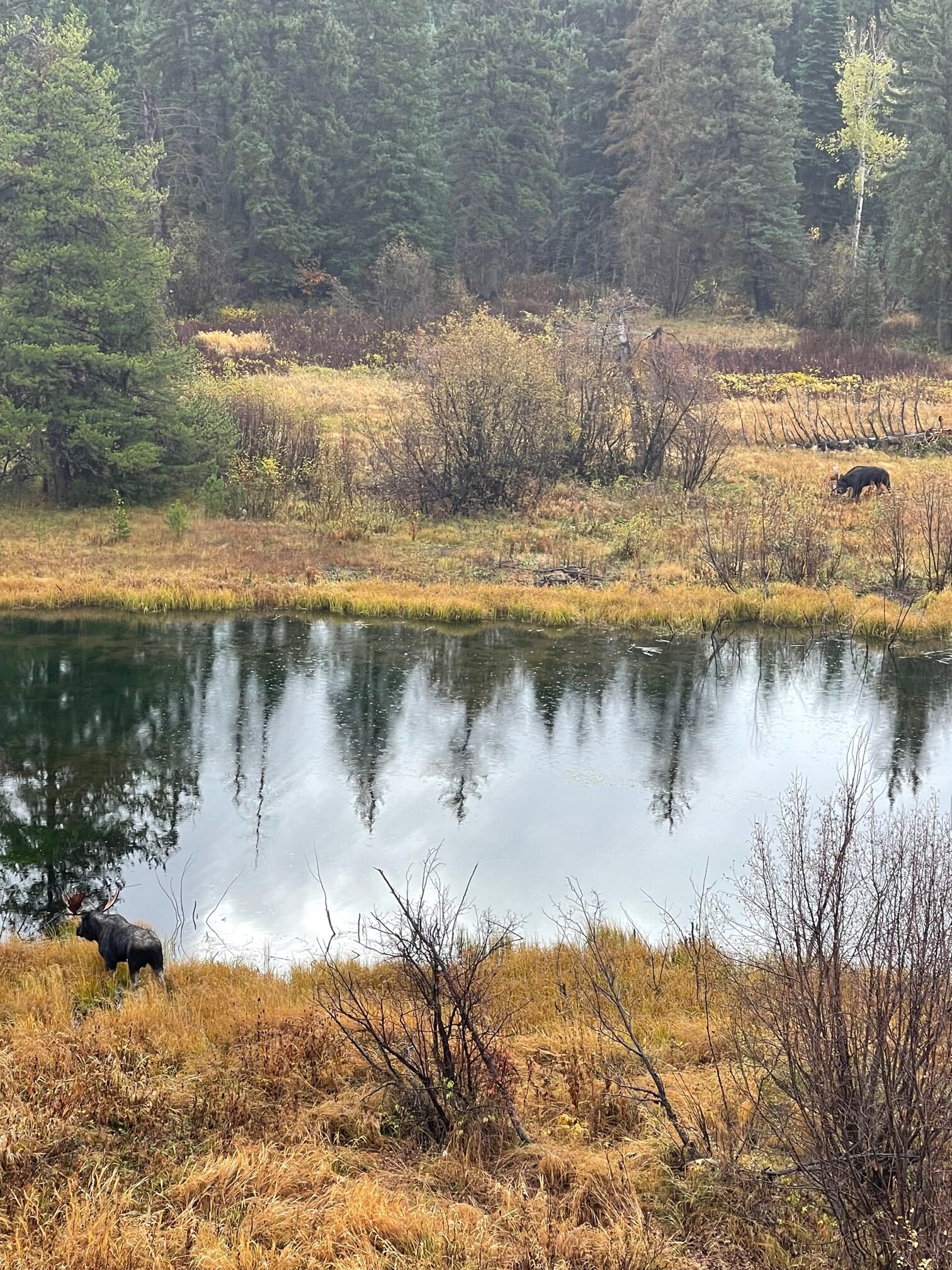
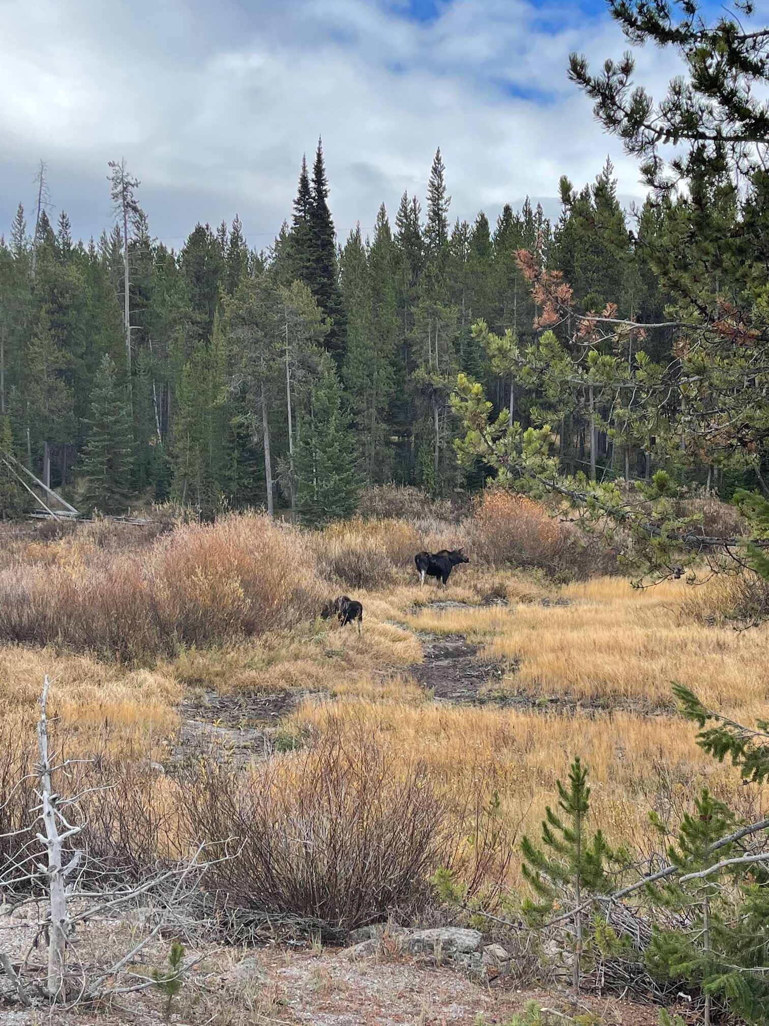
So at this point I was frustrated with the cloud situation but I had to keep going! Near the North Entrance to the park, I went up the hill and I was so lucky to see two moose grazing in the field. This made me feel much better (for the moment)!
I then went to the Moose Visitor’s Center (aka Craig Thomas Discover Center), which was the only visitor’s center that is open in the park during the off season, and paid for another 7-day pass ($35) for my vehicle. Again, this was the cheapest one I could get. I also bought another magnet and small plush wolf as souvenirs. The center also has amazing exhibitions about Grand Teton!
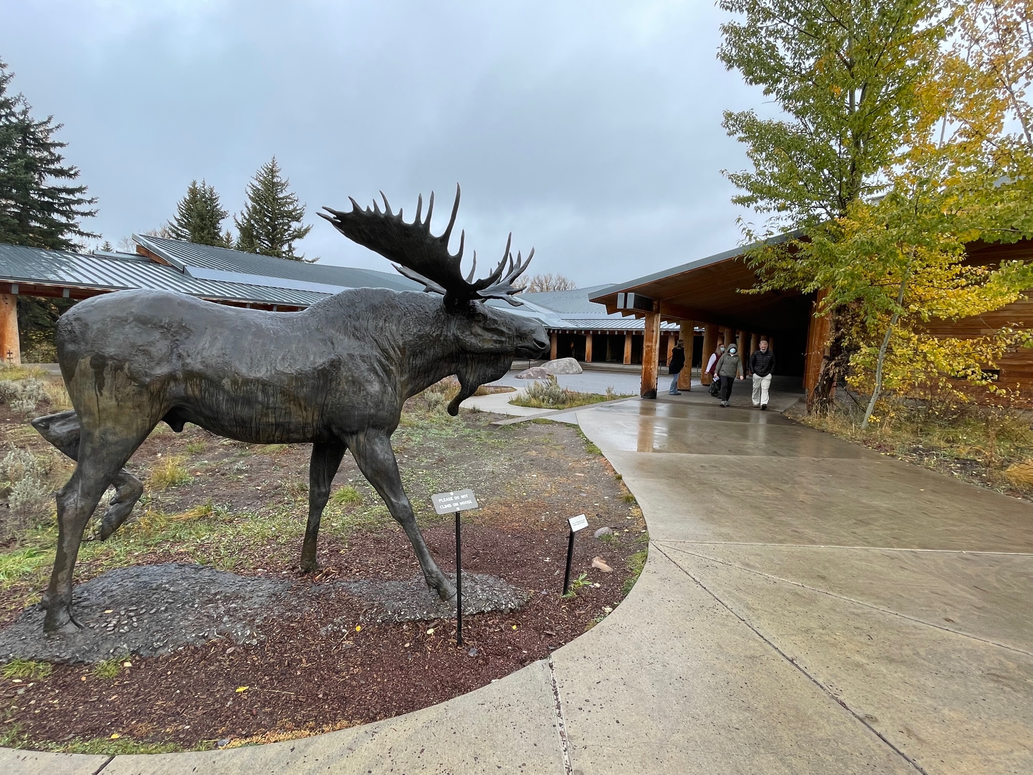
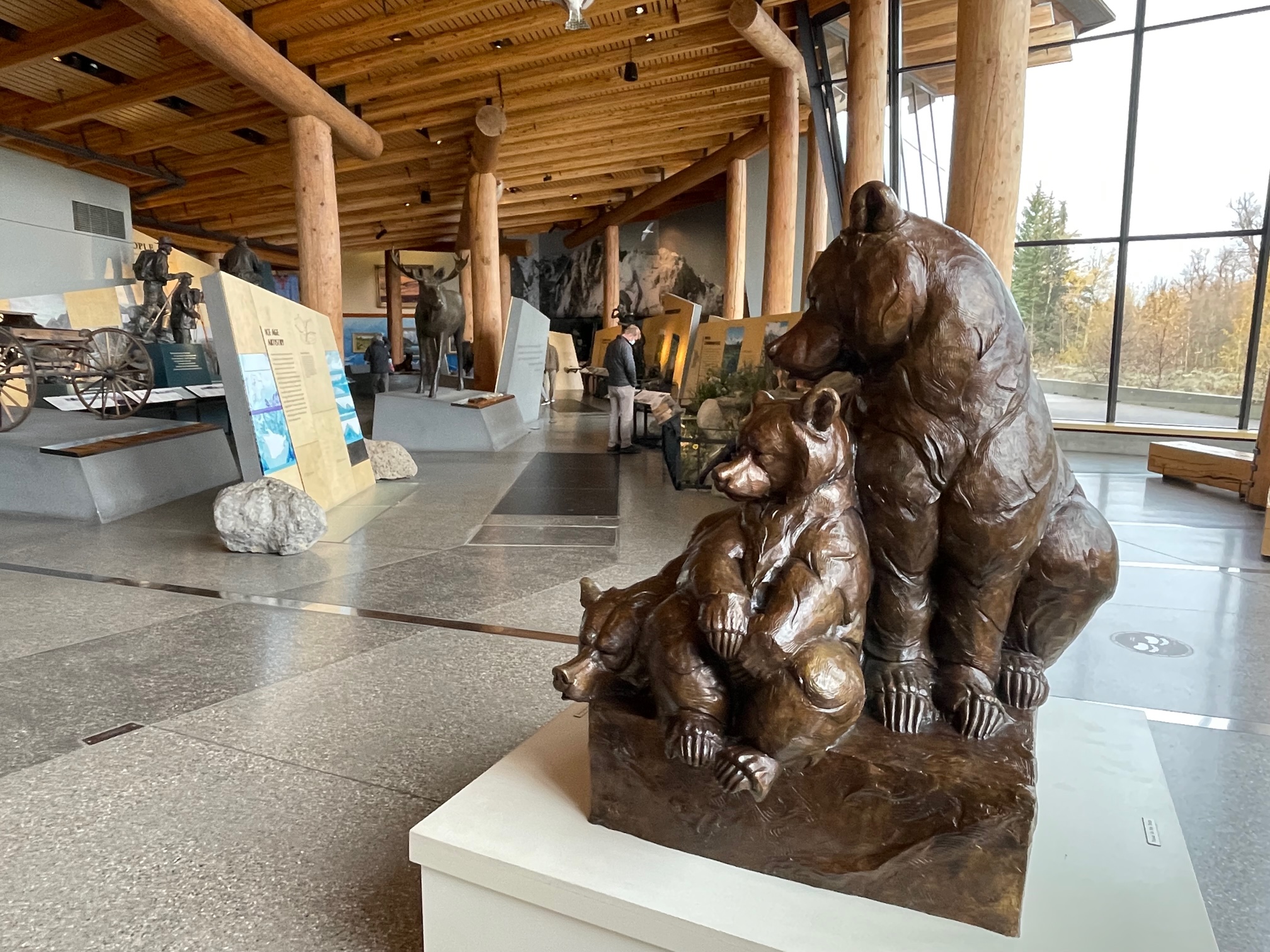
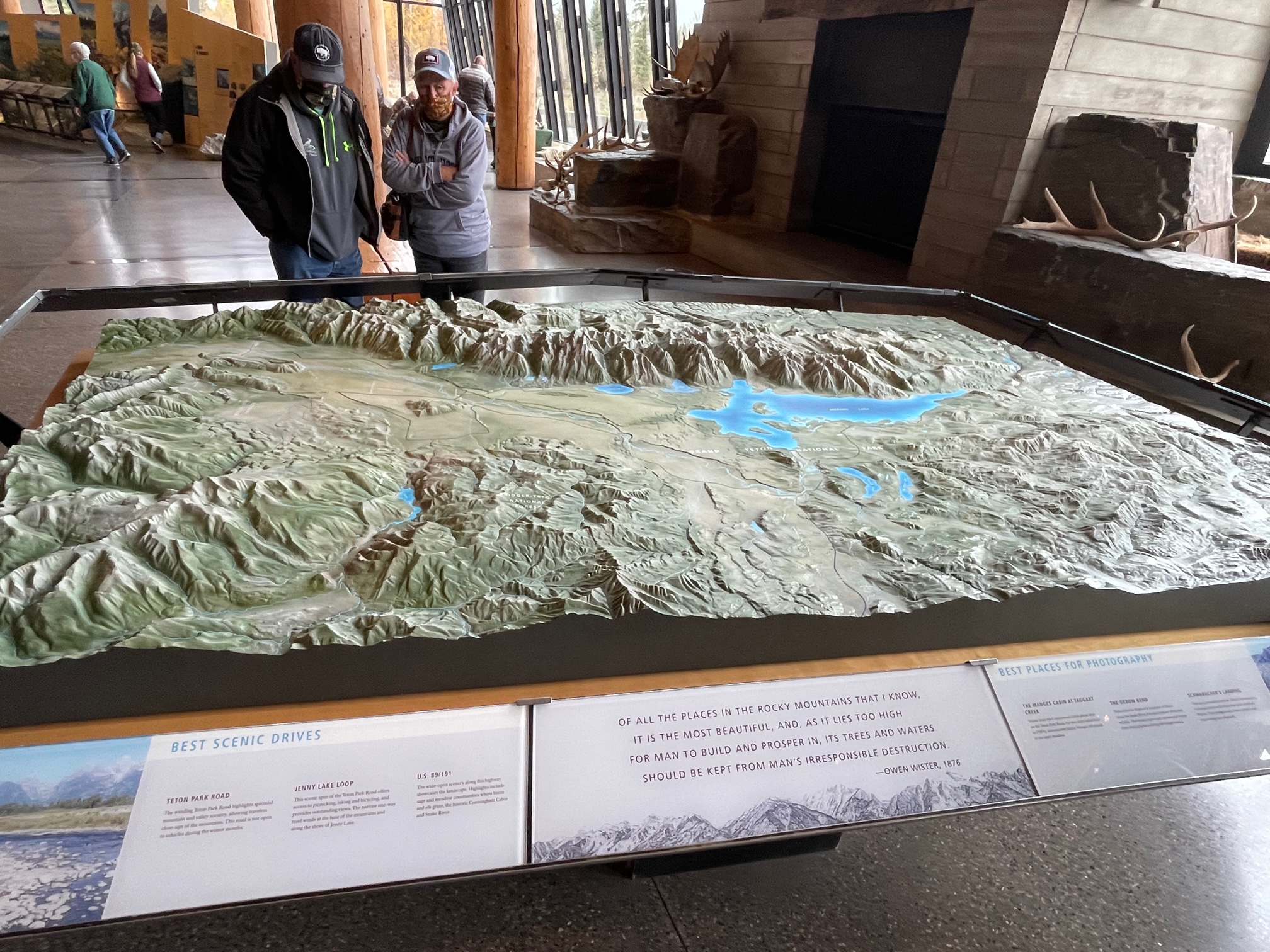
Because the Tetons were still covered with heavy clouds, the park ranger recommended I try coming back around the late lunch hour, but that I might not be so lucky today. It sucked because at this point, I had no clue if I was going to ever see them or not. So I decided to head over to Jackson Hole for a bit and try my luck again.
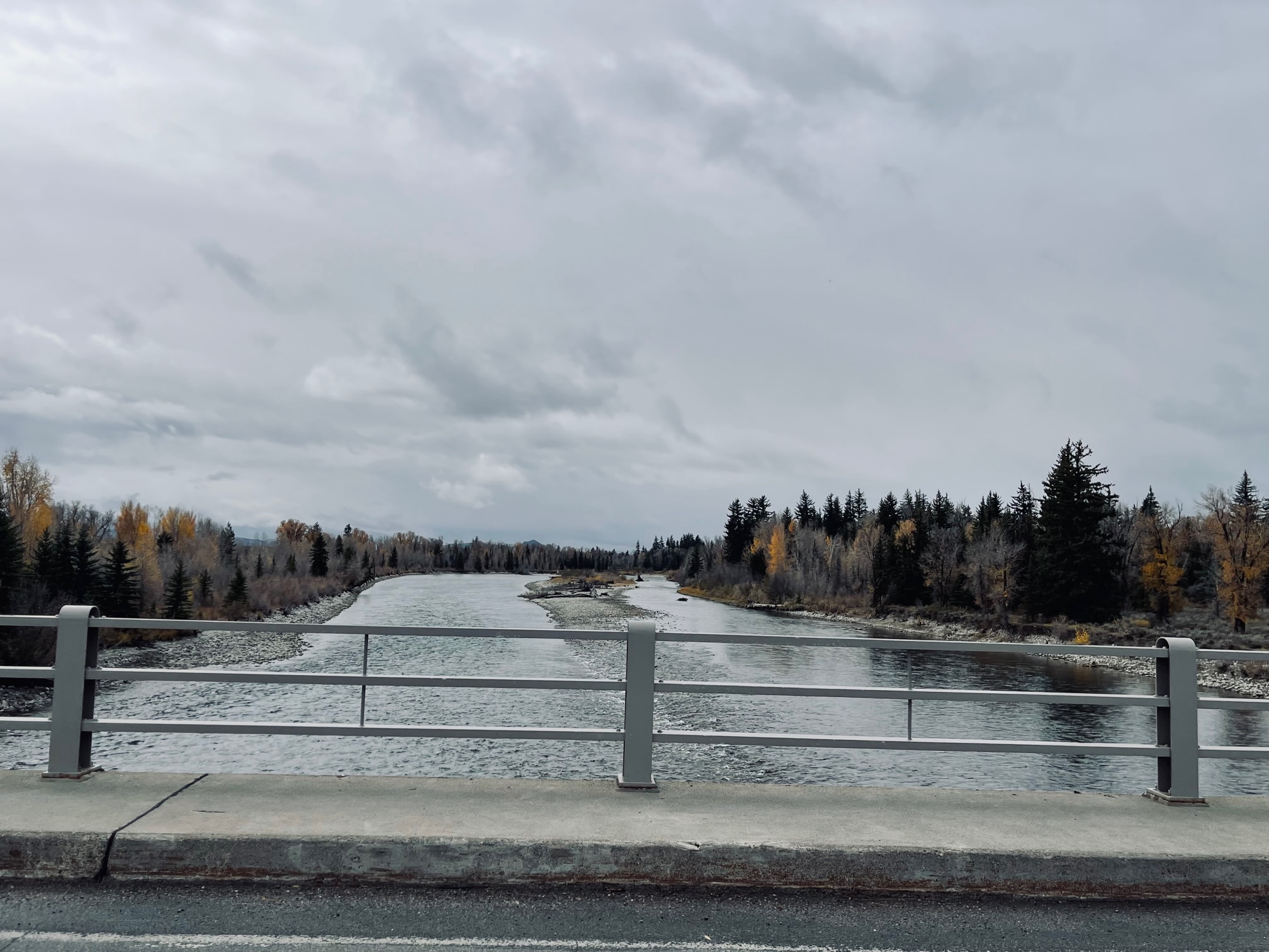
On my way out, I snapped a photo of the Snake River which is 1,078 miles long and begins in Yellowstone with an ending across Idaho into the Columbia River. There is also the Snake River Overlook off the main highway, but unfortunately on my way out of the park, the clouds got super dark and it was hard to see anything.
Jackson Hole
Just outside of Jackson Hole, I stopped at a scenic overlook and also snapped a photo of some outdoor sculptures from the Museum of Wildlife Art on the other side of the highway. I also got to go around downtown a bit and saw the ski lift for the Jackson Hole Mountain Resort.
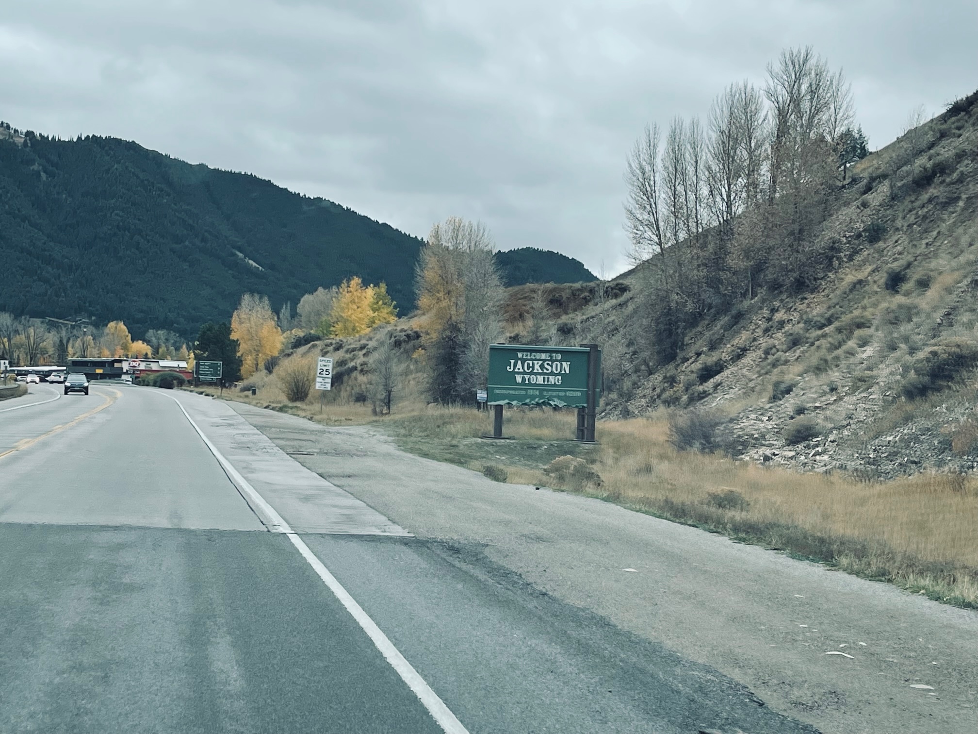
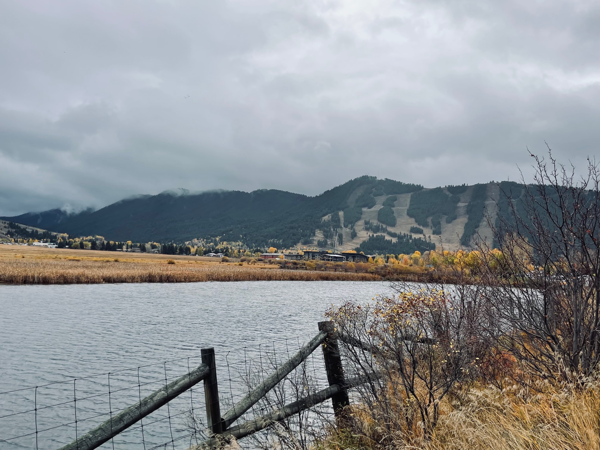
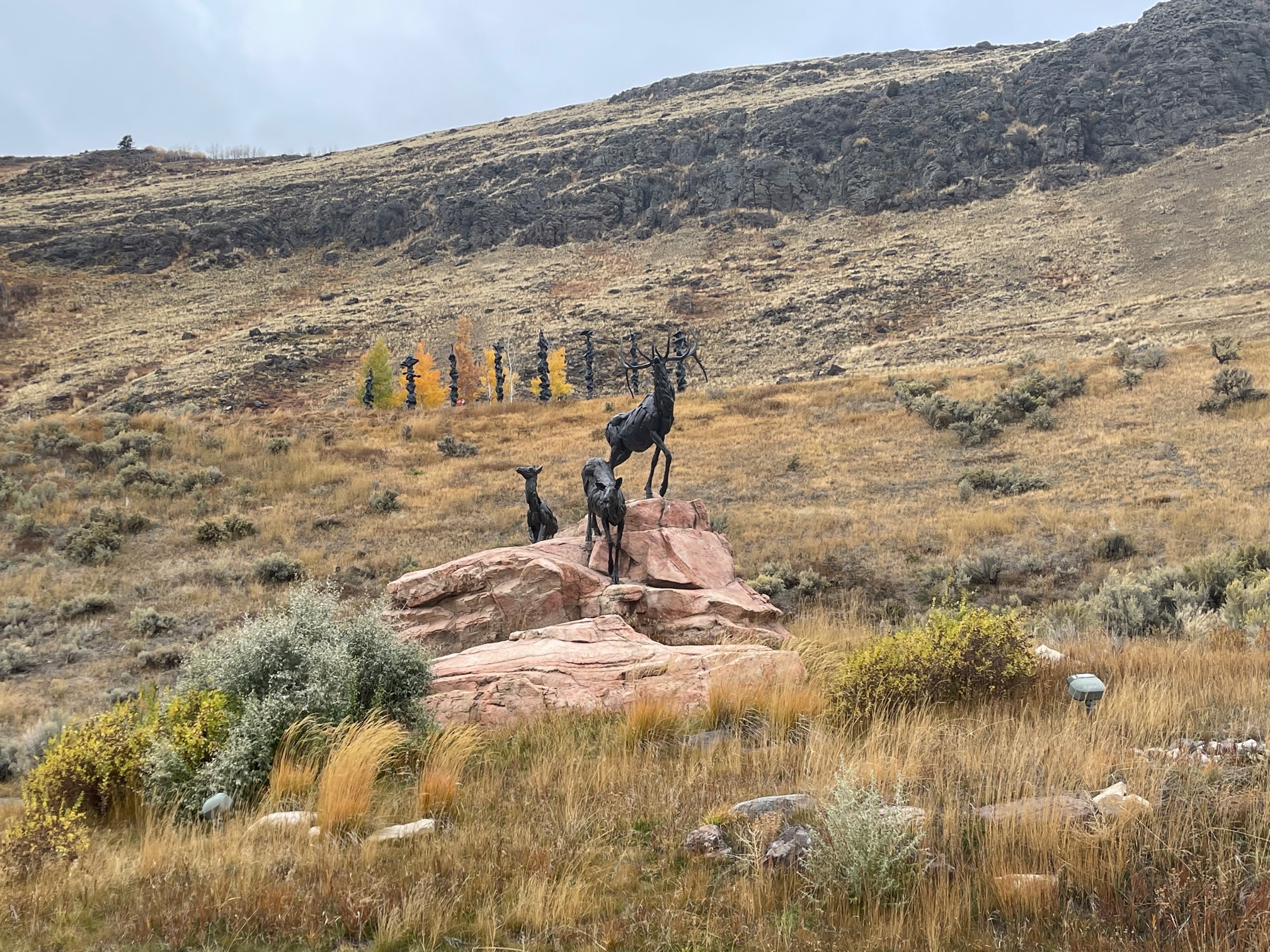
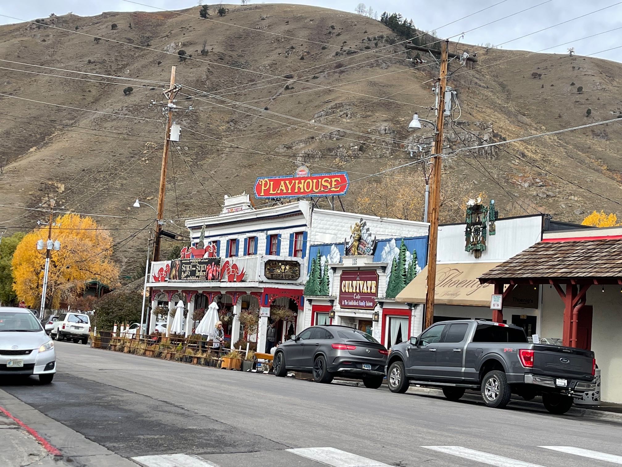
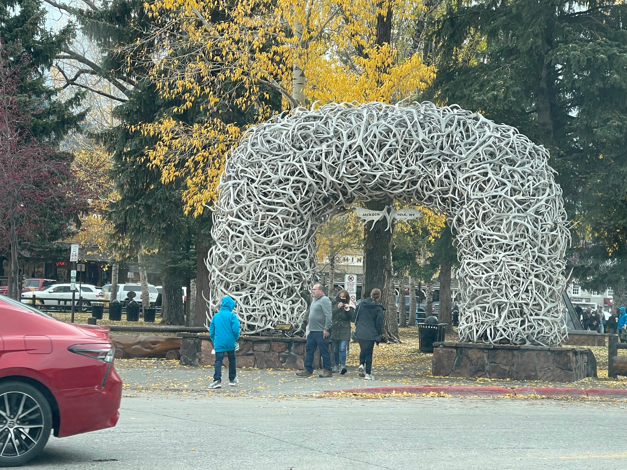
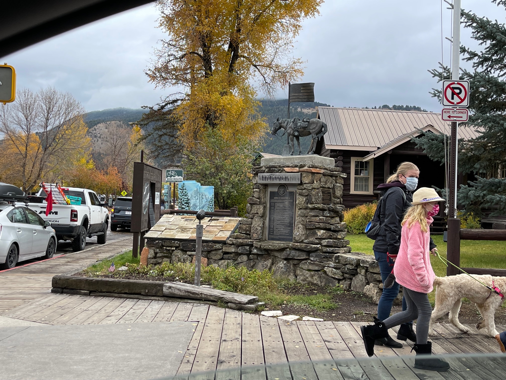
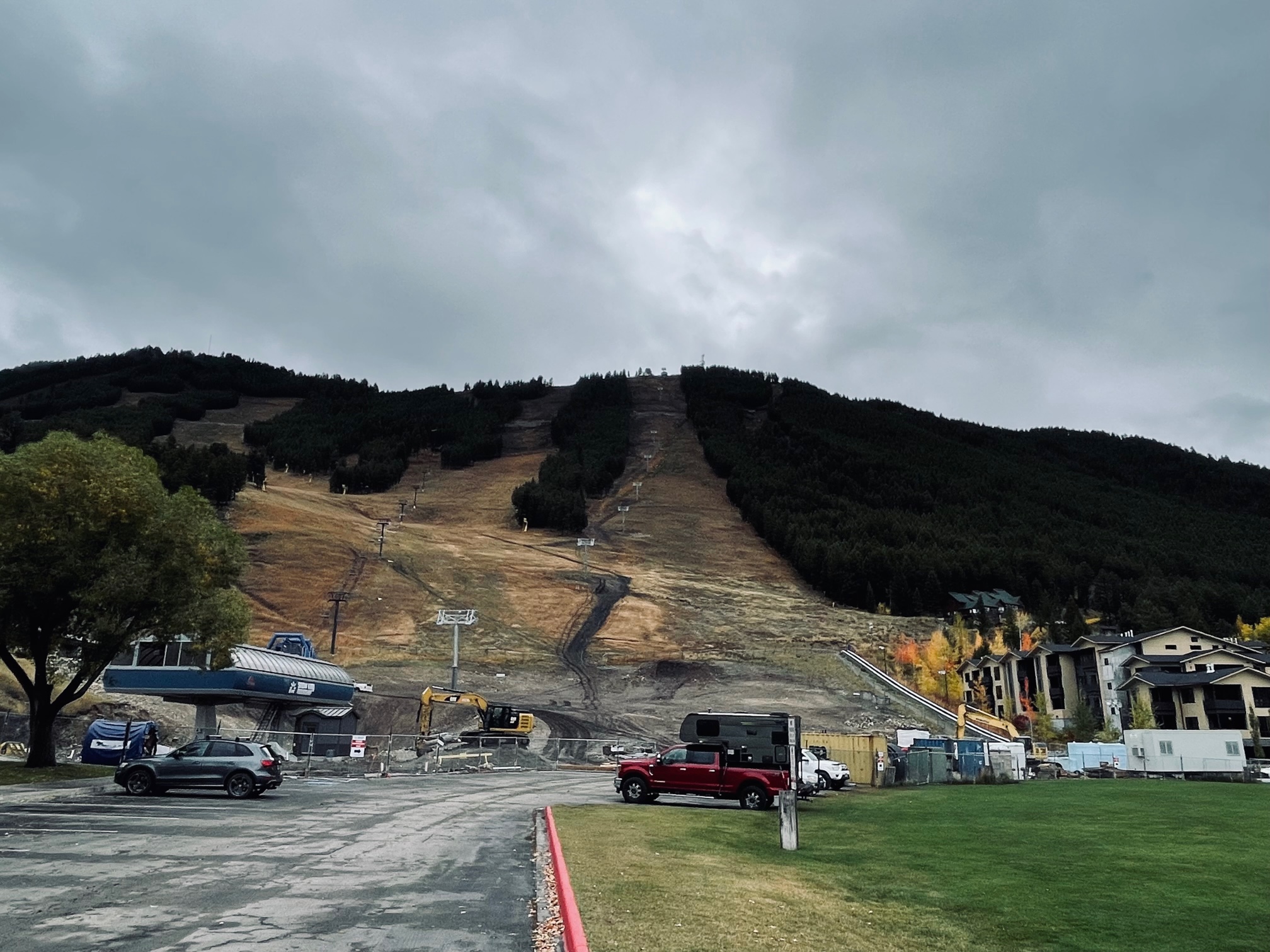
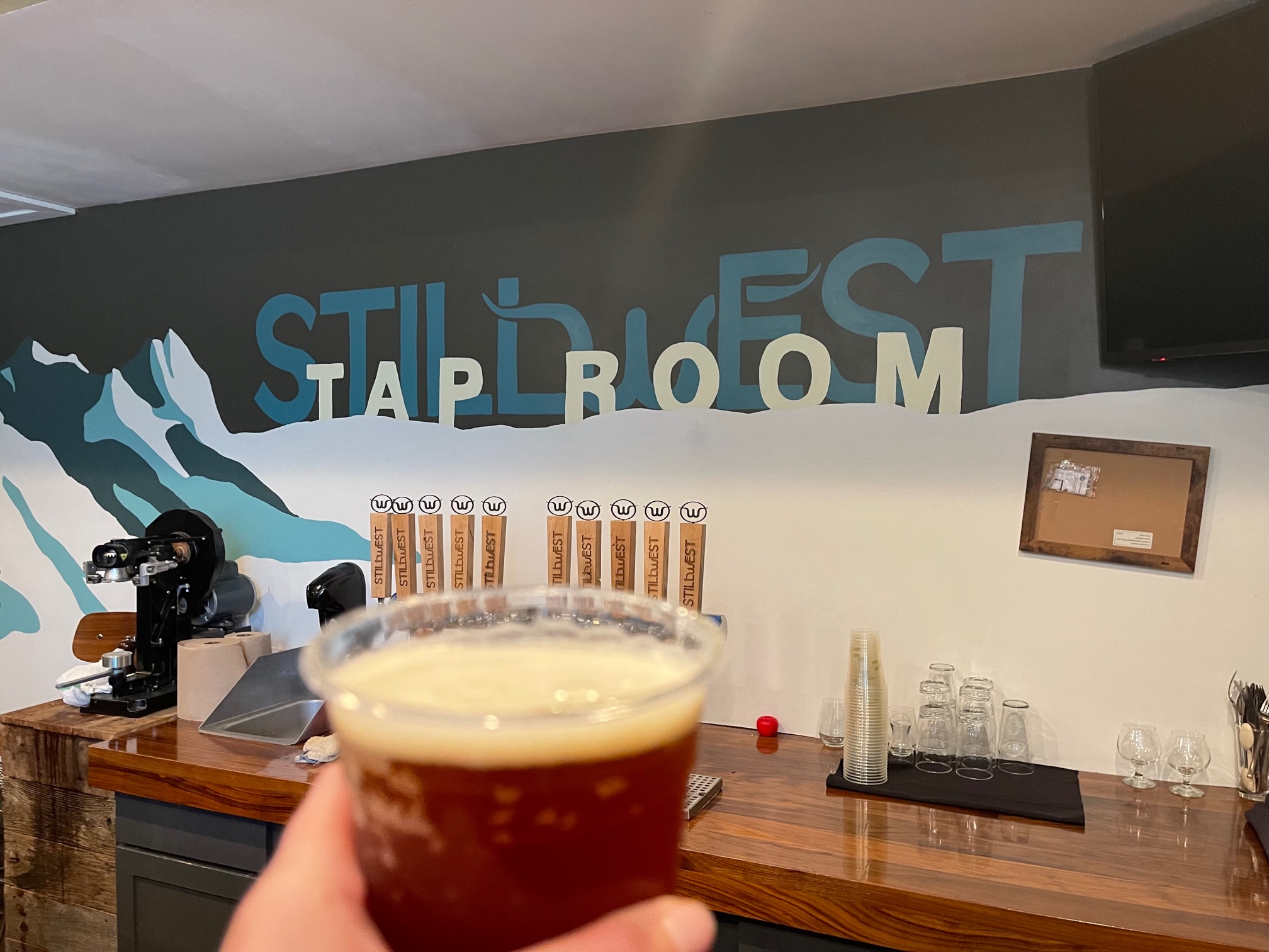
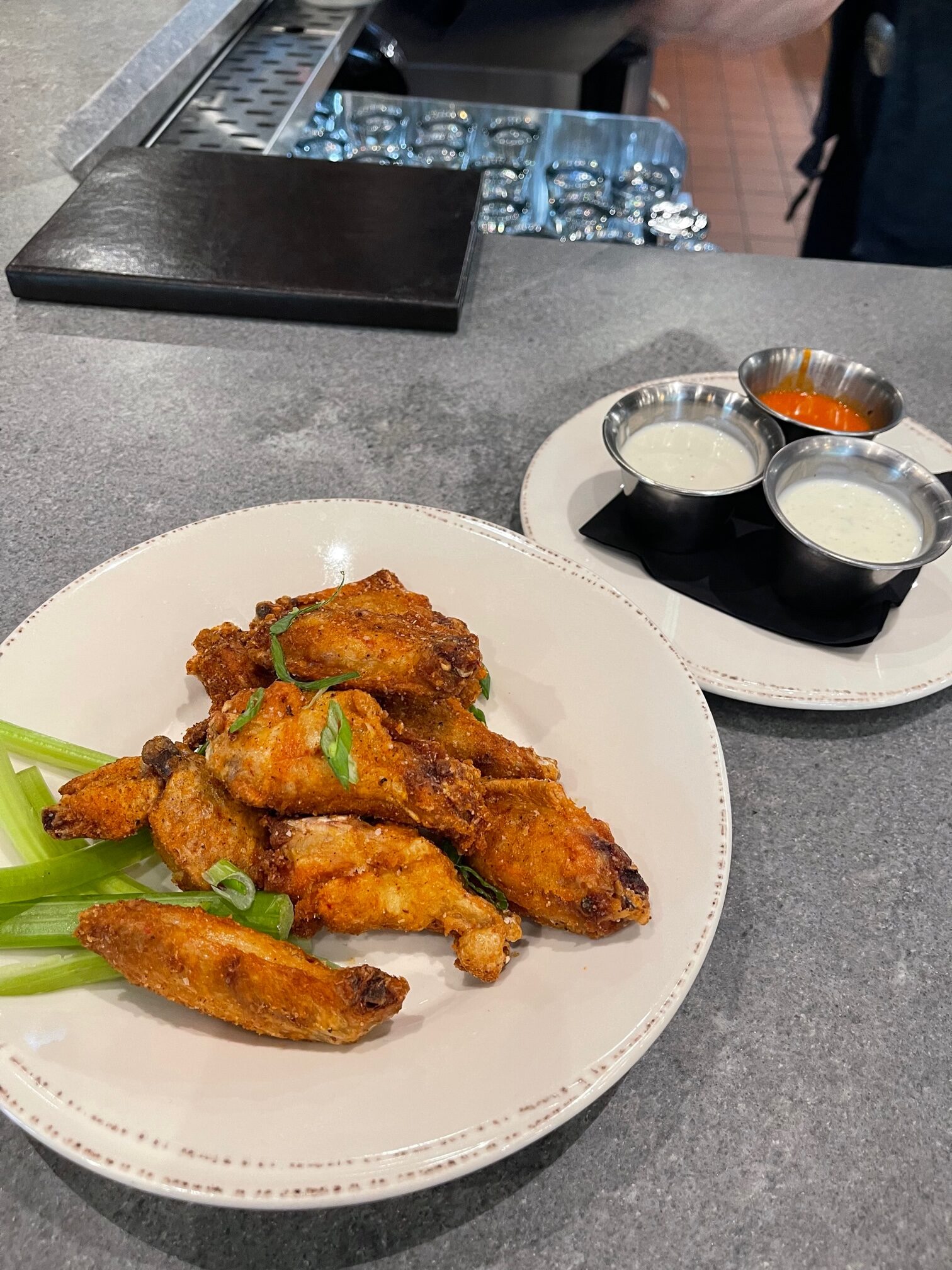
So of course, just as it has happened in Big Sky, MT, I was having problems trying to find a restaurant that was open. Finally I found StillWest Brewery & Grill and Don Alan, the owner, saw how hungry and thirsty I was (along with struggling to find an open place) and let me try some samples of his beer 30 minutes prior to opening. I decided on an Oktoberfest and once it opened up, I ordered some Dry Rub Chicken Wings with three different sauces. It was so good!
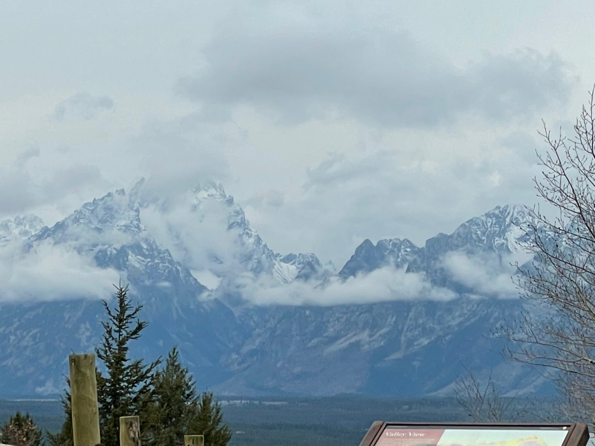
It was time to try my luck again to see if I could view the Tetons. It was after 12pm and still no such luck. I was so bummed out that I then decided to try and stop at the Blacktail Ponds Overlook looking across the Snake River to the Grand Tetons. I met a tour guide and he told me to try and wait it out with him for 30 minutes. I did and luckily I was able to get these shots when the clouds broke up for a full minute. But that was it! So I felt much better just to see a few of the Tetons even if it wasn’t the full range.
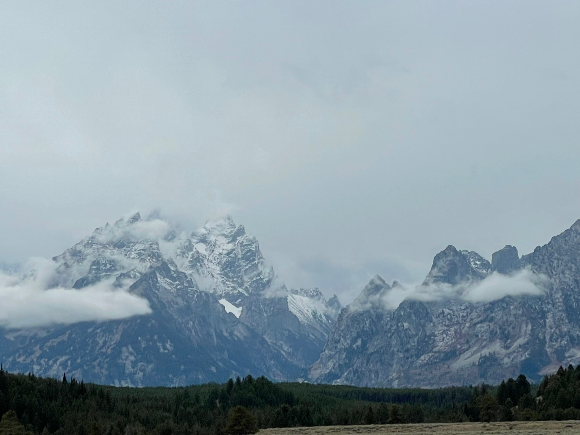
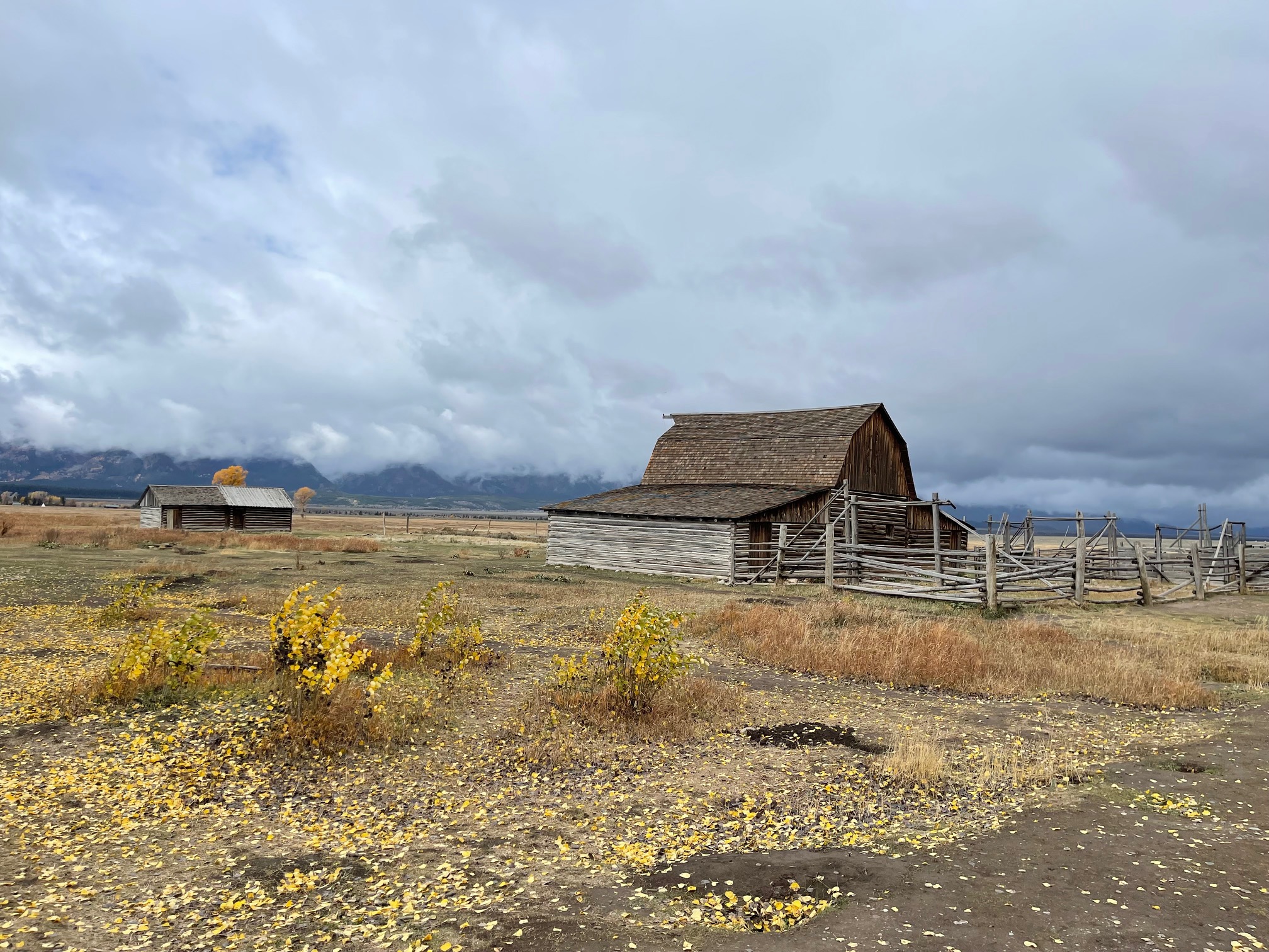
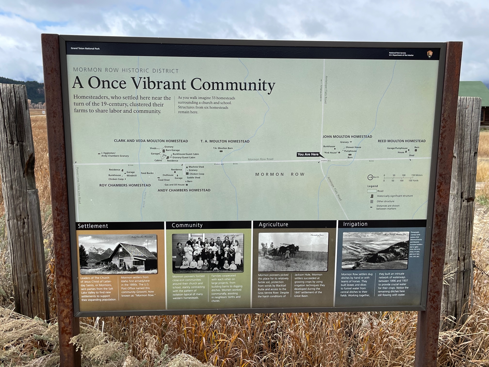
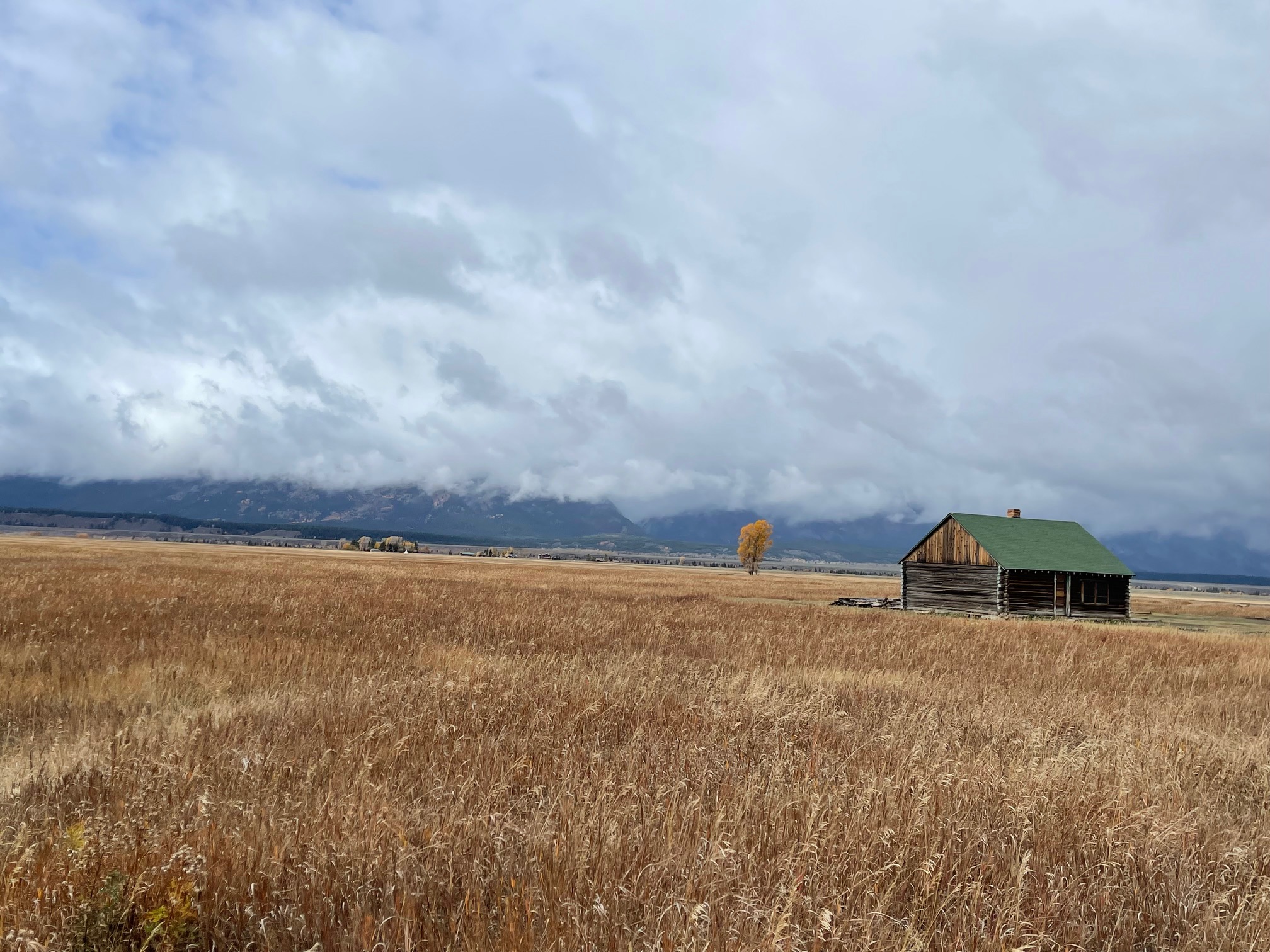
Next I drove to Mormon Row, where Mormons lived in the late 1800s and early 1900s on 27 homesteads. It is designated as a National Register of Historic Places and the most famous shot I got was the John Moulton Barn with the Tetons (well, covered Tetons) in the background.
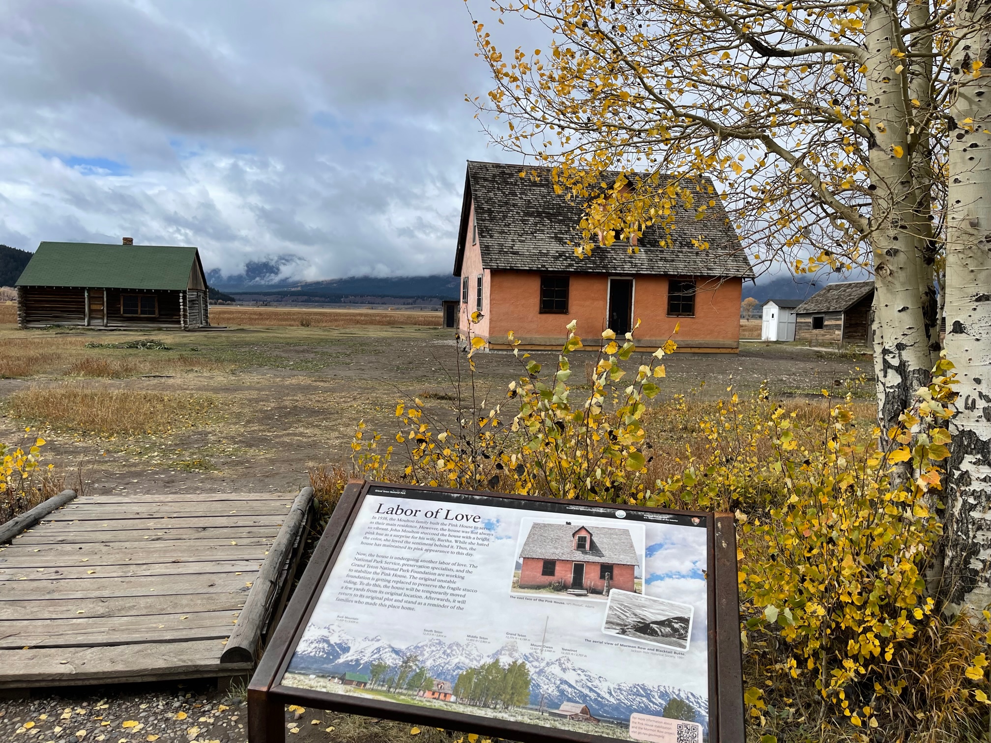
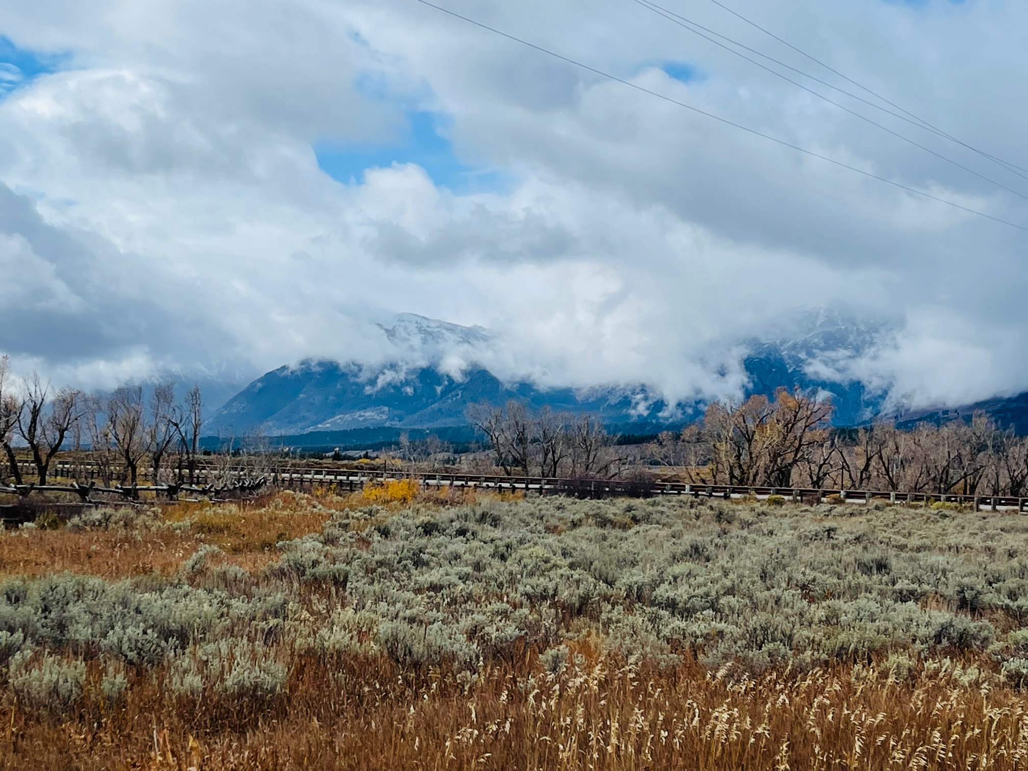
On my way out of the row the sun lightly peaked through again, so I took another photo of the Tetons.
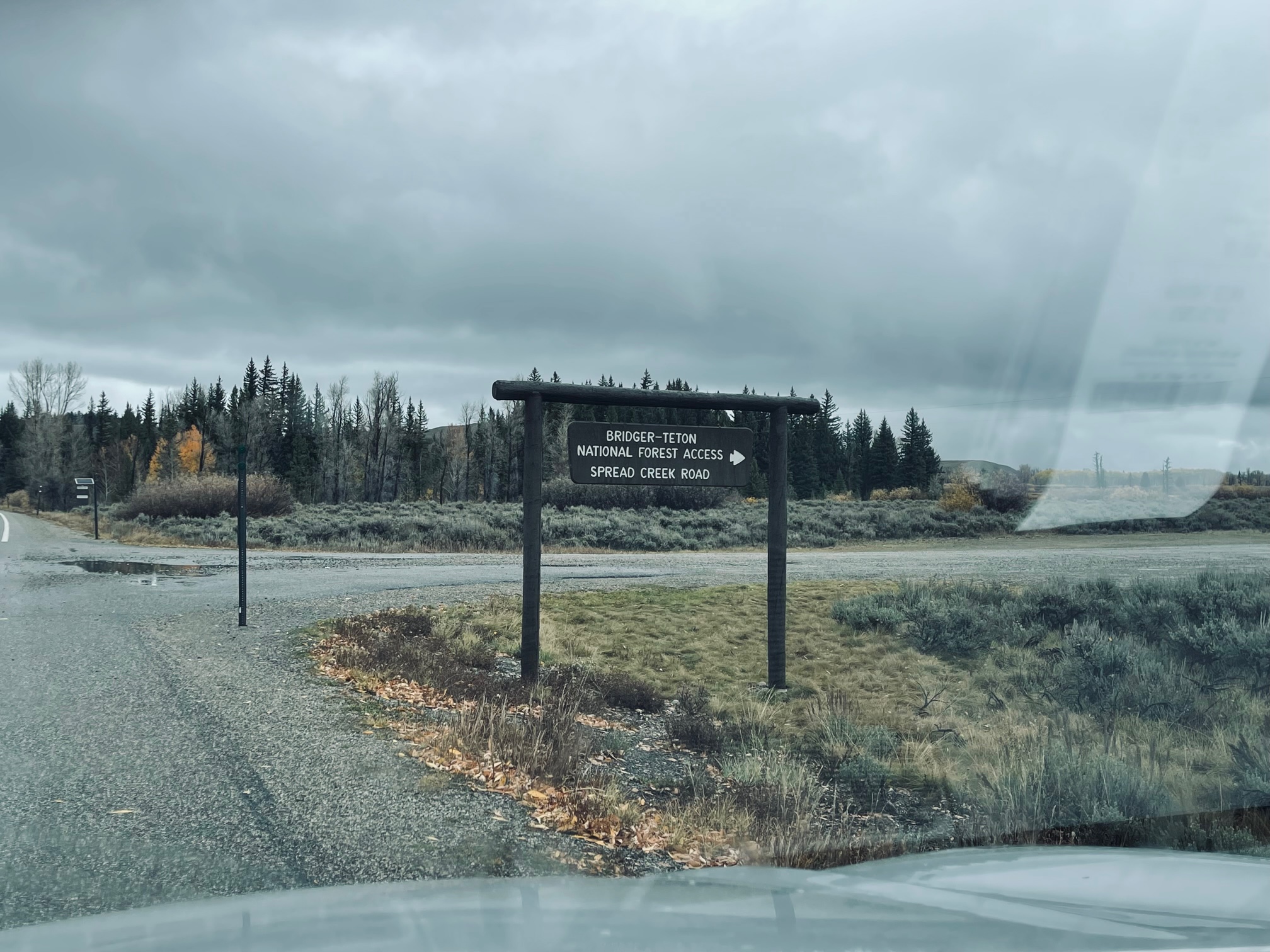
My final stop was at the Bridger-Teton Spread Creek Dispersed Camping Area. This is the spot where 22-year-old Gabby Petitio’s body was found by authorities. She was (allegedly) killed by her fiancé Brian Laundrie that made national news over the past two months.
It took me about 10 minutes off the main highway to the spot where Laundrie had parked their van the day she was killed. The dirt road is a bit rough so if you drive it, I suggest going slow, even in an SUV! At the site, I could not for the life of me find the stone cross in the ground or these sticks that spelled out Gabby’s name!
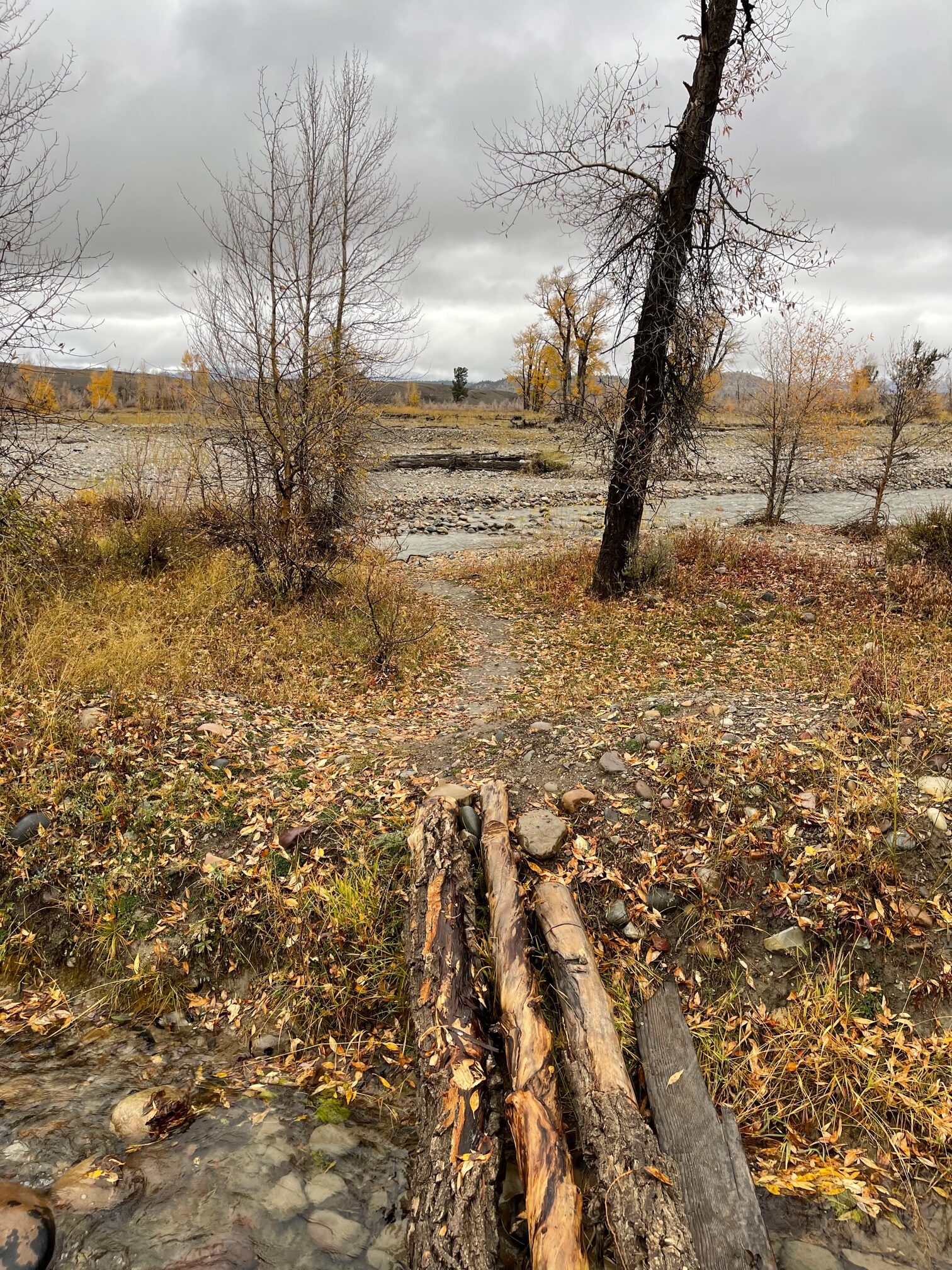
I did, however, spot a tree on the other side of the creek with an orange sticker on it, but unfortunately, I could not cross the second half of the creek without getting my feet soaked. There was no place to step over the water! I also had just crossed over three wet logs (and gave myself a bruise in my leg) on the first part of the creek. I had enough, LOL! I said my respects and took a shot of where her body was supposedly found.
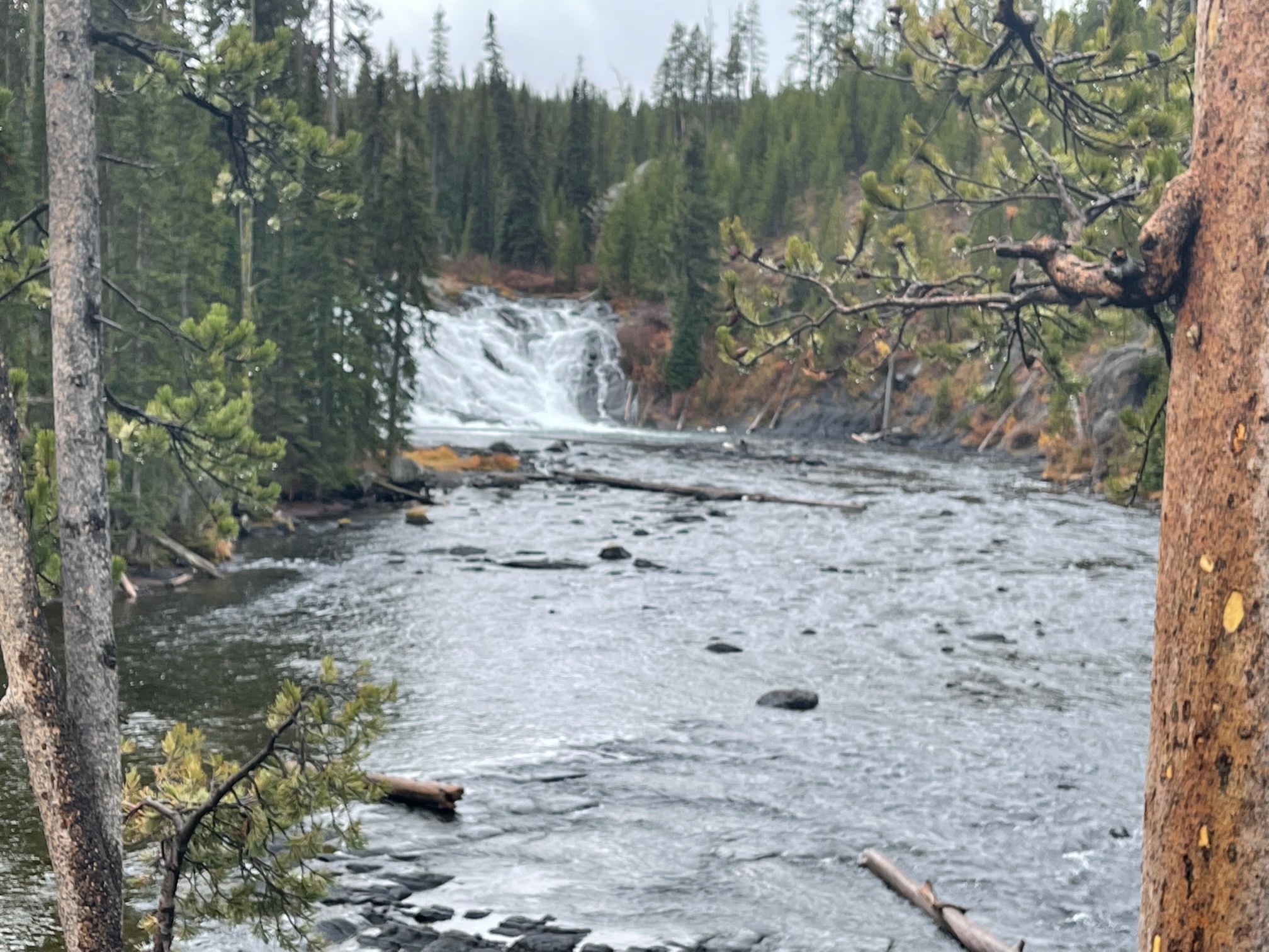
Once I got back in Yellowstone, I stopped at Lewis Falls, which are 30 feet tall and named after Meriwether Lewis of Lewis and Clark. I had seen these falls on the way down to Grand Teton but made a note to myself to take a photo on the way back.
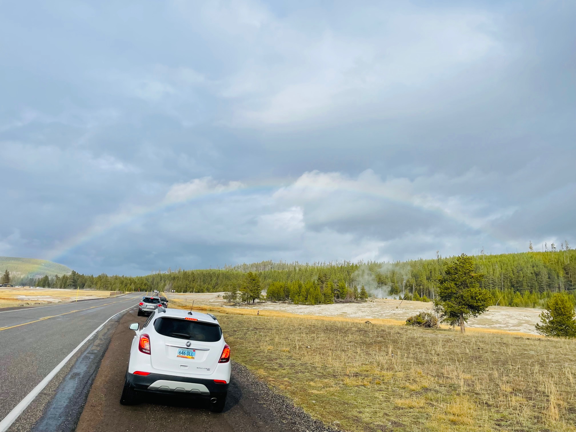
Once I got to the Continental Divide section, I saw some light snow that had developed (maybe half an inch, I don’t have a photo but a video on my Instagram page!) and minutes later, there was a rainbow toward the Midway Geyser Basin.
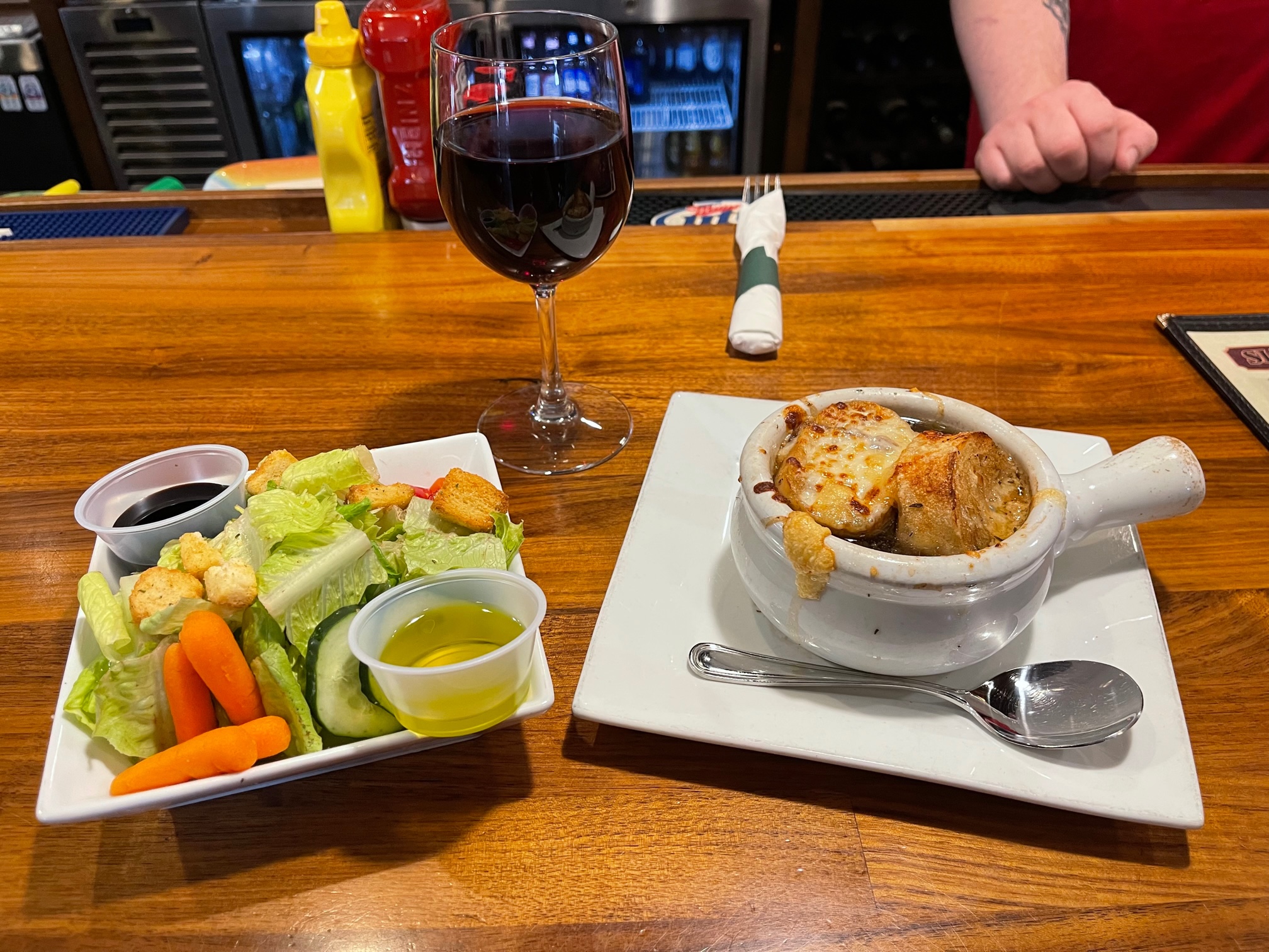
Once out of the park, I went to West Yellowstone to find some food! West Yellowstone was the first town that I found had the most open restaurants. I decided on the Slippery Otter Pub with a glass of Pinot Noir, a side salad and a crock of French Onion soup. It was decent but I was just so hungry at that point!
Day 4 – Sunday, October 10
Idaho Falls
This was my last day of waking up early, this time at 630am. Thank god, it was worth it but I was exhausted from all of the driving!
On this day, I originally was going to head toward Idaho Falls on a 2 1/2 hour journey to the Idaho Potato Museum, deemed a National Register of Historic Place and the state’s only potato museum. Unfortunately, unbeknownst to me, the museum was closed on Sundays! Nonetheless, it was not the main reason why I was heading in that direction and I still had a few other spots I wanted to check out.
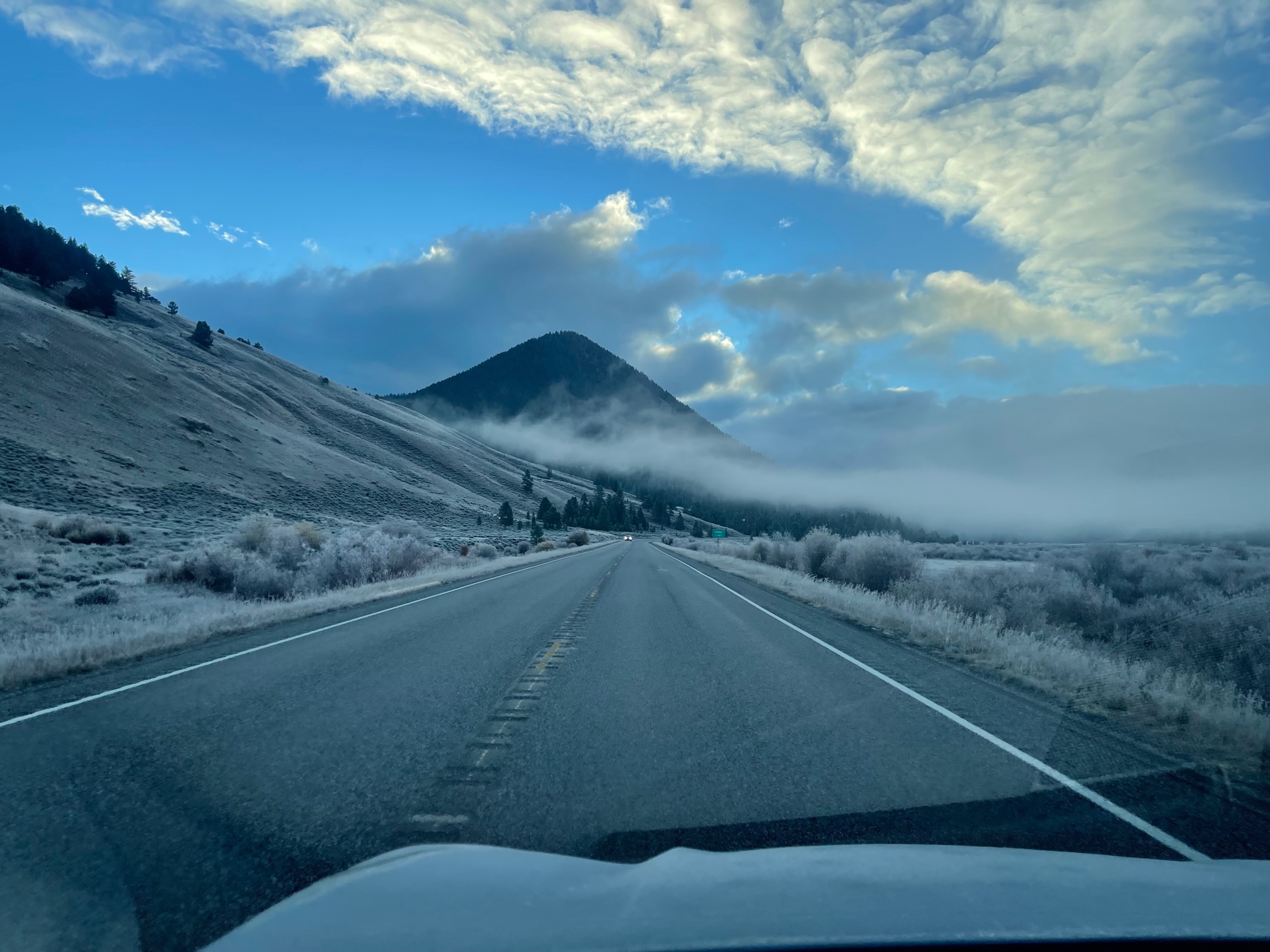
That morning, I went back to Caliber Coffee Roasters and ordered another latte, this time with a vanilla flavor. It still wasn’t too sweet, thank god! On my drive to Idaho, I was greeted by frost in Big Sky, MT!
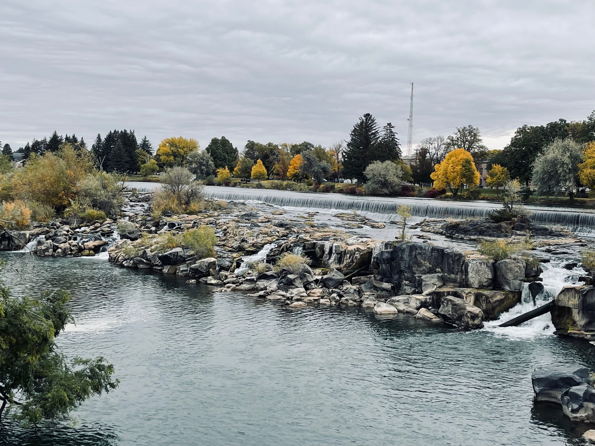
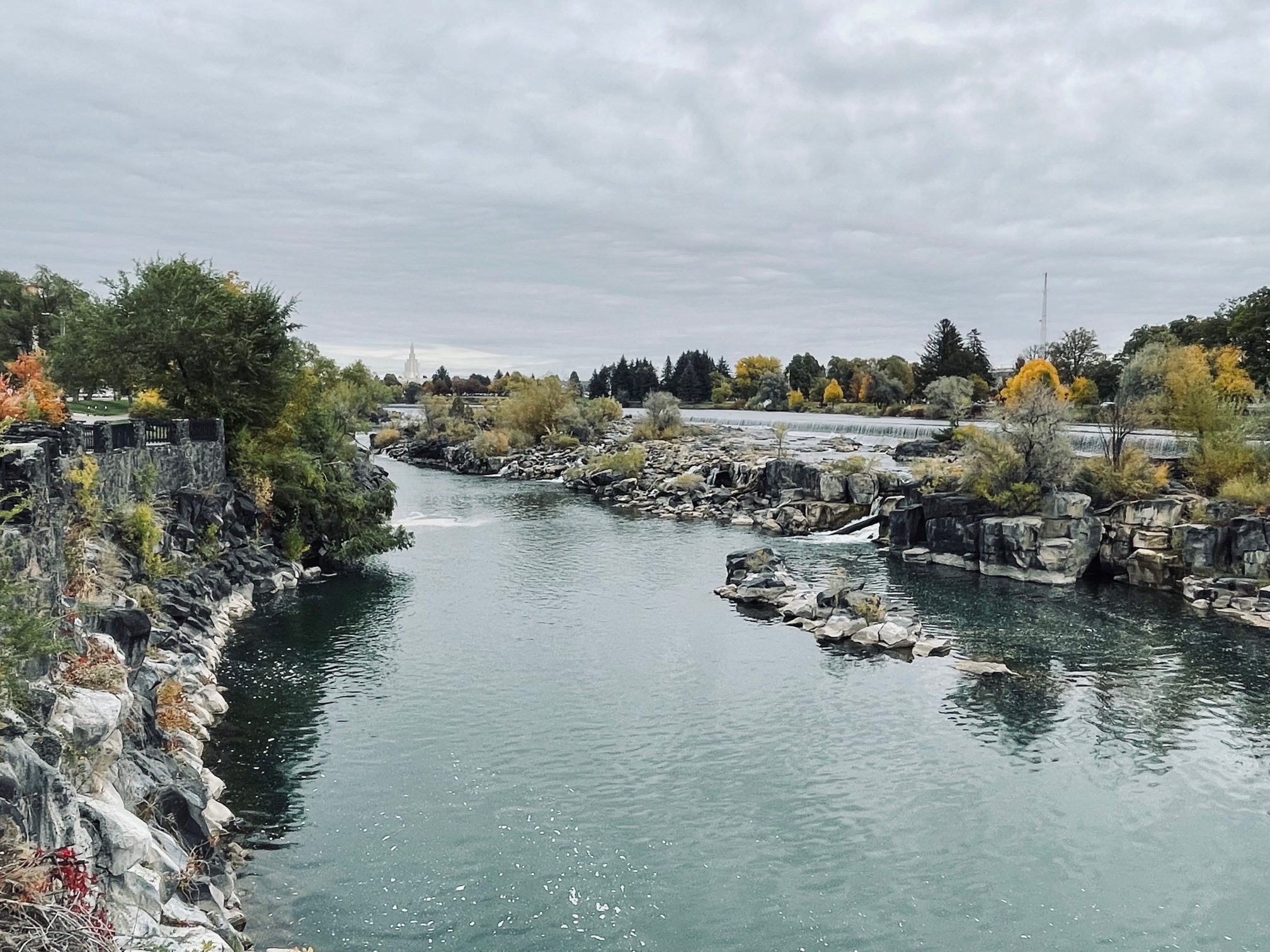
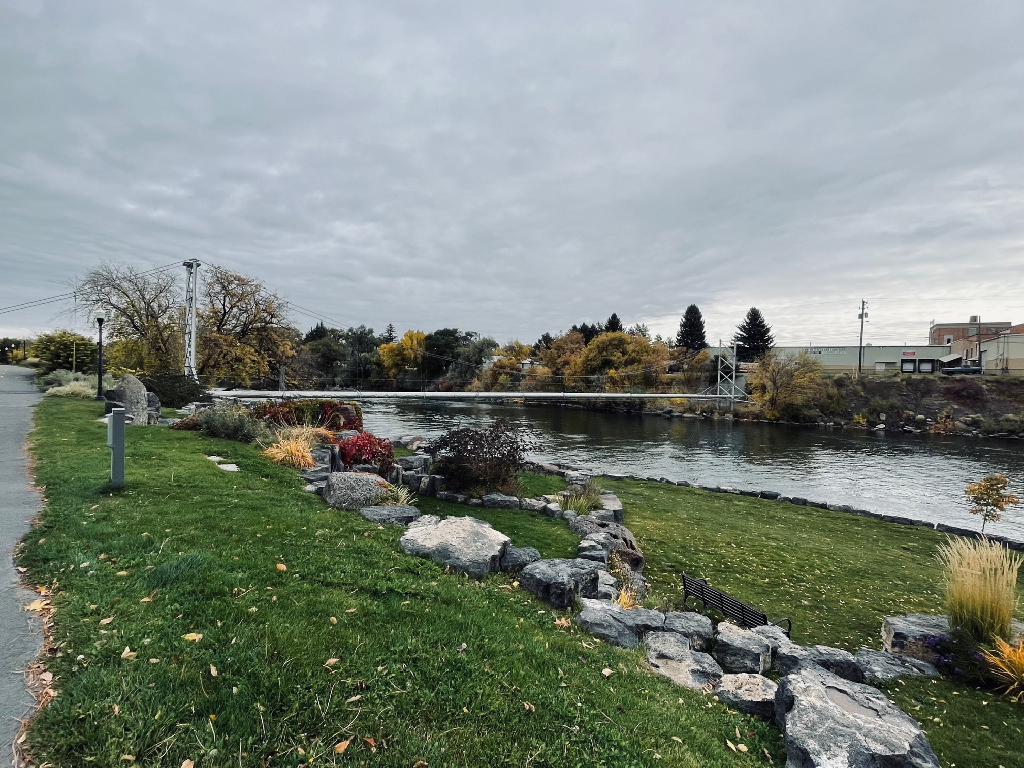
A couple hours later, I was in Downtown Idaho Falls to walk along the Falls River Walk, a 14 mile walk of the river bank, and to view the falls itself. It was so nice just to relax and take in the sound of the water! I also saw a unique pipe bridge over the river and seats that were carved out of bears and wolves!
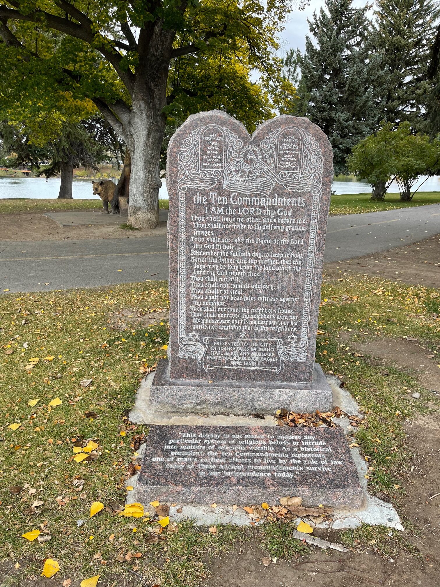
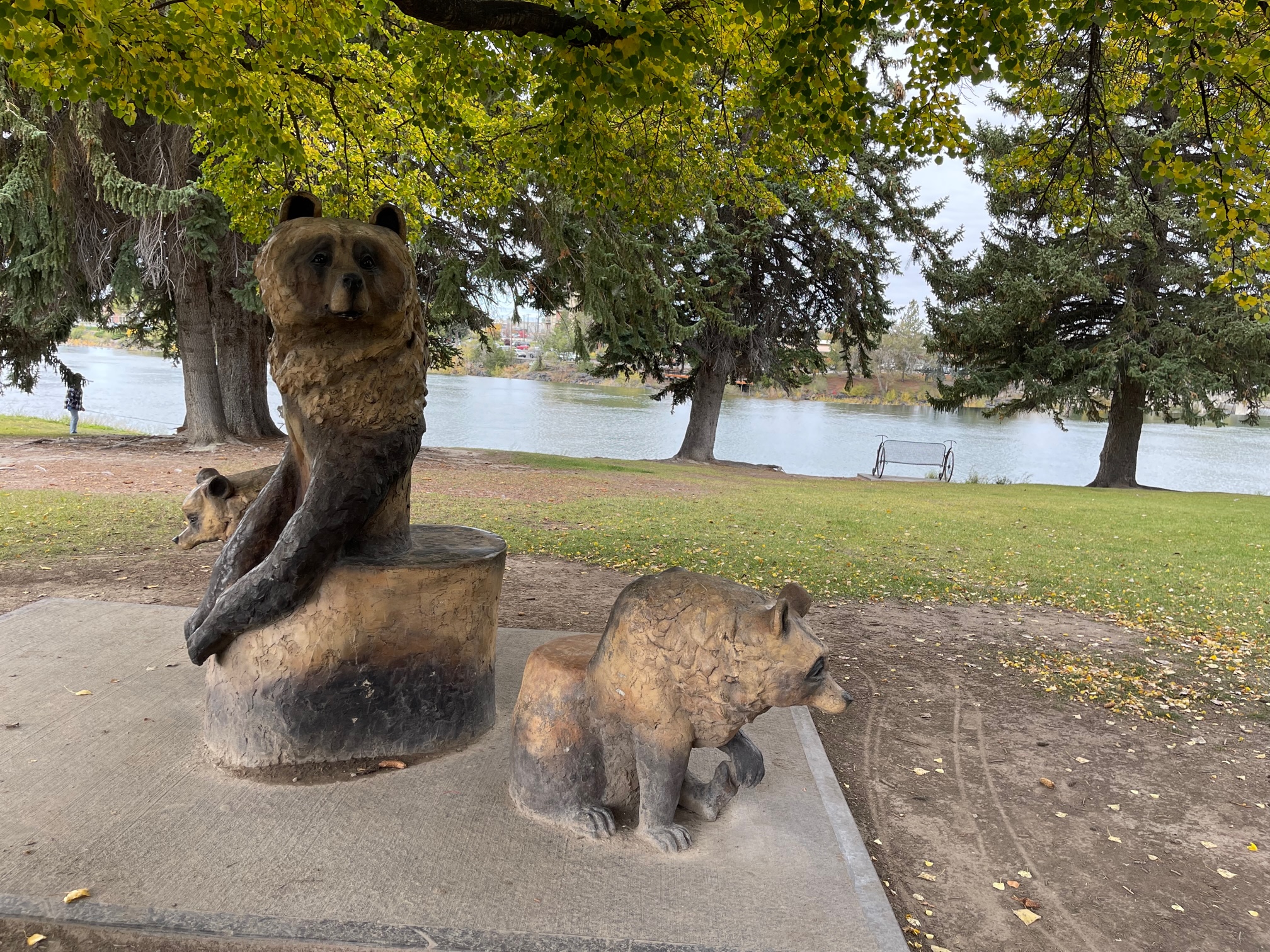
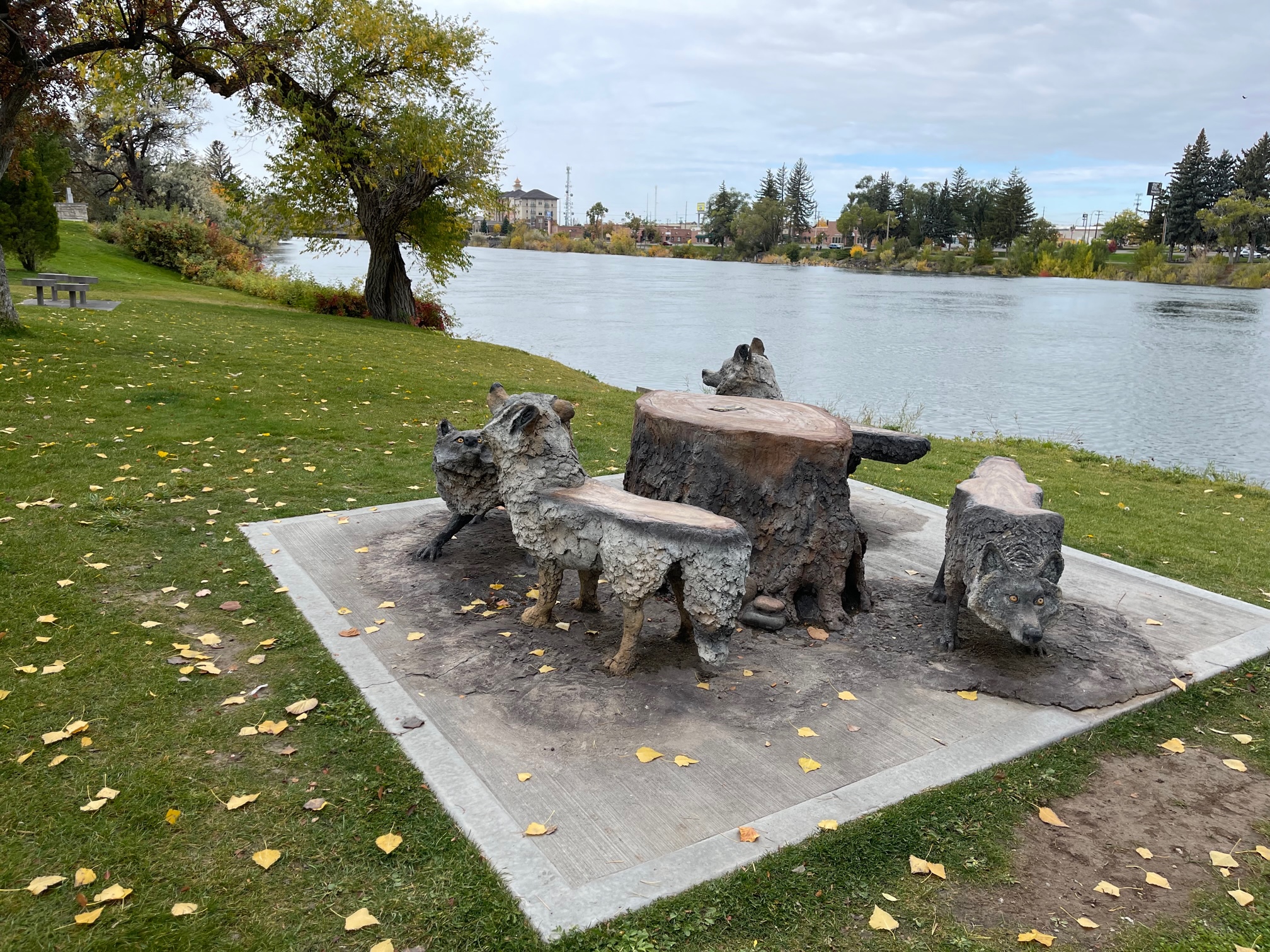
Not too far away was Eagle Rock Fountain, which was in the center of a roundabout. It also serves as the official Welcome Sign for the city!
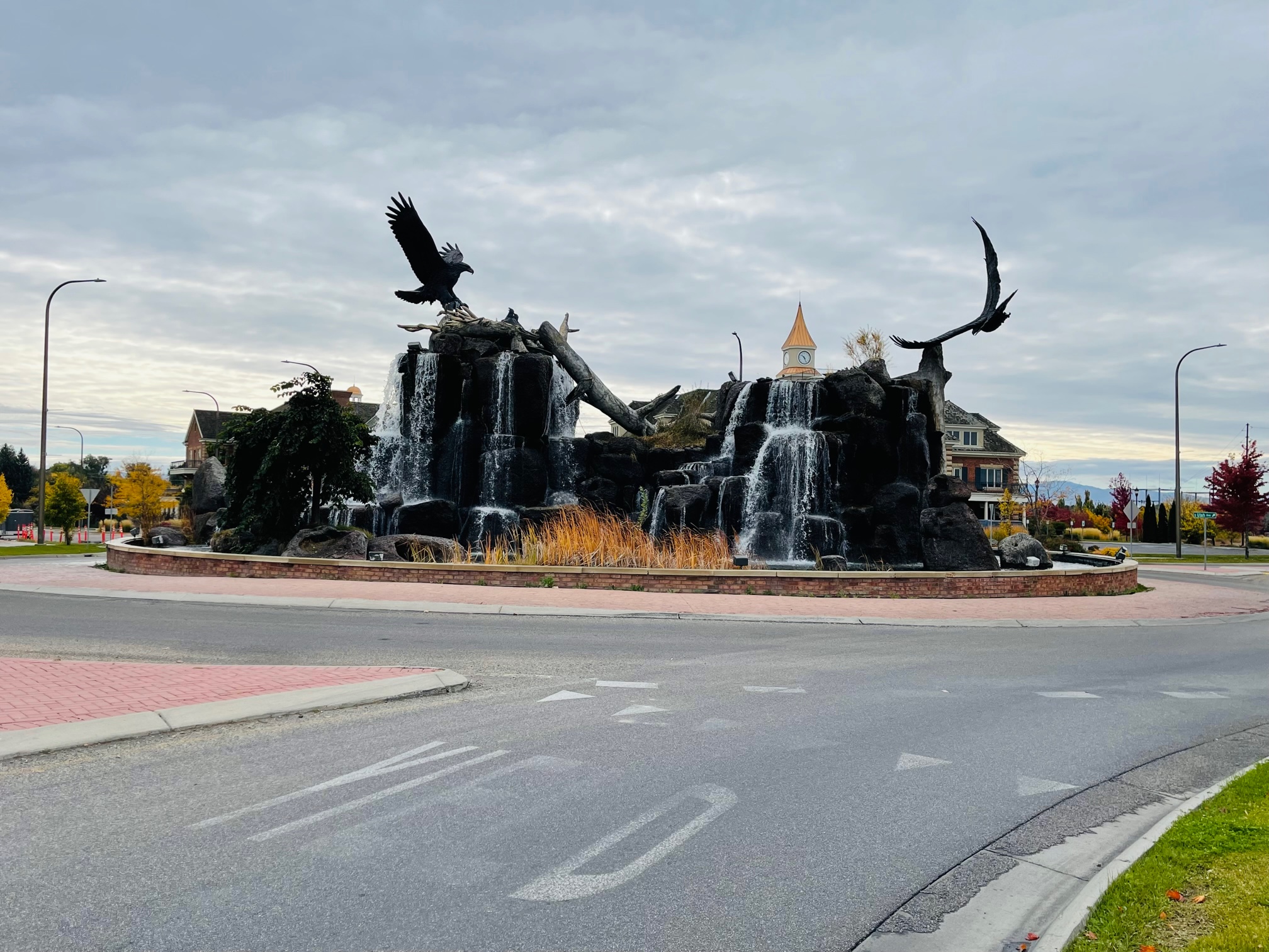
Yellowstone Bear World
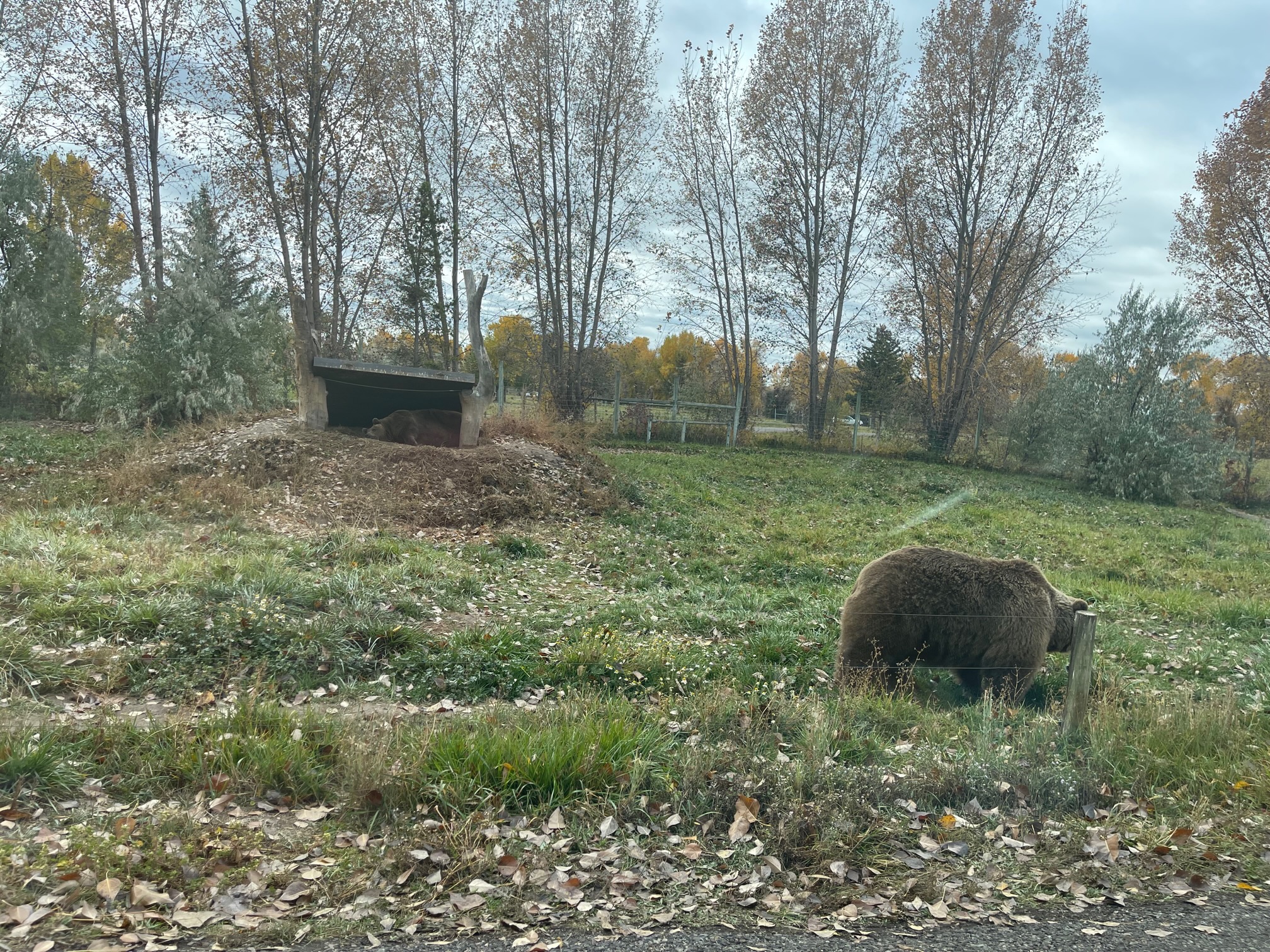
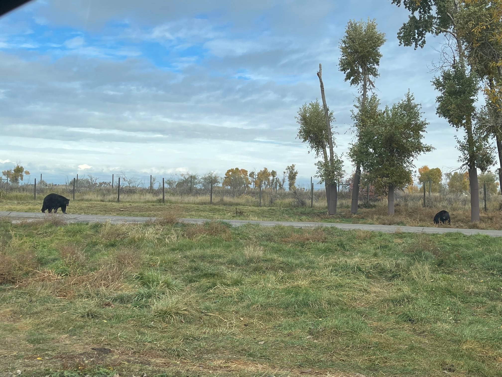
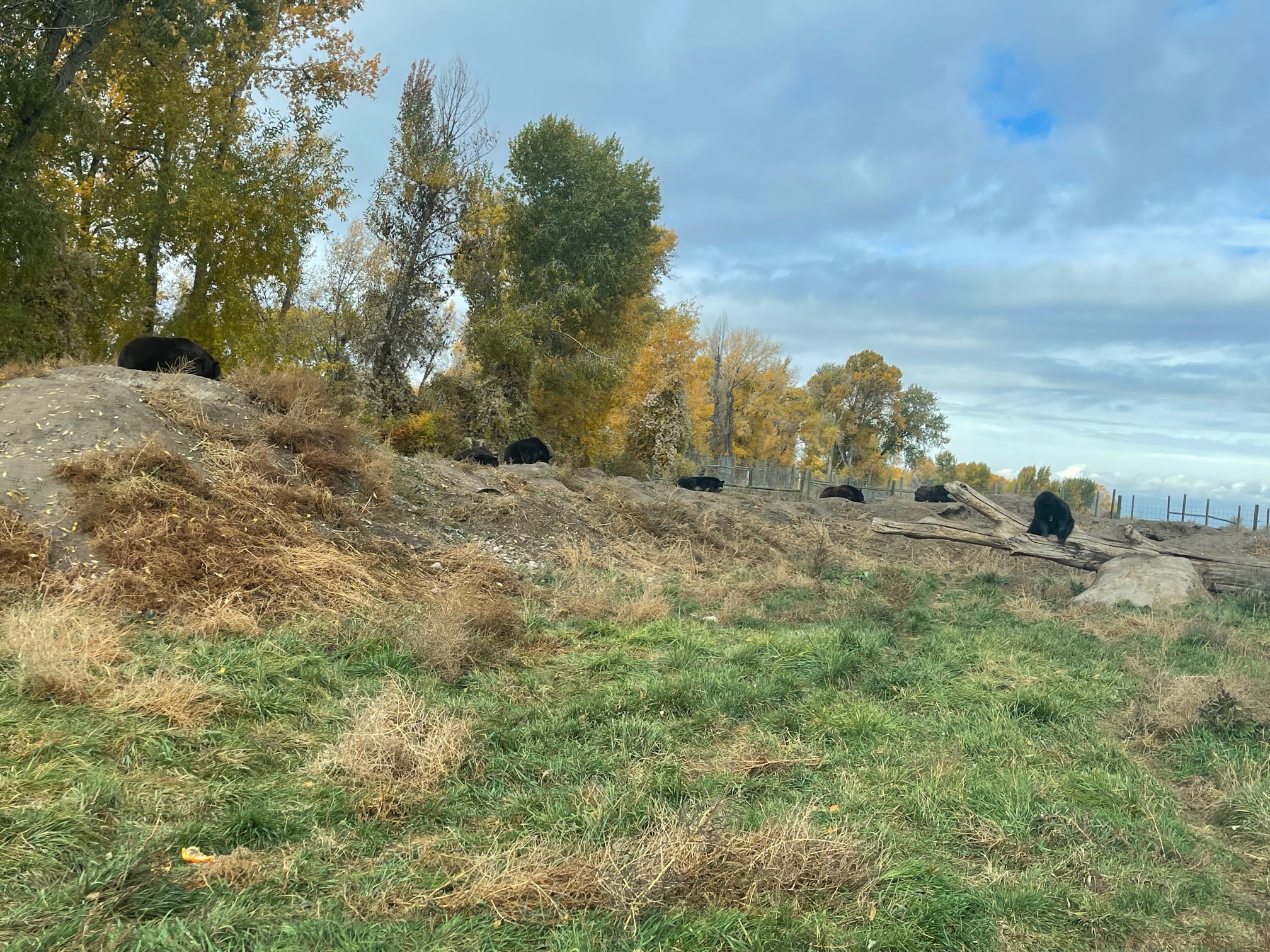
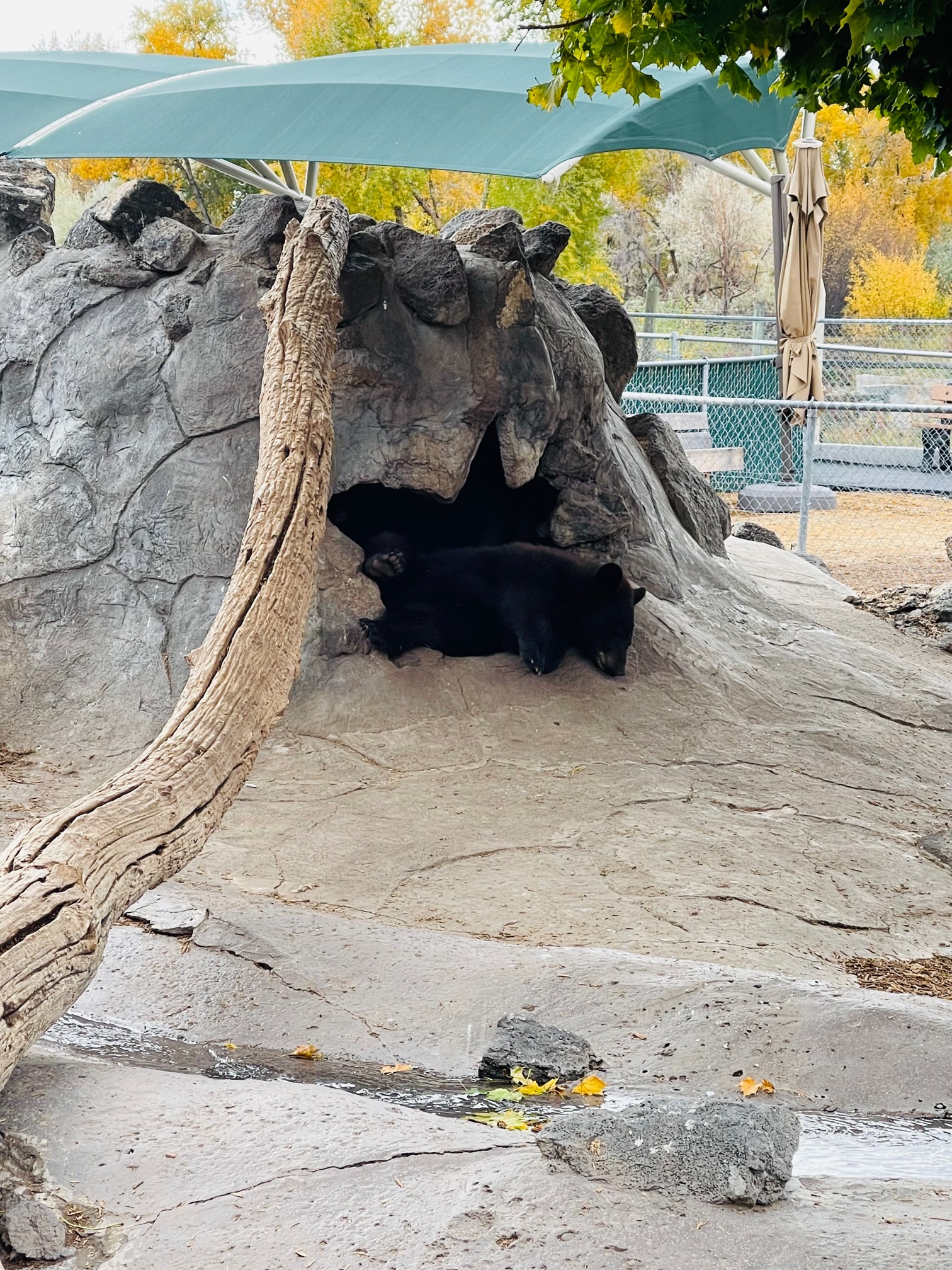
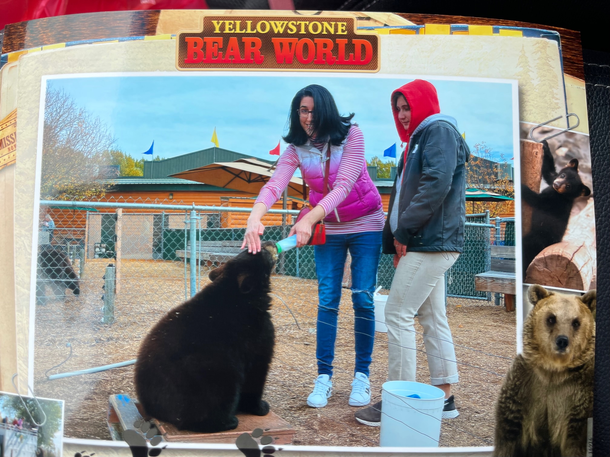
About 30 minutes north of Idaho Falls in Rexburg, ID is a place with an experience I will never forget: Yellowstone Bear World ($23.95), a drive-thru wildlife park with elk, bison, deer, goats, moose, black bears and grizzly bears! During the drive-thru, I had to drive 3 to 5 mph, lock my car doors and roll up my windows. But all of the animals were super chill!
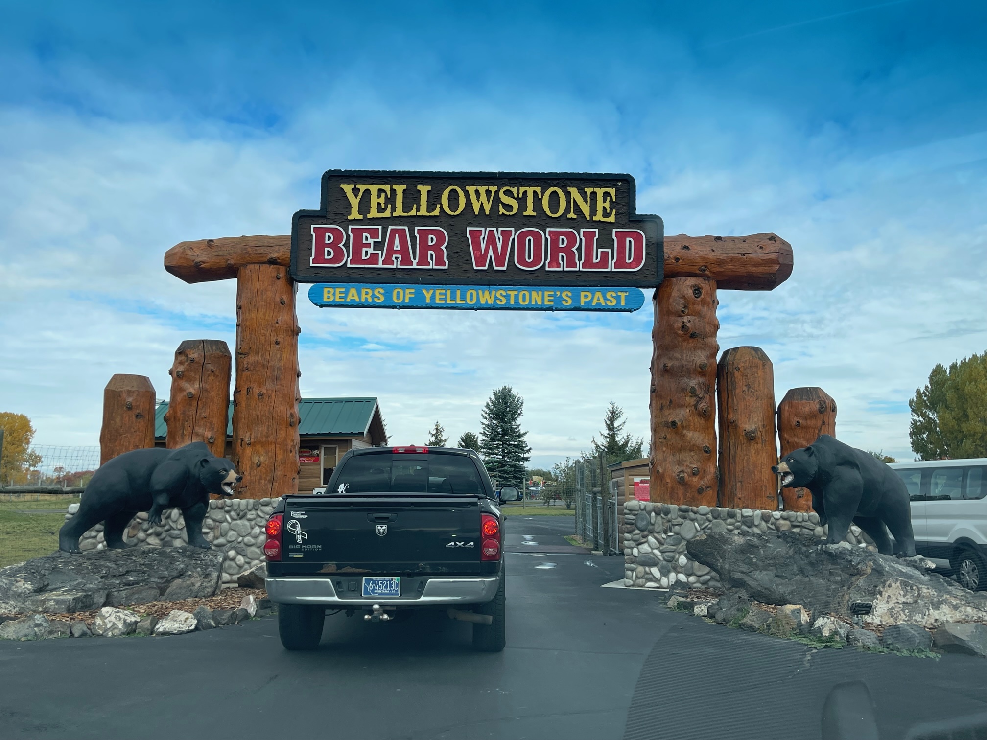
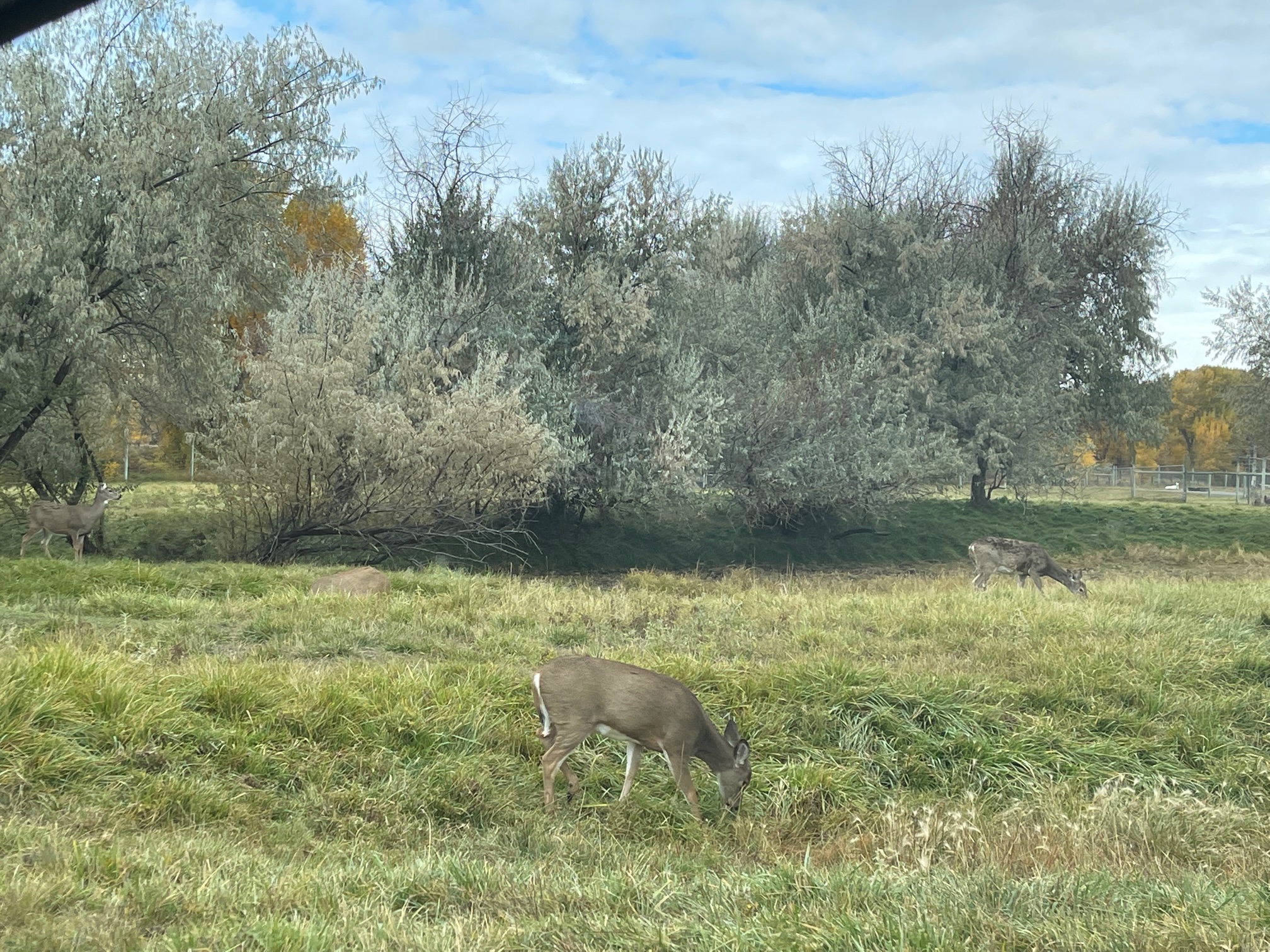
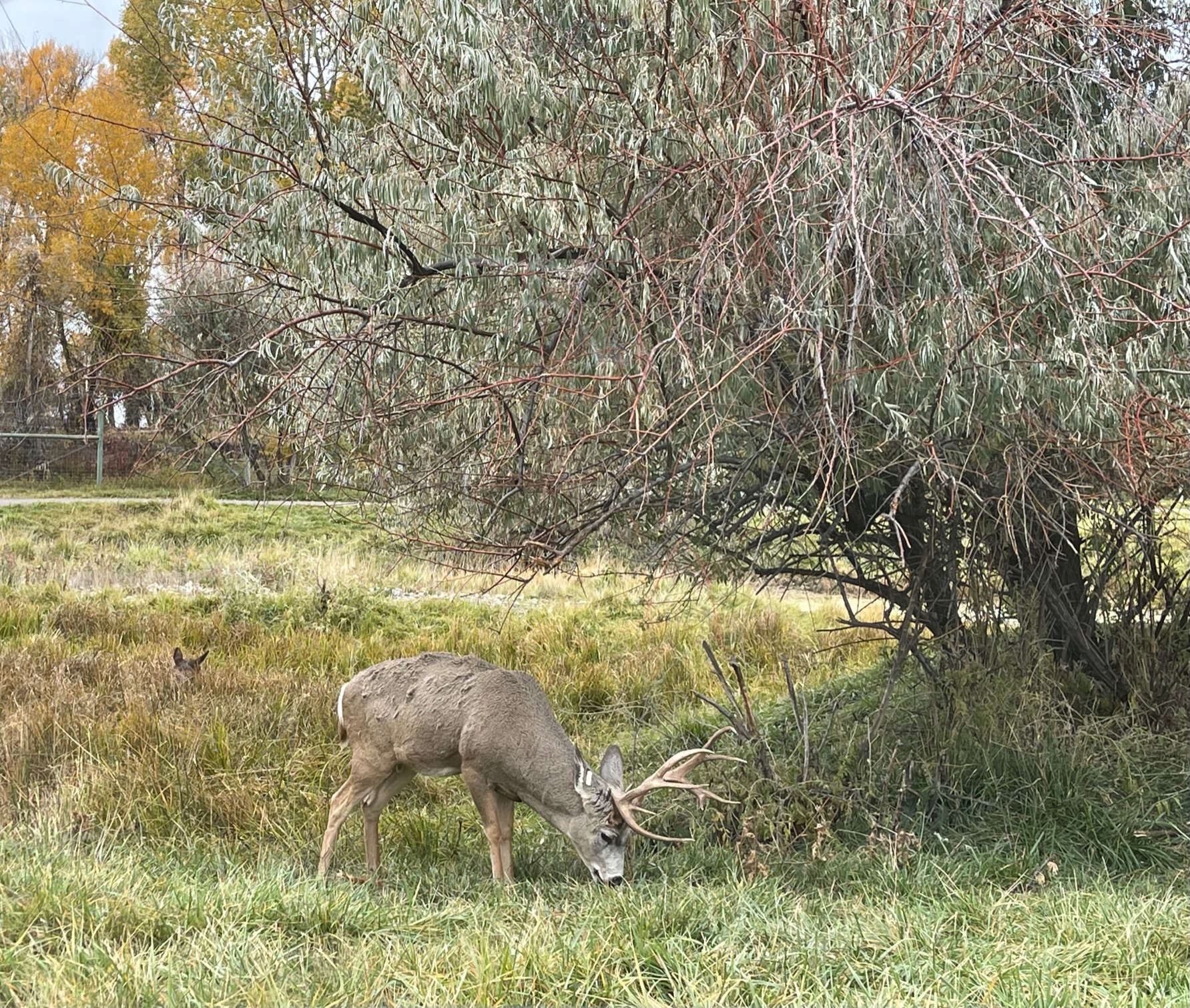
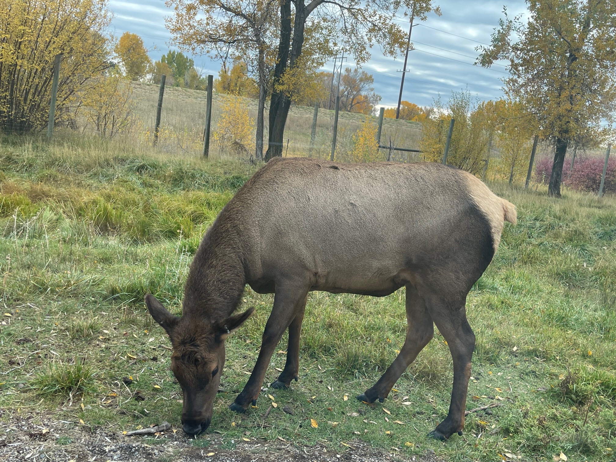
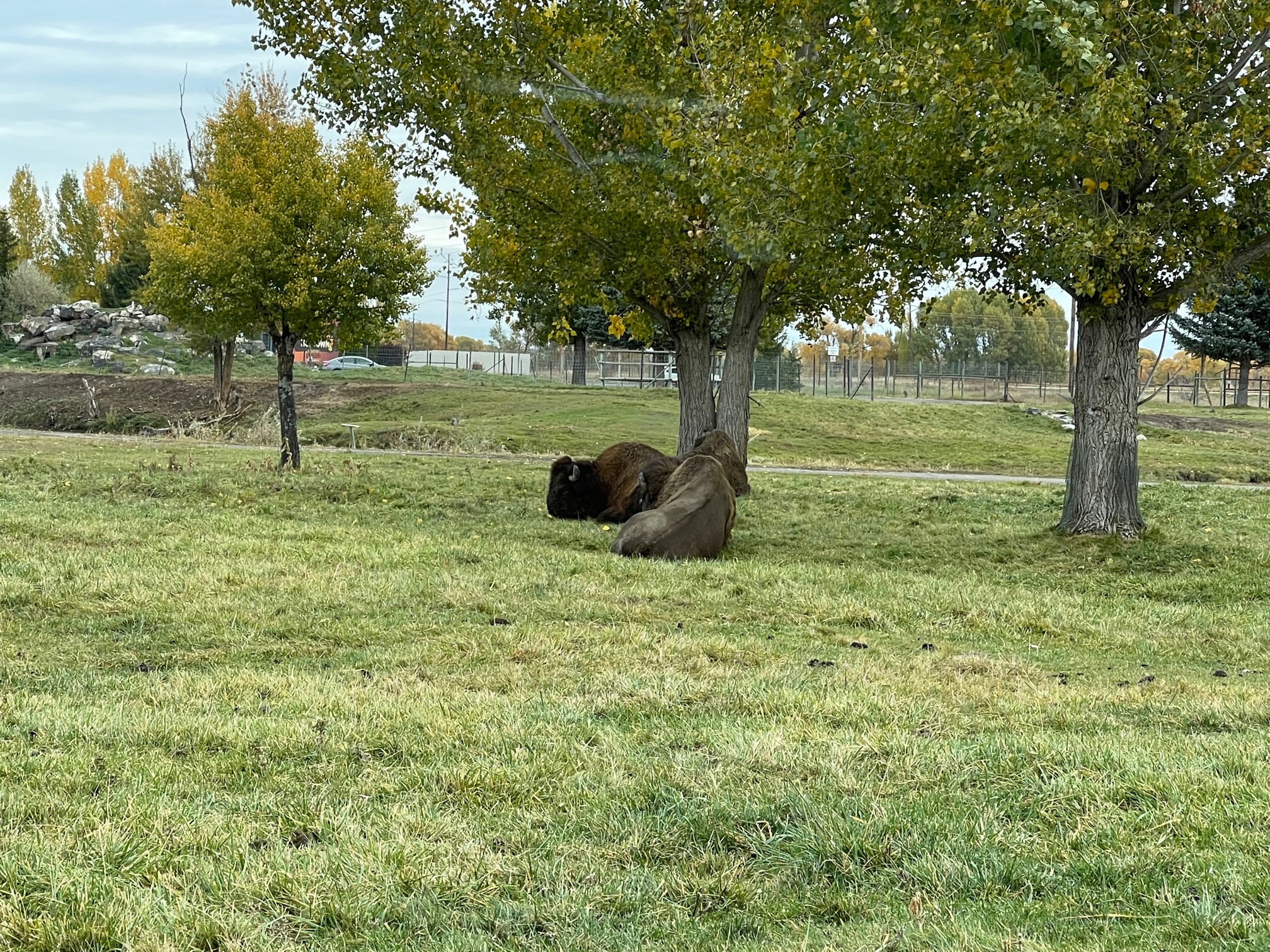
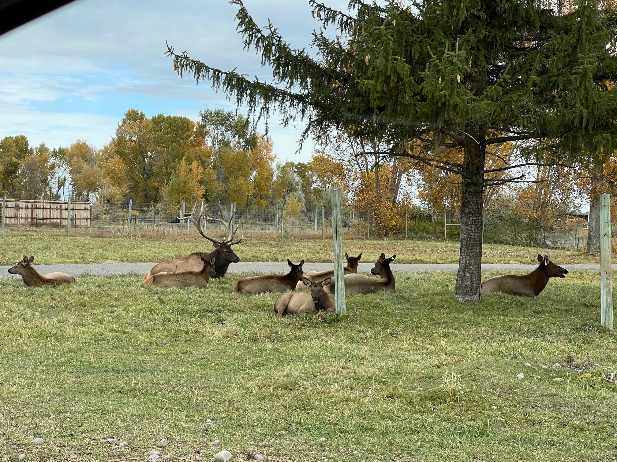
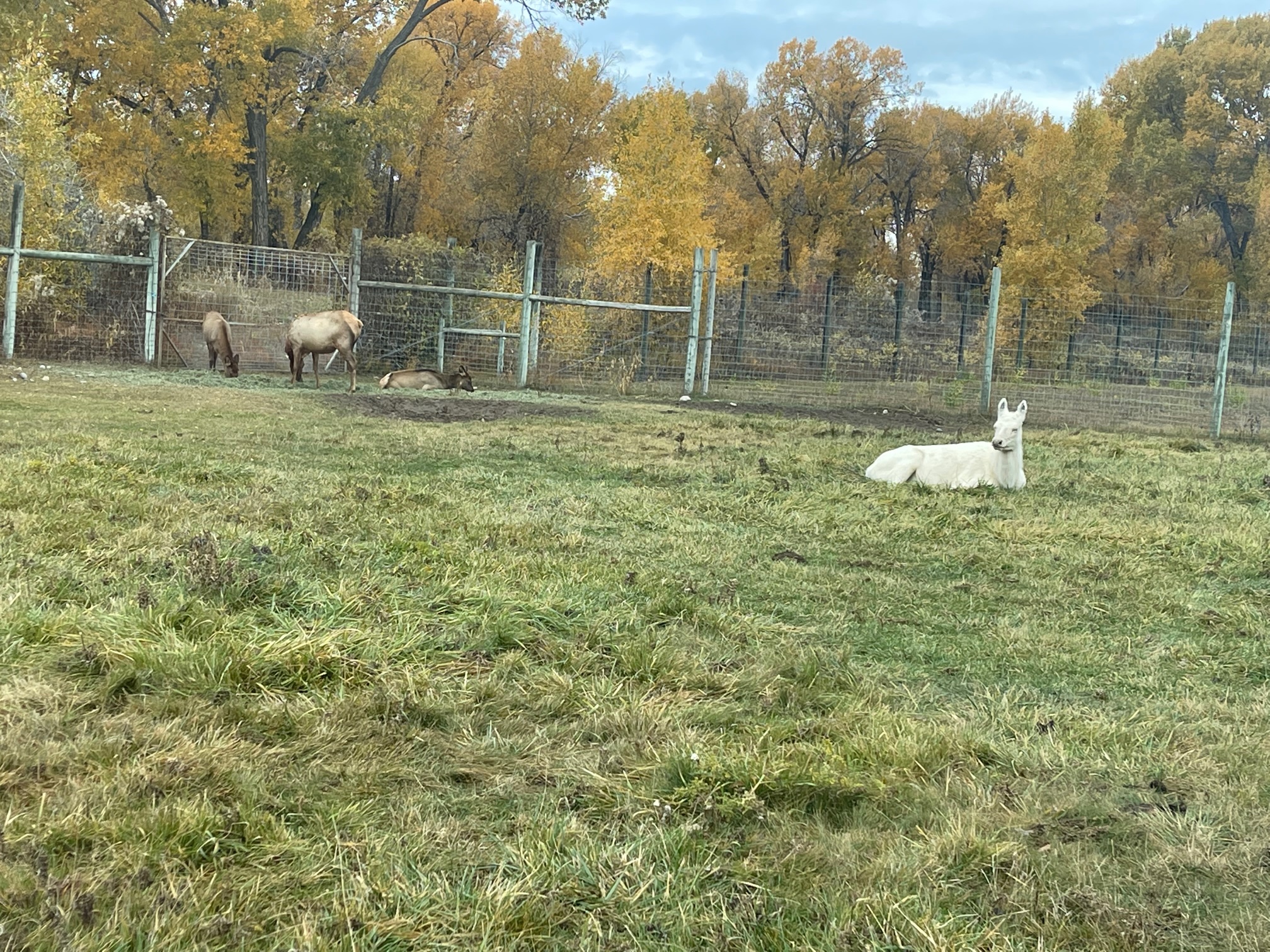
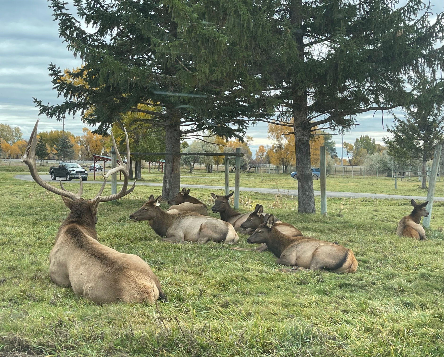
I also had the opportunity to bottle feed three 9-month-old cubs ($55)! My feeding experience was at 2pm but I had to get there an hour early to check in and complete an orientation for 10 minutes. I also wasn’t allowed use my cell phone as it would excite the cubs too much and had a professional photographer take my photo (it didn’t cost extra, unless you wanted a full USB drive for $23). I was also told to only pet their heads because they don’t like it when their ears or back are scratched. The experience lasts about 30 minutes and they make a cute sound when they see the bottles because they know it’s feeding time!
I highly suggest going to this park, it is so worth it!
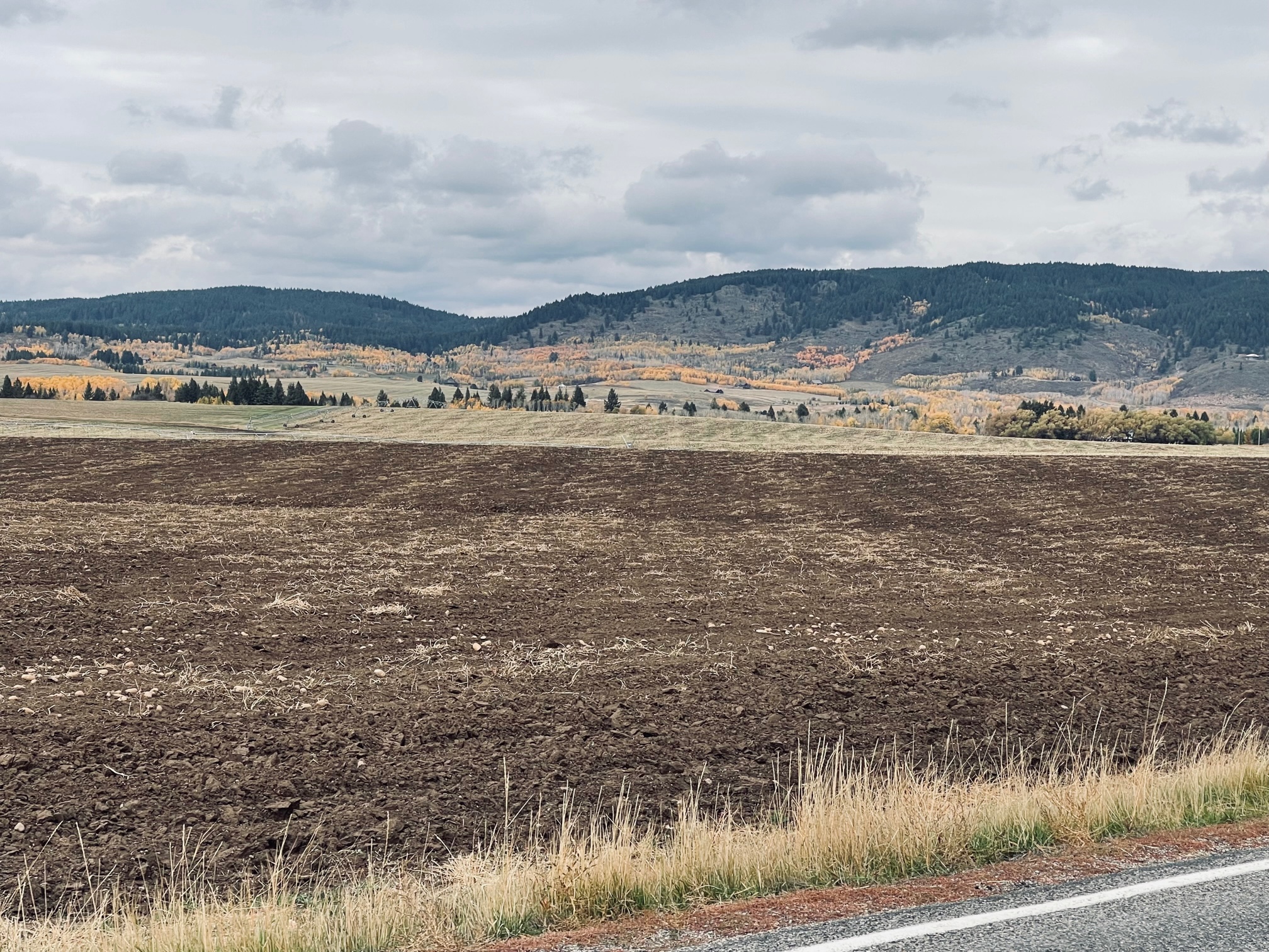
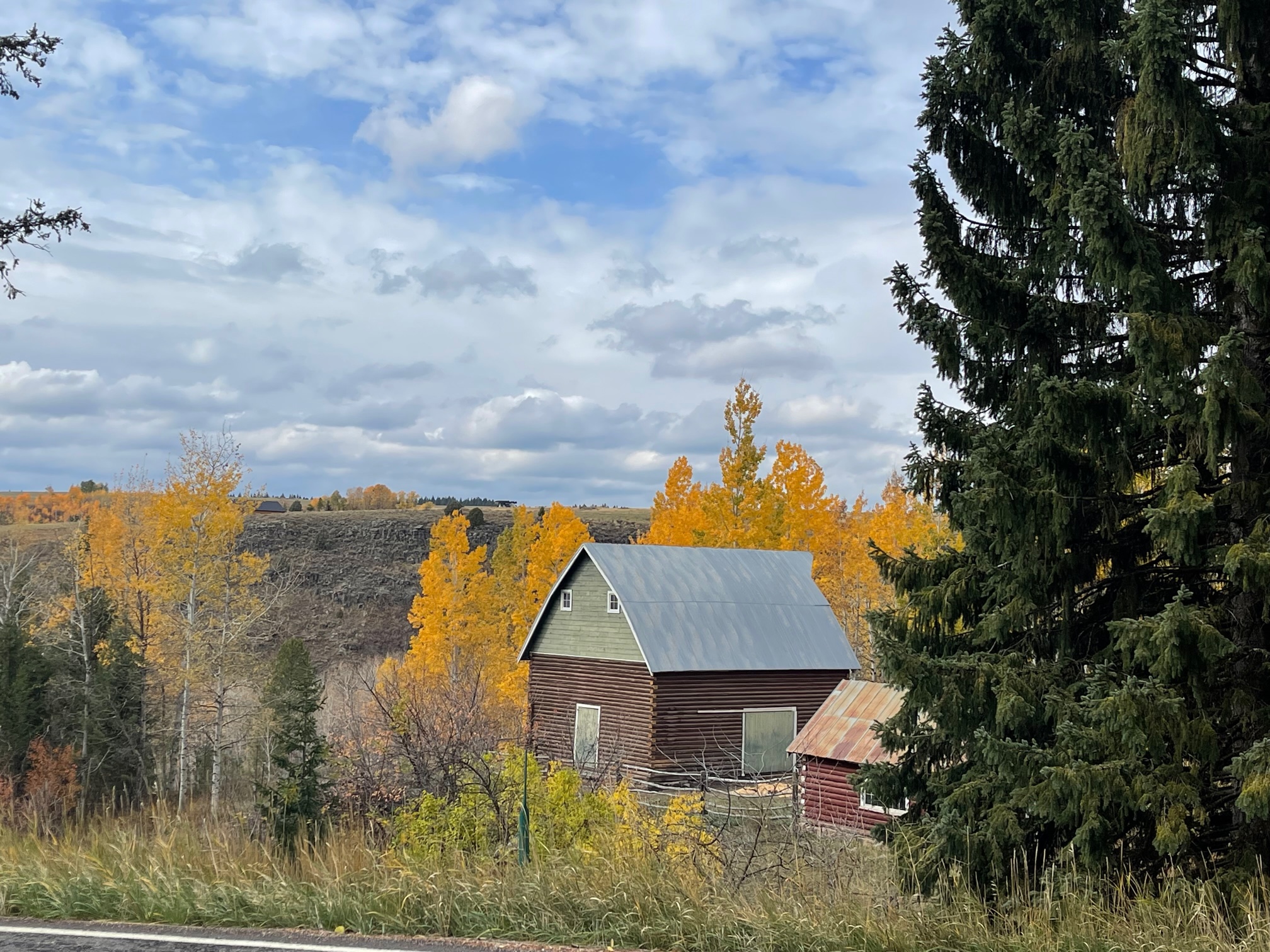
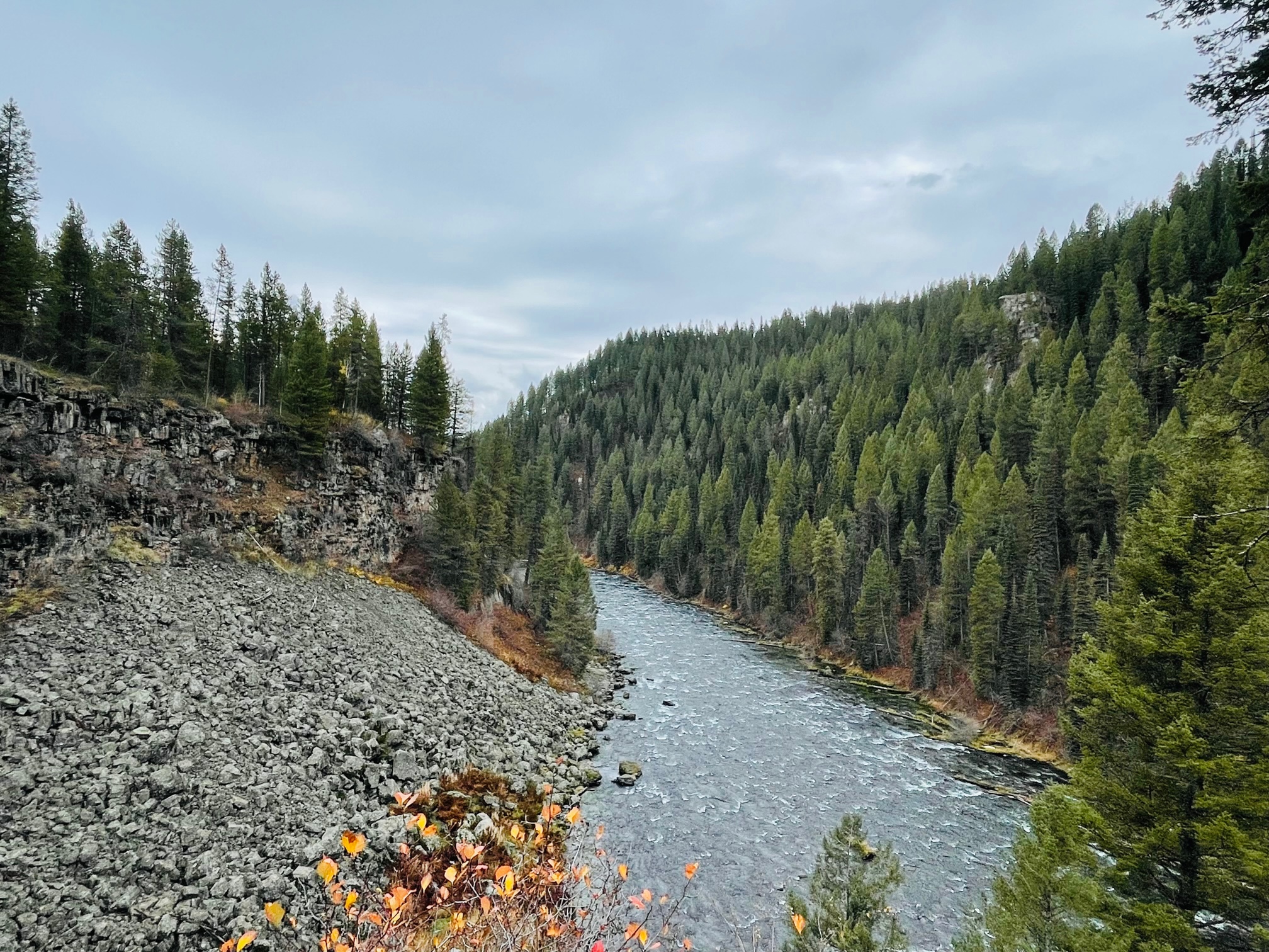
My last touristy stop of the day was on the Mesa Falls Scenic Byway, a 26 mile roadway with scenic shots of the Caribou-Targhee National Forest and of the Upper and Lower Mesa Falls, a 10 story tall waterfall.
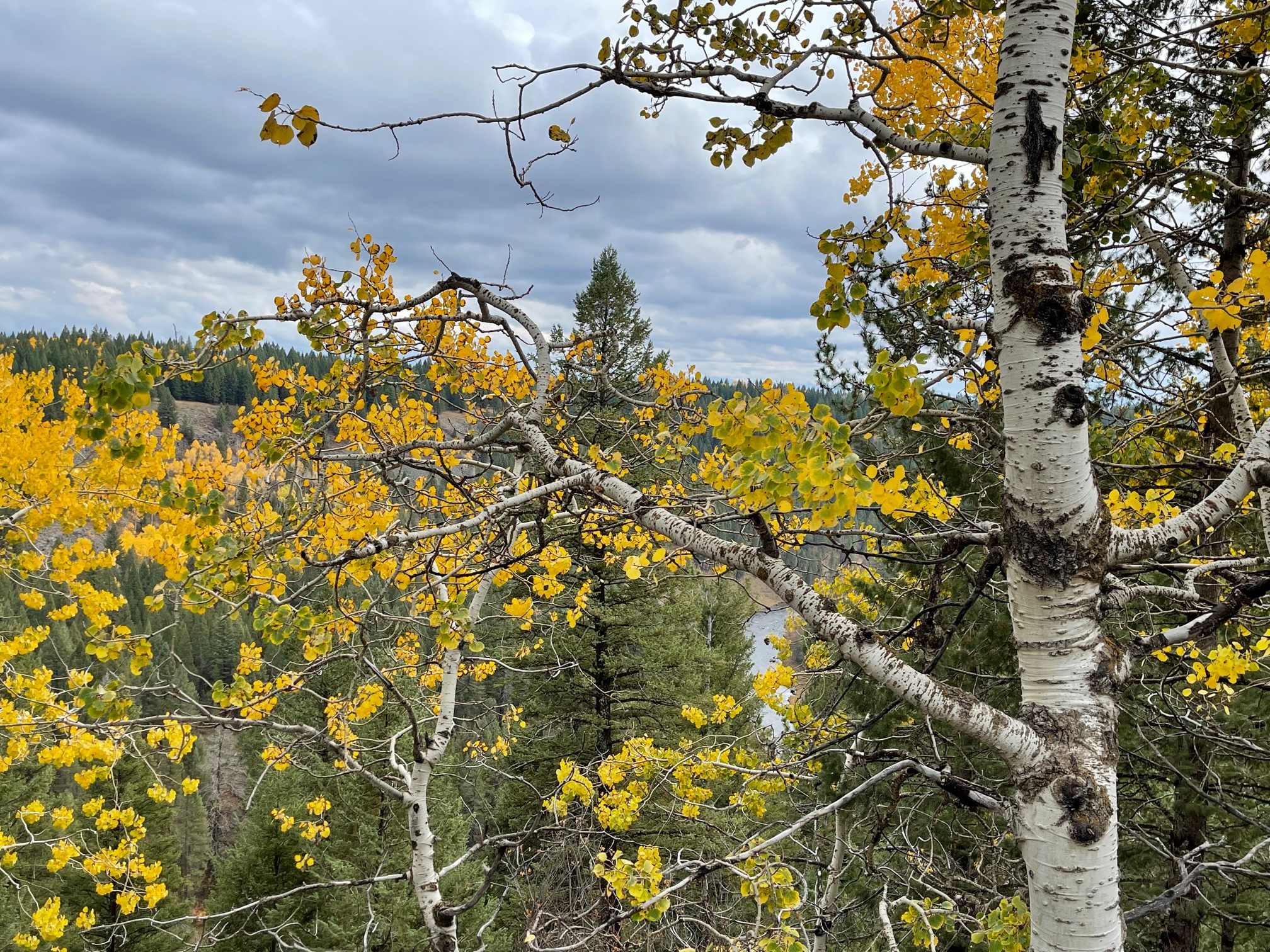
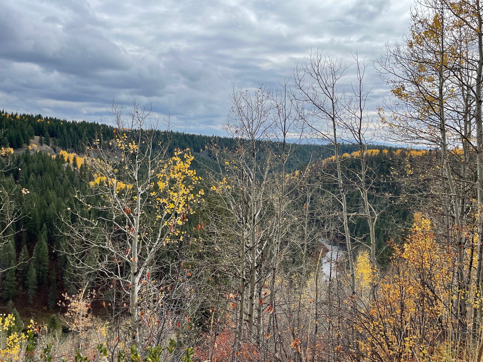
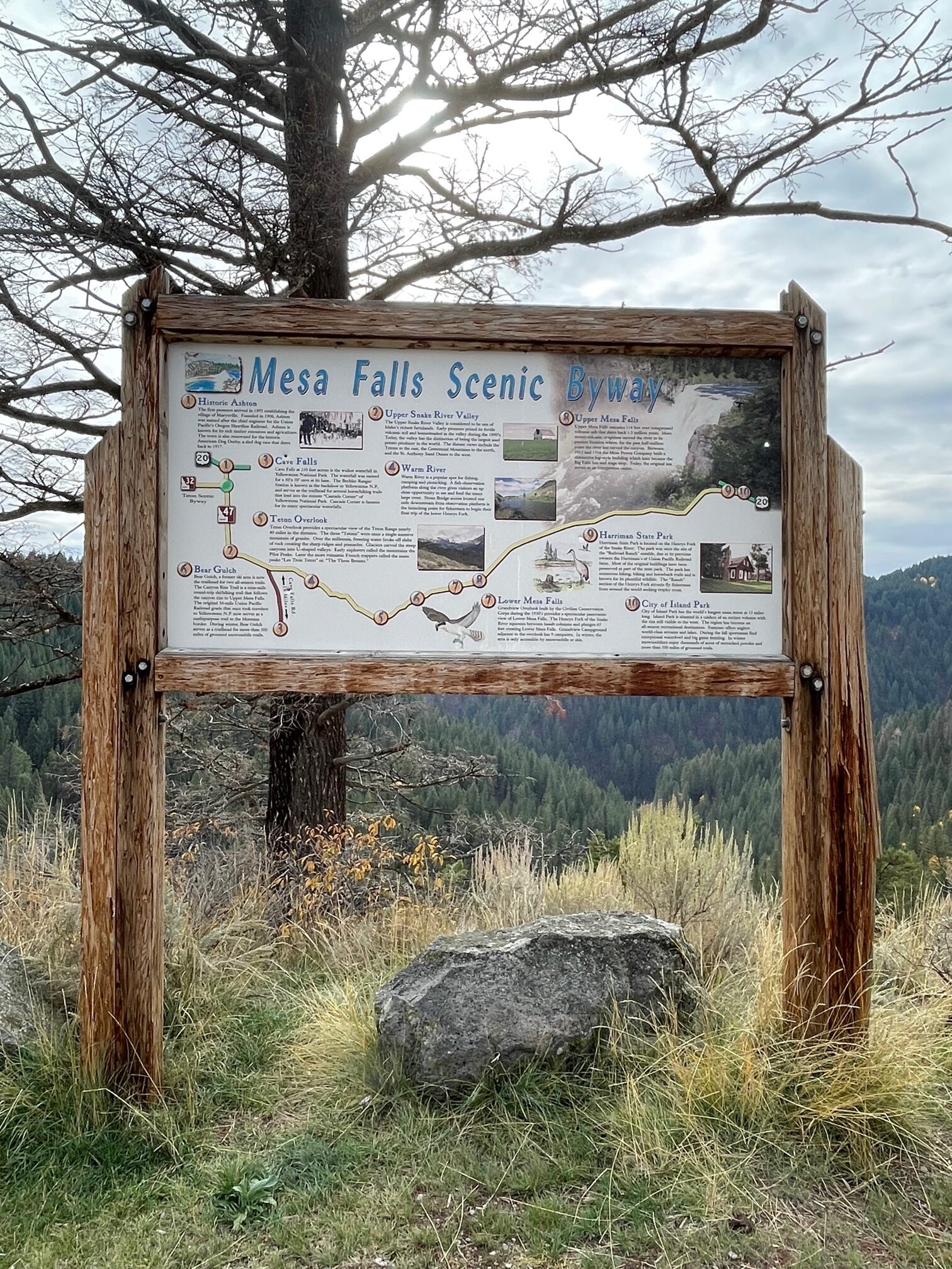
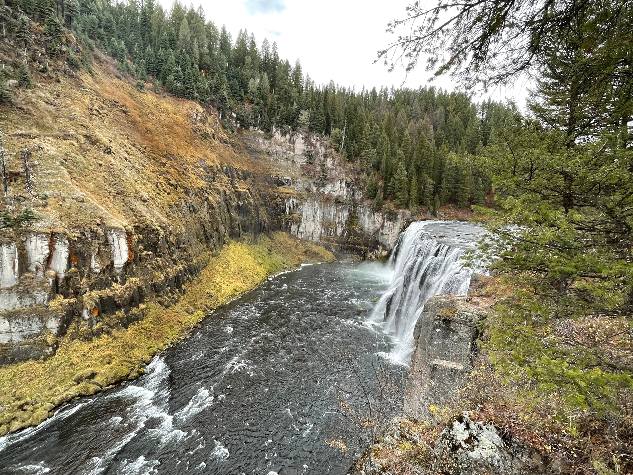
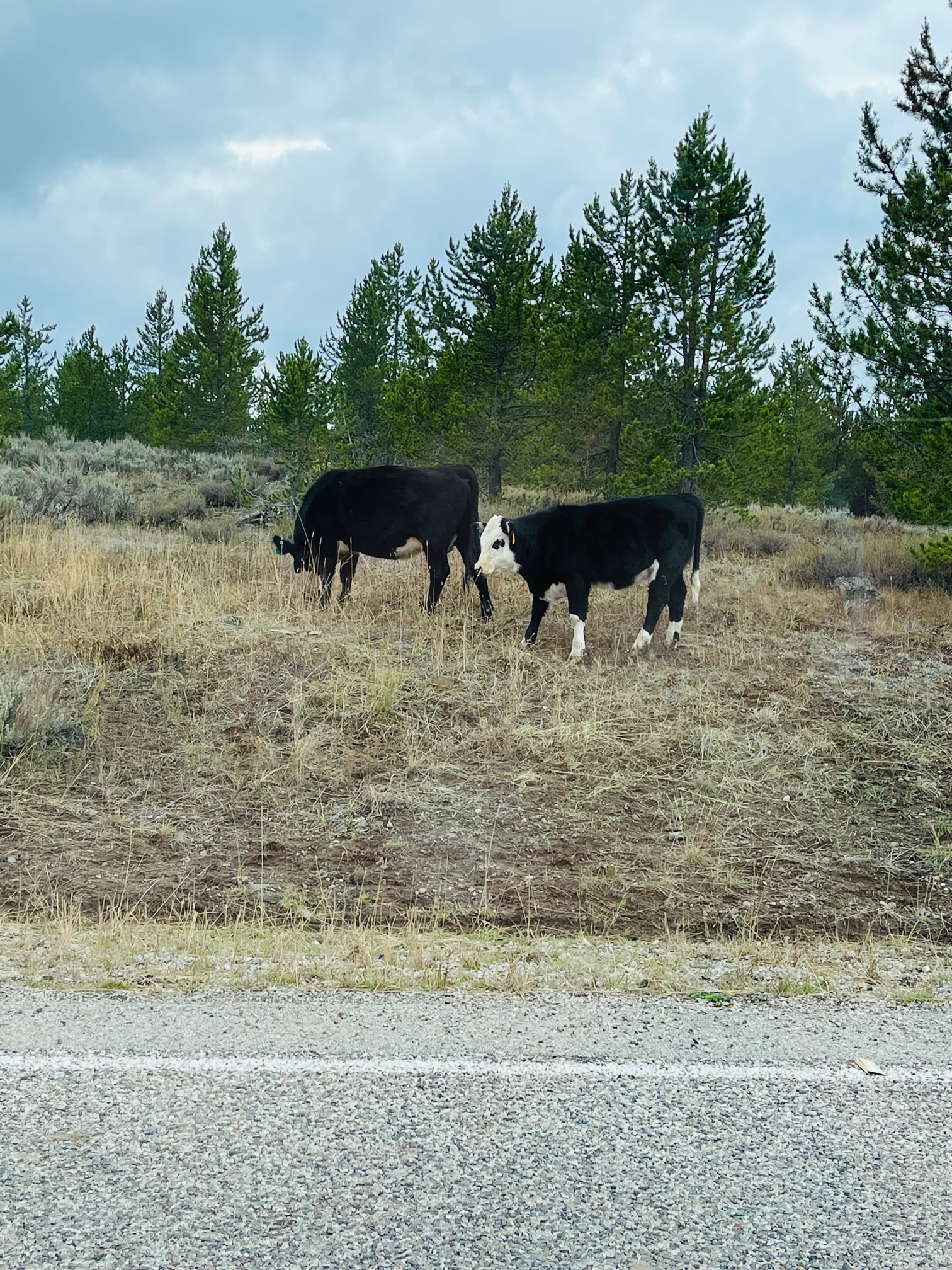
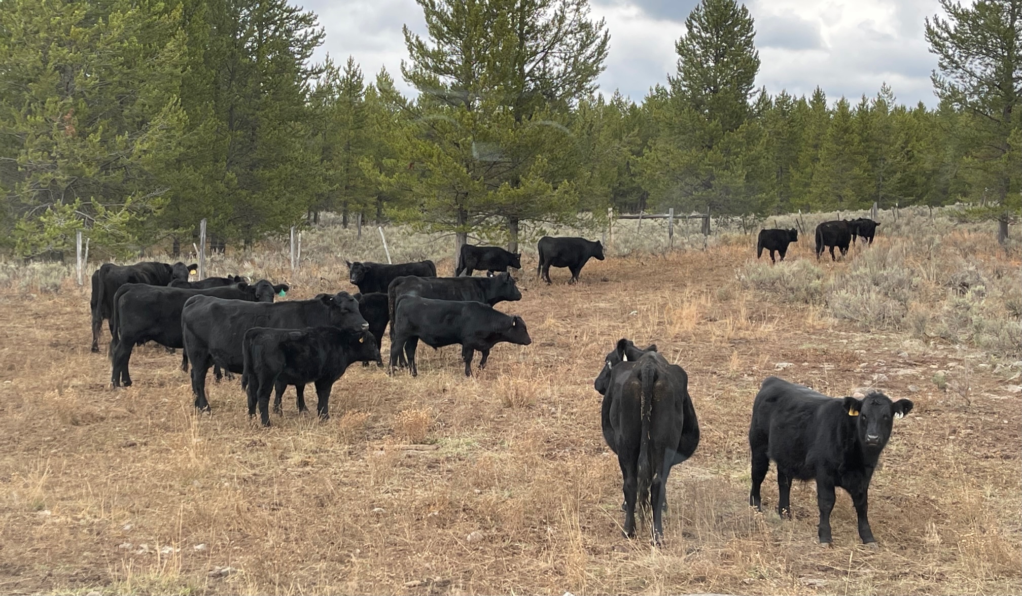
On my way out of the byway and back to the highway, traffic came to a stop when cattle attempted to cross the road! They were so relaxed, even with all of their mooing!
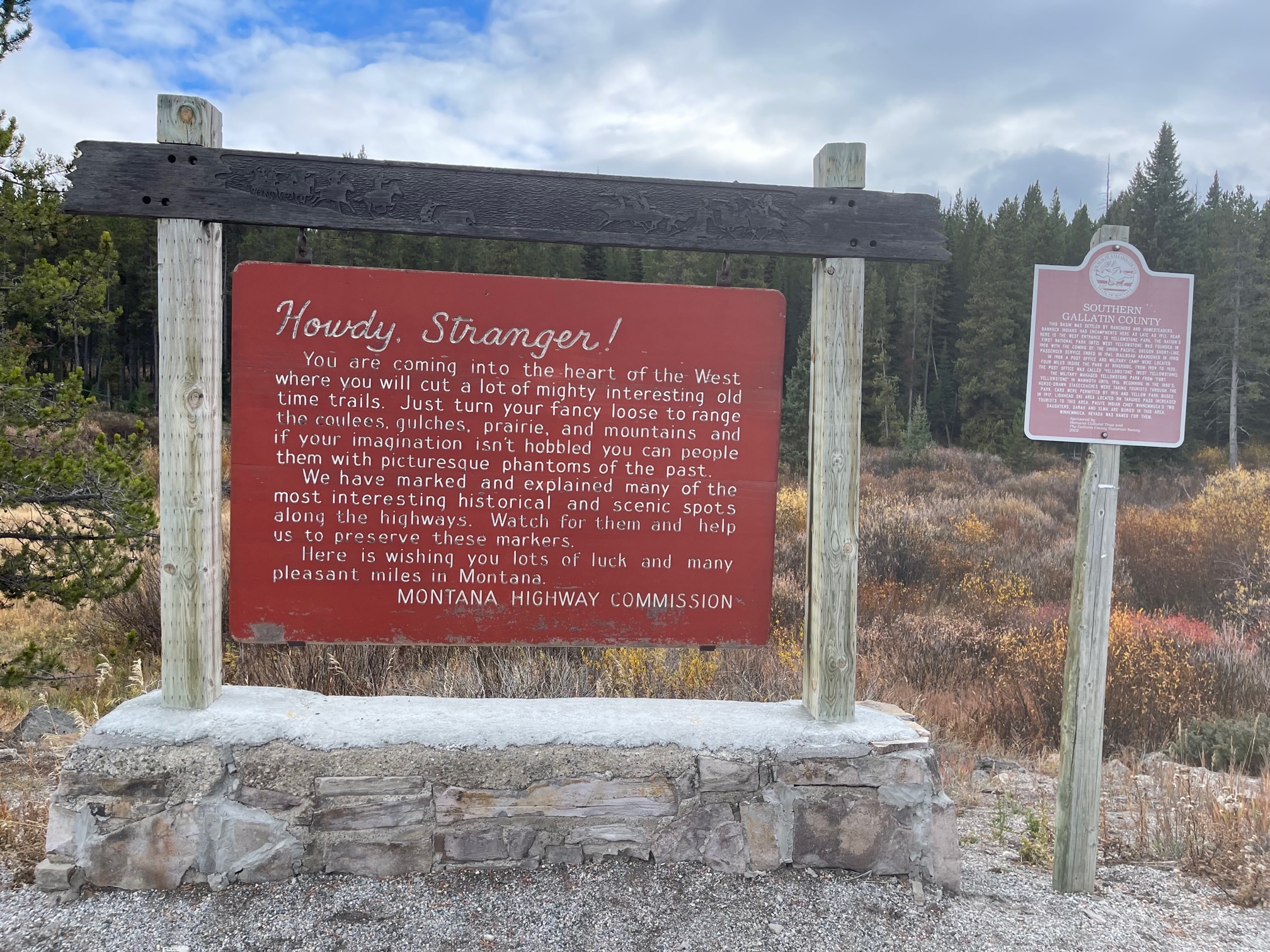
On my way back to West Yellowstone, MT, I saw a Welcome Sign with a nice message about the Wild West and a mama and baby moose!
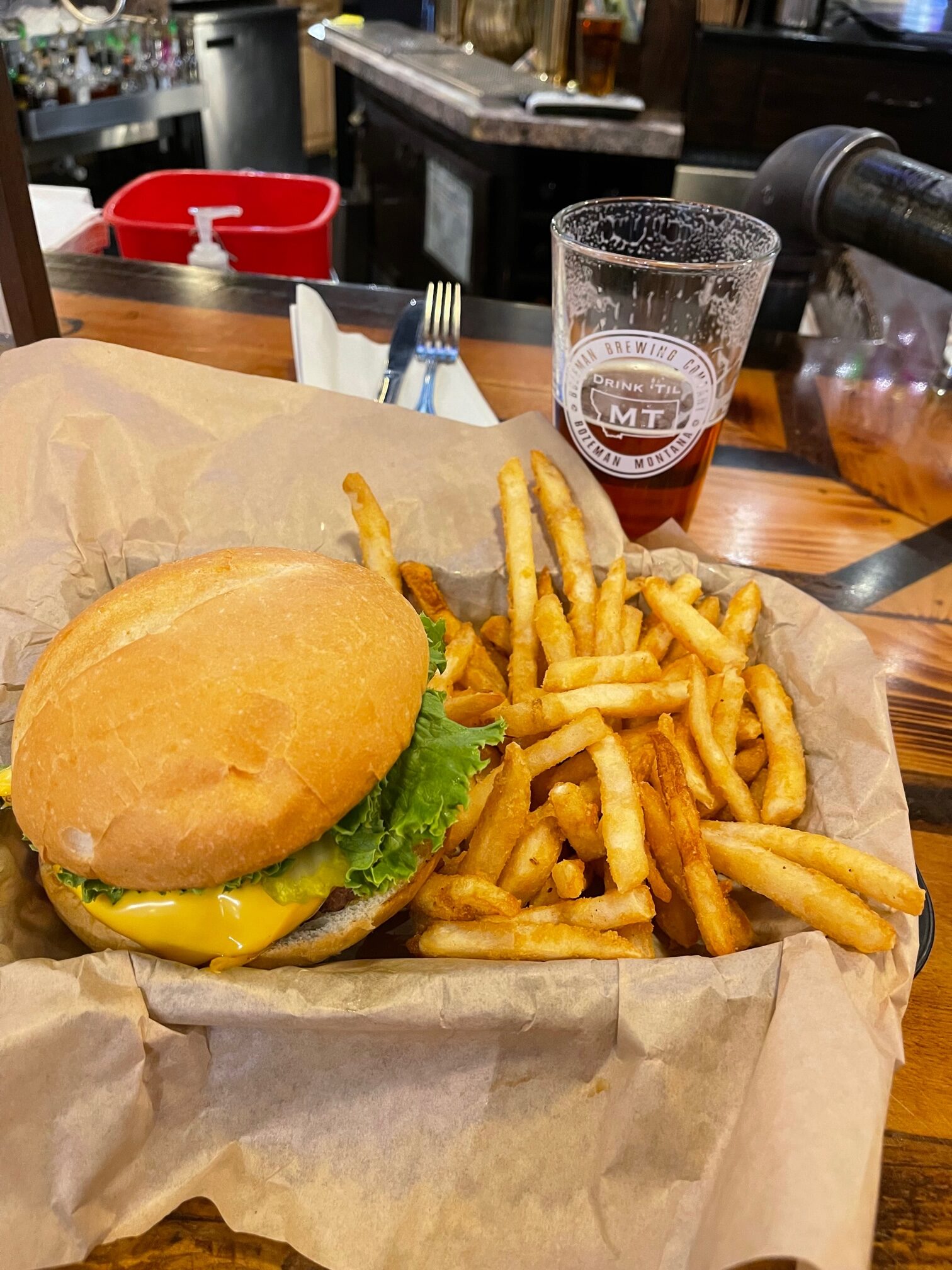
The time has come for my favorite part of the blog: the last meal. Where oh where did I eat?
Luckily, I had learned on Saturday that West Yellowstone has the most open restaurants, thank god! So I stopped at a spot that claimed to have the best buffalo burger in town (yes, this is actually something “bad” I wanted to eat on the whole trip versus the other days): The Buffalo Bar. I ordered my burger with all of the fixings and American cheese, plus a side of fries and an Amber Ale beer. I had hardly eaten anything that day and I was so happy to have a full meal!
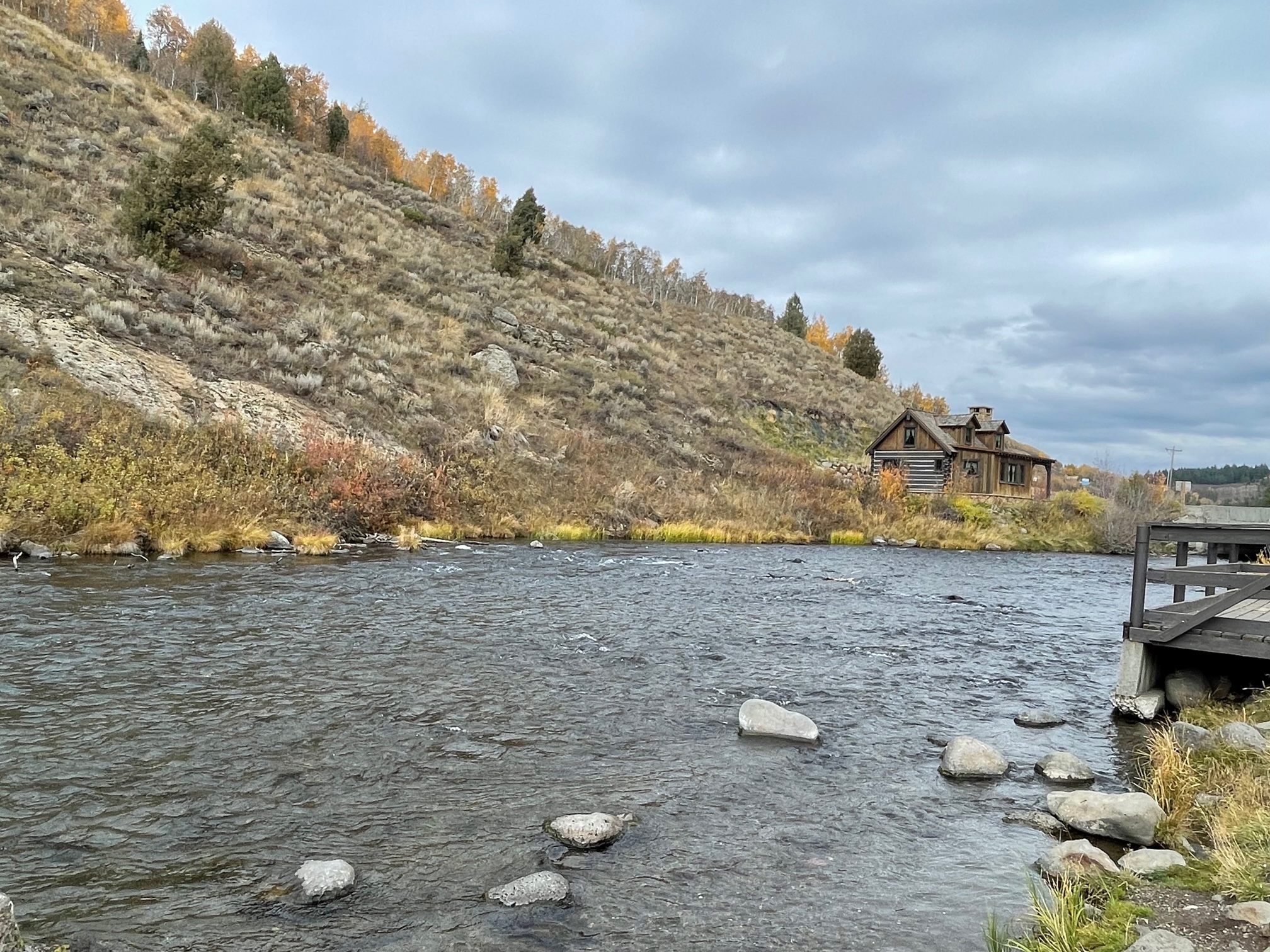
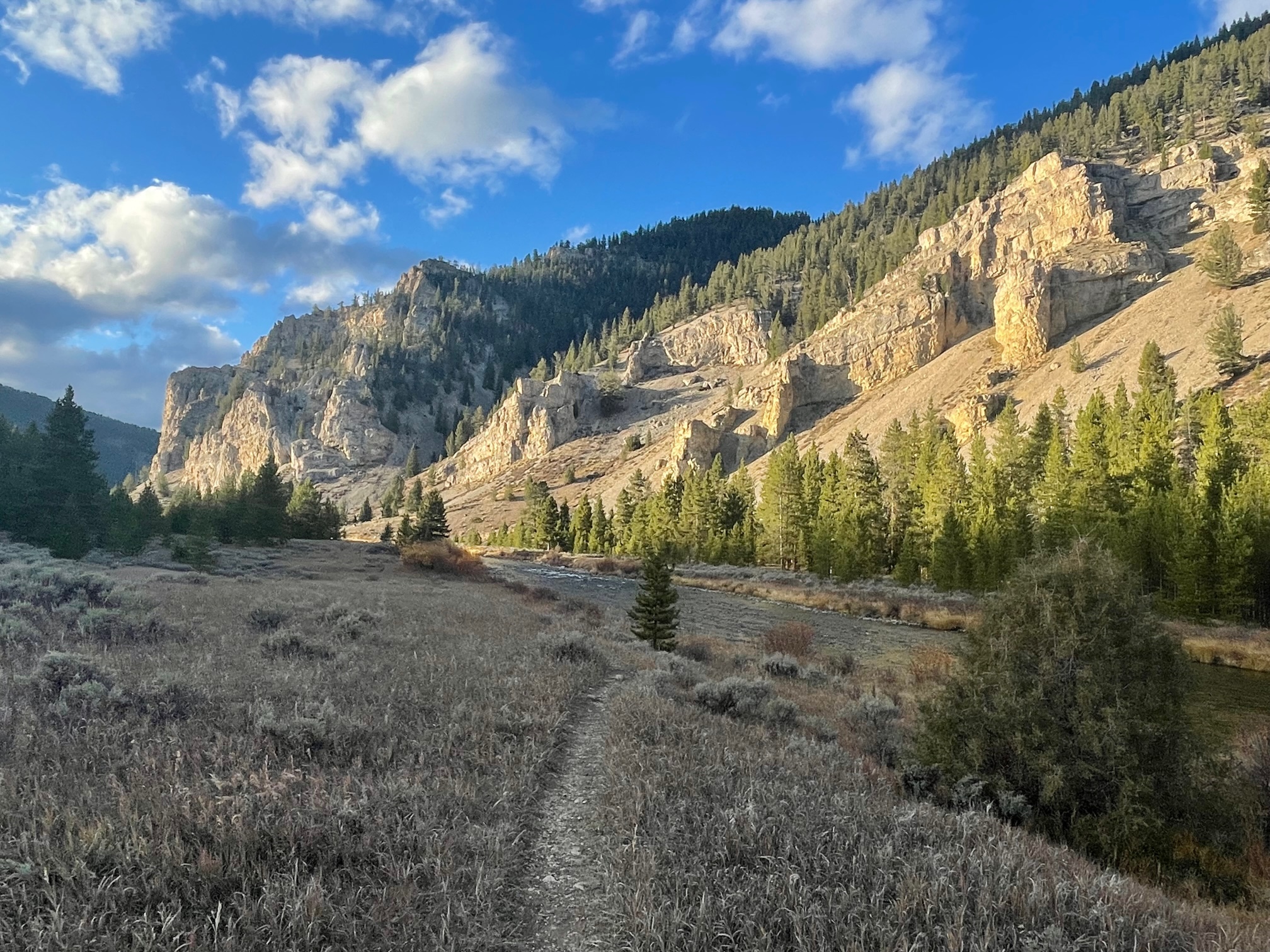
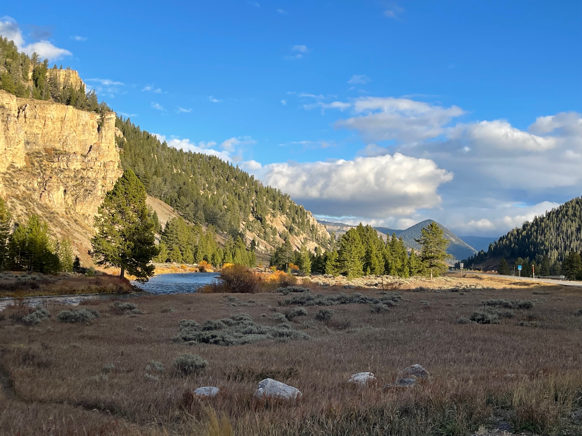
The photos below were the last ones I got approaching Big Sky, MT. The sun was hitting the side of the mountain and river very nicely. Because I didn’t have much sun driving home the day before, I decided to get these shots.
Day 5 – Monday, October 11
Big Sky, MT
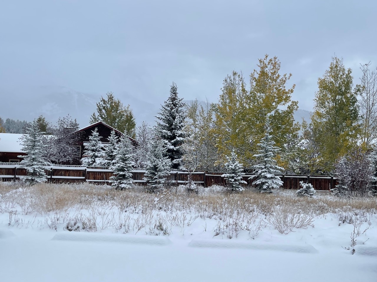
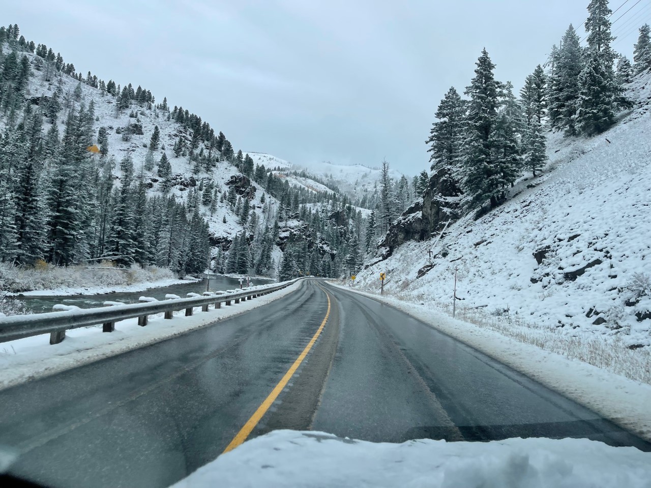
So this was the day the “bad snow storm” was supposed to come in. It was anticipated that the mountain peak would receive 8 to 18 inches of snow while the meadows would receive 3 to 6 inches. When I woke up at 8am, there was about 4 inches on the ground. Originally, I was going to stay at my Airbnb until noon then head to the airport, but given the fact that the snow was supposed to get worse later in the mountains, I decided to take off early. I had to brush off the car with the gloves I had on and use a credit card to get the ice off of.
It was pretty though!
Bozeman, MT
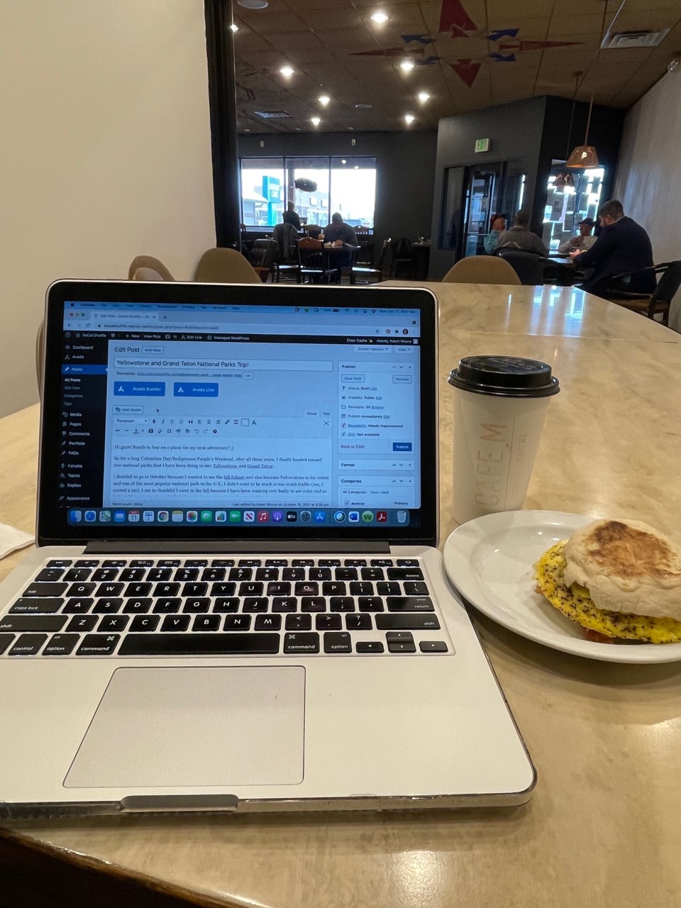
I then went on my daily food hunt. I ended up finding the only coffee shop open called Cafe M about 1 mile from the airport. I had a vanilla latte that was perfect and not too sweet and a turkey bacon breakfast sandwich with seasoned egg. There was a huge workspace toward the back on the cafe so I could finish this blog for you guys! 🙂
Something I didn’t get to see that I had planned were the Bleu Horses, which are sculptures of 39 horses on a hilltop just west of Bozeman, MT. Because of the snow that came in, I just decided not to go.
And that’s it guys, thanks for coming along with me! It was some journey and I highly recommend going on this trip yourself!
If you go to any of these magnificent parks (past and future), let me know your favorite spots or places you still want to check out! 🙂


